Larkin Lake
Total Miles
5.6
Technical Rating
Best Time
Fall, Summer
Trail Type
Full-Width Road
Accessible By
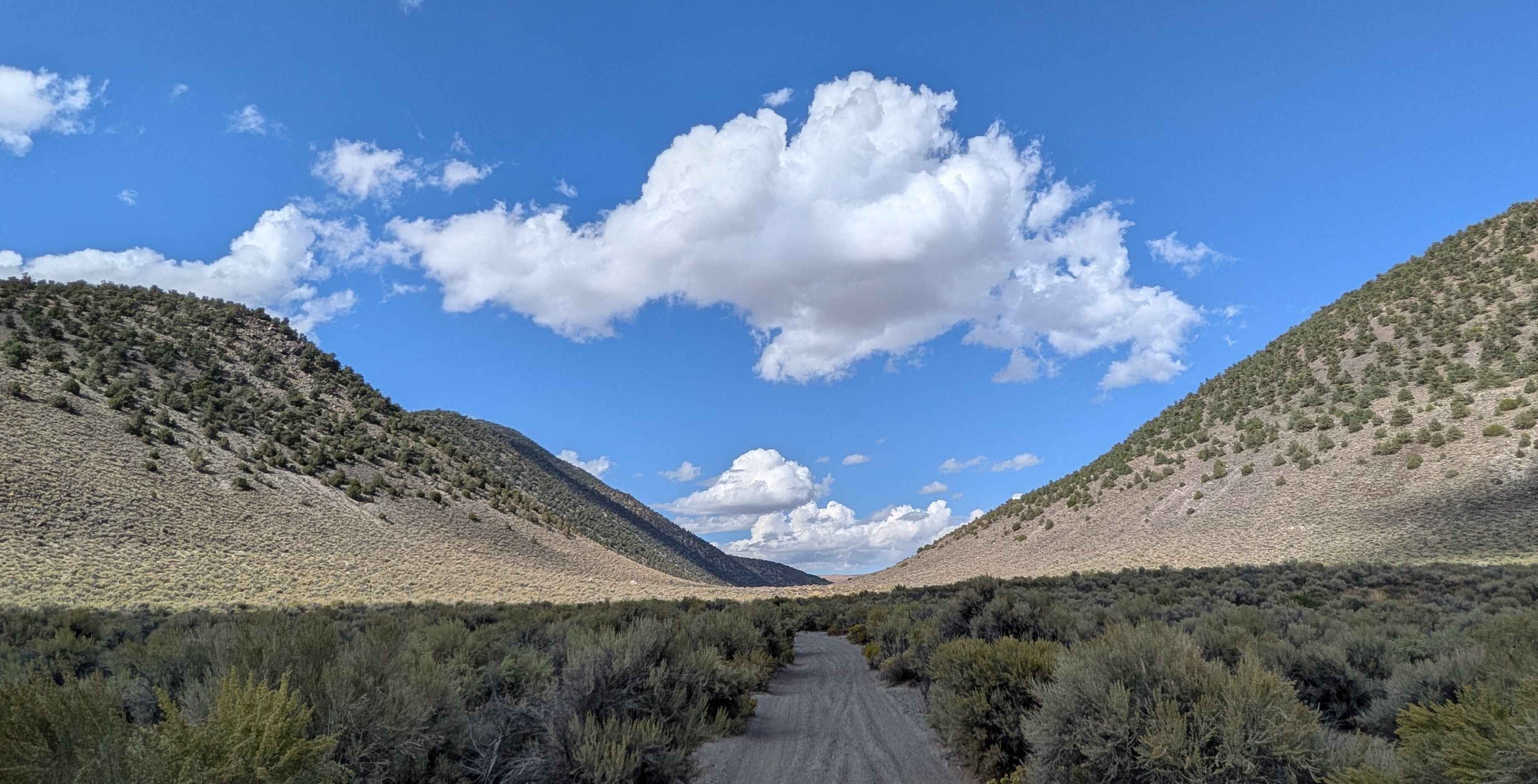
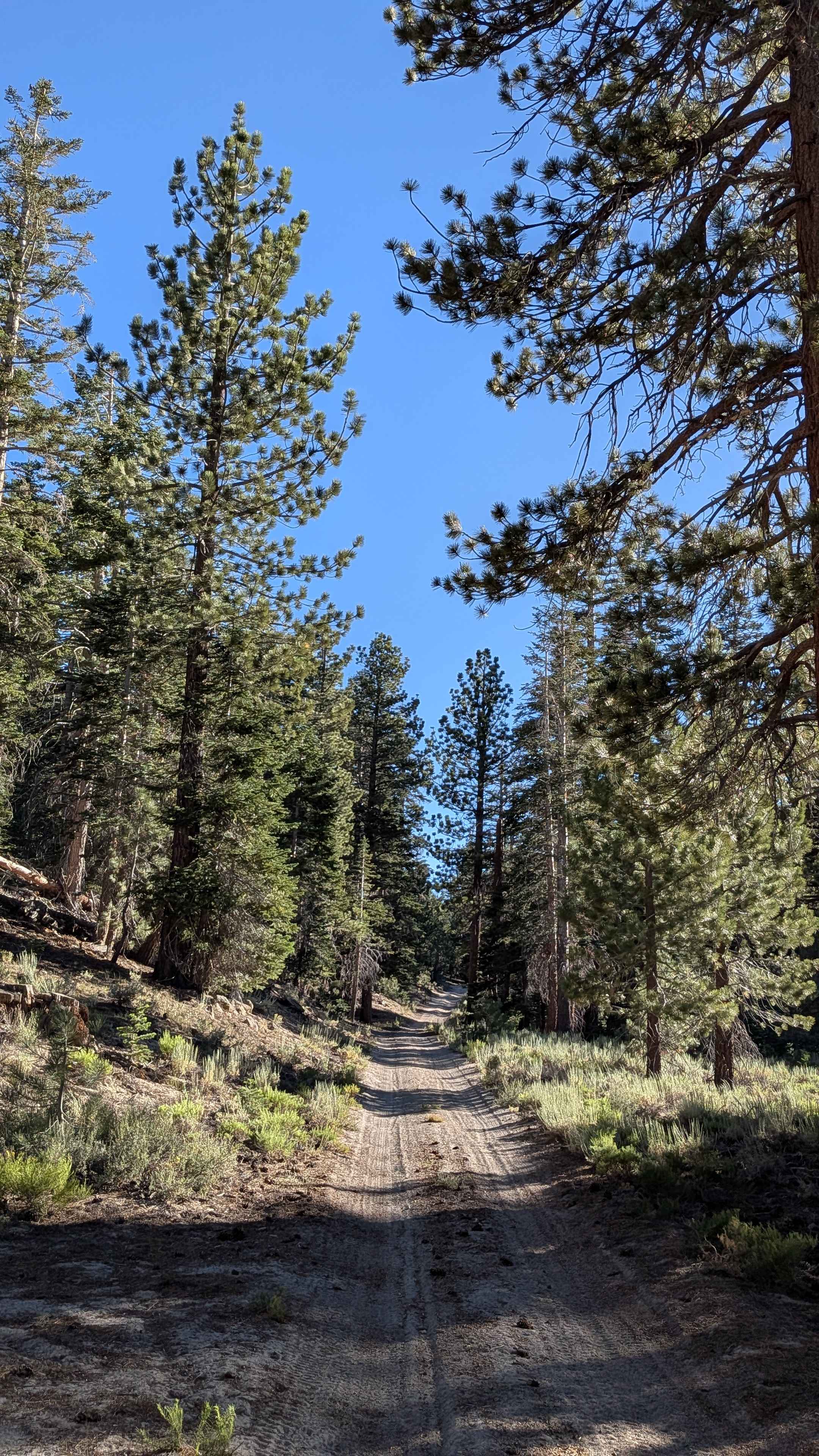
Trail Overview
This sand and pumice trail is one vehicle wide and lined with brush, offering 360-degree views of hills and mountains, including the Eastern Sierras and the Bodie Mountain area. The trail climbs 200 feet and drops 200 feet into a valley and meadow over just over 5.6 miles. The route leads to Larkin Lake and can be done as an 11-mile out-and-back trail or continued into Nevada onto another trail system. The trail continues to drop into a big open valley/meadow where the track becomes more sandy and cuts between two large hills. Larkin Lake has completely dried up, with only remnants remaining in what is now a big open meadow that would be great for camping.
Photos of Larkin Lake

Difficulty
This trail earns a low difficulty rating with its sand and pumice surface. The brush becomes overgrown in the meadow area, and the harsh, rough bushes will give vehicles Sierra pinstripes. There are also off-camber sections in the meadow, along with some whoops that add to the navigation challenges.
History
Los Angeles water diversions: Beginning in the 1930s, the Los Angeles Department of Water and Power (LADWP) purchased land and water rights in the Mono Basin to expand its water system. While Larkin Lake is not a major tributary, this widespread shift in land ownership and water management affected the entire region, and is a possible contributor to why there is no longer any water in this old lake bed.
Status Reports
Larkin Lake can be accessed by the following ride types:
- High-Clearance 4x4
- SUV
- SxS (60")
- ATV (50")
- Dirt Bike
Larkin Lake Map
Popular Trails

Reflector Road
Indian Creek
Red Fir Road - FS3S24

The onX Offroad Difference
onX Offroad combines trail photos, descriptions, difficulty ratings, width restrictions, seasonality, and more in a user-friendly interface. Available on all devices, with offline access and full compatibility with CarPlay and Android Auto. Discover what you’re missing today!