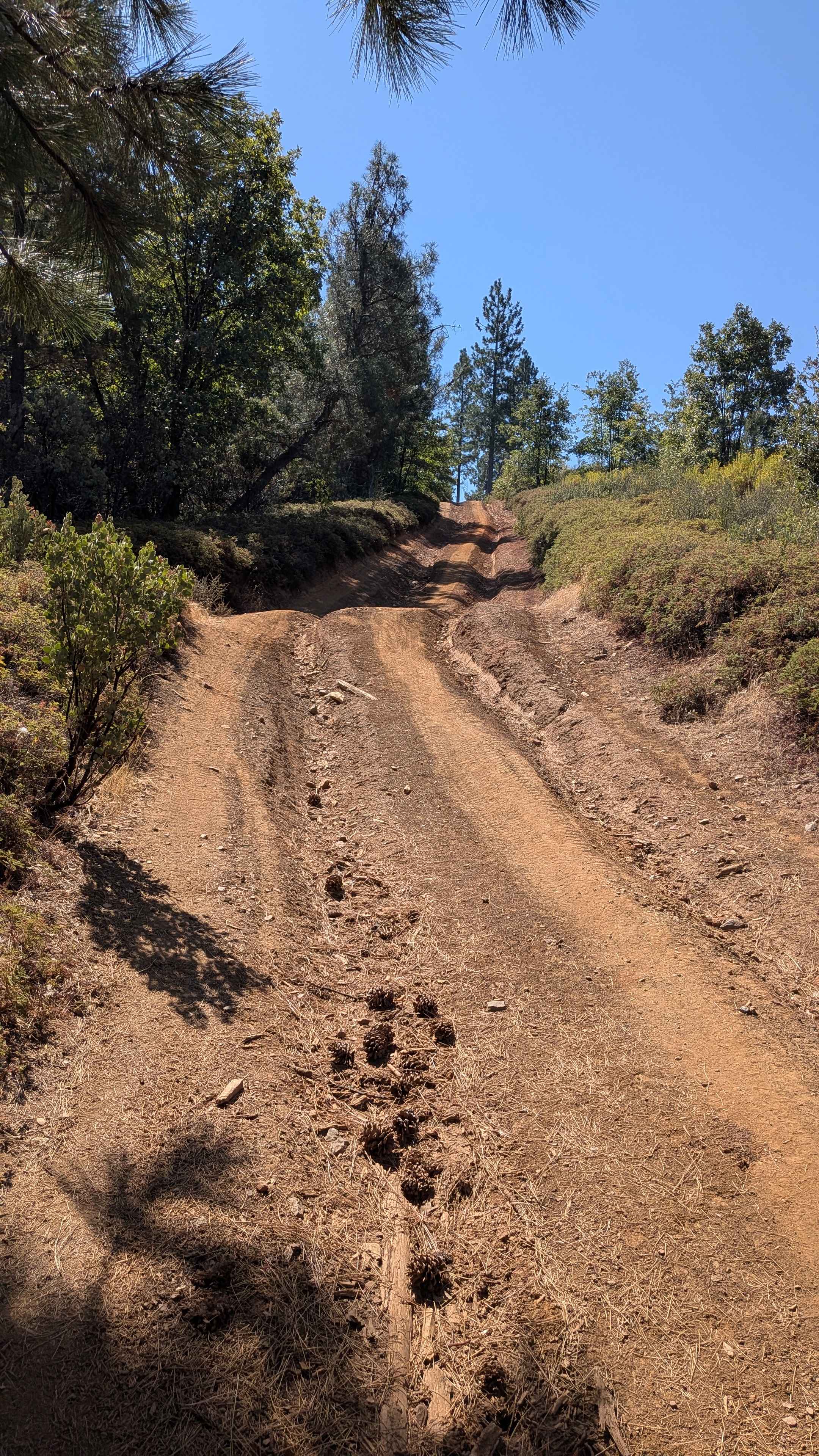
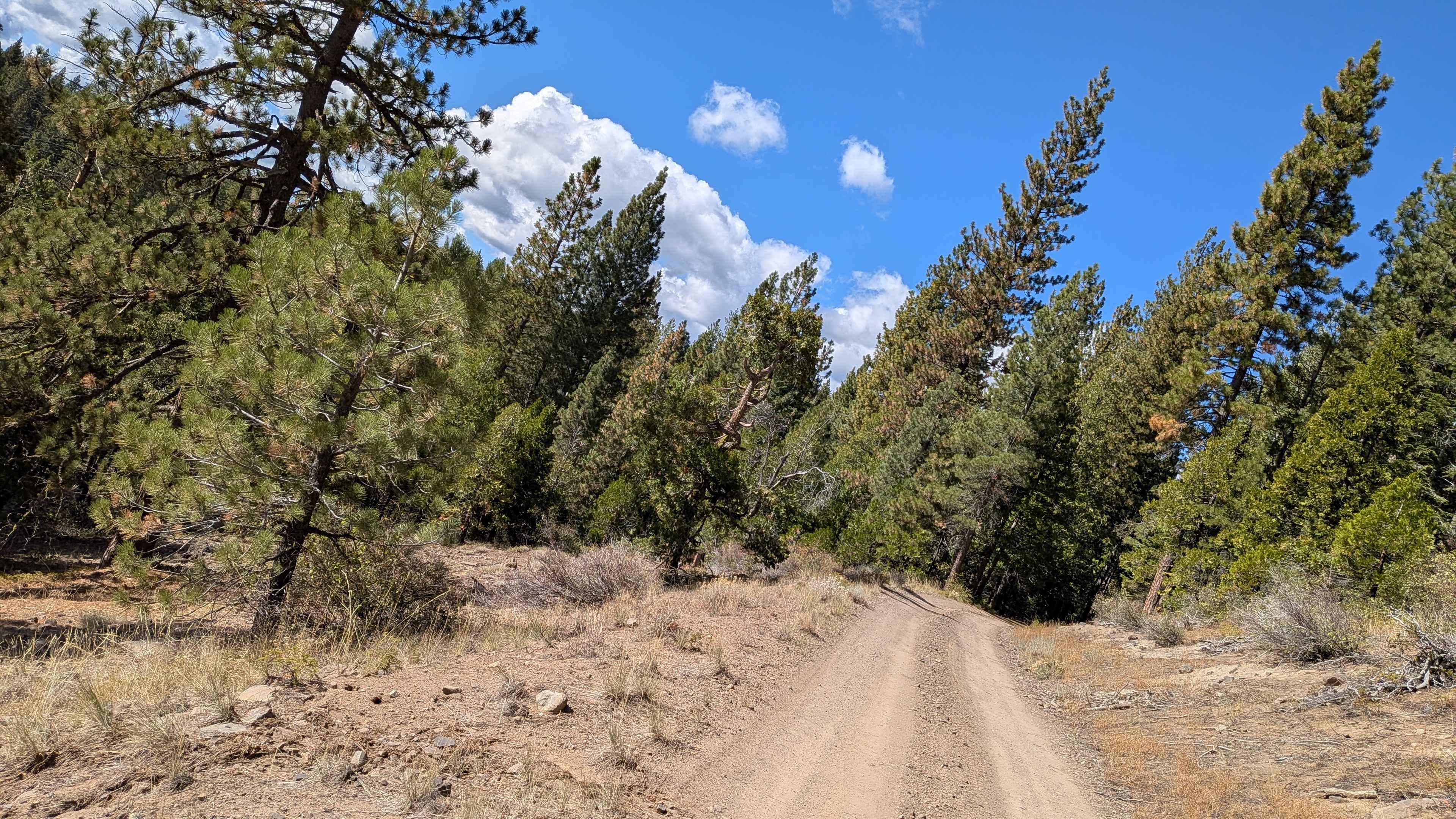
Last Chance Canyon

Total Miles
16.9

Elevation

1,211.15 ft

Duration

4 Hours

Technical Rating

5

Moderate

Best Time

Winter, Spring, Summer, Fall

Trail Overview

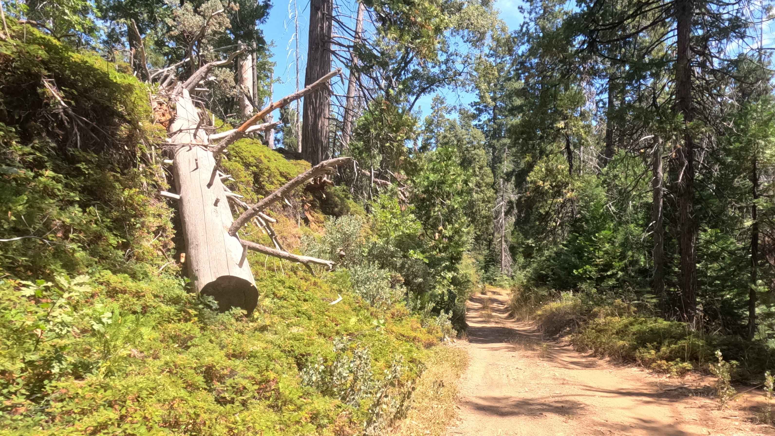
This alternate way to Bickel Camp and Burro Schmidt Tunnel offers a bit more challenge than Bonanza Gulch, Trail #55. Towering red buttes surround the canyon as you pass through Cudahy Camp and continue north. Don't miss the interesting dugout west of the camp. Area is open to greensticker vehicles but you must stay on designated routes at all times. No camping in Red Rock Canyon State Park.

Photos of Last Chance Canyon

Last Chance Canyon
Last Chance Canyon
Last Chance Canyon

Difficulty

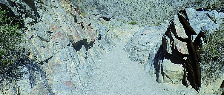
Moderate: One spot, we call the V-slot, is very narrow and will challenge wider vehicles. A bypass is only slightly easier. Stock, high-clearance, 4x4 SUVs can manage this trail with an experienced driver. Be aware of the possibility of flash floods.

History

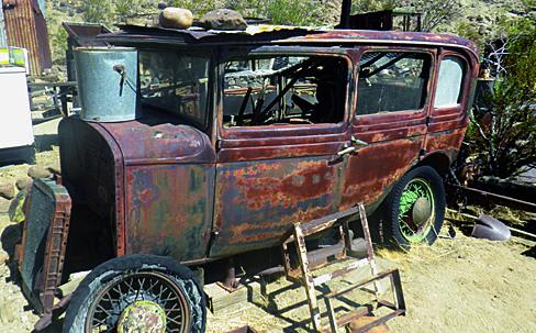
Dubbed the 'human mole' by Time Magazine in the 1940s, William 'Burro' Schmidt spent 38 years digging his half-mile-long tunnel. He operated it as a tourist attraction until his death in 1954. During our first visit in 2002, we met a 90-year-old woman, Tonie Seger, who was still living in the main cabin. Artifacts were everywhere. Today, nothing remains but bare cabins (see photos).

Technical Rating

5

Status Reports

Christian Seabaugh
Apr 15, 2024
4x4
Open
Rough/Deteriorated
Washboard
Steven Hartman
Apr 05, 2024
2022 Jeep Wrangler
Open
Normal
I started at Red Rock Randsberg Rd, turned off to follow EP15, loop around by way of Sierra View Rd, Roaring Ridge Rd, then down Opal Trail/Opal Canyon. Of that big loop, only Last Chance Canyon proper is challenging at all. Conditions are similar to when I visited last year. Long long ago, there was a dirt 4x4 road elevated from the canyon floor. Flash floods have long since decimated that path. Now, most (but not all!) of the path is down in the river wash proper. There you'll find sand, gravel, intermingling paths, and small boulder obstacles that sometimes combine themselves into modest challenges. There's a well known optional V Notch, and a climb sometimes called "Graduation Hill" as well as many side lines. A couple spots where the path follows the old road that eroded away, leaves minor tilt/tip challenges. Pretty easy for experienced driver in a lifted 4x4 on 35/37 tires. Stock 4x4s or inexperienced drivers may have more trouble, but should make it with spotting
Peter Henry
Mar 27, 2024
4x4
Open
Washboard
This trail really should be broken into two sections. North from Cudahy Camp there is one obstacle - a relatively big steep rock ascent/descent that you really want a spotter for. It’s hard rock, so Hillary didn’t really do much to it. Everything else N of there is very easy, some sandy areas, a few small ledges. You want clearance and good shock absorbers more than anything else. South of Cudahy Camp is a different story. See previous post, but Hillary made a horrible mess of the southern section.
Romain Laboisse
Mar 26, 2024
2020 Jeep Gladiator
Open
We just did the segment between Opal Cyn to EP15. This part was easy, with only one challenge: a big ramp up shortly after Cudahy Camp. We saw a few side-by-sides.

Access Description

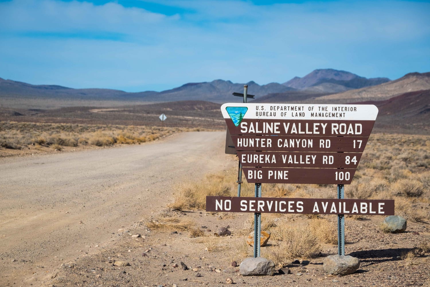
From Highway 14 about 21 miles north of Mojave, turn right (northeast) on Redrock-Randsburg Road and go 6 miles to wide dirt road on left. Look for signs after you turn. This point is 14.4 miles west of Randsburg.

Popular Trails

Go Farther

Try onX Offroad Elite for free for a week — no strings attached. Get access to thousands of off-road dirt trails and snowmobile trails across the nation. View your favorite zones in 3D. Send trails to friends. Start planning the trip of a lifetime now.