Lone Star - FS 26S24
Total Miles
1.1
Technical Rating
Best Time
Fall, Summer, Spring
Trail Type
Full-Width Road
Accessible By
Trail Overview
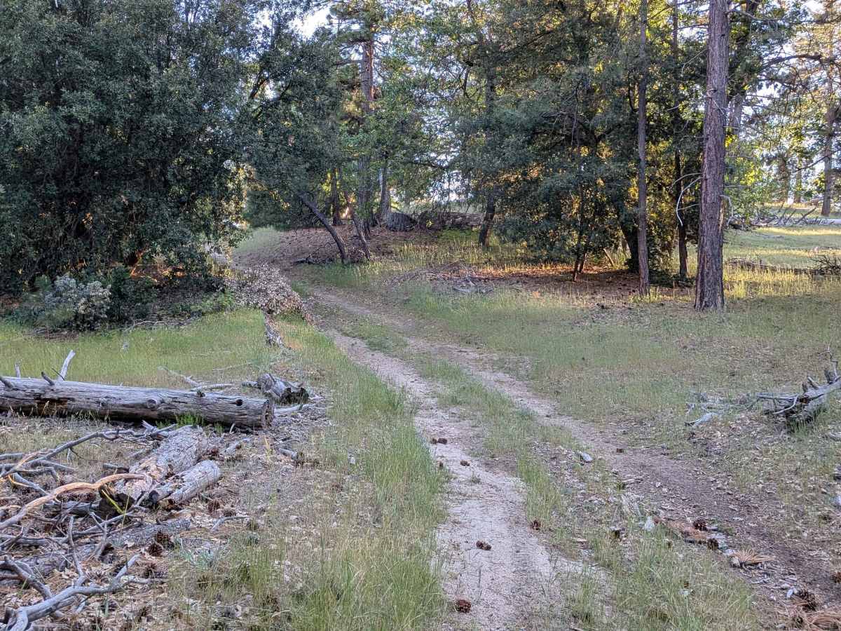
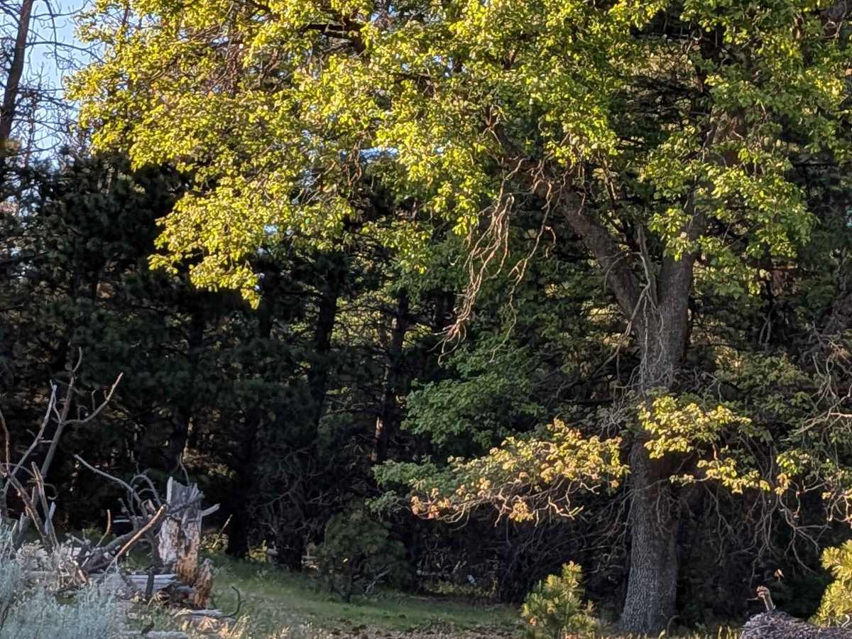
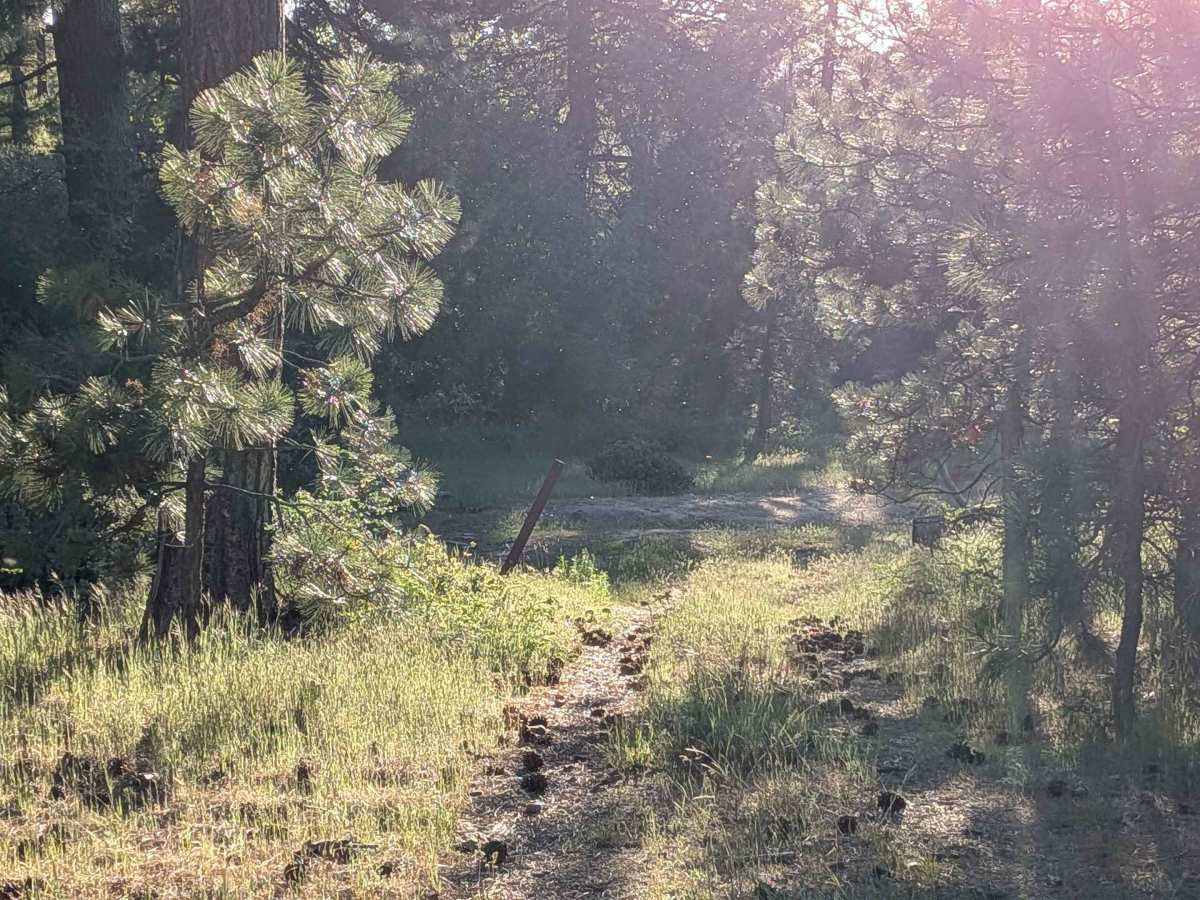
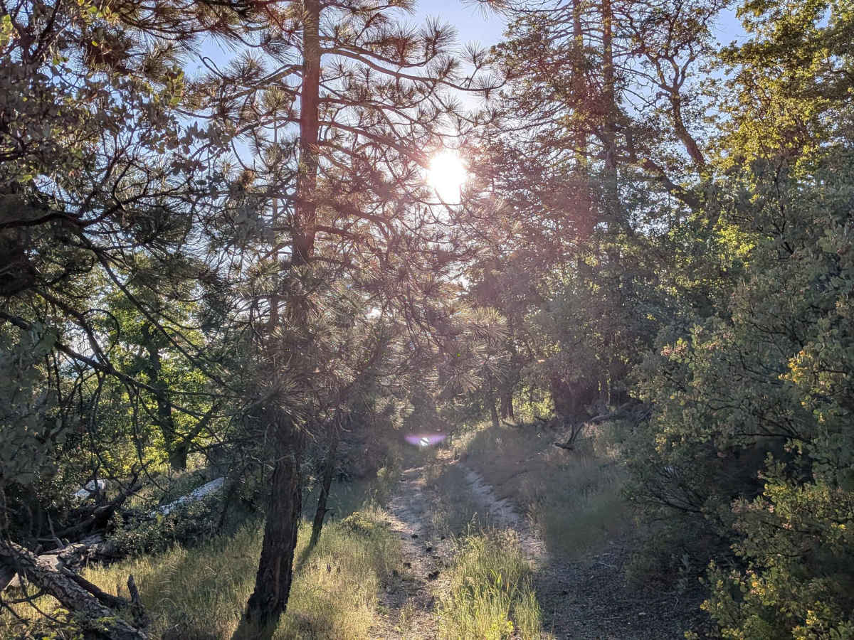
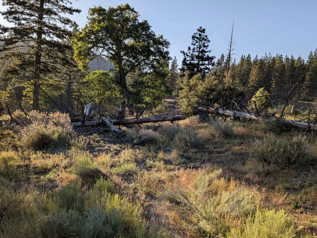
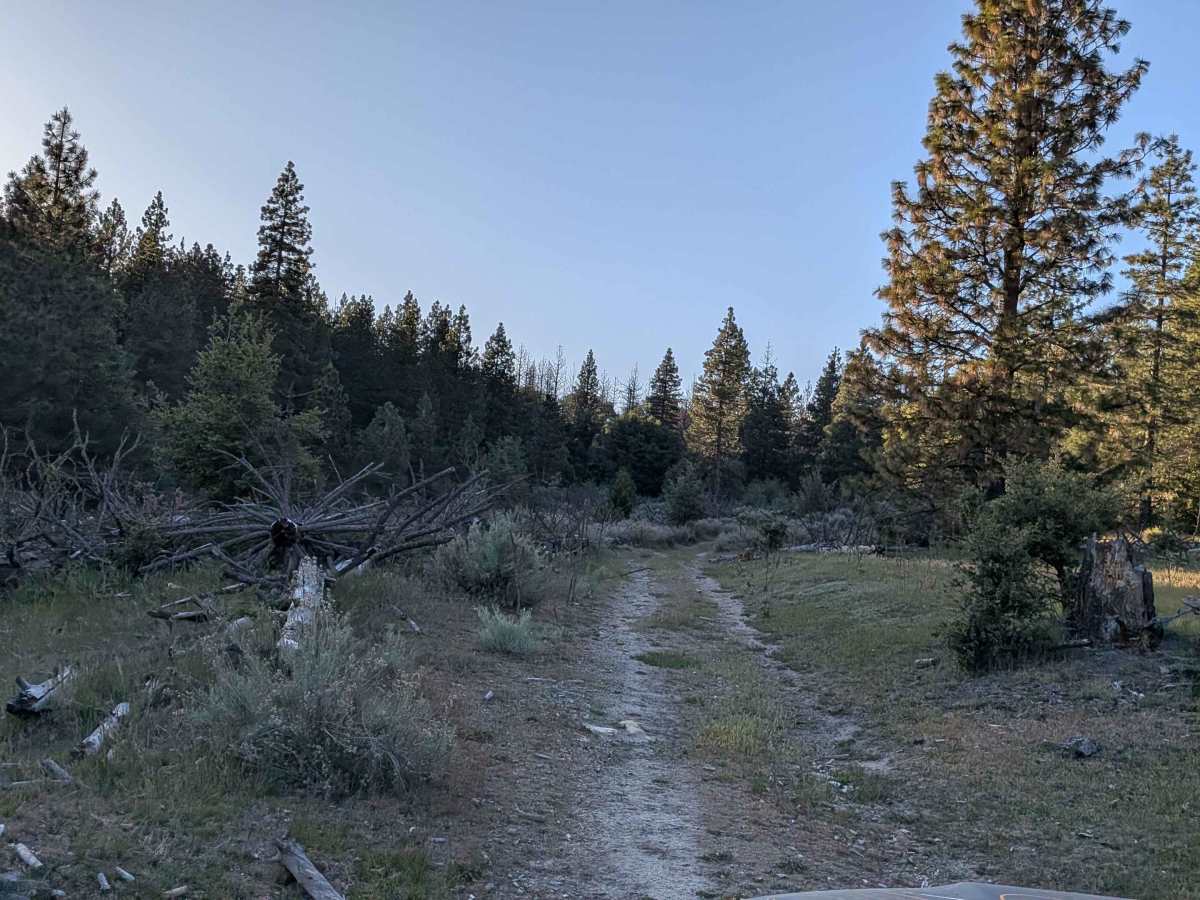
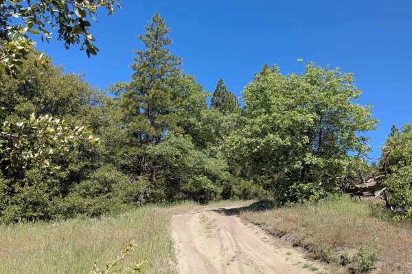
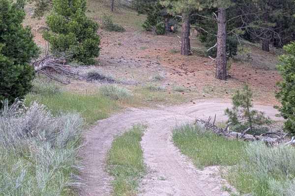
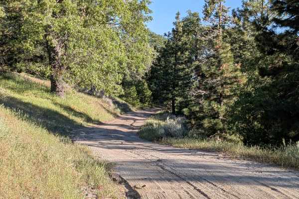
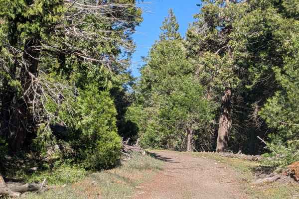
Lone Star (FS 26S24) winds through a grassy hill area surrounded by trees within Sequoia National Forest, connecting Brown's Mill to the Mayflower 4x4 Trail. The landscape has an open, pastoral quality with grassy clearings breaking up the tree cover along the way. Evidence of trail maintenance is visible throughout, with many cleared trees moved to the sides of the route. The trail currently stops a few hundred feet short of its full terminus at the Lone Star Mine due to downed trees blocking the final approach.
Photos of Lone Star - FS 26S24
Difficulty
Small ruts, off-camber sections, and uneven surfaces appear throughout the route. Overgrown low-hanging branches are an additional consideration for taller vehicles. The downed trees near the mine end the trail prematurely and require a turnaround before reaching the historical terminus.
Status Reports
Lone Star - FS 26S24 can be accessed by the following ride types:
- High-Clearance 4x4
- SUV
- SxS (60")
- ATV (50")
- Dirt Bike
Lone Star - FS 26S24 Map
Popular Trails
Mendocino County Road 500
Calcite Mine Road
Red Fir Road - FS3S24
Campfire Lookout
The onX Offroad Difference
onX Offroad combines trail photos, descriptions, difficulty ratings, width restrictions, seasonality, and more in a user-friendly interface. Available on all devices, with offline access and full compatibility with CarPlay and Android Auto. Discover what you’re missing today!