Mammoth Creek Road - FS 3S09
Total Miles
4.0
Technical Rating
Best Time
Summer, Fall
Trail Type
Full-Width Road
Accessible By
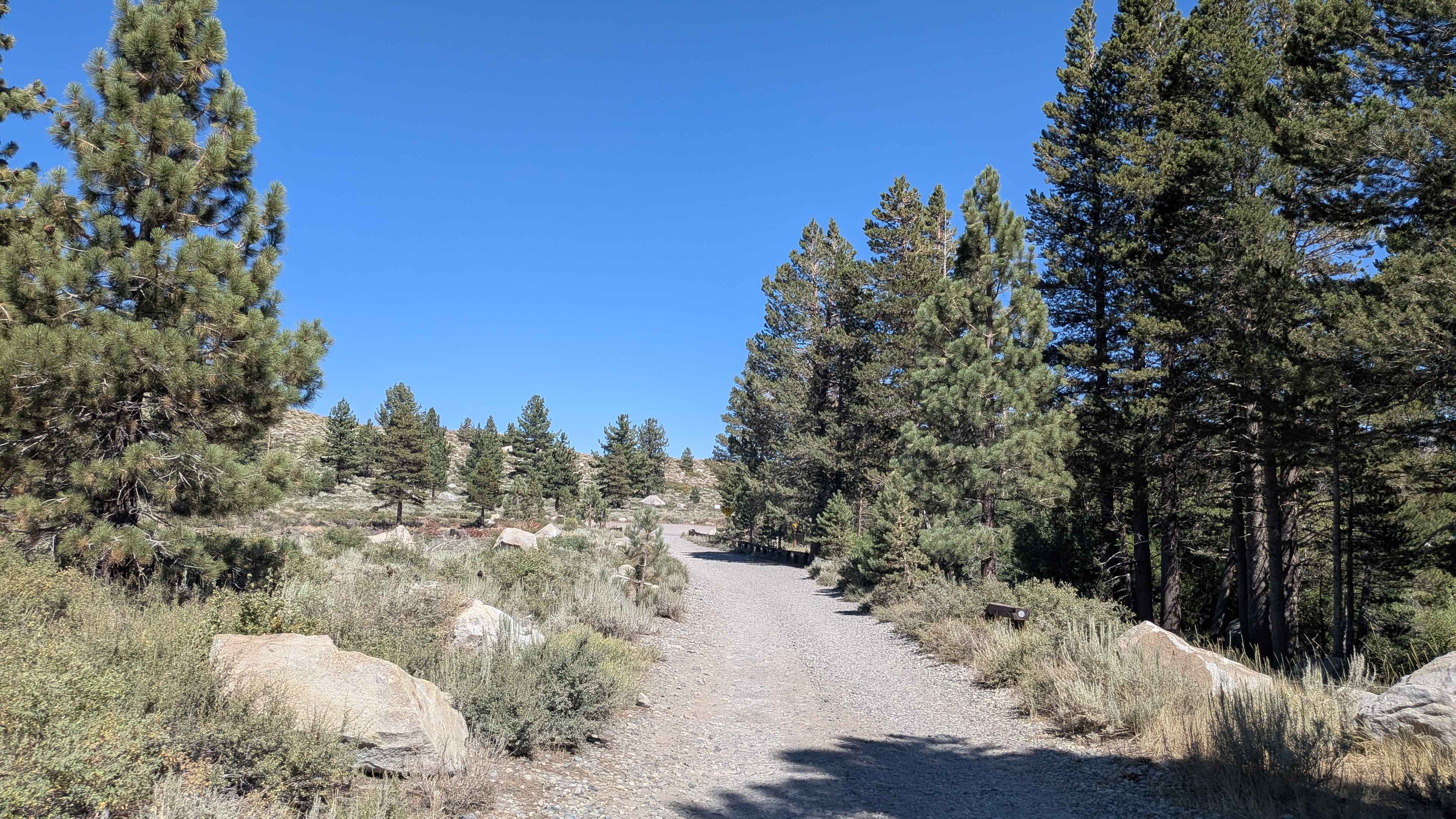
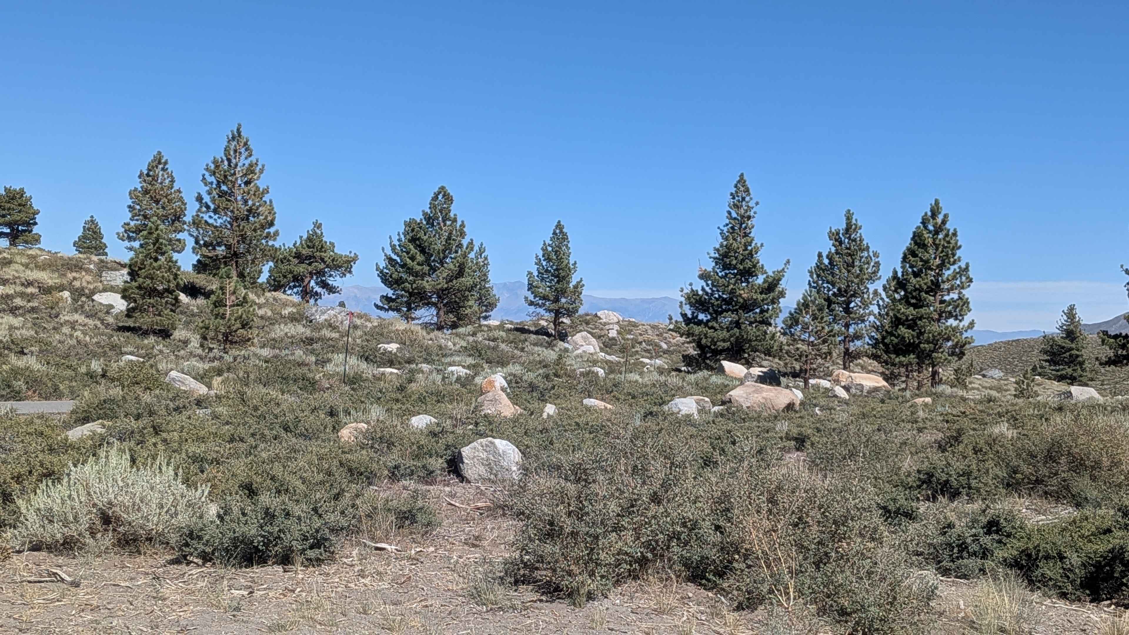
Trail Overview
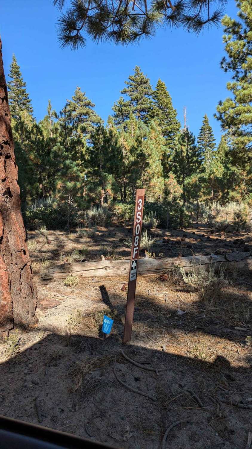
Beginning off Old Mammoth Road across from the Mammoth Creek Park and Ice Rink, this gravel and rock trail quickly immerses you in the natural beauty of the Eastern Sierra backcountry. Winding through dense stands of manzanita and tall pine, the route parallels Mammoth Creek, offering a tranquil ambiance and striking views of the creek-lined aspen groves, especially vibrant in the fall foliage season. Expect occasional basketball-sized rocks, light ruts, and whoops caused by seasonal runoff and OHV use. About 2.5 miles in, you'll pass through a burn scar area, now marked by early regrowth and open canopy. The trail descends gradually in elevation, delivering expansive views of Mammoth Mountain, Mount Sherwin, Mount Laurel, and Mount Morrison, as well as Glass Mountain and the White Mountains to the east. Numerous spur trails (including FS 3S09C and FS 3S09A) split off the main route, allowing further exploration of the area. The trail also features a short shelf road section with narrow, slightly exposed edges--nothing extreme, but drivers should stay alert. This is a multi-use area, frequently shared with hikers, dog walkers, and mountain bikers, so proceed cautiously. Important: Dispersed camping is no longer permitted along this trail.
Photos of Mammoth Creek Road - FS 3S09
Difficulty
Surface: Gravel and rock with embedded loose stones. Obstacles: Some rocks up to basketball size, light whoops and ruts, minor shelf exposure. Vehicle Requirements: High-clearance recommended. 4WD not strictly required, but beneficial in rougher or looser segments. Hazards: Shared trail use (pedestrians/bikers), no shade in burn scar, no camping. This trail offers a scenic, moderate challenge suitable for stock 4x4s with clearance and confident drivers. Airing down slightly may help with comfort over rocky sections.
Status Reports
Mammoth Creek Road - FS 3S09 can be accessed by the following ride types:
- High-Clearance 4x4
- SUV
- SxS (60")
- ATV (50")
- Dirt Bike
Mammoth Creek Road - FS 3S09 Map
Popular Trails
Turtle Mountain Road
Central Camp - FS 6S042
The onX Offroad Difference
onX Offroad combines trail photos, descriptions, difficulty ratings, width restrictions, seasonality, and more in a user-friendly interface. Available on all devices, with offline access and full compatibility with CarPlay and Android Auto. Discover what you’re missing today!