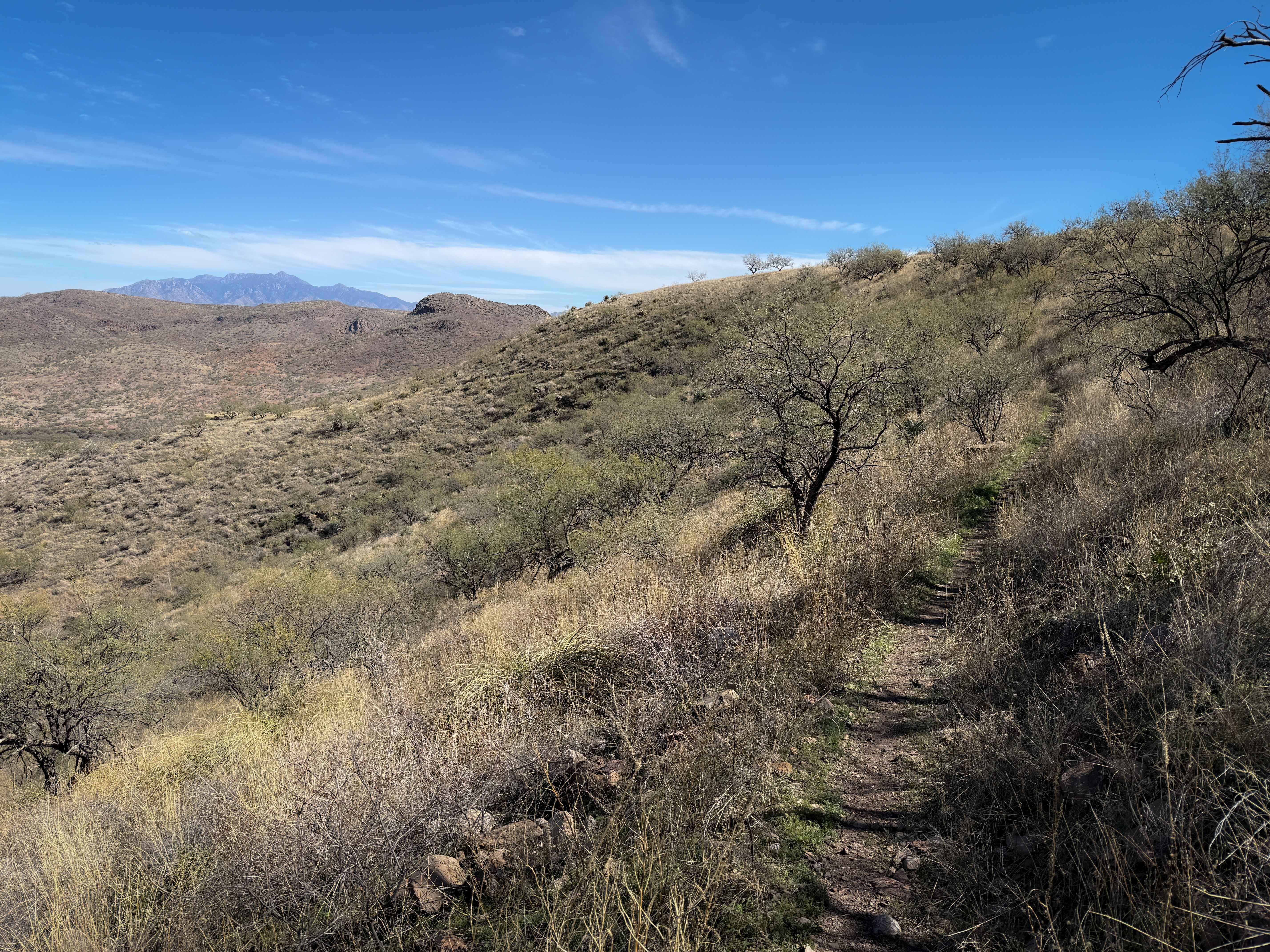
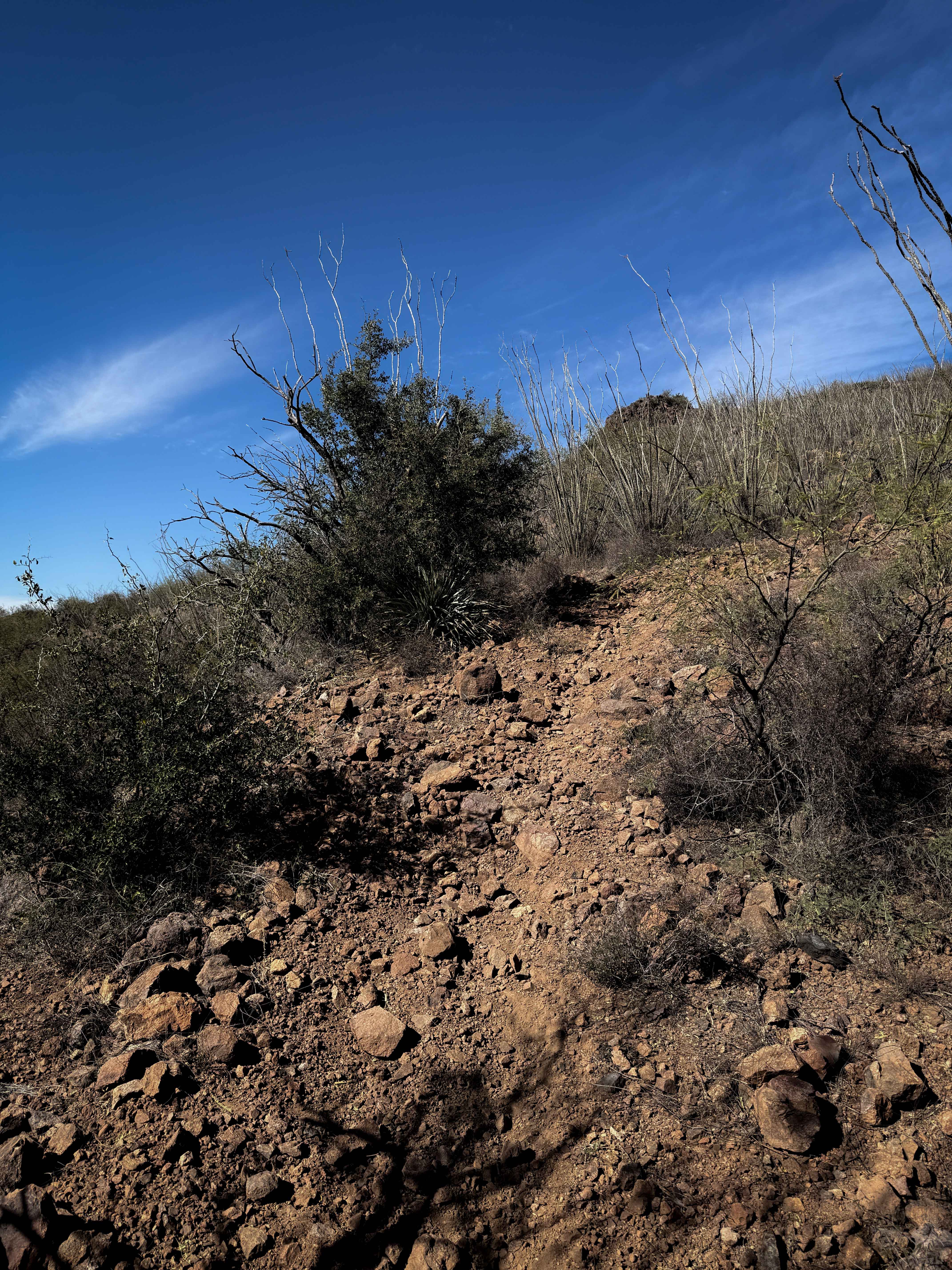
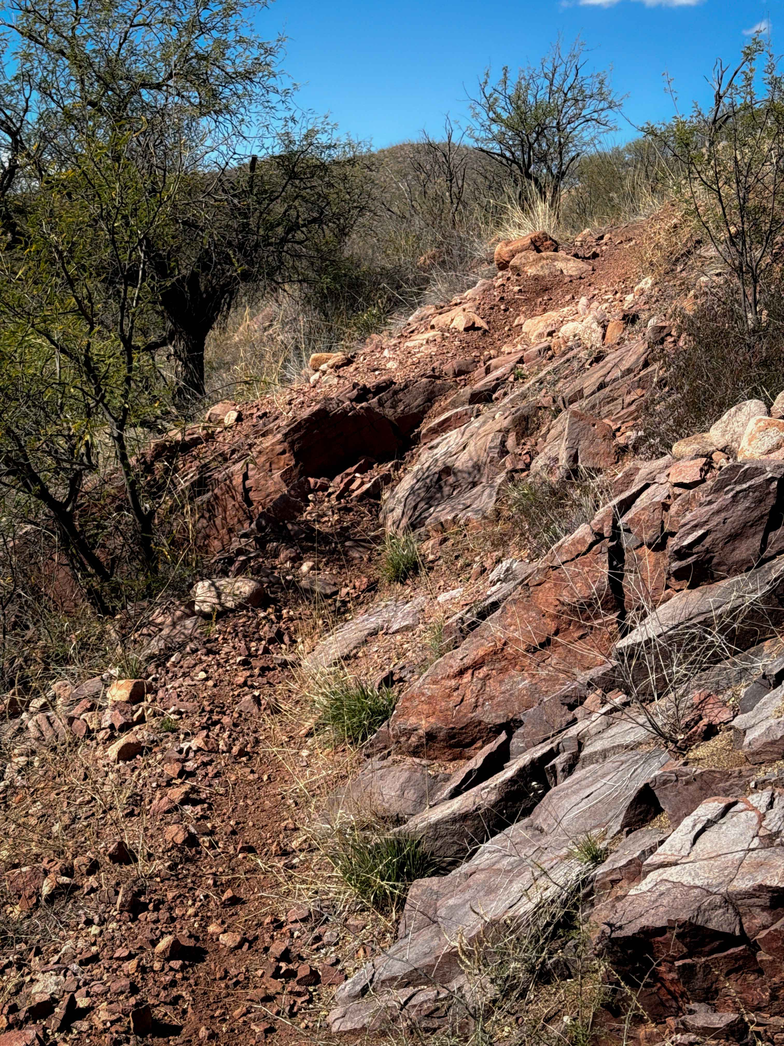
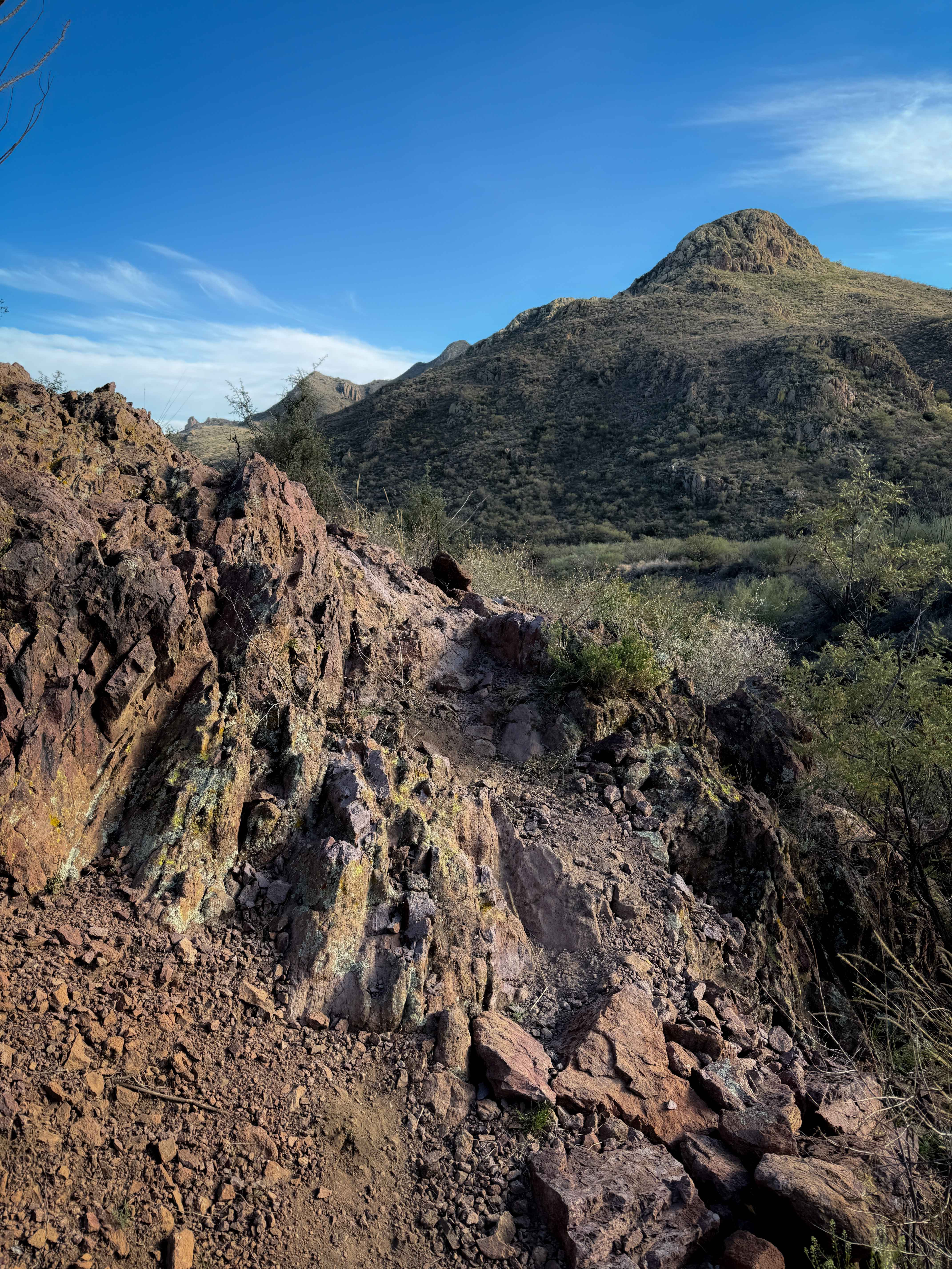
Off-Road Trails in Arizona
Discover off-road trails in Arizona
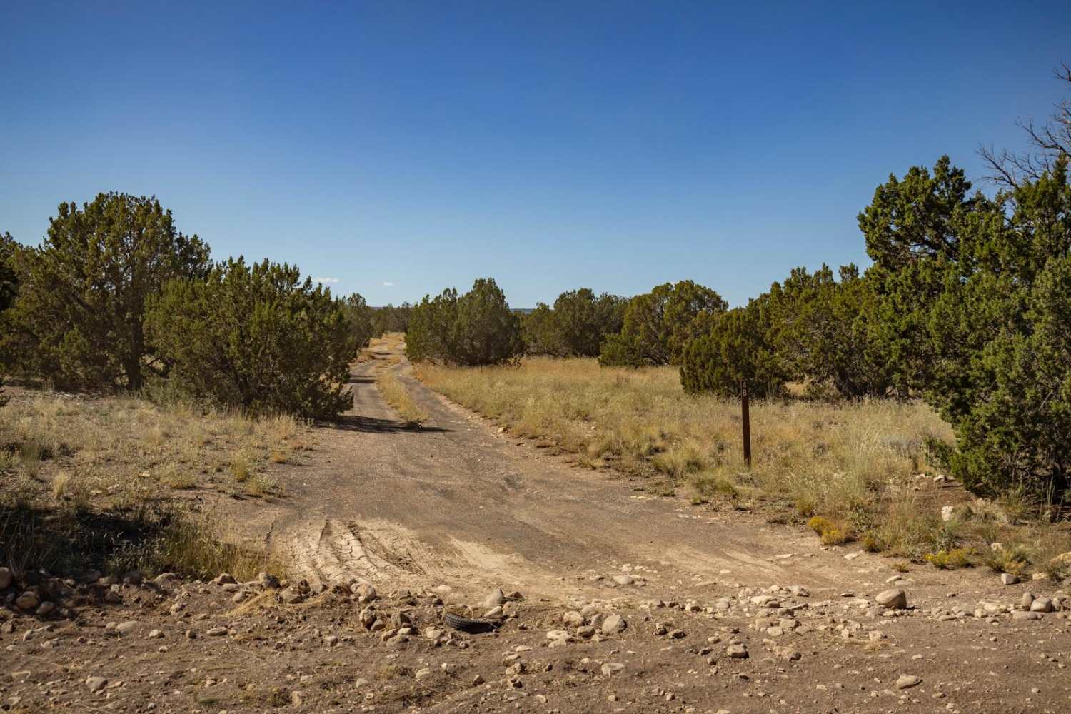
Learn more about 461/Jacob Lake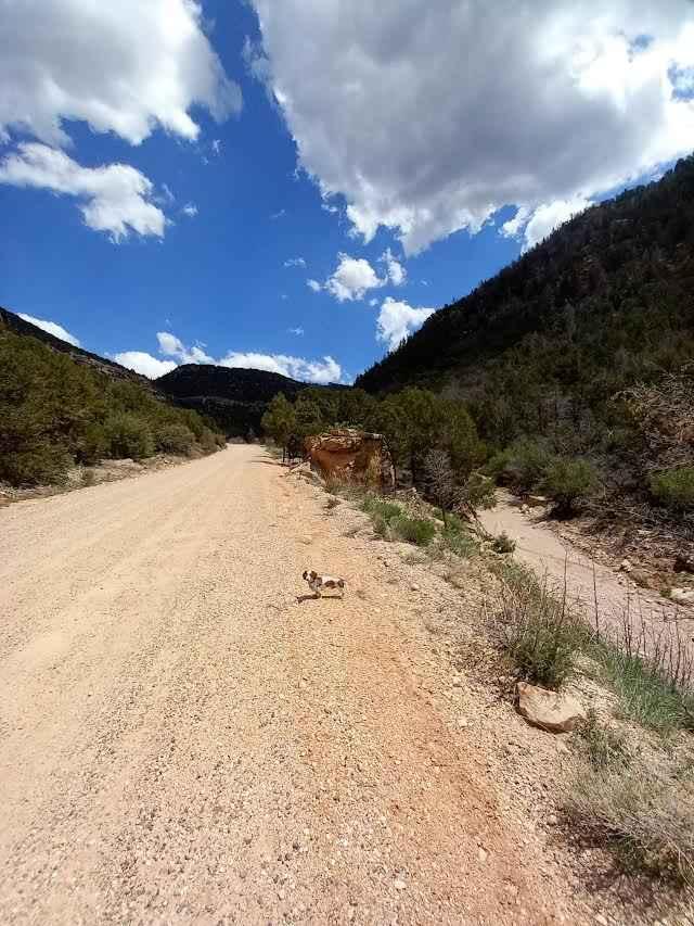
461/Jacob Lake
Total Miles
8.5
Tech Rating
Easy
Best Time
Spring, Summer, Fall

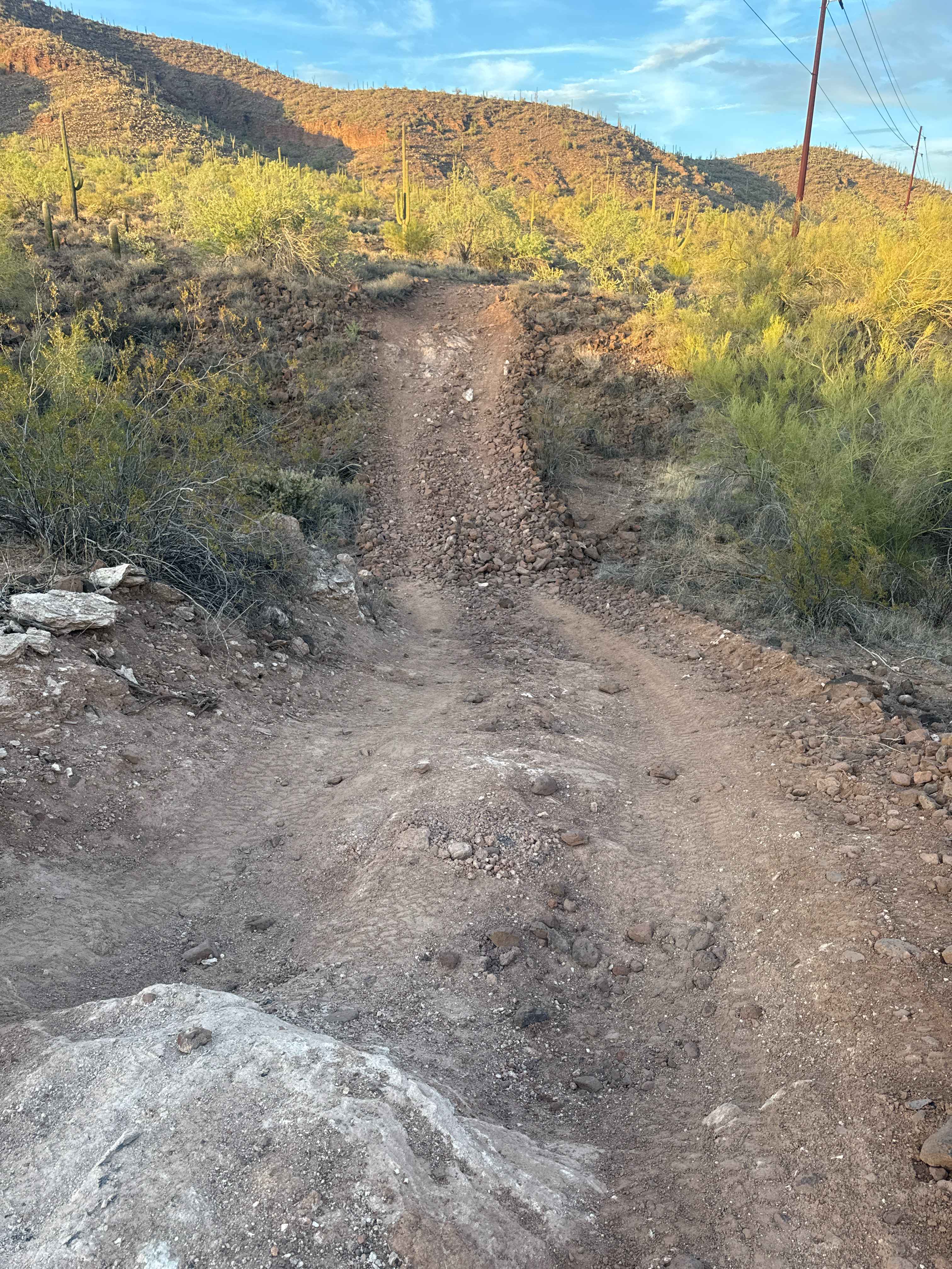

Learn more about 4Lo to Nowhere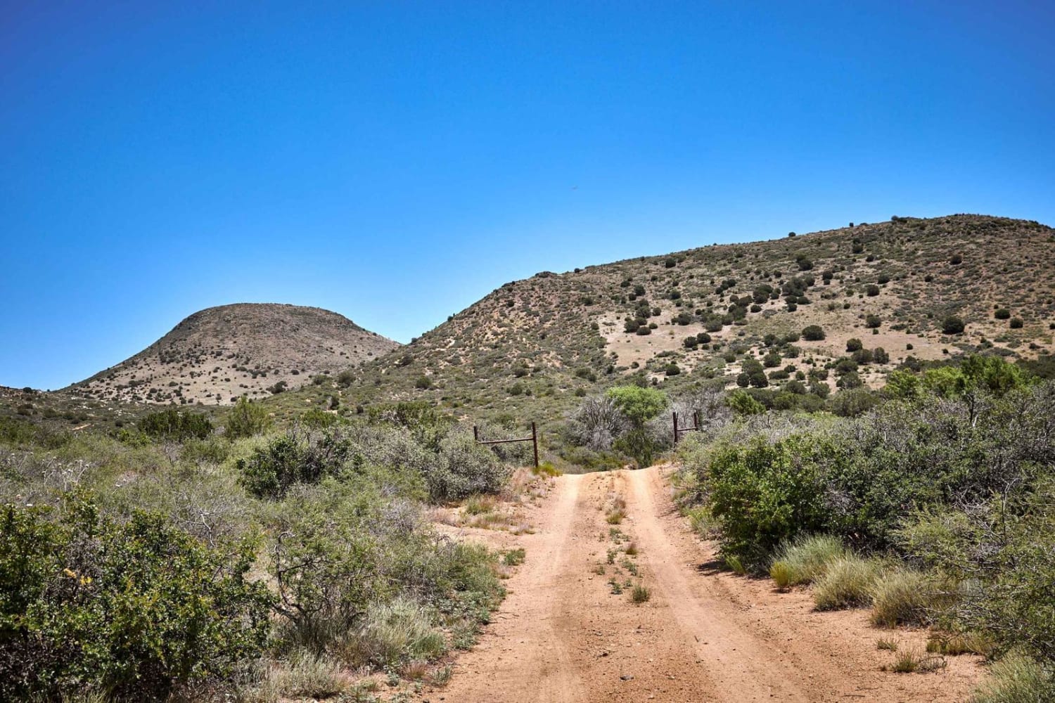
4Lo to Nowhere
Total Miles
3.2
Tech Rating
Moderate
Best Time
Spring, Summer, Fall
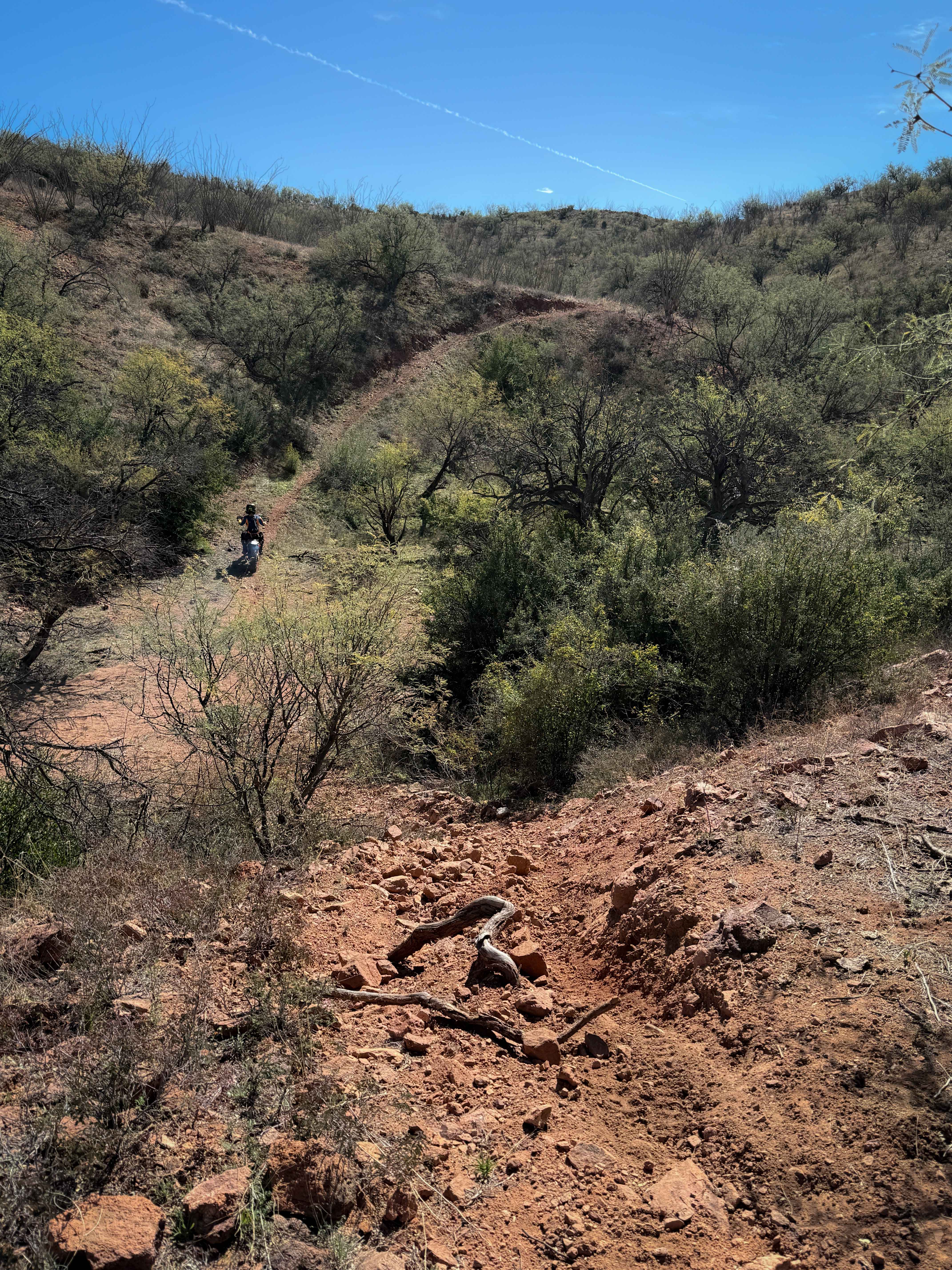
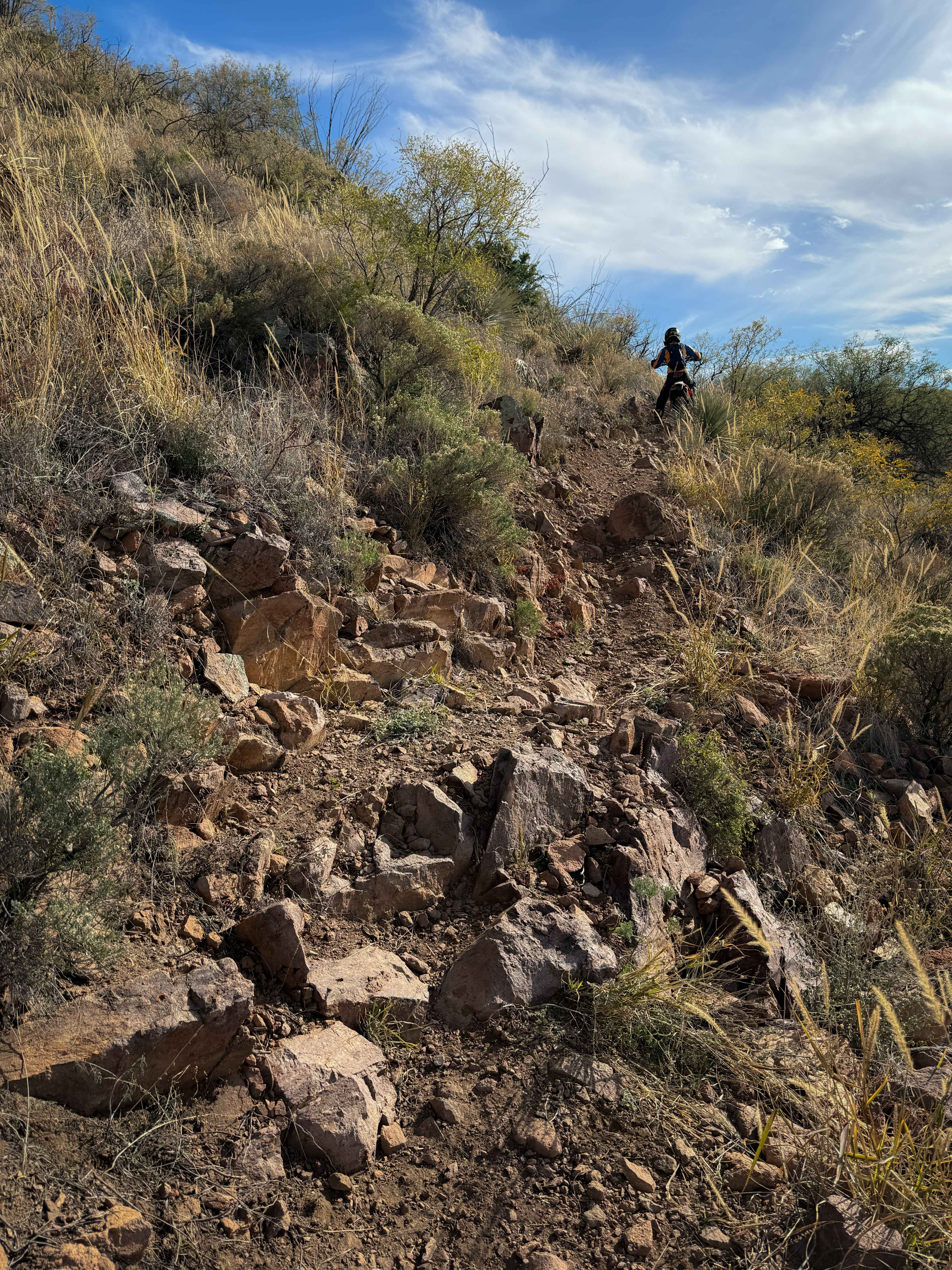
ATV trails in Arizona
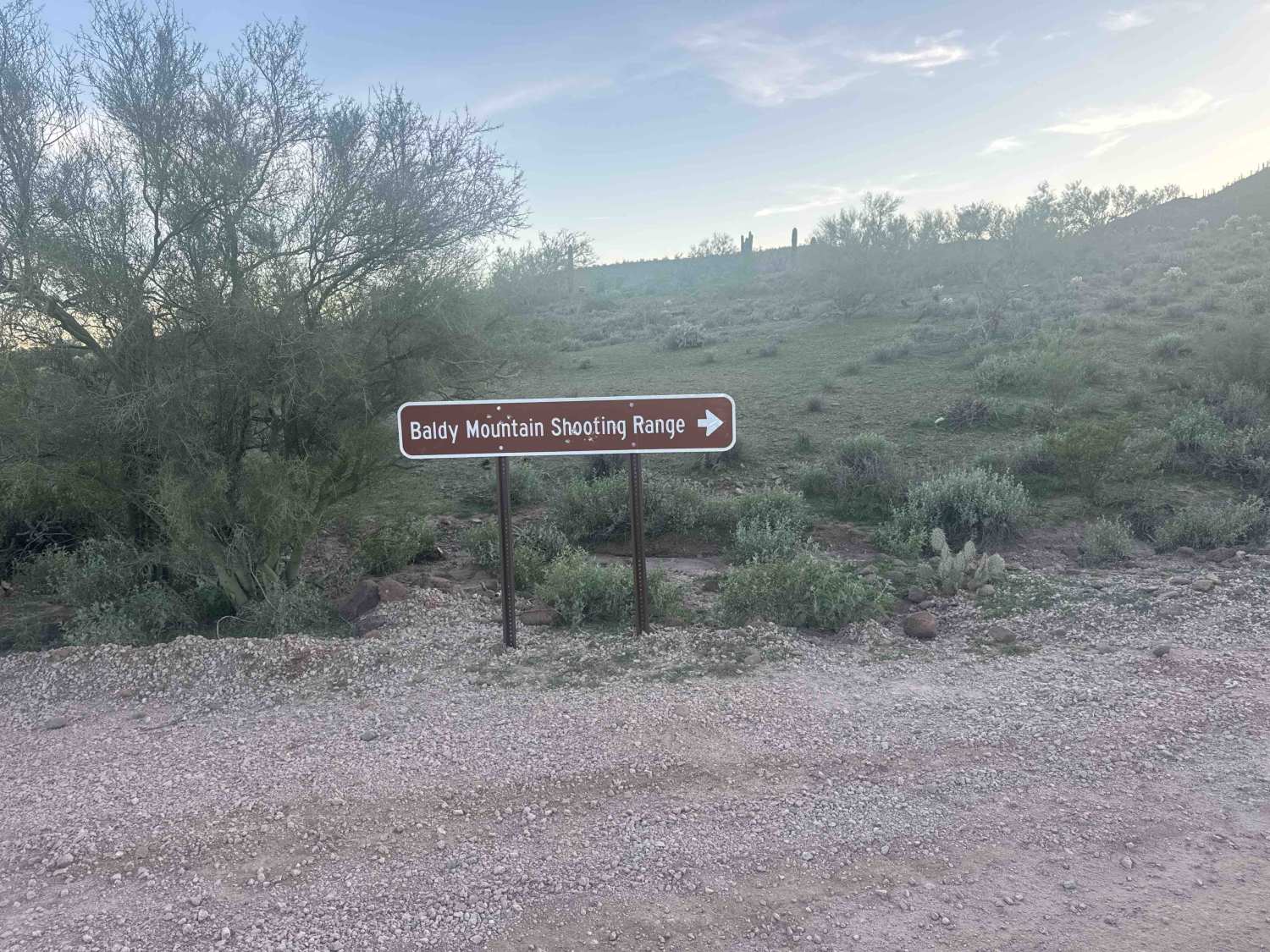
Learn more about Scrub Oak Bypass 
Scrub Oak Bypass
Total Miles
0.5
Tech Rating
Easy
Best Time
Spring, Summer, Fall


UTV/side-by-side trails in Arizona
Learn more about Scrub Oak Bypass
Scrub Oak Bypass
Total Miles
0.5
Tech Rating
Easy
Best Time
Spring, Summer, Fall
The onX Offroad Difference
onX Offroad combines trail photos, descriptions, difficulty ratings, width restrictions, seasonality, and more in a user-friendly interface. Available on all devices, with offline access and full compatibility with CarPlay and Android Auto. Discover what you’re missing today!