484
Total Miles
2.7
Technical Rating
Best Time
Winter, Spring, Fall
Trail Type
Single Track
Accessible By
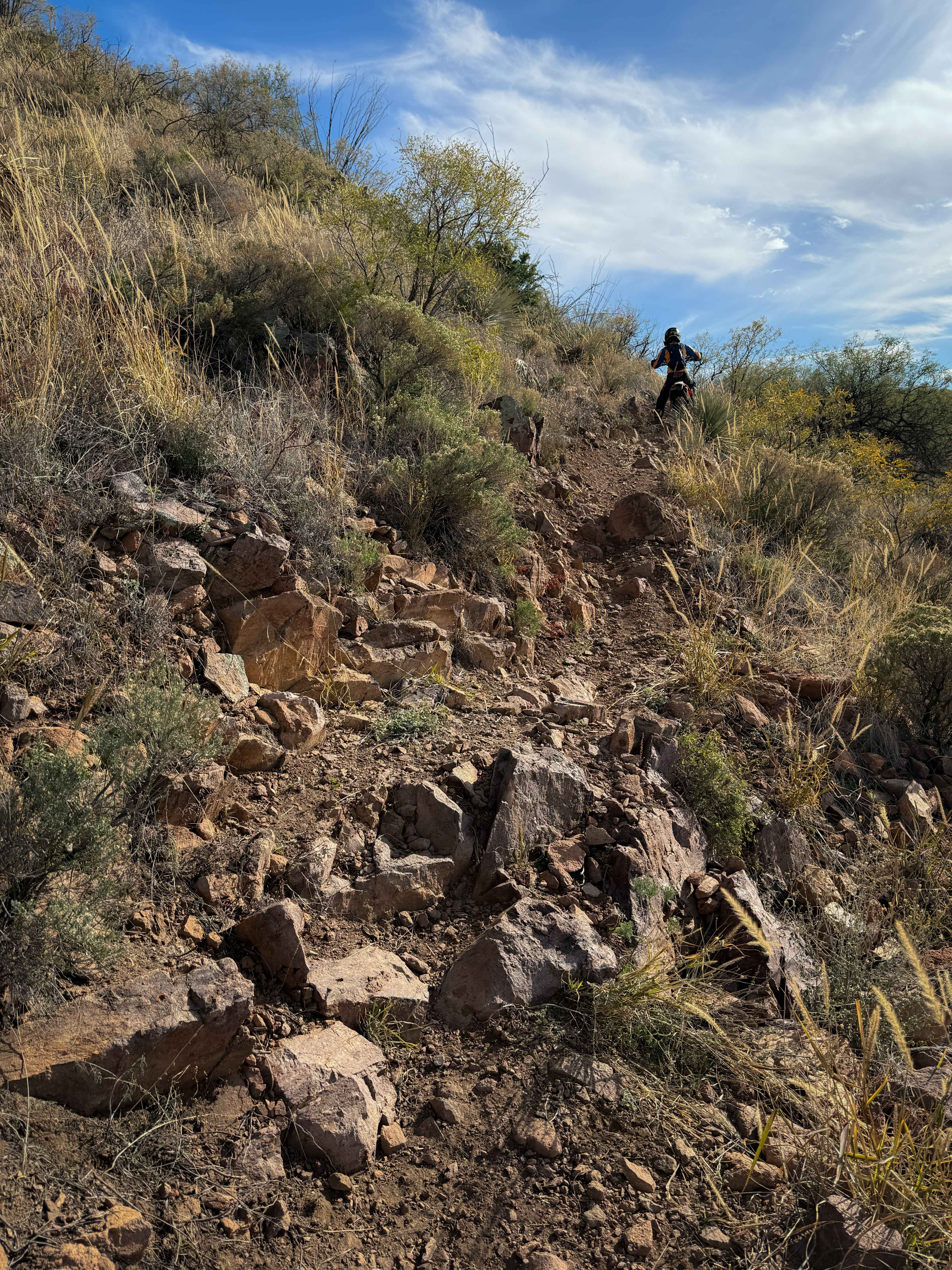
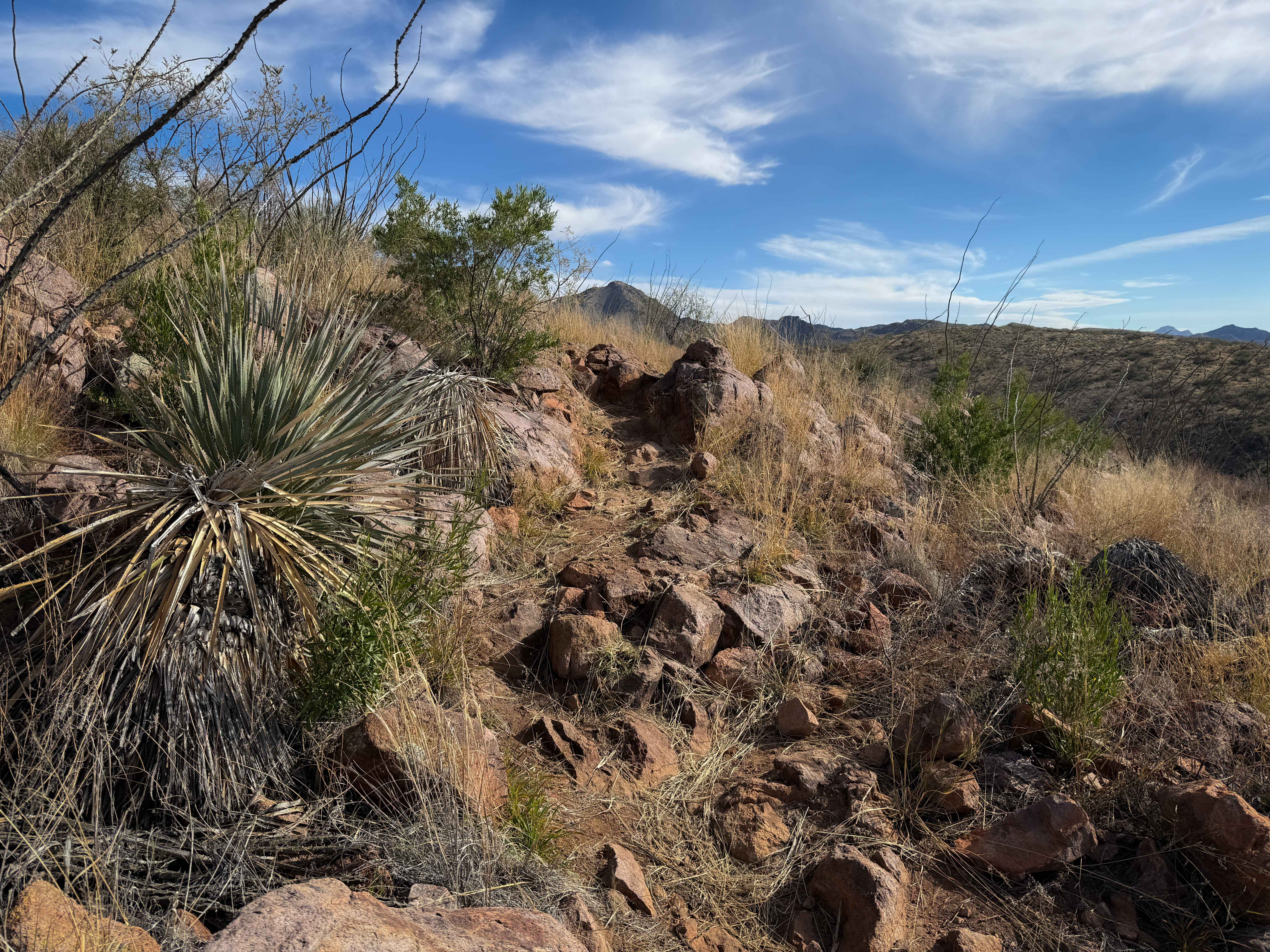
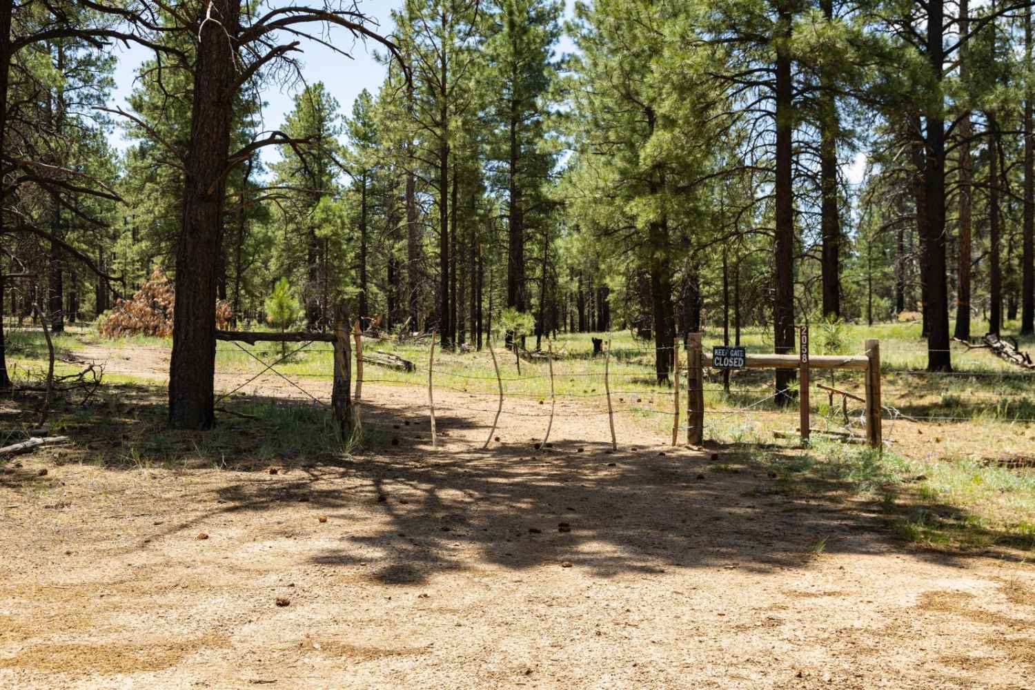
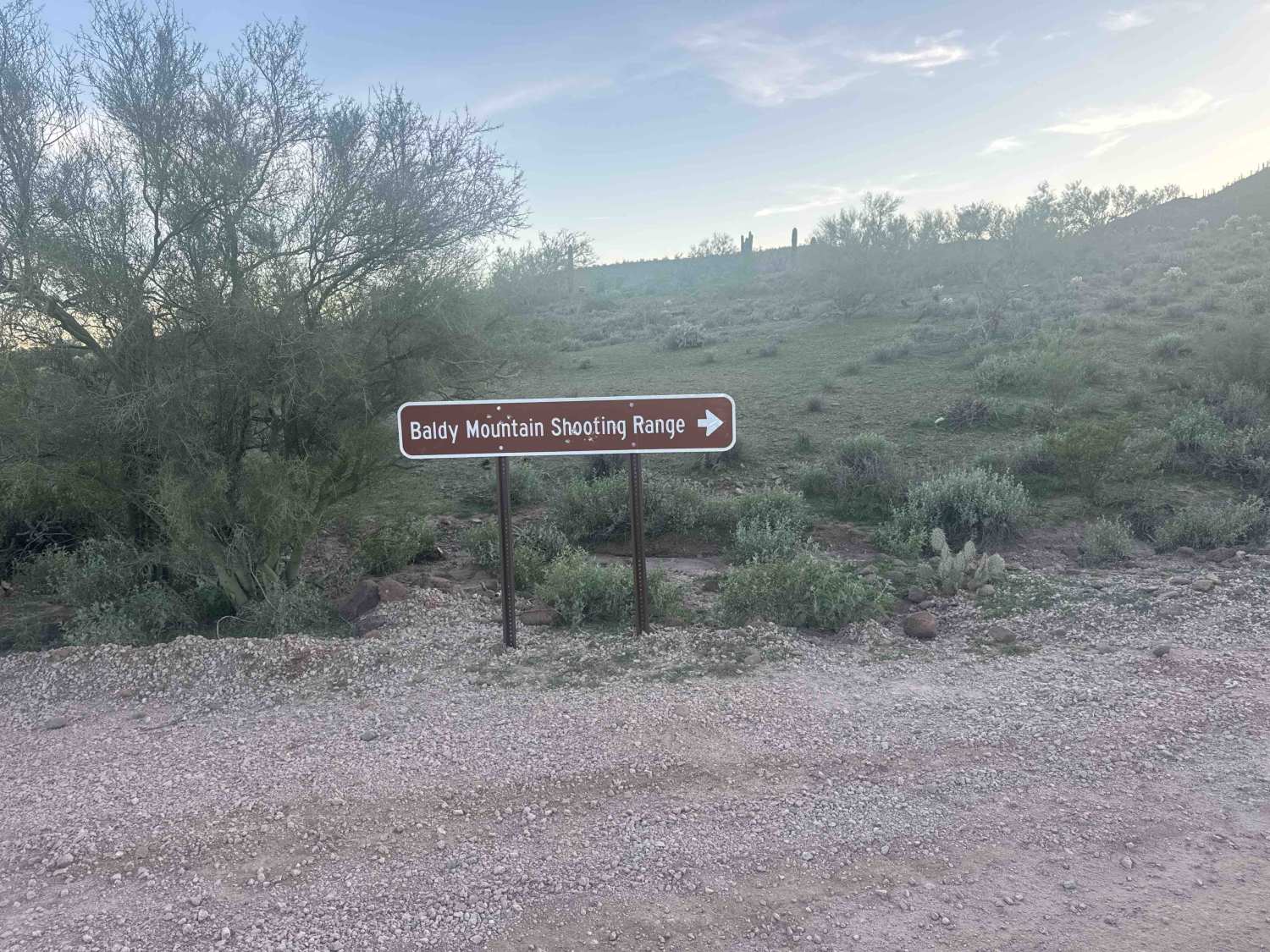
Trail Overview
This trail within the Red Spring Pass trail system is full of small loose rocks, steep climbs, and short rock ledges that make it more physically demanding to handle the bike through all the rocks for 2.6 miles. From the north entrance at the intersection with 483, the trail starts climbing up the next hillside, on a surface covered in baby head-sized rocks that ping you around. The trail winds around the hilltop between the mesquite trees and ocotillo, with views out over the rolling hills. The trail turns south after the intersection with 484A, a short spur that takes you over to 486. It gradually rides on the ridgeline of these rolling hills, riding over many embedded boulders that are moderate obstacles. Some of the obstacles occur in narrower sections of the side-hilling trail, making them more difficult. They are not overly difficult as the terrain remains mostly flat or very gradual, but the relentless rocks are tiring. The trail rides past some fantastic scenery, overlooking rocky outcroppings and Sardina Peak to the south. Some of the barrel cacti may be blooming in the winter and spring. There are some faint sections of trail where the grass is overgrown, hiding the embedded rocks beneath the grass, which adds to the difficulty. Overall, this trail is just very chunky and bony.
Photos of 484
Difficulty
This trail is moderate difficulty due to a constant loose rocky surface that is physically demanding and technically difficult, as well as larger embedded rock obstacles. This trail is more ideal for intermediate experienced riders as the rocks are relentless throughout the entire 2.6-mile route.
Status Reports
484 can be accessed by the following ride types:
- Dirt Bike
484 Map
Popular Trails
Willow Springs OHV trail
Hardy's Downhill
The onX Offroad Difference
onX Offroad combines trail photos, descriptions, difficulty ratings, width restrictions, seasonality, and more in a user-friendly interface. Available on all devices, with offline access and full compatibility with CarPlay and Android Auto. Discover what you’re missing today!