482A
Total Miles
1.4
Technical Rating
Best Time
Winter, Spring, Fall
Trail Type
Single Track
Accessible By
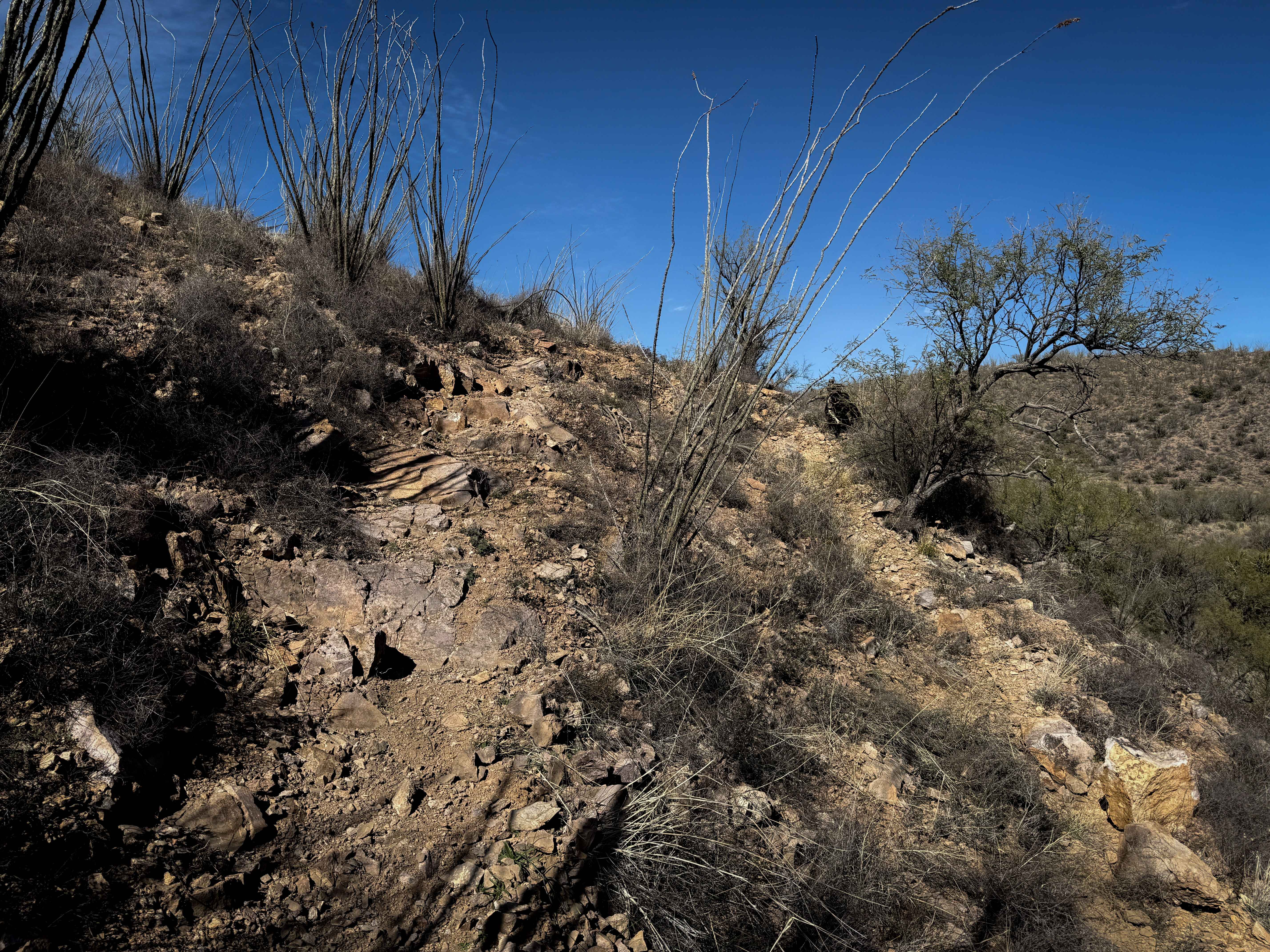
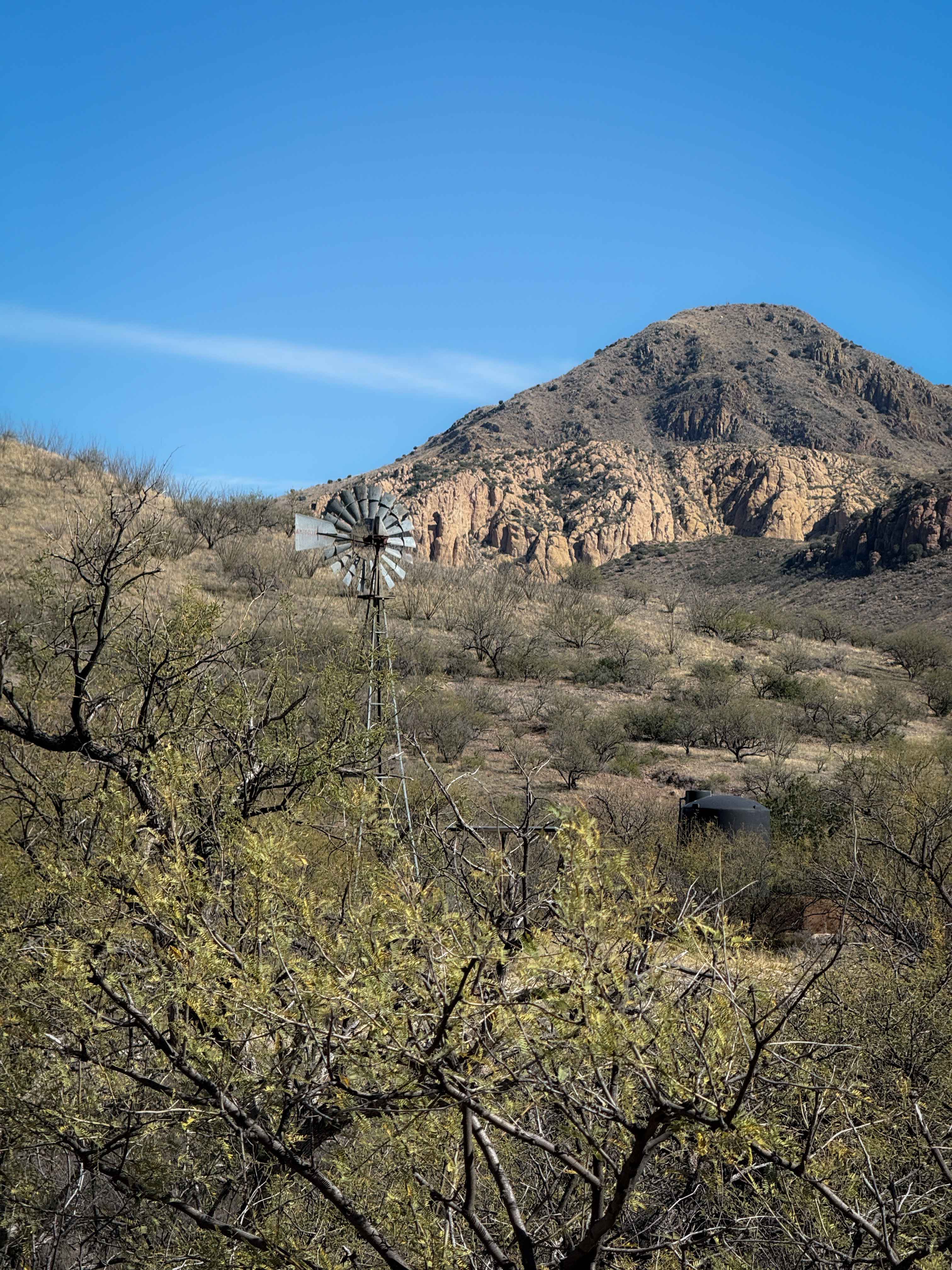
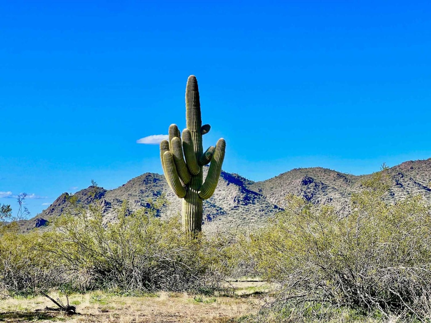
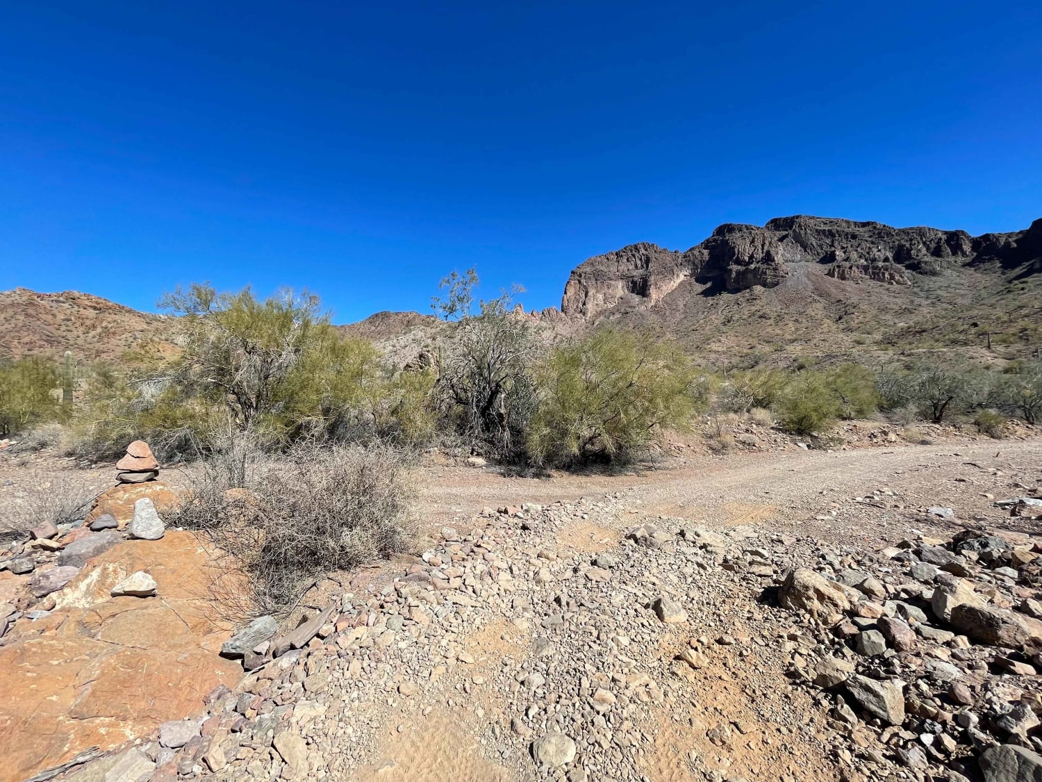
Trail Overview
This is a short spur off of the longer 482 single track that takes an alternate route back to Sardina Road (684). The trail has a mix of flowy singletrack through the flat desert terrain, through mesquite trees over the rolling hilltops, and more rugged rocky sections. It dips down into a ravine at the base of the hills, paralleling a wash, weaving in and out of the ravine with some tighter turns. This section has more shade and some bigger trees compared to when on the hilltops. The trail becomes pretty rocky at times, with big embedded rock surfaces and lots of loose baby heads. There is a particularly rocky climb up a hillside that has several short rock ledges in a row, mixed in with loose dirt, making it a decent obstacle for most intermediate riders.
Photos of 482A
Difficulty
Most of this trail is moderately easy, with a mix of flowy and loose rock, but there is a particularly more challenging climb with several short rock ledges, which makes it more moderate overall. Expect constant tight turns and loose rocky terrain throughout the 1.4-mile route.
Status Reports
482A can be accessed by the following ride types:
- Dirt Bike
482A Map
Popular Trails
Brahma Tank Pass
Hunt Tank Shortcut
Michell Mine Road to Western Edge Trail
The onX Offroad Difference
onX Offroad combines trail photos, descriptions, difficulty ratings, width restrictions, seasonality, and more in a user-friendly interface. Available on all devices, with offline access and full compatibility with CarPlay and Android Auto. Discover what you’re missing today!