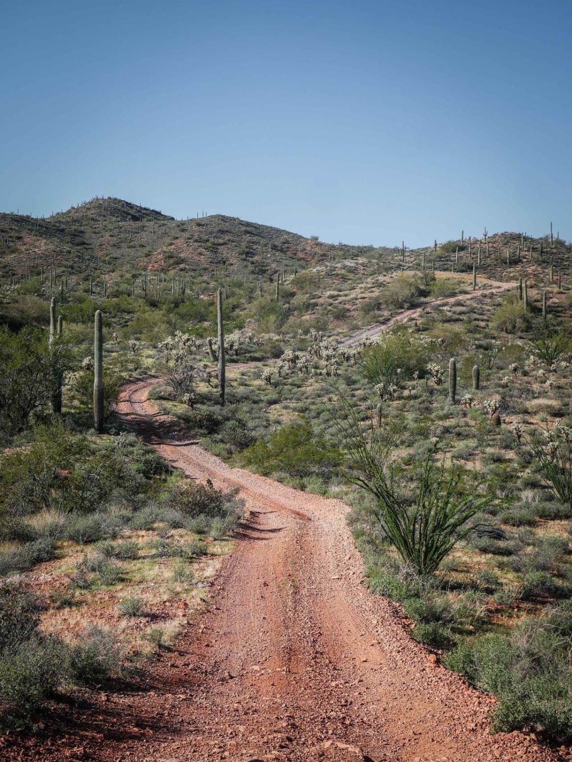
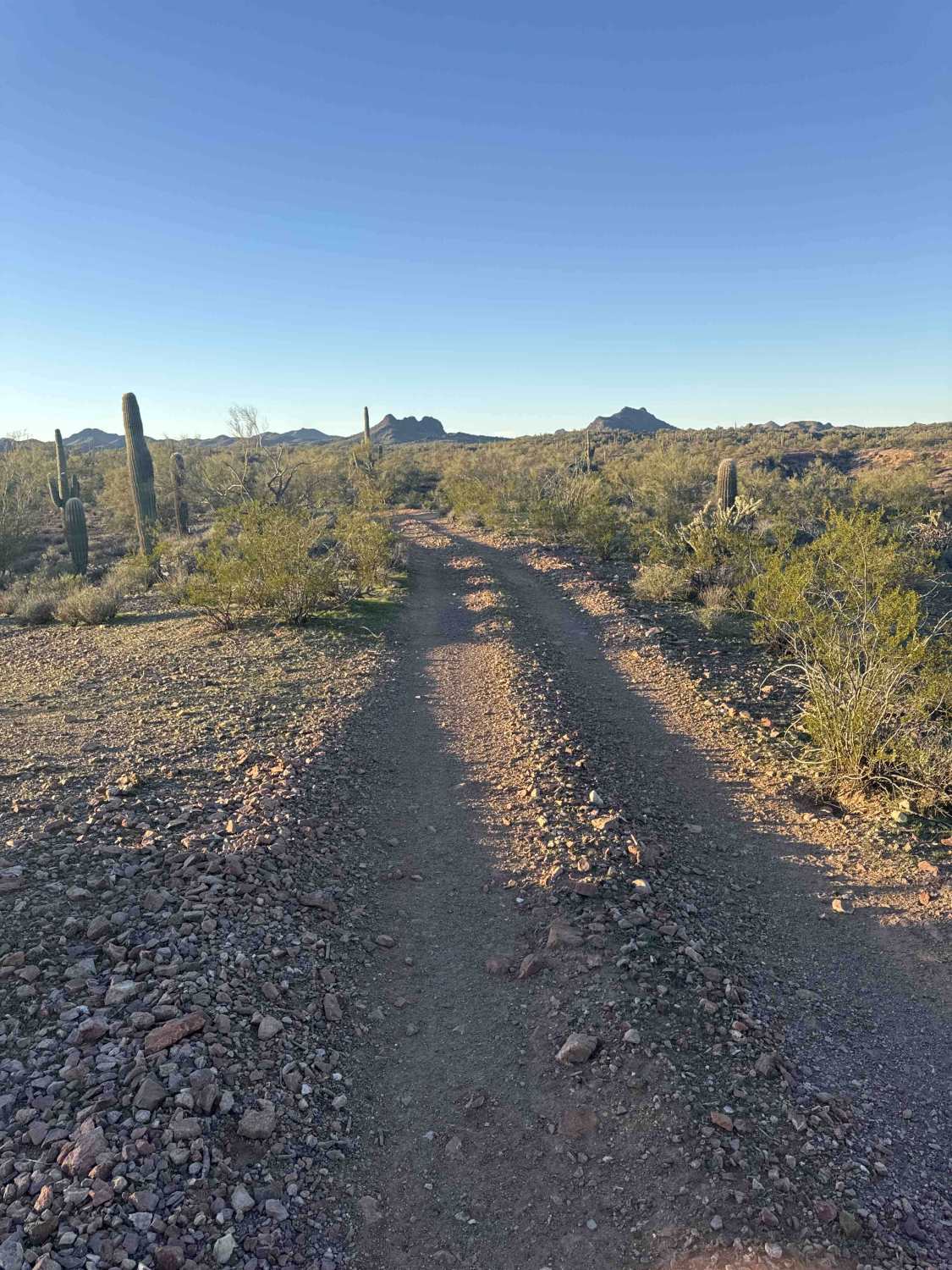
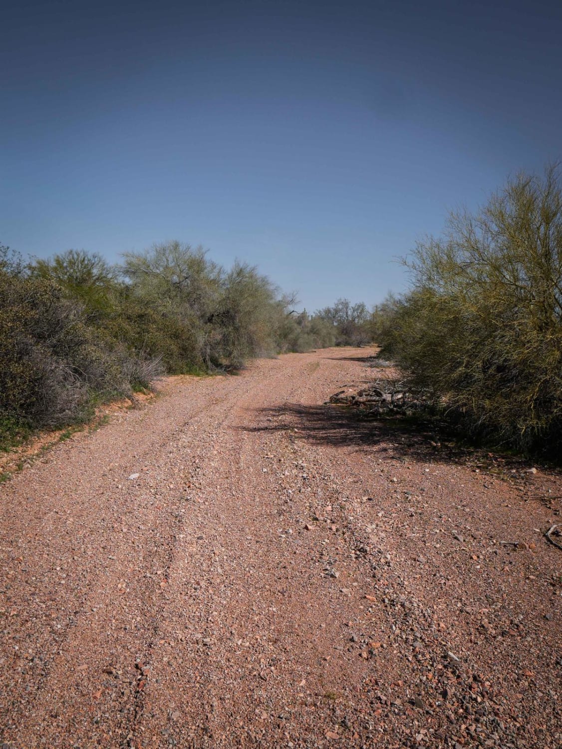
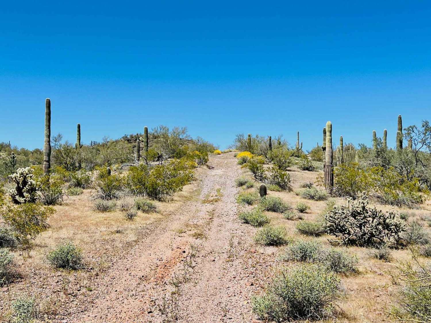
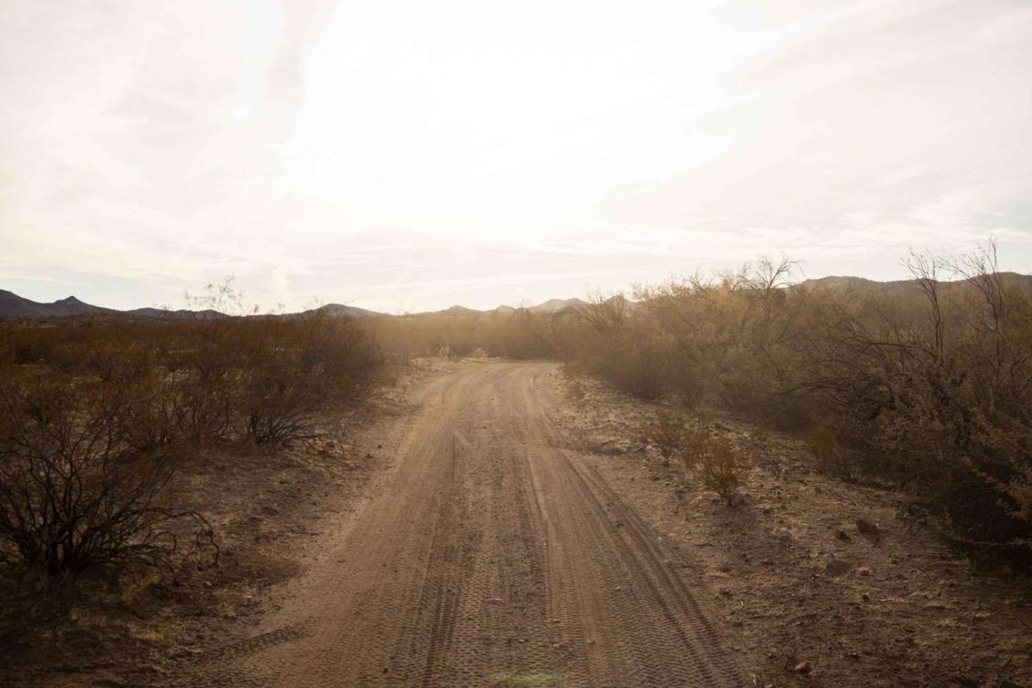
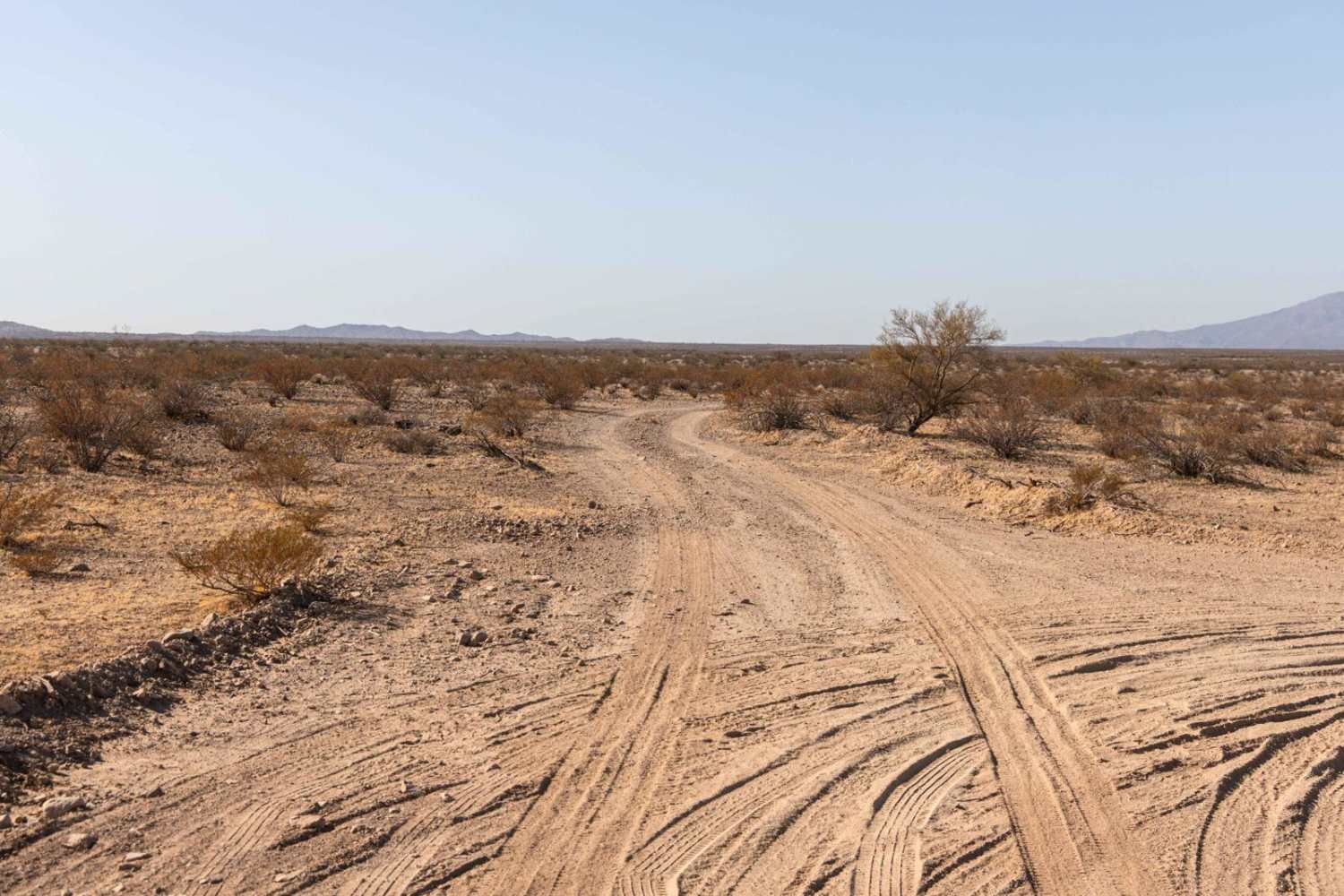
Off-Road Trails in Arizona
Discover off-road trails in Arizona
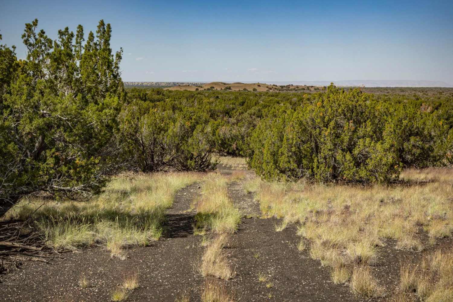
Learn more about 9067 State Trust
9067 State Trust
Total Miles
2.5
Tech Rating
Easy
Best Time
Spring, Fall, Winter
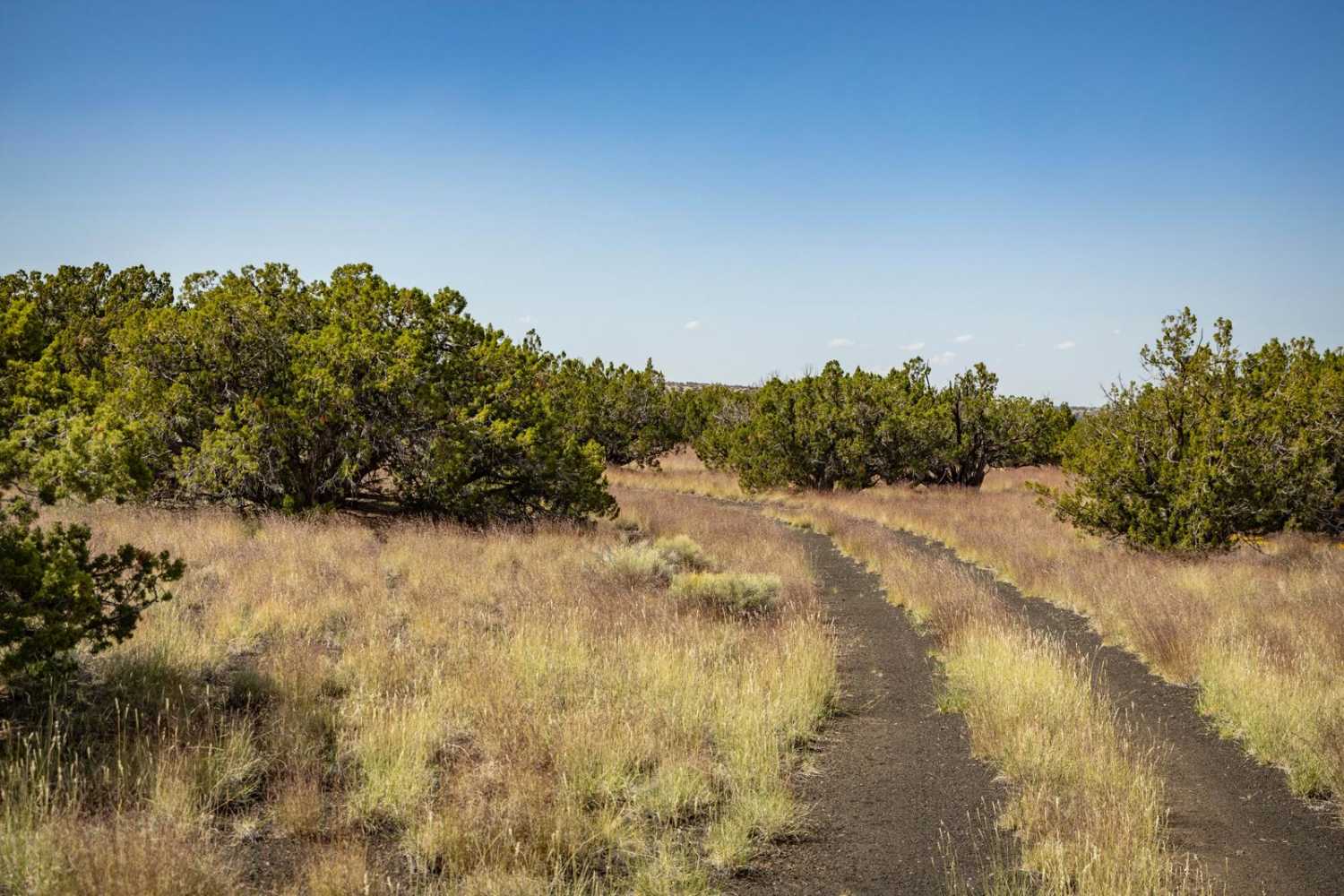
Learn more about 9079 Touching STL
9079 Touching STL
Total Miles
1.3
Tech Rating
Easy
Best Time
Spring, Fall, Winter
Learn more about 9089 OHV Whoops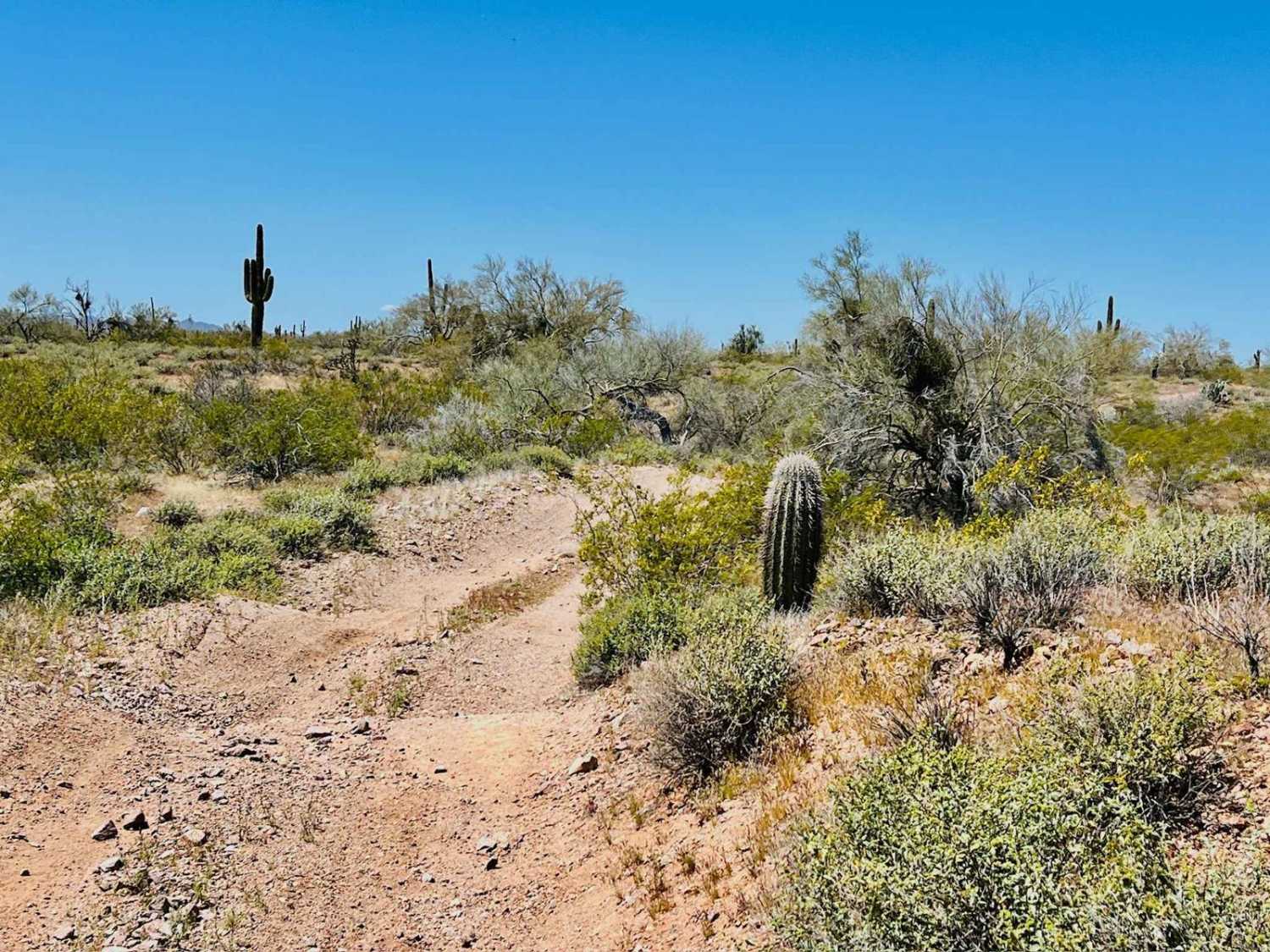
9089 OHV Whoops
Total Miles
3.6
Tech Rating
Easy
Best Time
Spring, Fall, Winter
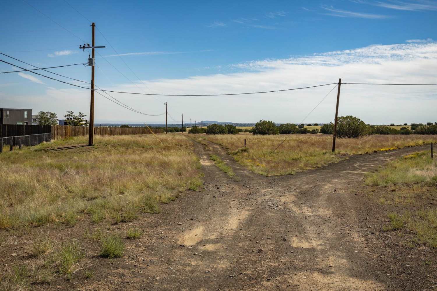
Learn more about 9093b Wash Bypass
9093b Wash Bypass
Total Miles
1.6
Tech Rating
Easy
Best Time
Spring, Fall, Winter
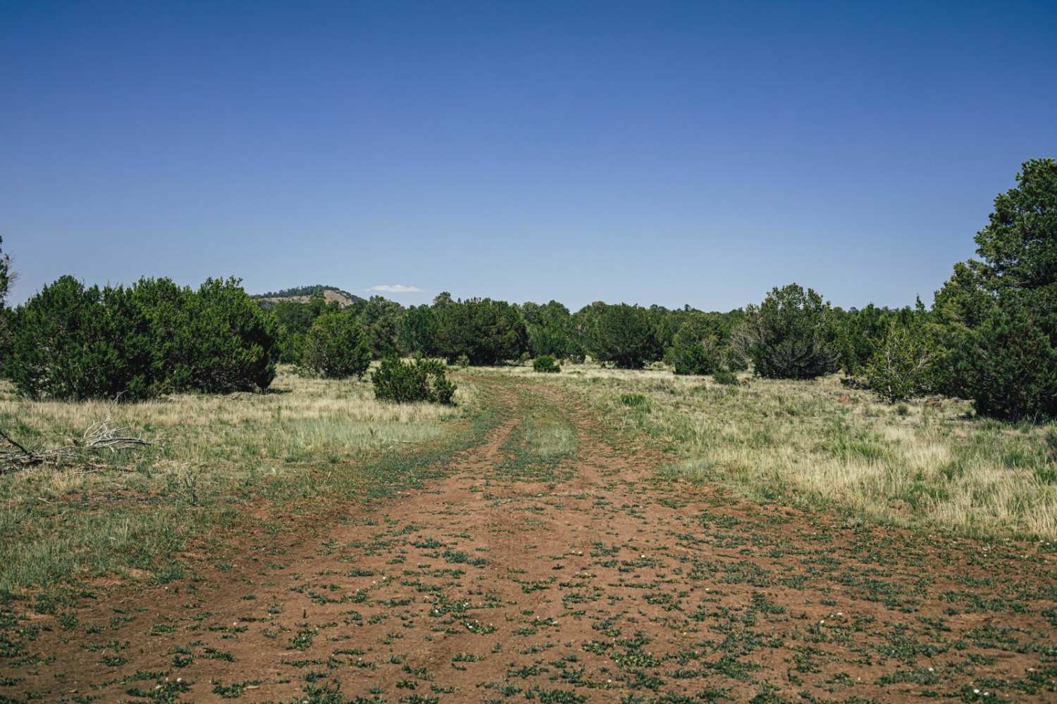
Learn more about 9110 Main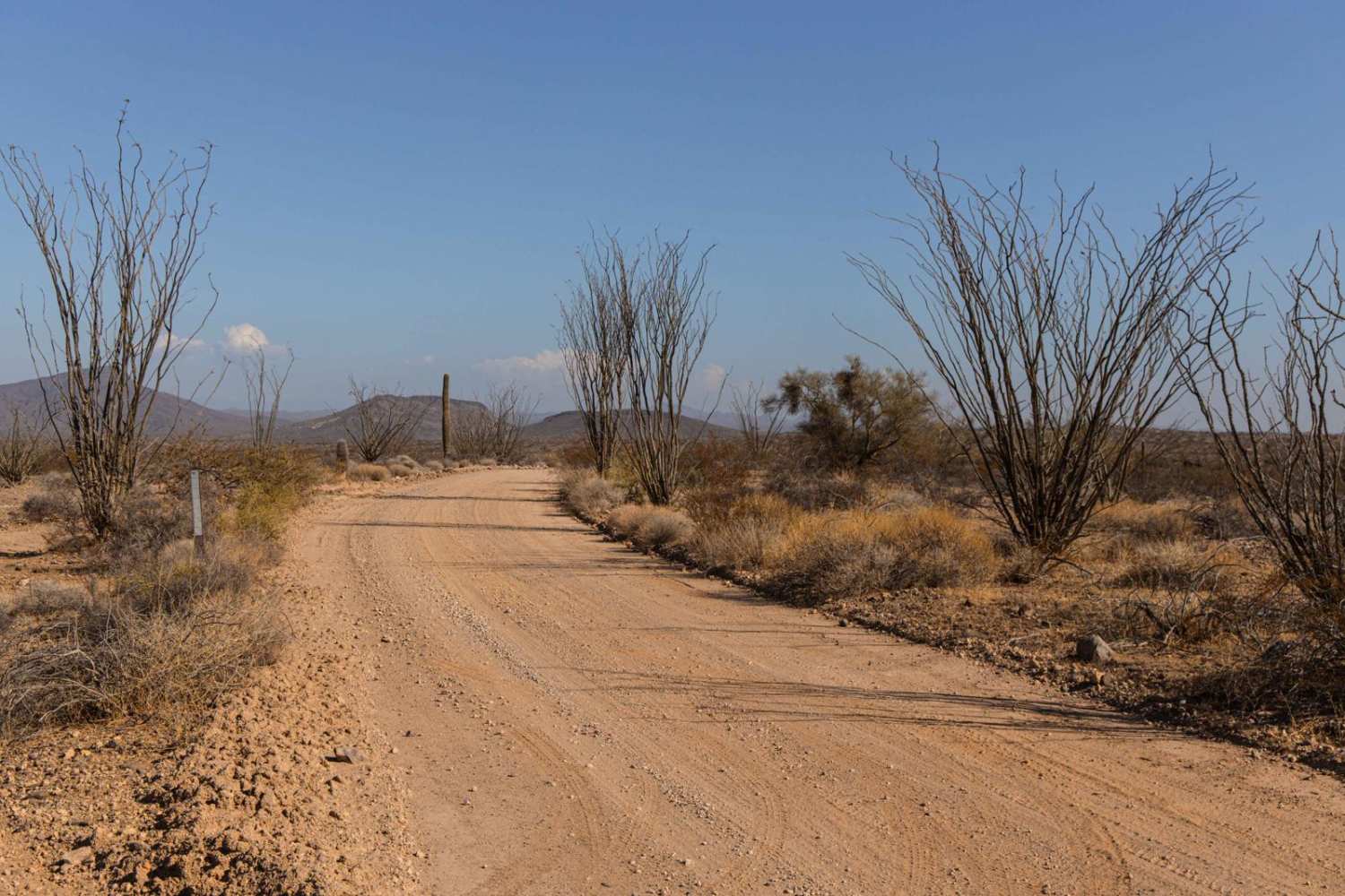
9110 Main
Total Miles
7.7
Tech Rating
Easy
Best Time
Spring, Summer, Fall, Winter
Learn more about 9113B Option
9113B Option
Total Miles
2.8
Tech Rating
Easy
Best Time
Summer, Spring, Fall, Winter
ATV trails in Arizona
Learn more about Scrub Oak Bypass 
Scrub Oak Bypass
Total Miles
0.5
Tech Rating
Easy
Best Time
Spring, Summer, Fall


UTV/side-by-side trails in Arizona
Learn more about Scrub Oak Bypass
Scrub Oak Bypass
Total Miles
0.5
Tech Rating
Easy
Best Time
Spring, Summer, Fall
The onX Offroad Difference
onX Offroad combines trail photos, descriptions, difficulty ratings, width restrictions, seasonality, and more in a user-friendly interface. Available on all devices, with offline access and full compatibility with CarPlay and Android Auto. Discover what you’re missing today!