Off-Road Trails in Arizona
Discover off-road trails in Arizona
Learn more about Anniversary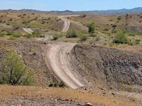
Anniversary
Total Miles
25.2
Tech Rating
Moderate
Best Time
Spring, Summer, Fall, Winter
Learn more about Another Powerline Road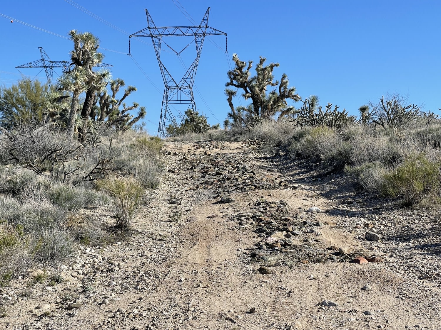
Another Powerline Road
Total Miles
1.6
Tech Rating
Easy
Best Time
Winter, Fall, Spring
Learn more about Another Powerline Road Too
Another Powerline Road Too
Total Miles
2.9
Tech Rating
Easy
Best Time
Spring, Fall, Winter, Summer
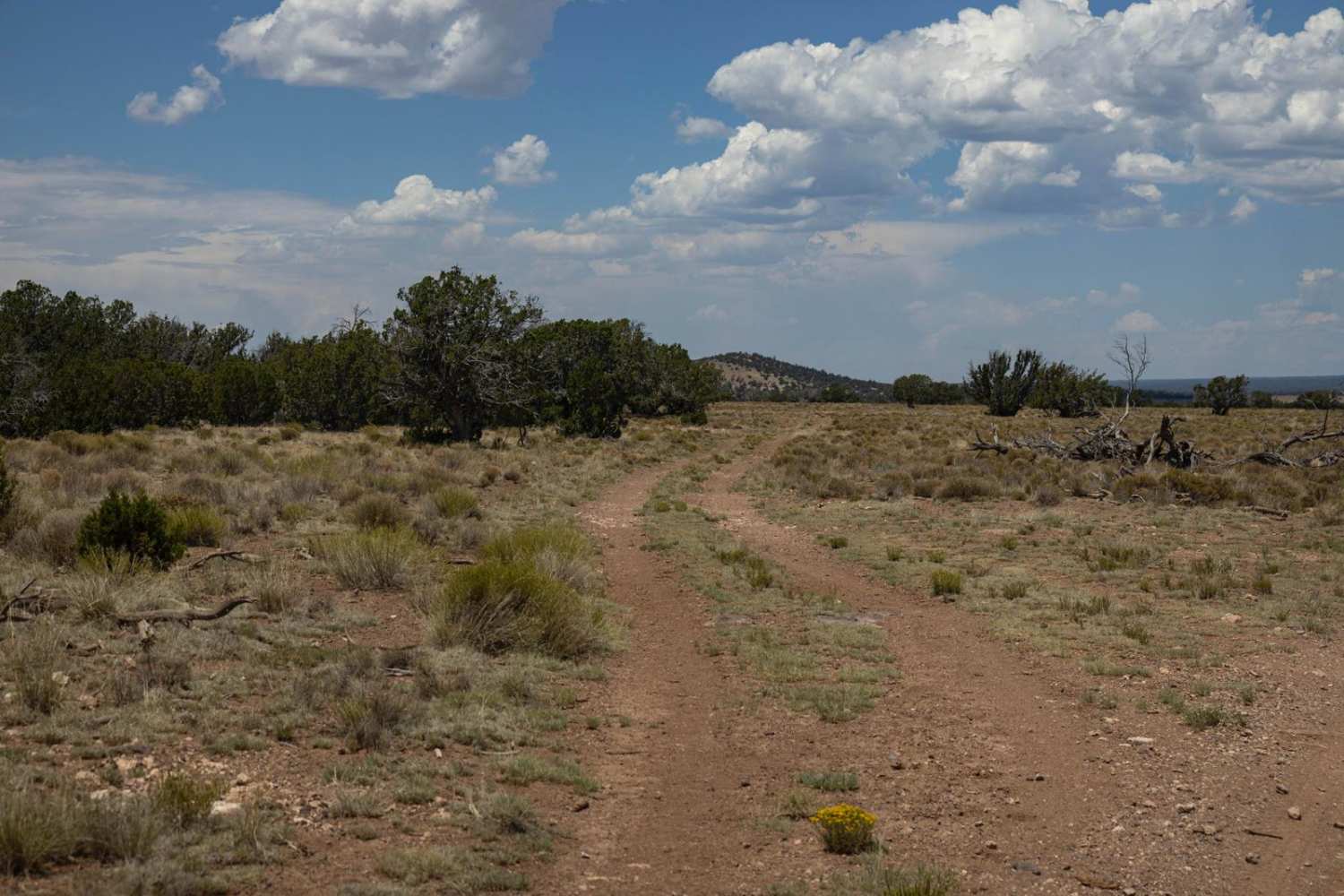
Learn more about Another Wash Trail BLM 9060
Another Wash Trail BLM 9060
Total Miles
2.7
Tech Rating
Moderate
Best Time
Spring, Fall, Winter
Learn more about Antares Road
Antares Road
Total Miles
31.6
Tech Rating
Easy
Best Time
Spring, Summer, Fall, Winter
Learn more about Antelope Alternate
Antelope Alternate
Total Miles
2.3
Tech Rating
Easy
Best Time
Spring, Summer, Fall, Winter
Learn more about Antelope Loop
Antelope Loop
Total Miles
5.7
Tech Rating
Easy
Best Time
Spring, Summer, Fall
Learn more about Antelope Shortcut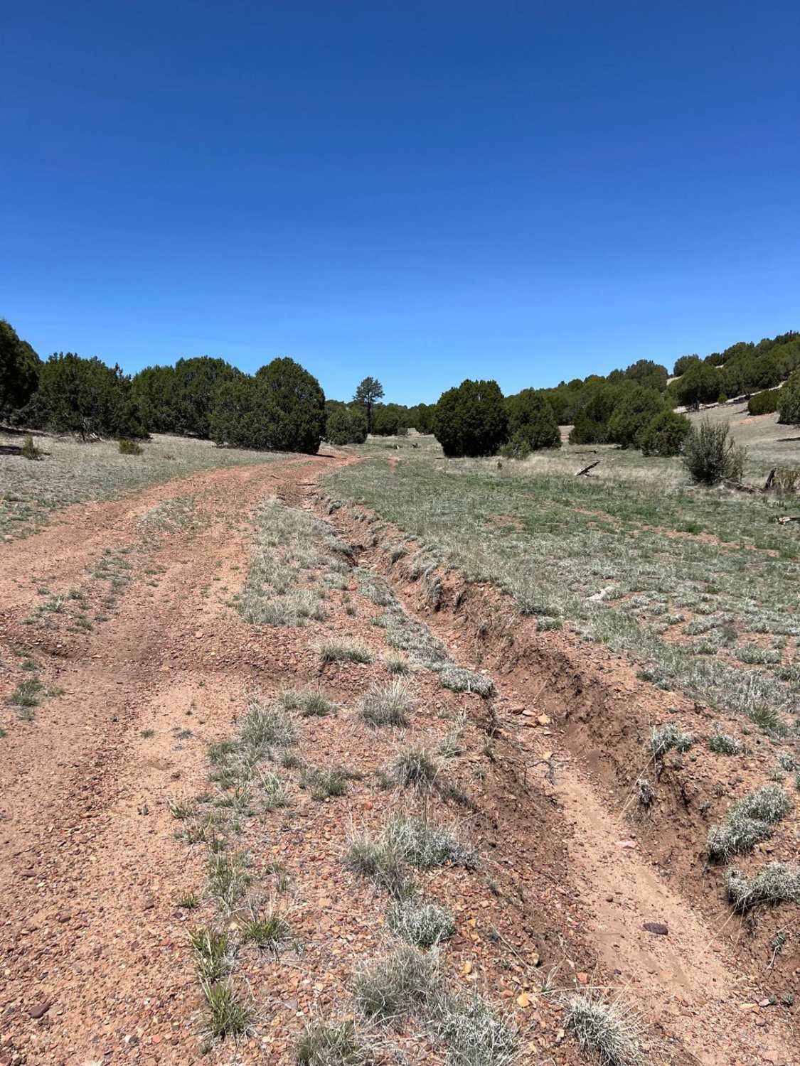
Antelope Shortcut
Total Miles
2.2
Tech Rating
Easy
Best Time
Spring, Summer, Fall
Learn more about Antelope Slots Overlook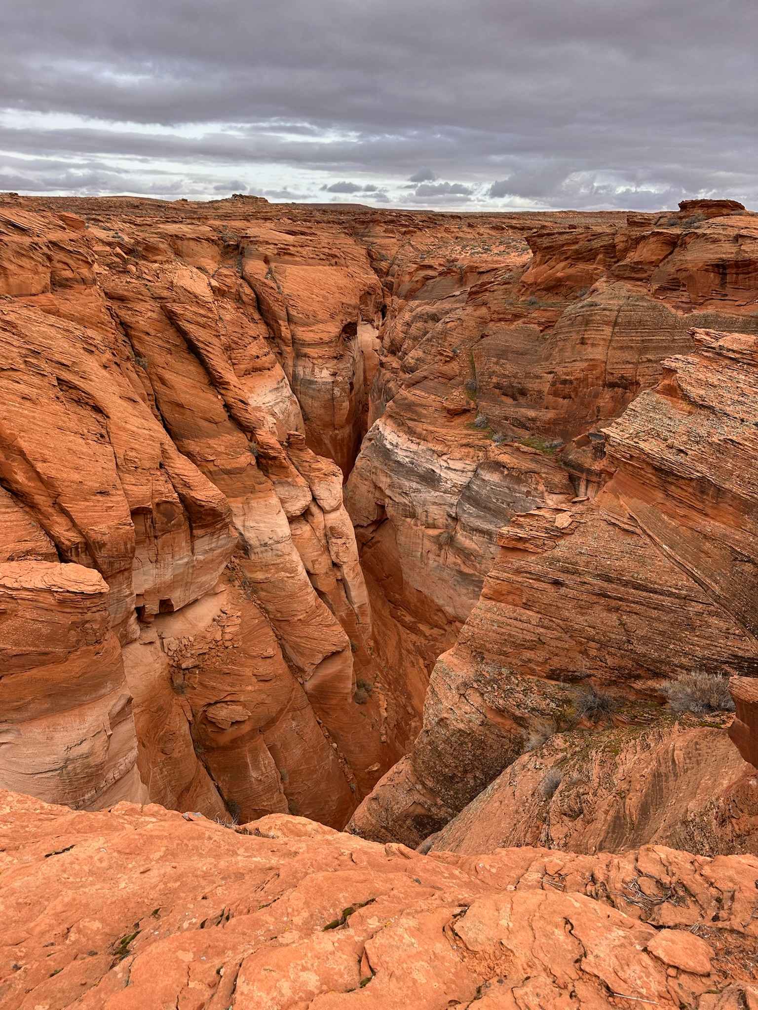
Antelope Slots Overlook
Total Miles
0.3
Tech Rating
Easy
Best Time
Spring, Fall
Learn more about Antelope Wash
Antelope Wash
Total Miles
3.2
Tech Rating
Easy
Best Time
Spring, Summer, Fall
Learn more about Antelope Wash Road
Antelope Wash Road
Total Miles
4.6
Tech Rating
Easy
Best Time
Spring, Summer, Fall, Winter
Learn more about Antelope-Honeymoon Trail Central
Antelope-Honeymoon Trail Central
Total Miles
4.5
Tech Rating
Easy
Best Time
Spring, Summer, Fall, Winter
Learn more about Antelope/Temple Trail (East)
Antelope/Temple Trail (East)
Total Miles
13.2
Tech Rating
Easy
Best Time
Spring, Summer, Fall
Learn more about Apache Maid Climb
Apache Maid Climb
Total Miles
3.7
Tech Rating
Easy
Best Time
Spring, Summer, Fall
Learn more about Apache Spring Trail
Apache Spring Trail
Total Miles
4.6
Tech Rating
Easy
Best Time
Fall, Spring, Winter
Learn more about Apache Tank 214
Apache Tank 214
Total Miles
4.6
Tech Rating
Easy
Best Time
Winter, Fall, Spring
Learn more about Apache Trail
Apache Trail
Total Miles
8.9
Tech Rating
Easy
Best Time
Winter, Fall, Summer, Spring
Learn more about Apache Trail to Apache Lake Marina
Apache Trail to Apache Lake Marina
Total Miles
8.4
Tech Rating
Easy
Best Time
Fall, Spring, Winter
ATV trails in Arizona
Learn more about Scrub Oak Bypass 
Scrub Oak Bypass
Total Miles
0.5
Tech Rating
Easy
Best Time
Spring, Summer, Fall


UTV/side-by-side trails in Arizona
Learn more about Scrub Oak Bypass
Scrub Oak Bypass
Total Miles
0.5
Tech Rating
Easy
Best Time
Spring, Summer, Fall
The onX Offroad Difference
onX Offroad combines trail photos, descriptions, difficulty ratings, width restrictions, seasonality, and more in a user-friendly interface. Available on all devices, with offline access and full compatibility with CarPlay and Android Auto. Discover what you’re missing today!