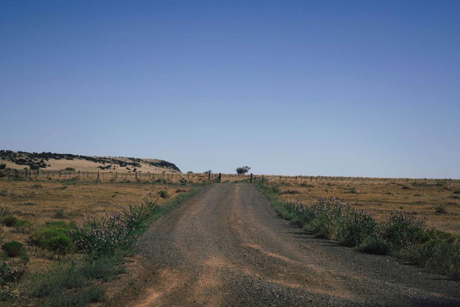
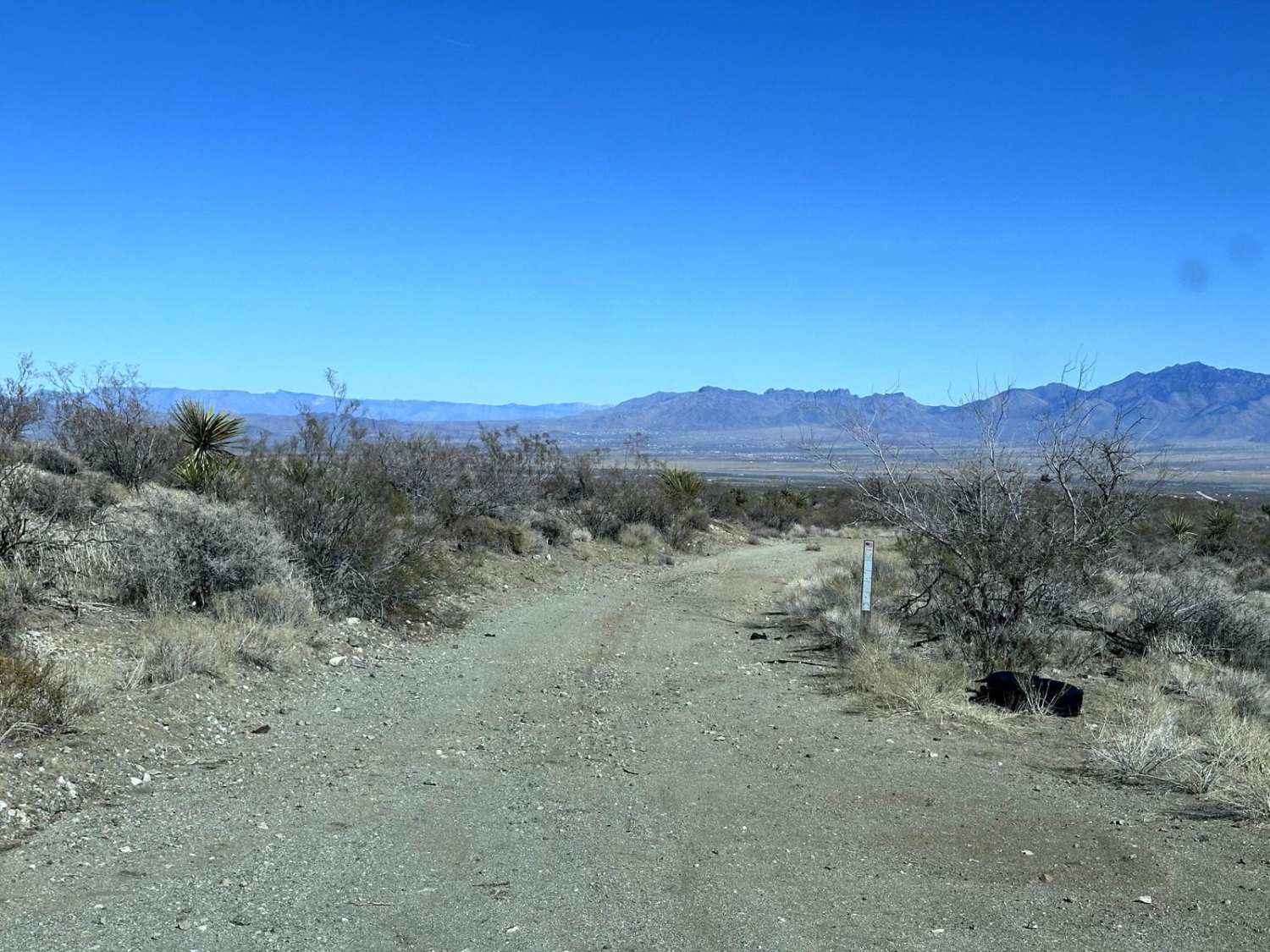
Off-Road Trails in Arizona
Discover off-road trails in Arizona
Learn more about AZPT Hovatter to Vicksburg Road
AZPT Hovatter to Vicksburg Road
Total Miles
7.3
Tech Rating
Easy
Best Time
Winter, Fall, Spring
Learn more about AZPT I-10 to Royal Arch Loop Trail
AZPT I-10 to Royal Arch Loop Trail
Total Miles
19.5
Tech Rating
Moderate
Best Time
Spring, Fall, Winter
Learn more about AZPT Laguna Ridge Hill Bypass
AZPT Laguna Ridge Hill Bypass
Total Miles
6.8
Tech Rating
Easy
Best Time
Spring, Fall, Winter
Learn more about AZPT Lava Rock Camp Trail
AZPT Lava Rock Camp Trail
Total Miles
1.5
Tech Rating
Moderate
Best Time
Spring, Fall, Winter
Learn more about AZPT Ligurta Spur to Abandoned Bus Stop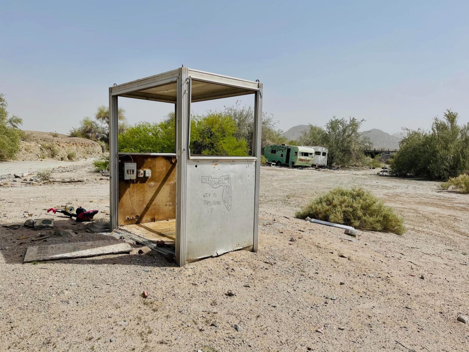
AZPT Ligurta Spur to Abandoned Bus Stop
Total Miles
7.1
Tech Rating
Easy
Best Time
Spring, Fall, Winter
Learn more about AZPT Main Canal to Martinez Lake Southern Section
AZPT Main Canal to Martinez Lake Southern Section
Total Miles
2.8
Tech Rating
Moderate
Best Time
Spring, Fall, Winter
Learn more about AZPT Middle Section 25 Quartzite to Boise
AZPT Middle Section 25 Quartzite to Boise
Total Miles
2.5
Tech Rating
Moderate
Best Time
Spring, Fall, Winter
Learn more about AZPT Mittry Lake Leg
AZPT Mittry Lake Leg
Total Miles
7.4
Tech Rating
Easy
Best Time
Spring, Fall, Winter
Learn more about AZPT Muggins Mountain to the Train Tracks 
AZPT Muggins Mountain to the Train Tracks
Total Miles
17.9
Tech Rating
Moderate
Best Time
Spring, Fall, Winter
Learn more about AZPT Preacher Pass Cutover Back to Main Trail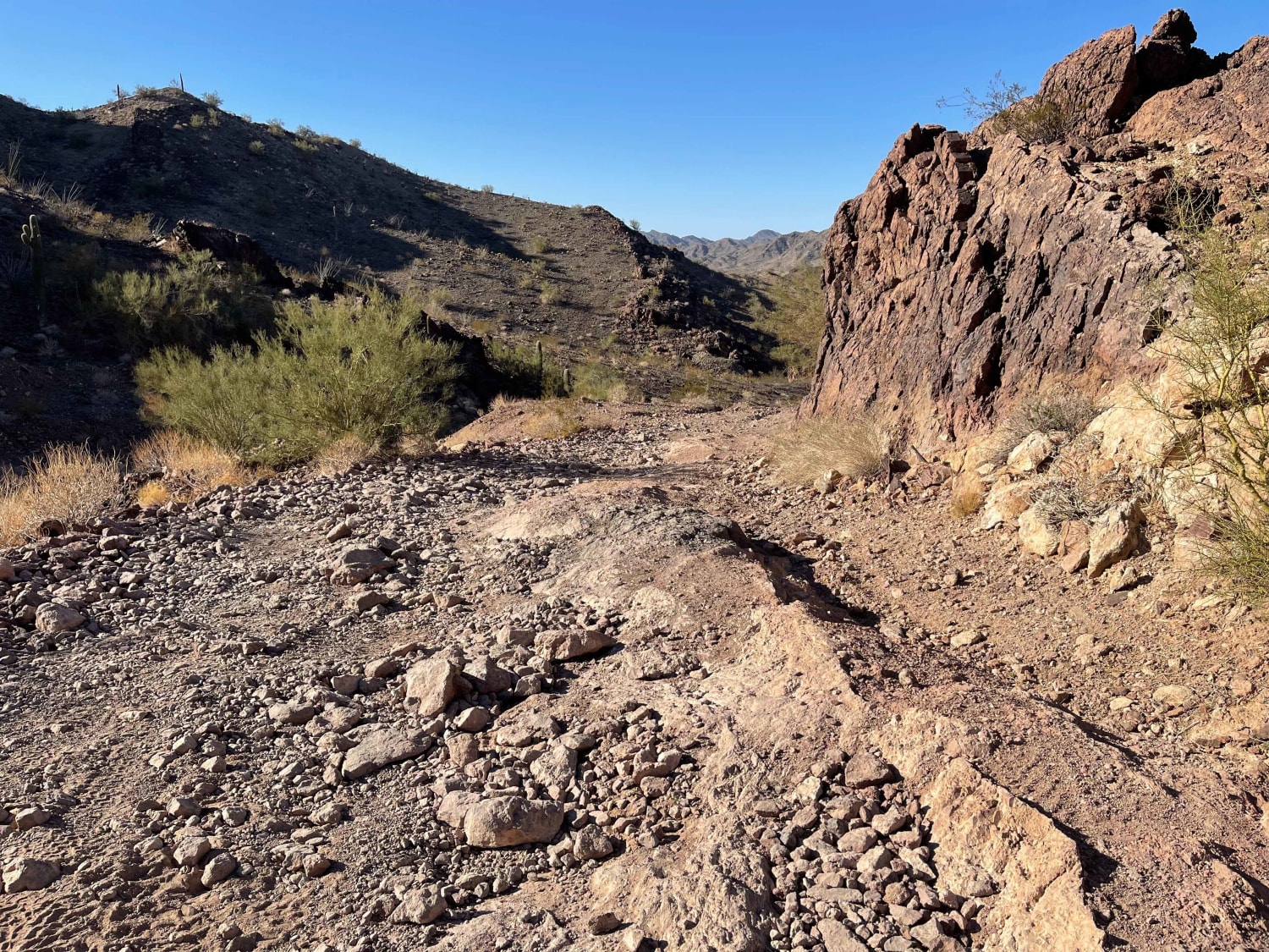
AZPT Preacher Pass Cutover Back to Main Trail
Total Miles
3.7
Tech Rating
Moderate
Best Time
Spring, Fall, Winter
Learn more about AZPT Red Raven to Chicken Foot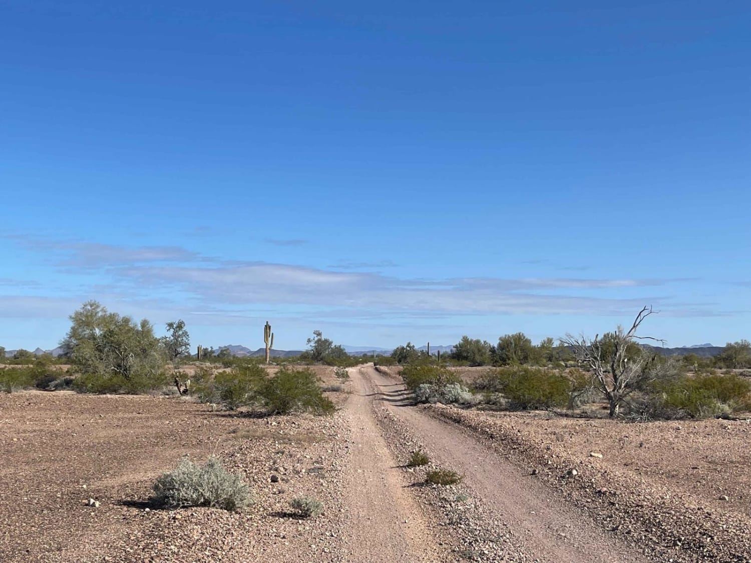
AZPT Red Raven to Chicken Foot
Total Miles
6.7
Tech Rating
Moderate
Best Time
Spring, Winter
Learn more about AZPT Royal Arch Loop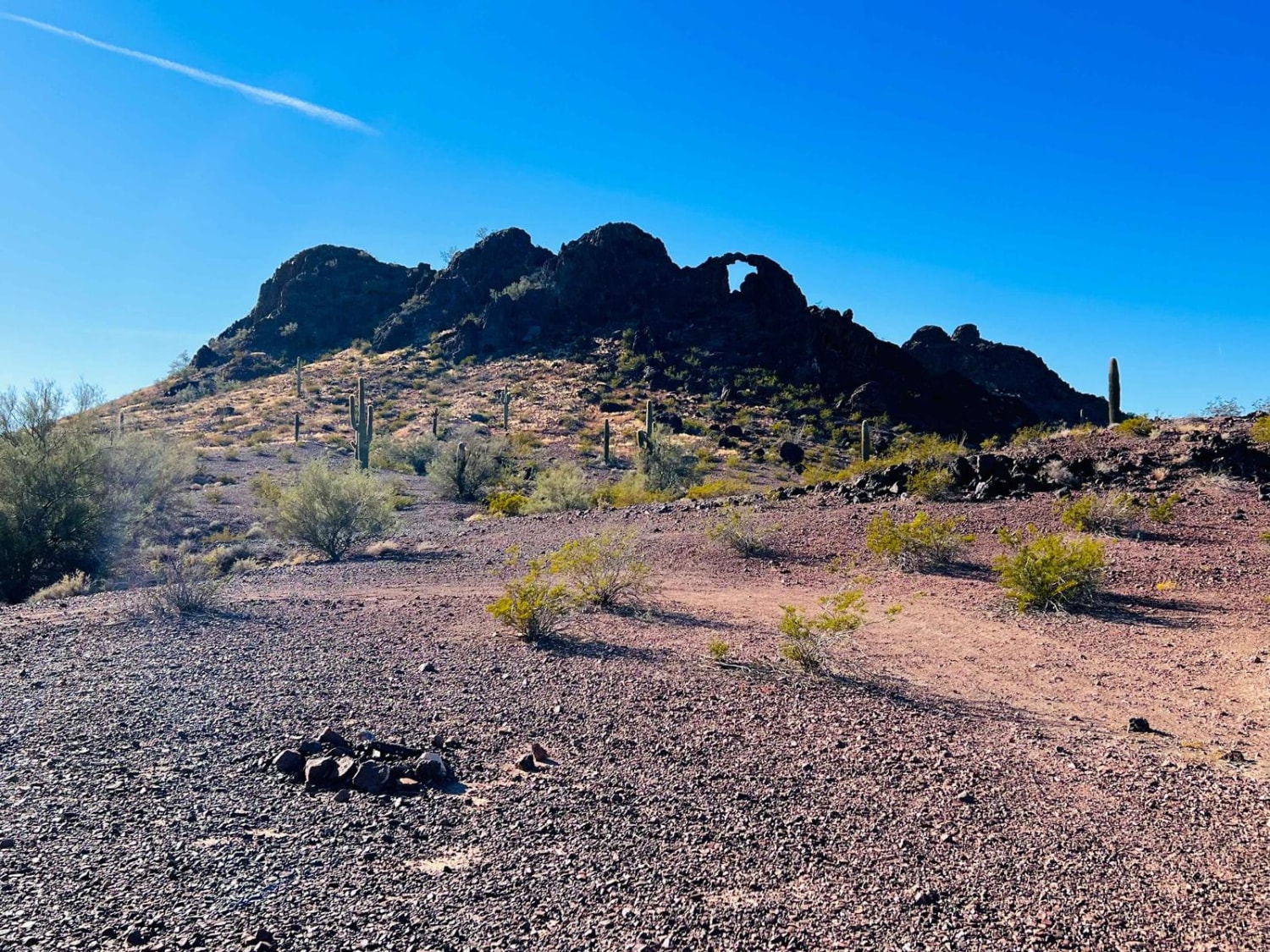
AZPT Royal Arch Loop
Total Miles
7.8
Tech Rating
Moderate
Best Time
Spring, Fall, Winter
Learn more about AZPT Segment Lake Havasu to Kingman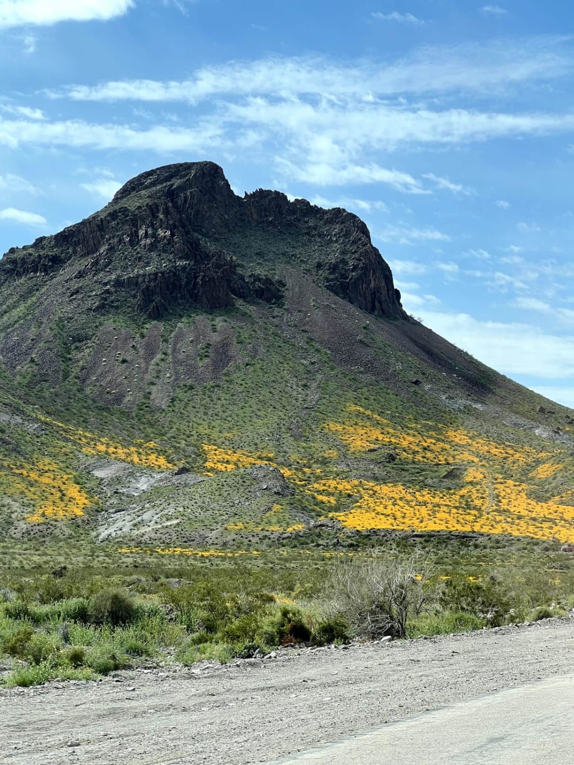
AZPT Segment Lake Havasu to Kingman
Total Miles
19.7
Tech Rating
Easy
Best Time
Spring, Summer, Fall, Winter
Learn more about AZPT South Spur to Yuma 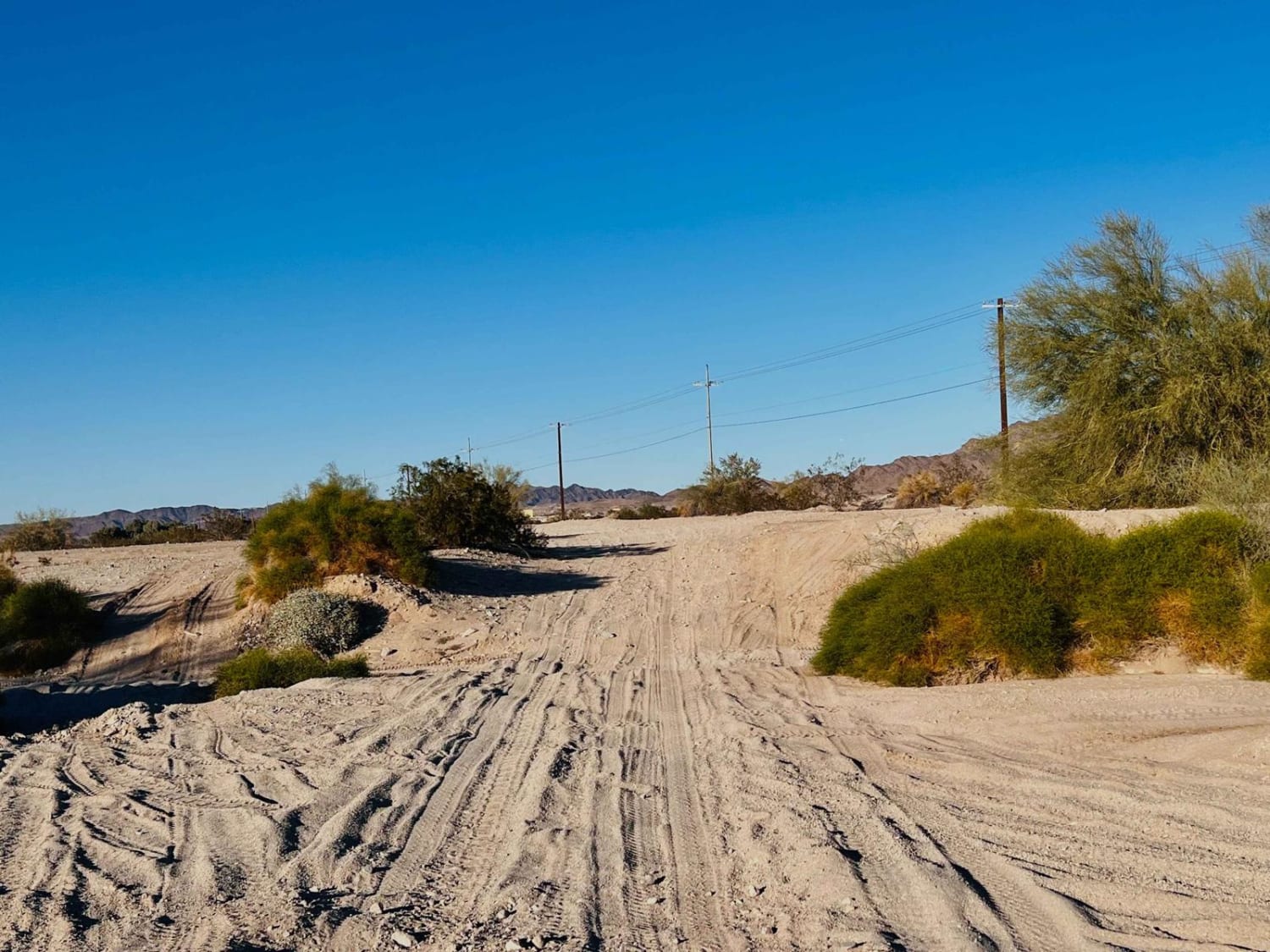
AZPT South Spur to Yuma
Total Miles
5.6
Tech Rating
Moderate
Best Time
Spring, Fall, Winter
Learn more about AZPT The Fields To The Abandoned Bus Stop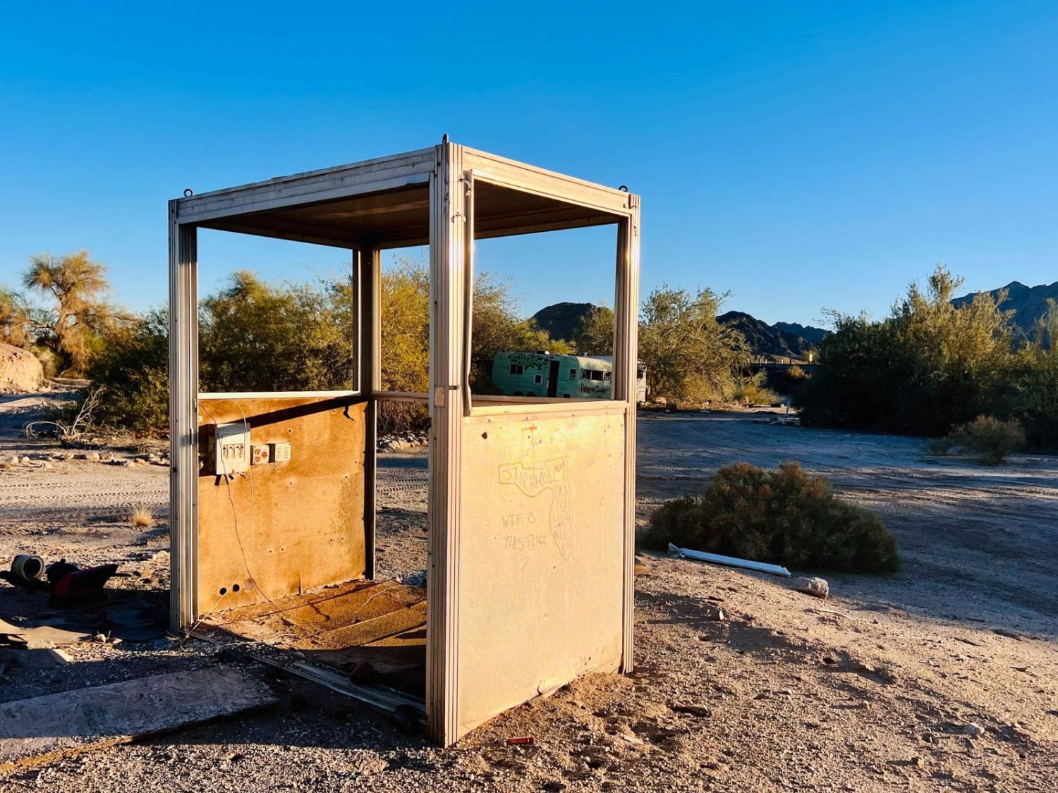
AZPT The Fields To The Abandoned Bus Stop
Total Miles
5.1
Tech Rating
Easy
Best Time
Spring, Fall, Winter
Learn more about AZPT The Solar Field to Red Raven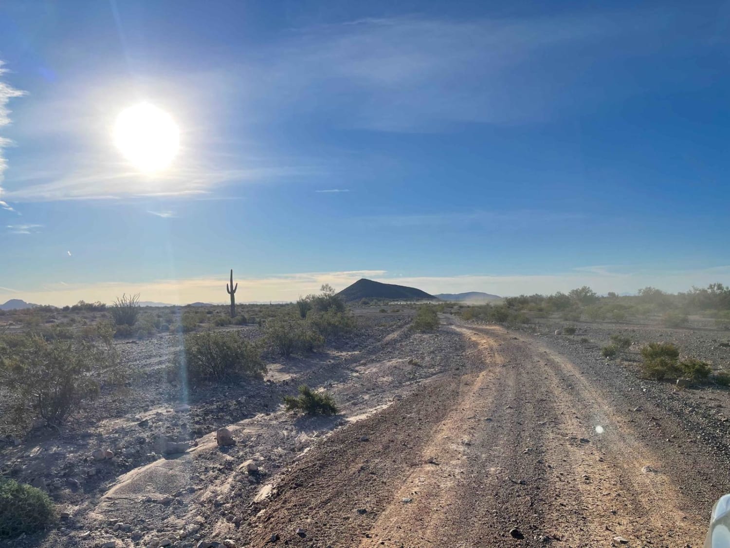
AZPT The Solar Field to Red Raven
Total Miles
17.9
Tech Rating
Easy
Best Time
Spring, Fall, Winter
Learn more about AZPT Wickenburg Road to the Stranded Bus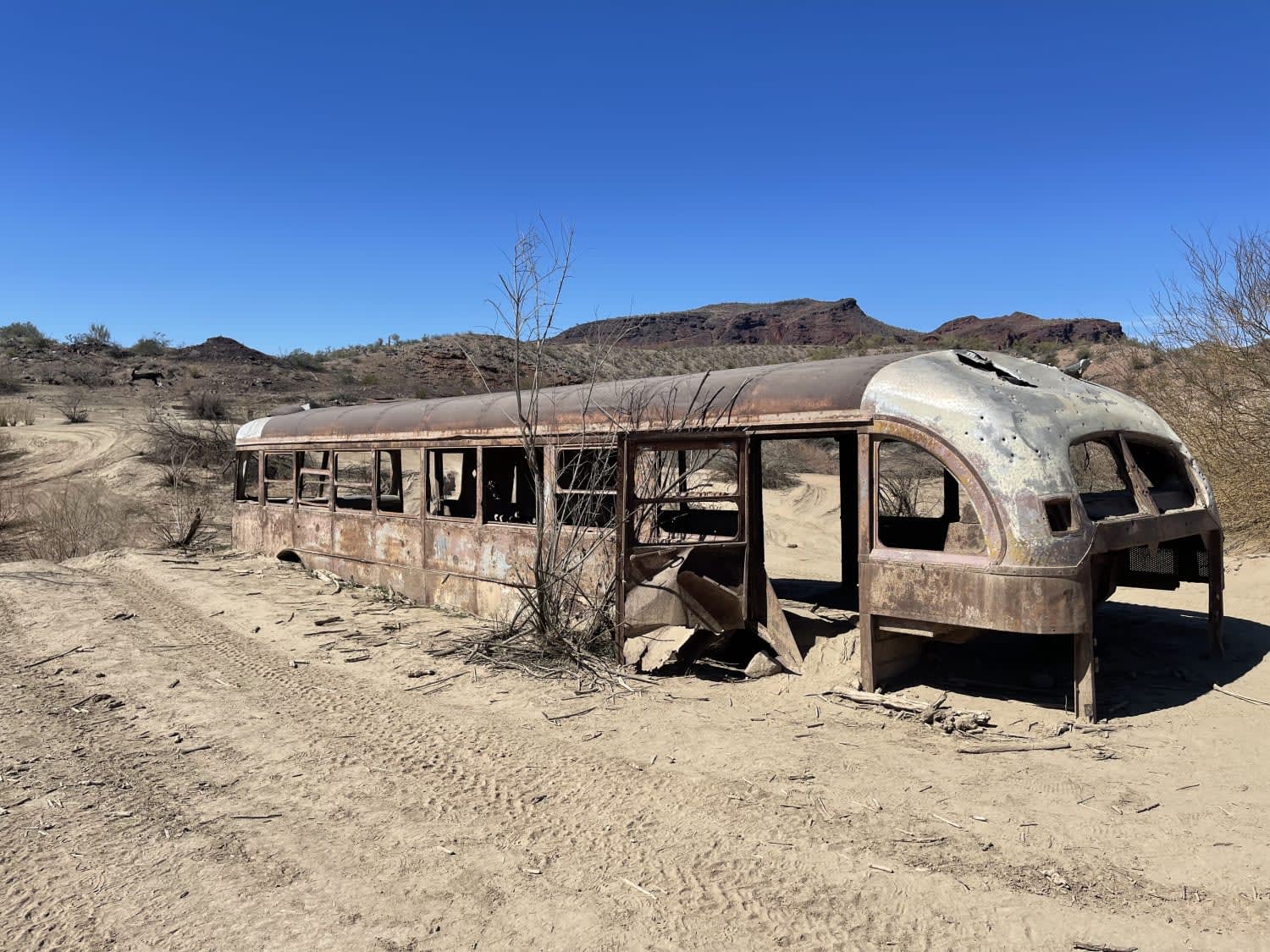
AZPT Wickenburg Road to the Stranded Bus
Total Miles
4.1
Tech Rating
Moderate
Best Time
Spring, Fall, Winter
ATV trails in Arizona
Learn more about Scrub Oak Bypass 
Scrub Oak Bypass
Total Miles
0.5
Tech Rating
Easy
Best Time
Spring, Summer, Fall


UTV/side-by-side trails in Arizona
Learn more about Scrub Oak Bypass
Scrub Oak Bypass
Total Miles
0.5
Tech Rating
Easy
Best Time
Spring, Summer, Fall
The onX Offroad Difference
onX Offroad combines trail photos, descriptions, difficulty ratings, width restrictions, seasonality, and more in a user-friendly interface. Available on all devices, with offline access and full compatibility with CarPlay and Android Auto. Discover what you’re missing today!