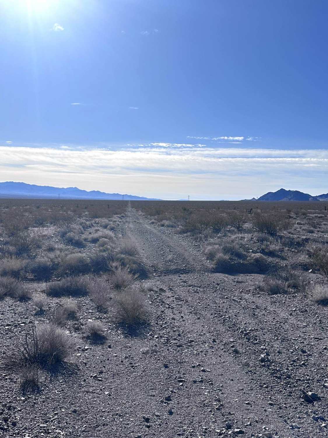
Off-Road Trails in Arizona
Discover off-road trails in Arizona
Learn more about Babbits Checkers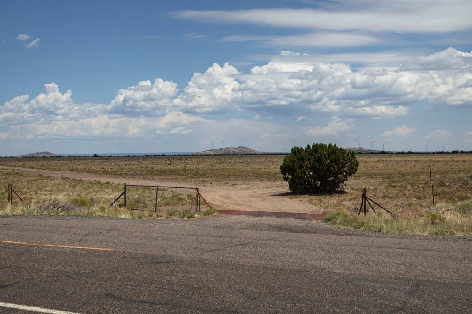
Babbits Checkers
Total Miles
12.4
Tech Rating
Easy
Best Time
Spring, Summer, Fall
Learn more about Baca Float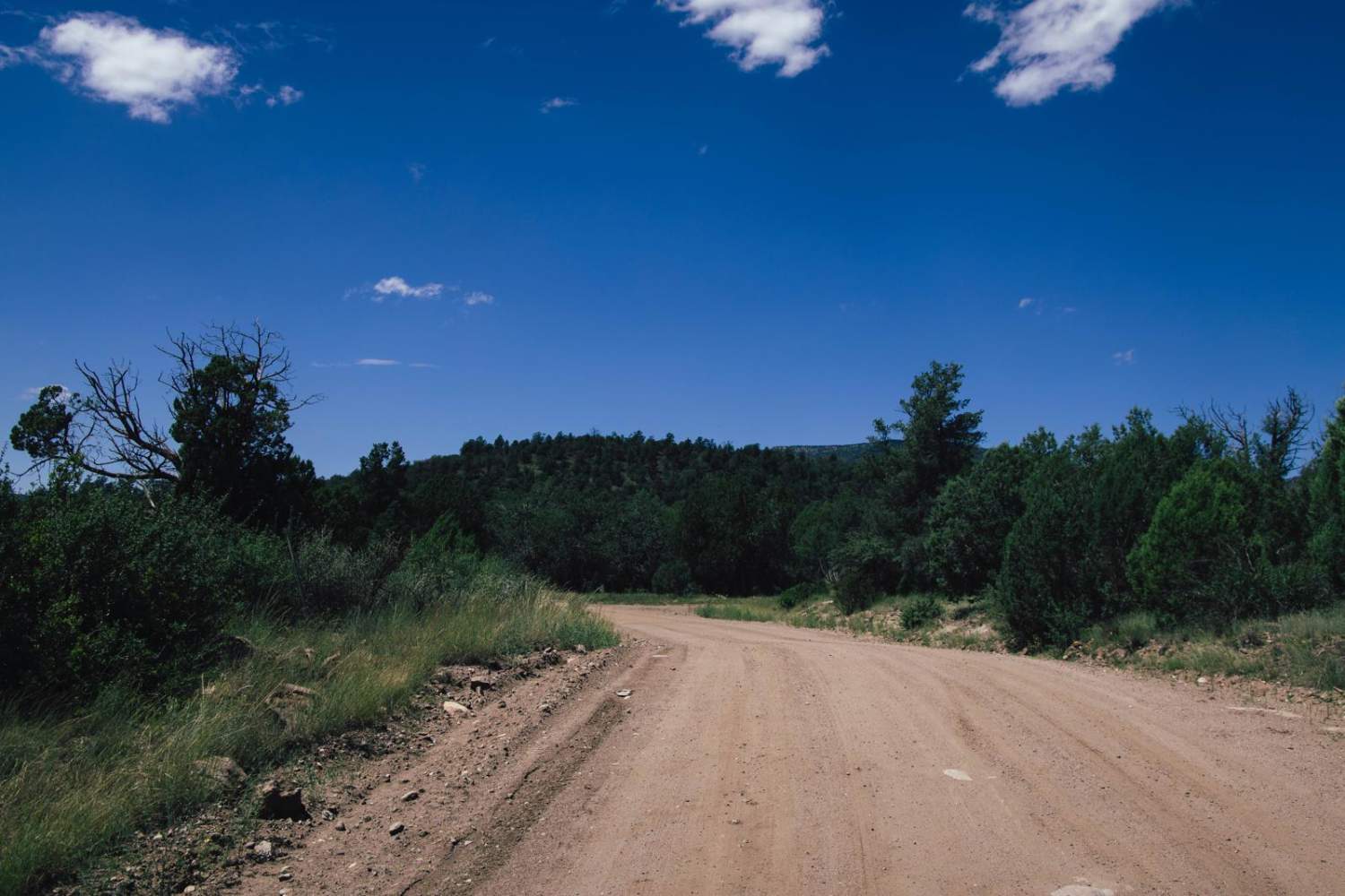
Baca Float
Total Miles
9.0
Tech Rating
Easy
Best Time
Spring, Summer, Fall, Winter
Learn more about Back Road to Wikieup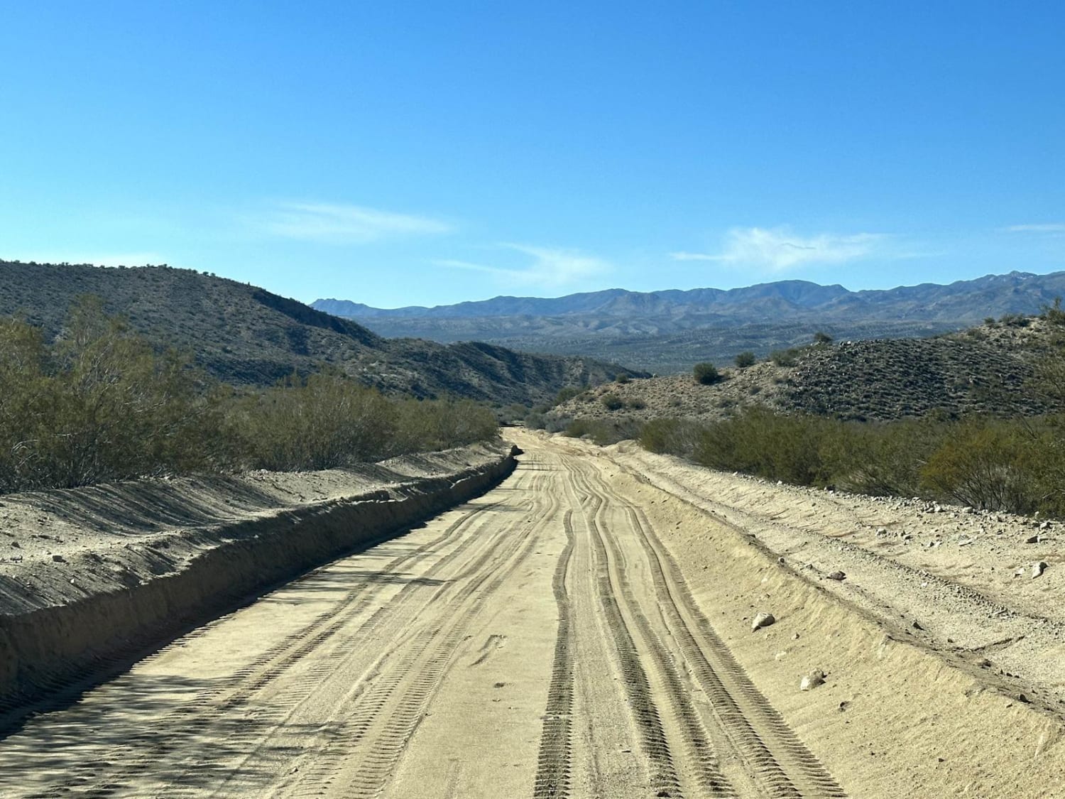
Back Road to Wikieup
Total Miles
14.4
Tech Rating
Easy
Best Time
Spring, Summer, Fall, Winter
Learn more about Back to the Corner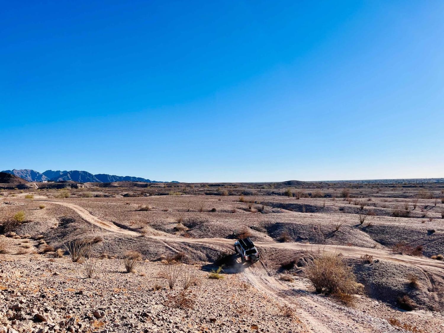
Back to the Corner
Total Miles
2.1
Tech Rating
Moderate
Best Time
Spring, Fall, Winter
Learn more about Back Way to Black Canyon City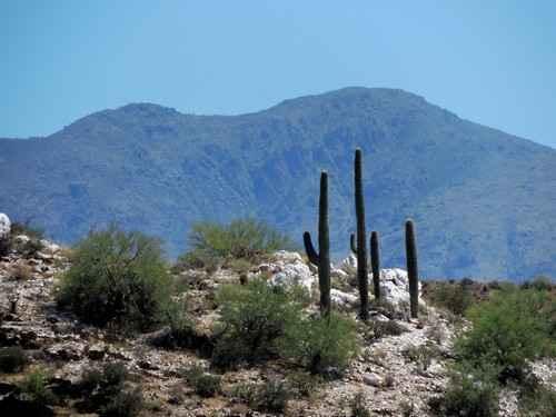
Back Way to Black Canyon City
Total Miles
10.3
Tech Rating
Moderate
Best Time
Fall, Summer
Learn more about Backside Black Mountain Range - B1688
Backside Black Mountain Range - B1688
Total Miles
15.7
Tech Rating
Easy
Best Time
Spring, Fall, Winter
Learn more about Backside of Tuthill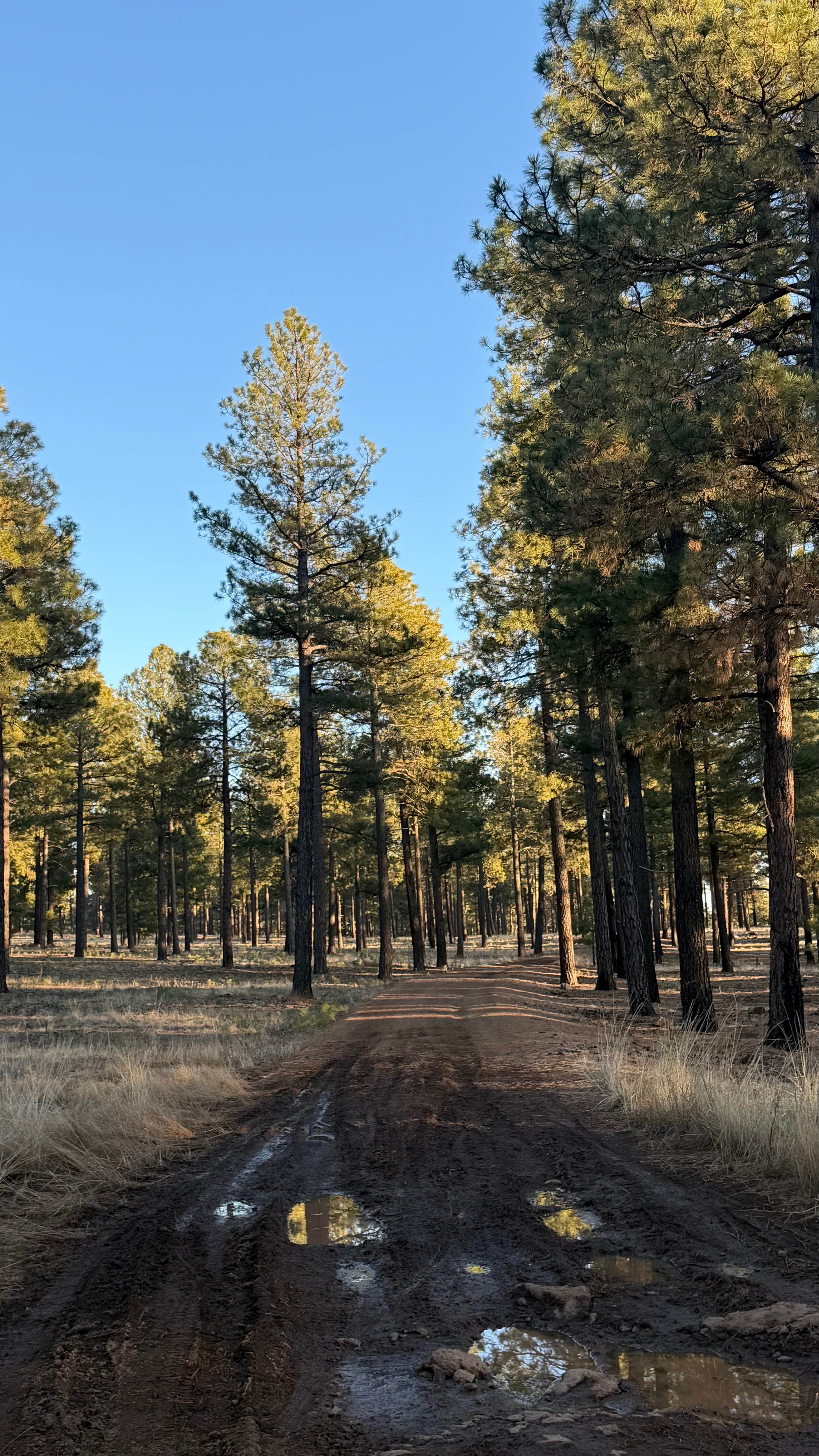
Backside of Tuthill
Total Miles
1.7
Tech Rating
Easy
Best Time
Winter, Fall, Summer, Spring
Learn more about Backward Tank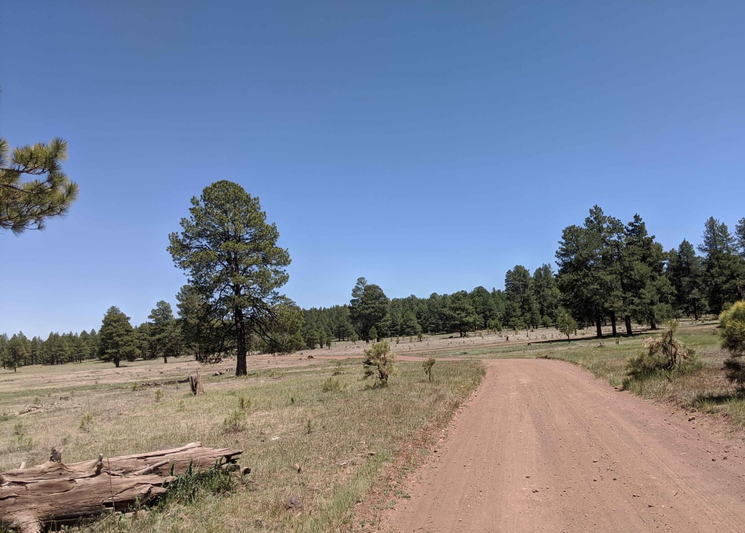
Backward Tank
Total Miles
3.6
Tech Rating
Easy
Best Time
Fall, Summer, Spring
Learn more about Backway to 69
Backway to 69
Total Miles
3.4
Tech Rating
Easy
Best Time
Spring, Summer, Fall, Winter
Learn more about Backway to Alamo Lake
Backway to Alamo Lake
Total Miles
17.9
Tech Rating
Moderate
Best Time
Spring, Fall, Winter
Learn more about Backway To Bloody Basin
Backway To Bloody Basin
Total Miles
1.5
Tech Rating
Easy
Best Time
Spring, Summer, Fall, Winter
Learn more about Backway to Bunker Bar
Backway to Bunker Bar
Total Miles
3.3
Tech Rating
Moderate
Best Time
Spring, Winter
Learn more about Backway to Crown King
Backway to Crown King
Total Miles
25.0
Tech Rating
Difficult
Best Time
Summer
Learn more about Backway to Desert Bar
Backway to Desert Bar
Total Miles
9.5
Tech Rating
Moderate
Best Time
Fall, Winter, Spring
Learn more about Backway to Mount Lemmon
Backway to Mount Lemmon
Total Miles
47.7
Tech Rating
Easy
Best Time
Summer
Learn more about Backway to Sheeps Bridge
Backway to Sheeps Bridge
Total Miles
11.7
Tech Rating
Moderate
Best Time
Spring, Summer, Fall, Winter
Learn more about Backway to Waterfall 
Backway to Waterfall
Total Miles
1.3
Tech Rating
Easy
Best Time
Spring, Fall, Winter, Summer
Learn more about Backway to Williams - Jerome Trail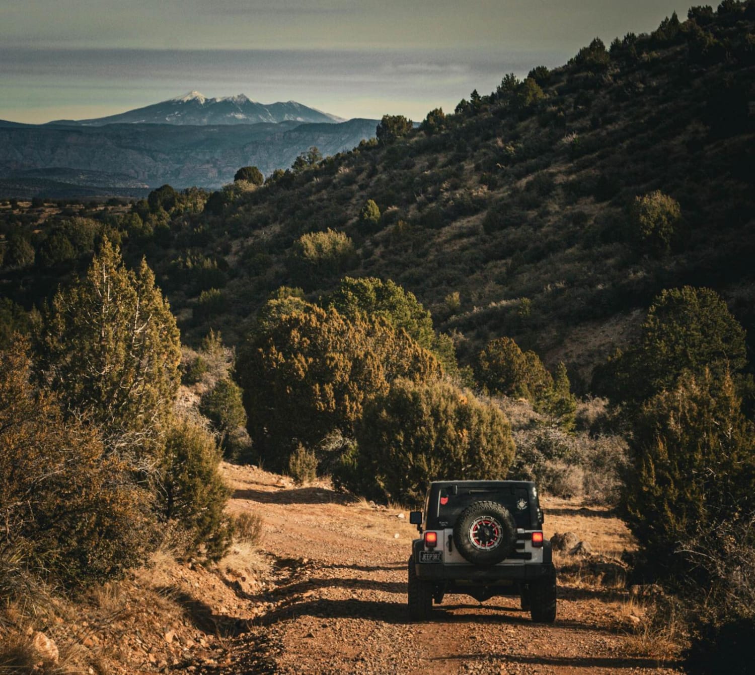
Backway to Williams - Jerome Trail
Total Miles
15.0
Tech Rating
Moderate
Best Time
Winter, Fall, Summer
ATV trails in Arizona
Learn more about Scrub Oak Bypass 
Scrub Oak Bypass
Total Miles
0.5
Tech Rating
Easy
Best Time
Spring, Summer, Fall


UTV/side-by-side trails in Arizona
Learn more about Scrub Oak Bypass
Scrub Oak Bypass
Total Miles
0.5
Tech Rating
Easy
Best Time
Spring, Summer, Fall
The onX Offroad Difference
onX Offroad combines trail photos, descriptions, difficulty ratings, width restrictions, seasonality, and more in a user-friendly interface. Available on all devices, with offline access and full compatibility with CarPlay and Android Auto. Discover what you’re missing today!