Backway to Desert Bar

Total Miles9.6
Technical Rating
5Moderate
Best TimeFall, Winter, Spring
Trail TypeFull-Width Road
Accessible By
Open Trail Map

Trail Overview

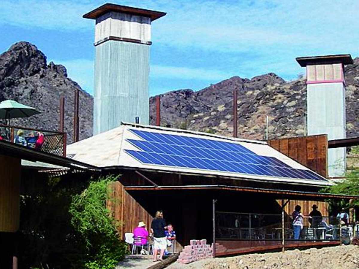
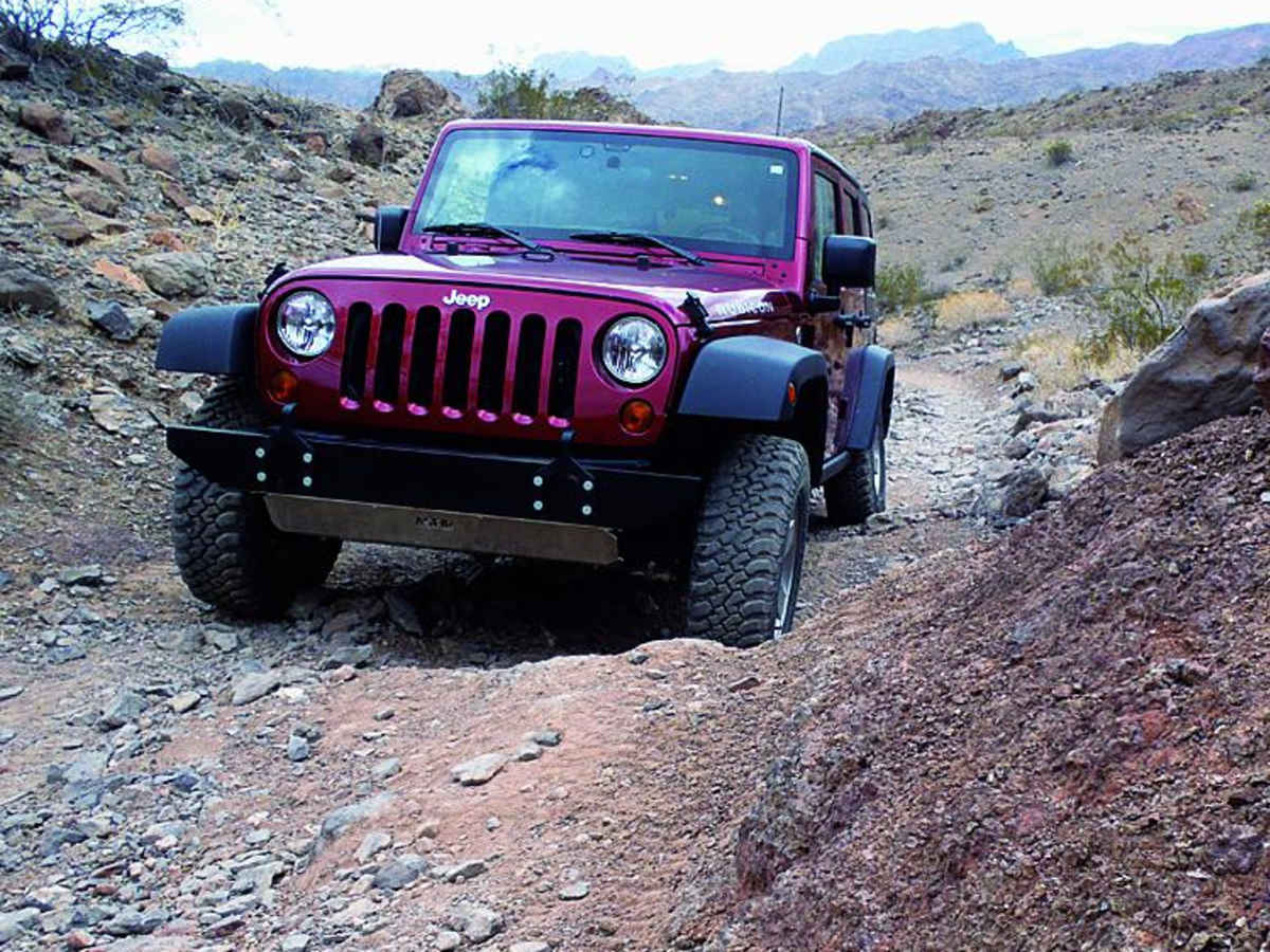
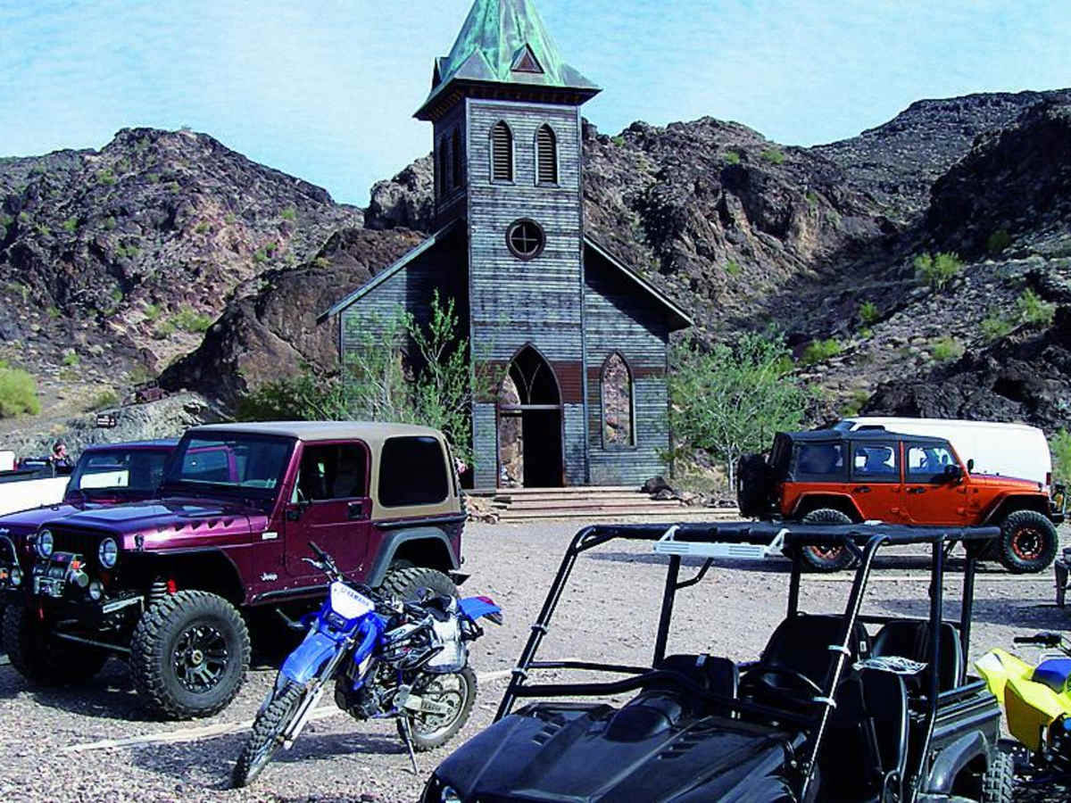
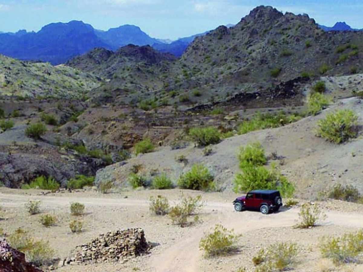
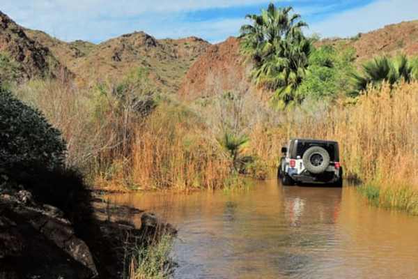
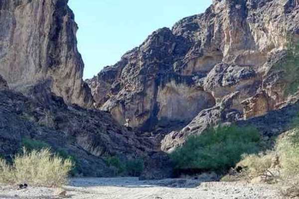
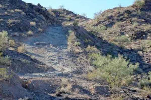
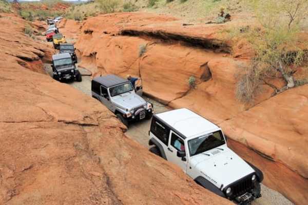
This rugged 9.5-mile point-to-point offroad trail is designed for experienced drivers seeking a challenging, scenic alternative to the standard route to the famous Nellie E. Saloon. Spanning an elevation range from 385 to 1,074 feet, the trail navigates through the dramatic desert landscapes of western Arizona, passing near Billy Mack Mountain and Giers Mountain. Drivers can expect a variety of technical challenges along this unpaved route, including steep climbs, loose rocky terrain, off-camber sections, and deep washouts that demand careful tire placement. A four-wheel-drive vehicle with high ground clearance is highly recommended, though experienced drivers in aggressive stock SUVs can complete the route. Side-by-sides (SxSs), ATVs, and other off-highway vehicles are permitted, but riders must stay on designated routes west of HS245 to avoid entering the closed wilderness area situated immediately to the east. The route culminates near the unique Desert Bar, which operates on solar power and is built on an old mining claim, providing a memorable destination after a day of technical desert driving.

Photos of Backway to Desert Bar

Difficulty

Moderate: Steep and rocky in places with a few tippy spots. Fresh ruts and washouts possible. Aggressive stock SUVs with high ground clearance can do it with an experienced driver.

History

The Nellie E. Saloon, widely known as the Desert Bar, is built on the historic Nellie E. mining claim. Established in 1983 by a local resident named Ken, the solar-powered establishment has expanded over the decades into a famous desert destination.

Technical Rating

5

Status Reports

Add Status Report
Alex Cost
Jan 10, 2026
2010 Toyota Tundra
Open
DustyRough/Deteriorated
I have heard so much about this trail and the Desert Bar. After over a year, we finally made the time to make it out here. The northern-most road (by the river island state park) is the more technical, just be aware. Fortunately, they have a nice staging/parking area. The first mile was pretty easy compared to the rest of the trail. It does get rougher and more technical as you progress the trail. Make sure you have a spotter and travel in pairs would be my recommendation. There are very steep areas, with shelf roads and given the amount of rain recently created 4 areas that travel was off camber, and we had to build up the areas that were washed out, so the tires had something to grip and level out the vehicles. I've done level 5, this was not a level 5 in its given condition. We did the trail with a 2010 Tundra and 1999 4Runner with lockers. Took about 8 hours to get to the entrance of the Desert Bar, unfortunately it was already closed. We will come back again, but take the other entrance.
Tomas M
Nov 10, 2025
2018 Jeep Wrangler
Open
NormalDusty
Andrew Fawley
Oct 25, 2025
Open
Rough/Deteriorated
First part of the trail had extremely washed out hills, only for extreme jeeps and sxs, not for the faint of heart
Shane J
Oct 18, 2025
Open
Rough/Deteriorated
Andrew Oliver
Mar 11, 2025
Open
Normal
Hart Gleason
Apr 13, 2024
Open
You will definitely want a high clearance 4x4. Fun trip!
Chuck Rodriguez
Mar 17, 2024
Open
Normal
Easy ride and the mapping is good. There are several trails that branch off but you just need to follow the map and keep the direction the same. Plenty portions of the trail is only wide enough for one side by side. So plan on either backing down or yielding to on coming traffic. This can make it dangerous if not paying attention.
Joe Gernes
Mar 08, 2023
Open

Backway to Desert Bar Trail can be accessed by the following ride types:

  • Single Track
  • 50 Inch
  • 60 Inch
  • High Clearance
  • Full Width

Access Description

The Desert Bar is open only on weekends and holidays from Labor Day weekend through Memorial Day weekend, operating from noon until sunset, and is completely closed during the hot summer months. Off-highway vehicle riders must remain on designated trails, as all lands to the east of HS245 are protected wilderness closed to motorized travel.

Backway to Desert Bar Map

The onX Offroad Difference

onX Offroad combines trail photos, descriptions, difficulty ratings, width restrictions, seasonality, and more in a user-friendly interface. Available on all devices, with offline access and full compatibility with CarPlay and Android Auto. Discover what you're missing today!

Open Trail Map