Off-Road Trails in Arizona
Discover off-road trails in Arizona
Learn more about Approach Angle Issues
Approach Angle Issues
Total Miles
2.5
Tech Rating
Easy
Best Time
Spring, Summer, Fall, Winter
Learn more about Aquarius Cliffs Trail
Aquarius Cliffs Trail
Total Miles
17.1
Tech Rating
Easy
Best Time
Spring, Summer, Fall, Winter
Learn more about Aquarius Traverse
Aquarius Traverse
Total Miles
49.1
Tech Rating
Easy
Best Time
Spring, Summer, Fall
Learn more about Aqueduct Road
Aqueduct Road
Total Miles
5.0
Tech Rating
Easy
Best Time
Spring, Fall, Winter
Learn more about Aqueduct Roll
Aqueduct Roll
Total Miles
6.3
Tech Rating
Easy
Best Time
Spring, Summer, Fall, Winter
Learn more about AR-LO Trail
AR-LO Trail
Total Miles
2.2
Tech Rating
Moderate
Best Time
Winter, Fall, Summer, Spring
Learn more about Arcosanti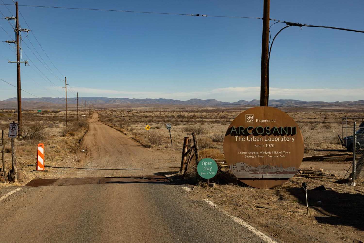
Arcosanti
Total Miles
1.4
Tech Rating
Easy
Best Time
Spring, Summer, Fall, Winter
Learn more about Arizona Bay Road - 38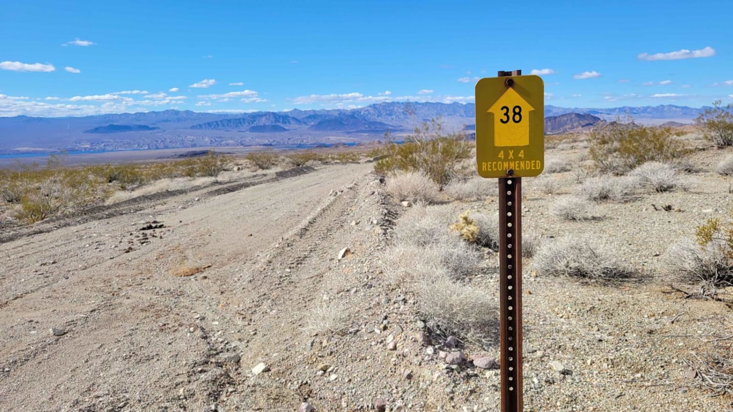
Arizona Bay Road - 38
Total Miles
5.9
Tech Rating
Easy
Best Time
Spring, Summer, Fall, Winter
Learn more about Arizona FSR 125 to FS 92
Arizona FSR 125 to FS 92
Total Miles
4.7
Tech Rating
Easy
Best Time
Spring, Summer, Fall
Learn more about Arizona Peace Trail spur Salome to Harquahala Peak
Arizona Peace Trail spur Salome to Harquahala Peak
Total Miles
7.9
Tech Rating
Moderate
Best Time
Spring, Fall, Winter
Learn more about Armer Gulch - FS 663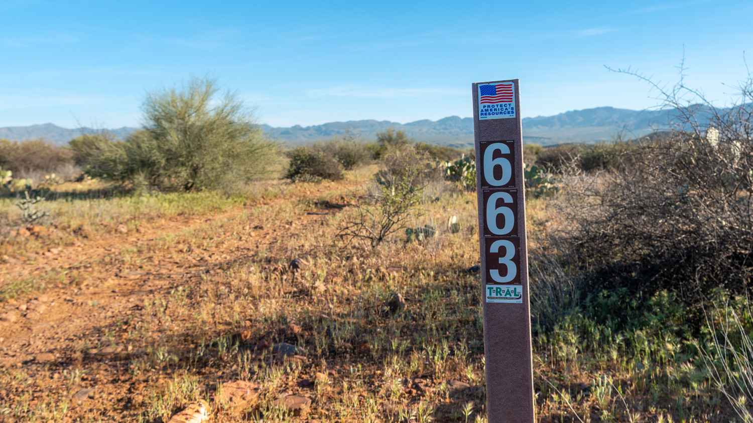
Armer Gulch - FS 663
Total Miles
3.3
Tech Rating
Easy
Best Time
Spring, Fall, Winter
Learn more about Around Little Creek Mountain
Around Little Creek Mountain
Total Miles
17.0
Tech Rating
Moderate
Best Time
Spring, Summer, Fall
Learn more about Around Pimberton Hills
Around Pimberton Hills
Total Miles
4.2
Tech Rating
Easy
Best Time
Winter, Fall, Spring
Learn more about Around the Cows
Around the Cows
Total Miles
5.9
Tech Rating
Moderate
Best Time
Spring, Fall, Winter
Learn more about Around The Hill
Around The Hill
Total Miles
1.4
Tech Rating
Easy
Best Time
Spring, Summer, Fall, Winter
Learn more about Arrastra Creek
Arrastra Creek
Total Miles
9.0
Tech Rating
Moderate
Best Time
Spring, Summer, Fall
Learn more about Arrastras Boundary
Arrastras Boundary
Total Miles
3.1
Tech Rating
Easy
Best Time
Spring, Summer, Fall, Winter
Learn more about Arrowhead Cove Road - 2A
Arrowhead Cove Road - 2A
Total Miles
1.6
Tech Rating
Easy
Best Time
Spring, Summer, Fall, Winter
Learn more about Artesia Road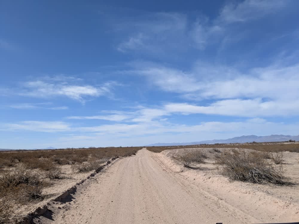
Artesia Road
Total Miles
13.6
Tech Rating
Easy
Best Time
Spring, Fall, Winter
Learn more about Ascent from Peppersauce Canyon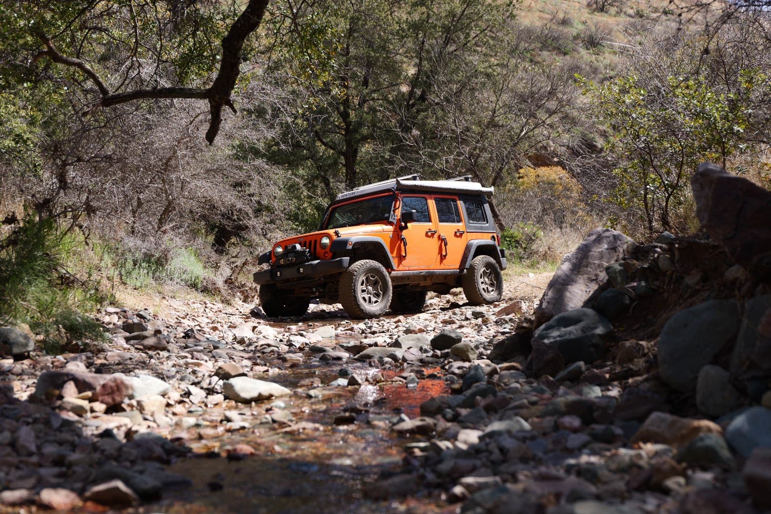
Ascent from Peppersauce Canyon
Total Miles
2.3
Tech Rating
Easy
Best Time
Spring, Fall, Summer
ATV trails in Arizona
Learn more about Scrub Oak Bypass 
Scrub Oak Bypass
Total Miles
0.5
Tech Rating
Easy
Best Time
Spring, Summer, Fall


UTV/side-by-side trails in Arizona
Learn more about Scrub Oak Bypass
Scrub Oak Bypass
Total Miles
0.5
Tech Rating
Easy
Best Time
Spring, Summer, Fall
The onX Offroad Difference
onX Offroad combines trail photos, descriptions, difficulty ratings, width restrictions, seasonality, and more in a user-friendly interface. Available on all devices, with offline access and full compatibility with CarPlay and Android Auto. Discover what you’re missing today!