Aquarius Cliffs Trail
Total Miles
17.1
Technical Rating
Best Time
Spring, Summer, Fall, Winter
Trail Type
High-Clearance 4x4 Trail
Accessible By
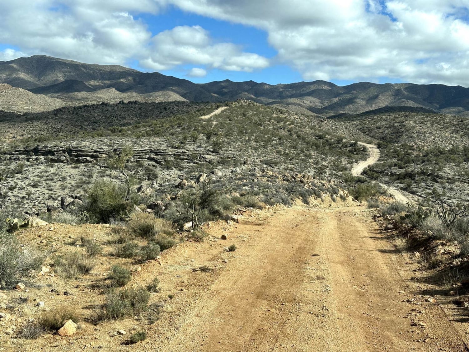
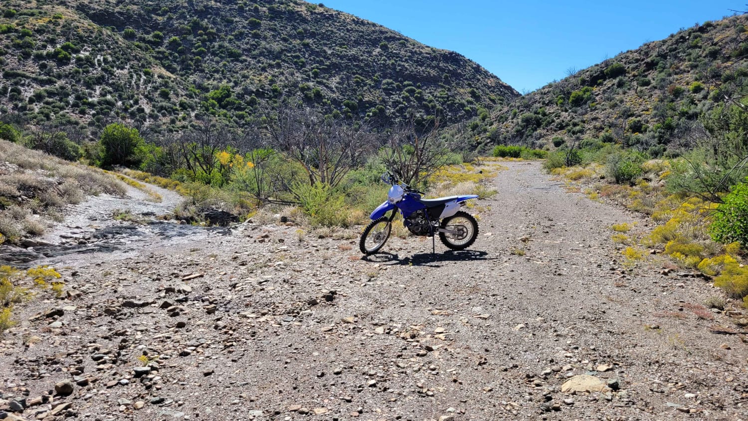
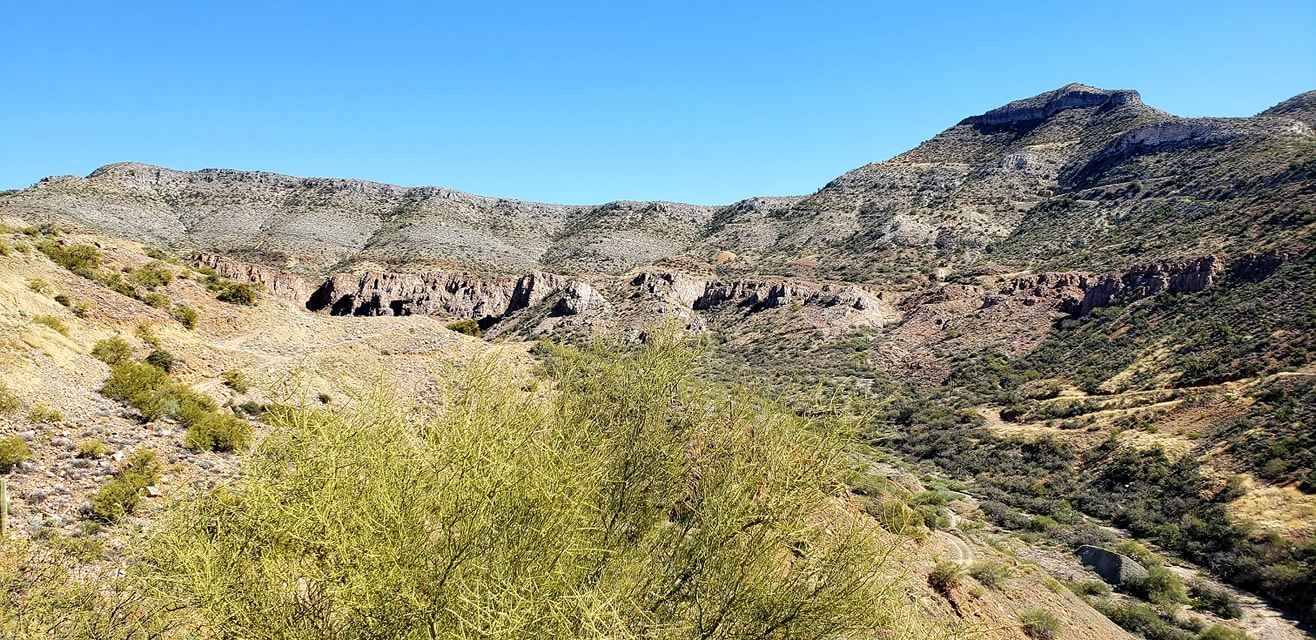
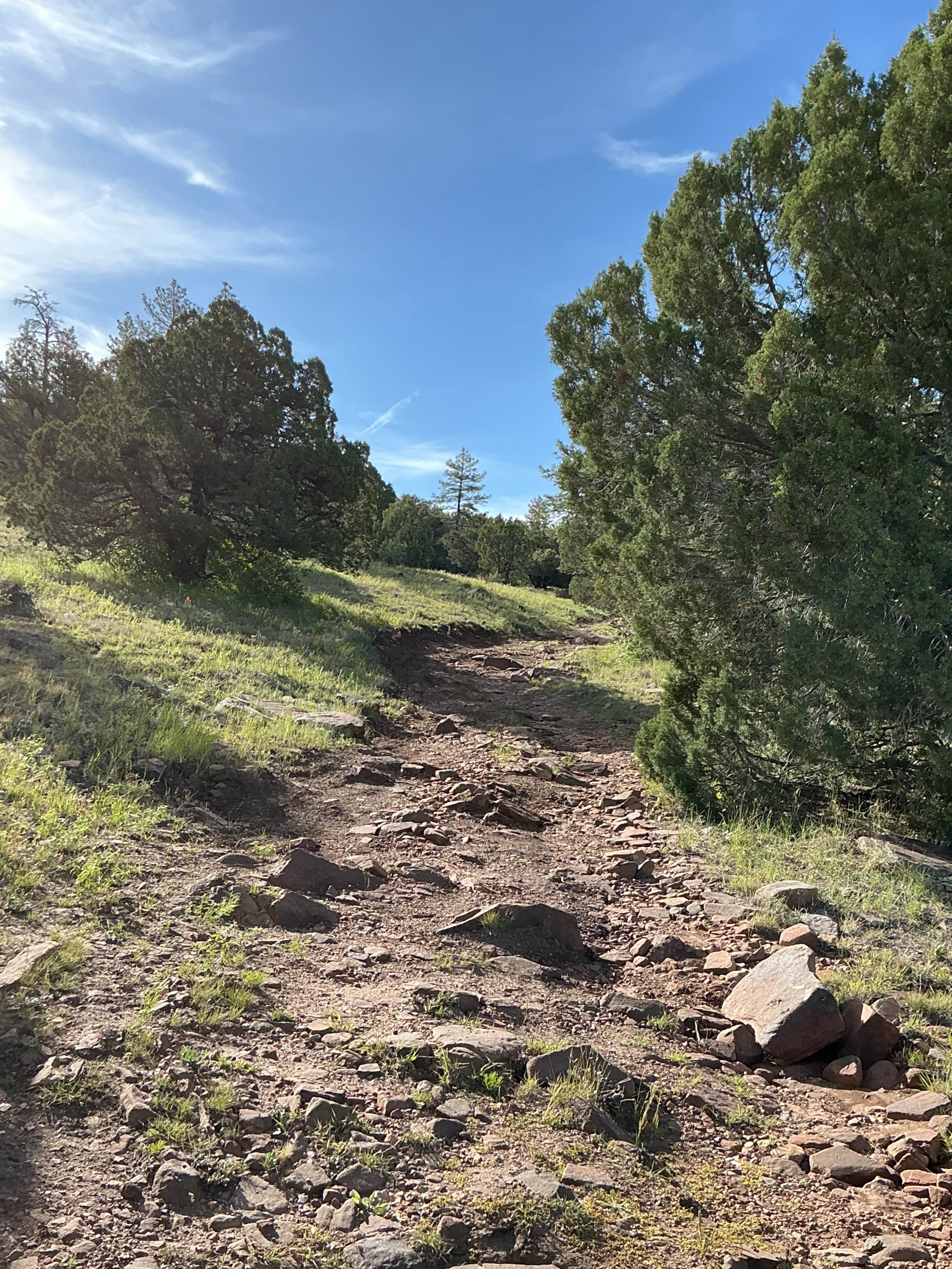
Trail Overview
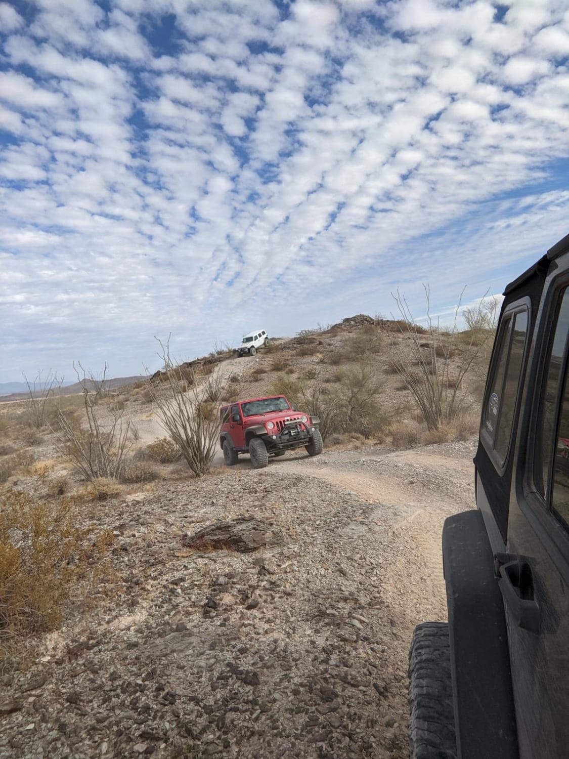
This 17-mile point-to-point trail passes through the Aquarius Mountain Range. The first 7 miles is a 2 (easy) trail then the trail narrows and the ascents/descents become steeper. At 13.5 miles you will come across a series of closed mining structures and a couple of vehicles. Around 14.8 miles there is an old homestead in Gordon Canyon. This trail is passable with a stock 4WD vehicle. This trail goes through several washes, do not travel when there is a possibility of rain or after a rain storm.
Photos of Aquarius Cliffs Trail

Difficulty
The trail is one vehicle wide with limited places to pass. Several steep ascents/descents. Passable with stock 4WD vehicles.
Status Reports
Aquarius Cliffs Trail can be accessed by the following ride types:
- High-Clearance 4x4
- SxS (60")
- ATV (50")
- Dirt Bike
Aquarius Cliffs Trail Map
Popular Trails
Cramm Trail
The onX Offroad Difference
onX Offroad combines trail photos, descriptions, difficulty ratings, width restrictions, seasonality, and more in a user-friendly interface. Available on all devices, with offline access and full compatibility with CarPlay and Android Auto. Discover what you’re missing today!