2 trails found in Arizona
Which "montana mountain" are you looking for?
We found 2 off-road trails in Arizona matching your search. Pick the one you're looking for below.
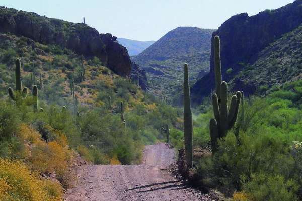
Montana Mountain
This is a beautiful trail in close proximity to Phoenix. It starts in an amazing canyon and eventually climbs up to 5,000 feet where you'll get breathtaking desert and mountain views. ATVs and UTVs can use Hewitt Station Road to complete a loop. There are some great camping spots along the way.
Learn more about Montana Mountain
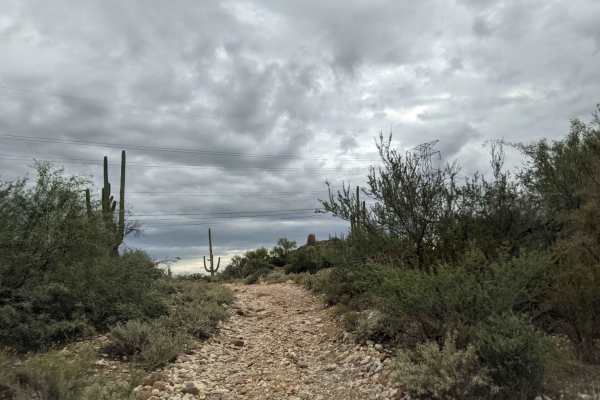
Montana Mountain Loop
This is a beautiful trail in close proximity to Phoenix. It starts in an amazing canyon and eventually climbs up to 5,000 feet, where you'll get breathtaking desert and mountain views. ATVs and UTVs can use Hewitt Station Road to complete a loop. There are some great camping spots along the way.
Learn more about Montana Mountain Loop