Gateway to Seven Springs
Total Miles
10.1
Technical Rating
Best Time
Spring, Summer, Fall, Winter
Trail Type
Full-Width Road
Accessible By
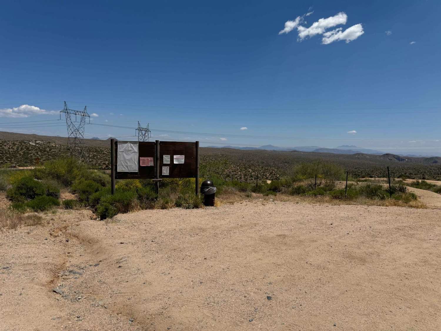
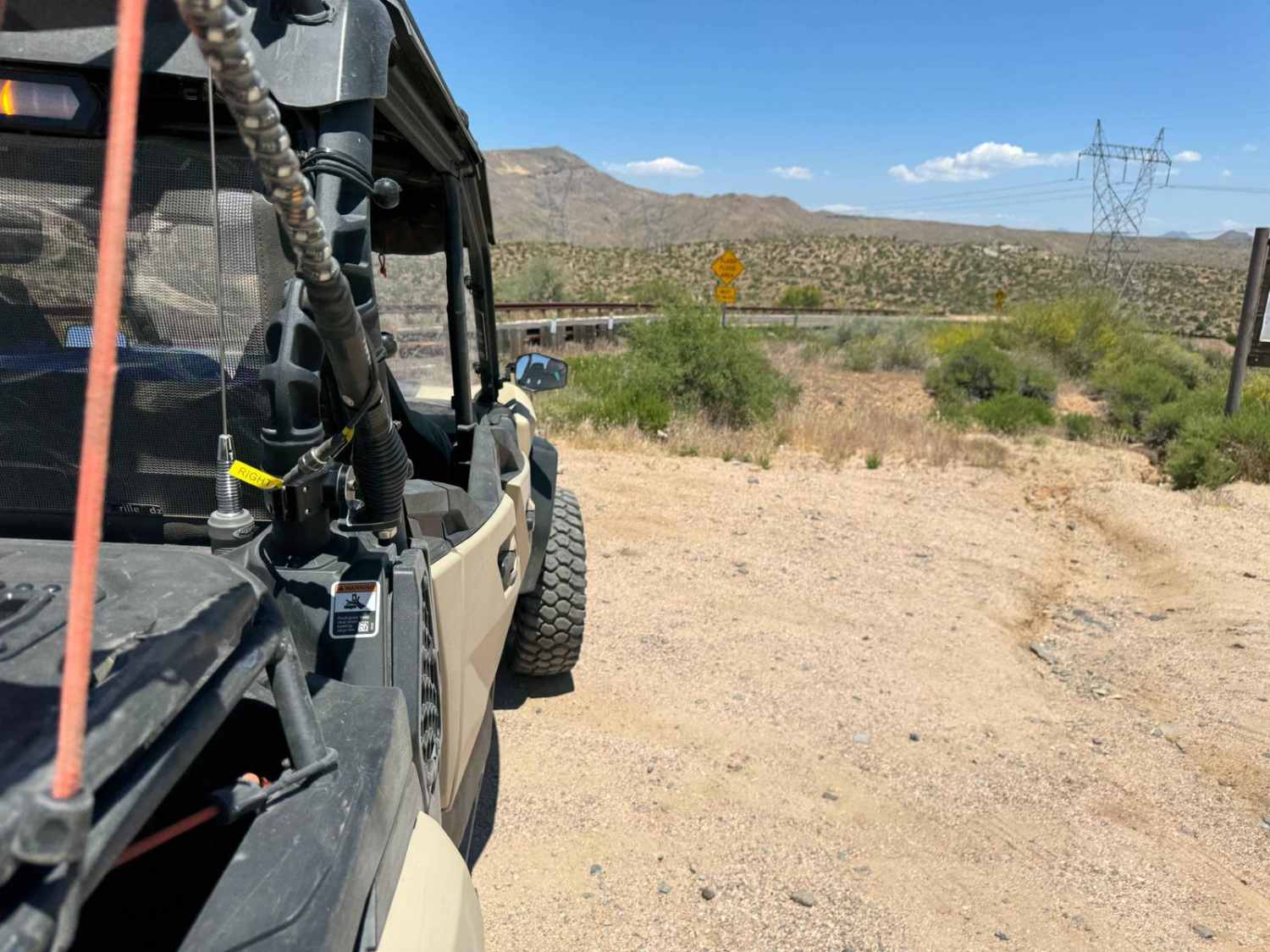
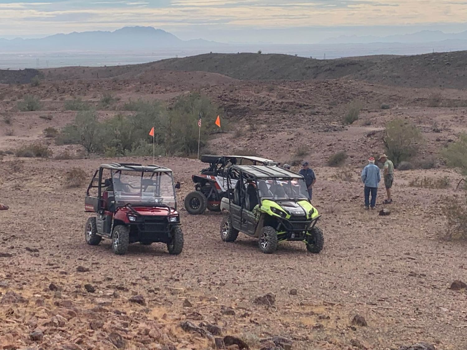
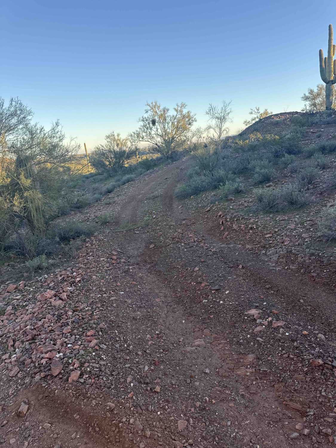
Trail Overview
This is a very easy trail that takes you from the Tonto National Forest Border in Cave Creek to the Cave Creek Trailhead in the Seven Springs Recreation Area. This is one of the most overlooked areas in this part of the Tonto National Forest. The first 2.2 miles of the trail are paved, and the remainder of the trail is wide dirt, but there are steep drop-offs and very tight switchback turns along the way, as well as some amazing scenery that make this a very worthwhile trail. Numerous side trails spawn off of this main trail, and some of the views of the Mazatzal Range are breathtaking.
Photos of Gateway to Seven Springs
Difficulty
This is an easy and wide dirt trail with some spots of pavement, however, there are sharp switchbacks and steep drop-offs without guardrails in many places. Some of the water crossings can get very deep after a rain or strong runoff, but otherwise it is a very easy trail.
Status Reports
Gateway to Seven Springs can be accessed by the following ride types:
- High-Clearance 4x4
- SUV
- SxS (60")
- ATV (50")
- Dirt Bike
Gateway to Seven Springs Map
Popular Trails

Charlie's Loop
Muggins Mountain East Red Bluff
Pinto to Pinal
Cholla Fields
The onX Offroad Difference
onX Offroad combines trail photos, descriptions, difficulty ratings, width restrictions, seasonality, and more in a user-friendly interface. Available on all devices, with offline access and full compatibility with CarPlay and Android Auto. Discover what you’re missing today!