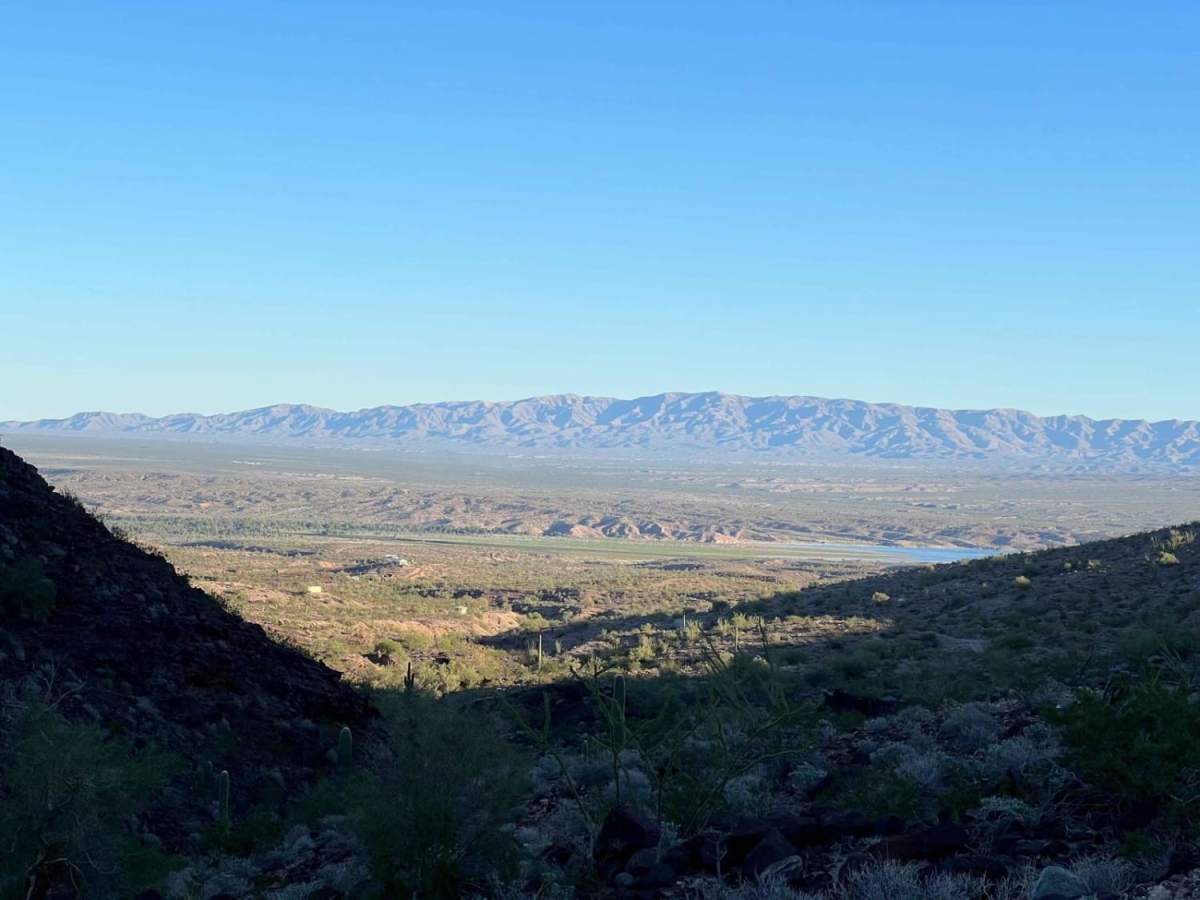
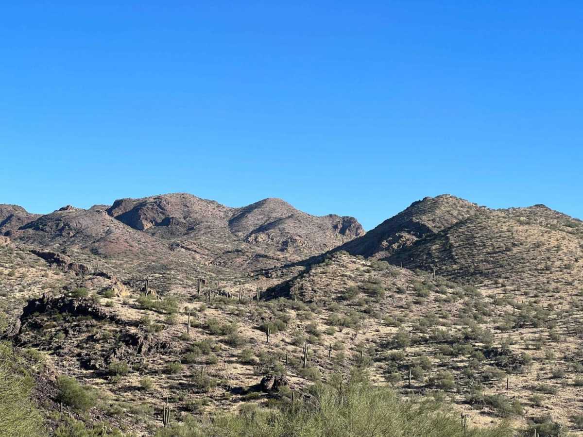
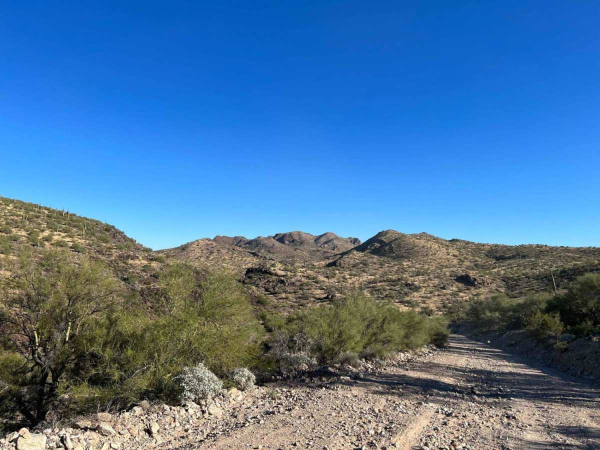
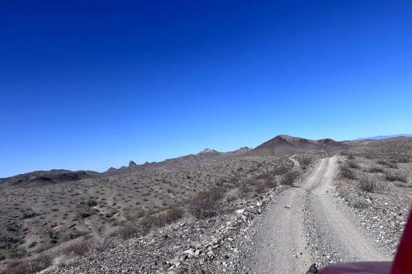
Trail Overview
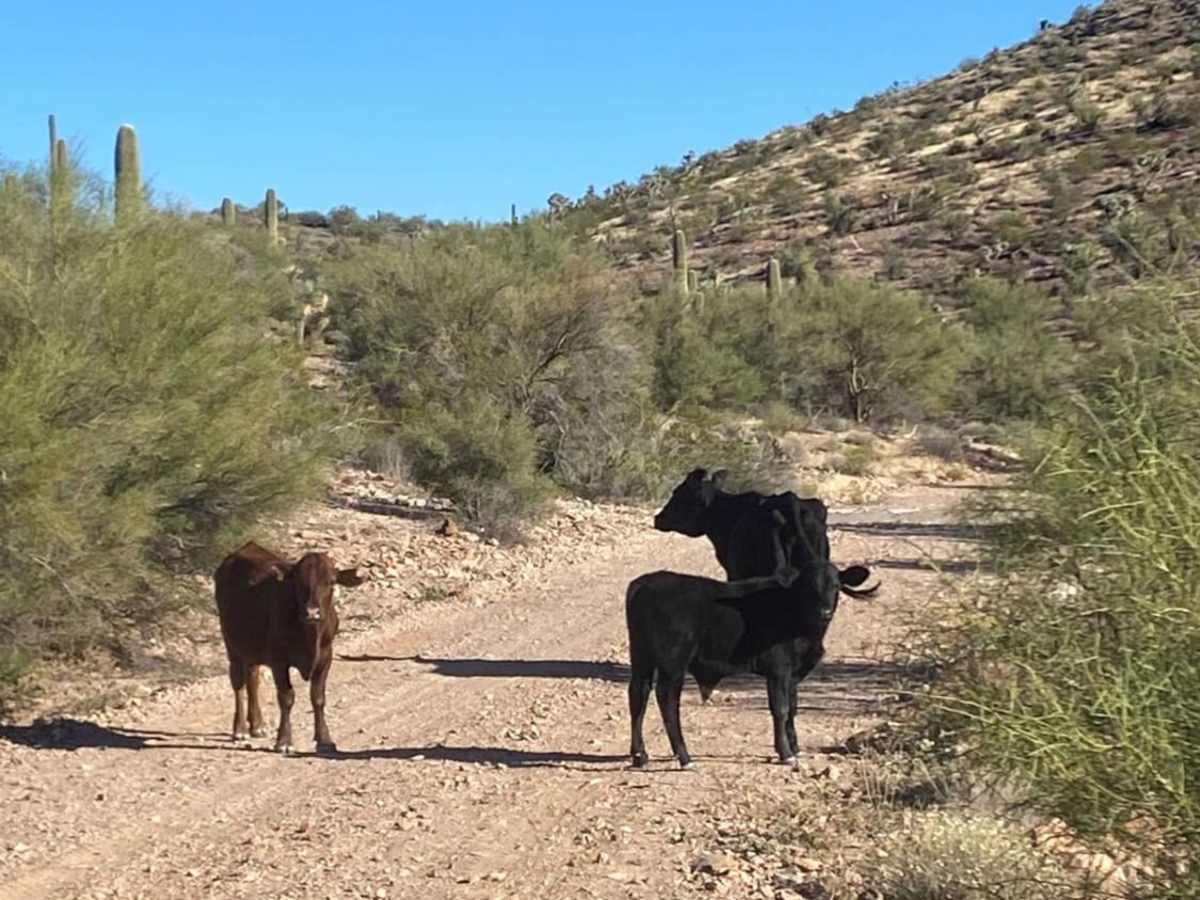
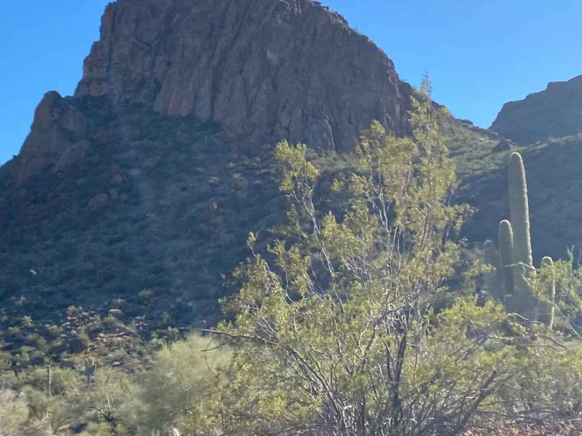
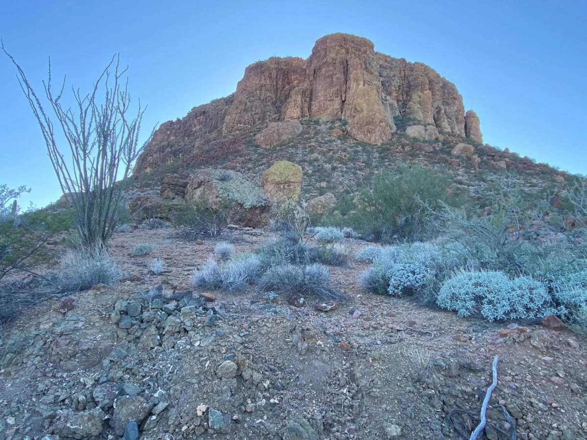
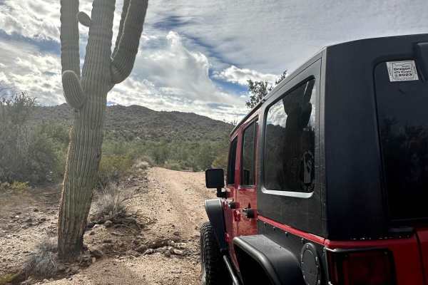
Backway to Alamo Lake (CR 167) offers a more technical route to access Alamo Lake from the northwest in comparison with County Highway 15/Alamo Road/Maggie Wash. Access this route south of Signal Road and enjoy a scenic crawl through sprinklings of Cholla, Saguaro Cacti, and Joshua Trees as you make your way over rock and erosion obstacles en route to Alamo Lake. Depending upon the time of year or the time of day, you'll likely see a variety of desert wildlife and plants including burros, cows, birds, tarantulas, wildflowers, and cacti blooms. There are several wash crossings and several areas affected by water erosion, so please be mindful of recent rain or forecasted rain, especially during monsoon. As always, be a steward of our public lands and national forests;observe Tread Lightly! and Leave No Trace principles and have fun.
Difficulty
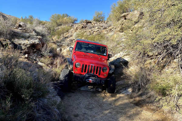
The majority of this trail varies between a technical rating of 2 and 3. However, the southeastern portion of the trail is more technical (5) due to many occurrences of erosion and a couple prominent rocky sections. The eroded sections range from narrow, shallow fissures and ruts to crevasses 2-3 feet wide by 1-4 feet deep. The worst of the crevasses take half the width of the trail and will require the driver to be precise with tire placement. The rocky sections are comprised of loose and buried rock, with a mix of ruts and holes, that will require high clearance, 4WD, and precise tire placement to avoid testing the integrity of your skid plate/armor. There are also multiple sandy wash crossings along the trail. Be mindful of recent rain or rain in the forecast as this will increase trail difficulty. Future rain and erosion will definitely increase the overall technical rating of this route and may close the trail at the segments with the larger crevasses as those areas will become impassable without repair.