Off-Road Trails in Arizona
Discover off-road trails in Arizona
Learn more about Bc1211 & Bc1212 Hill Climb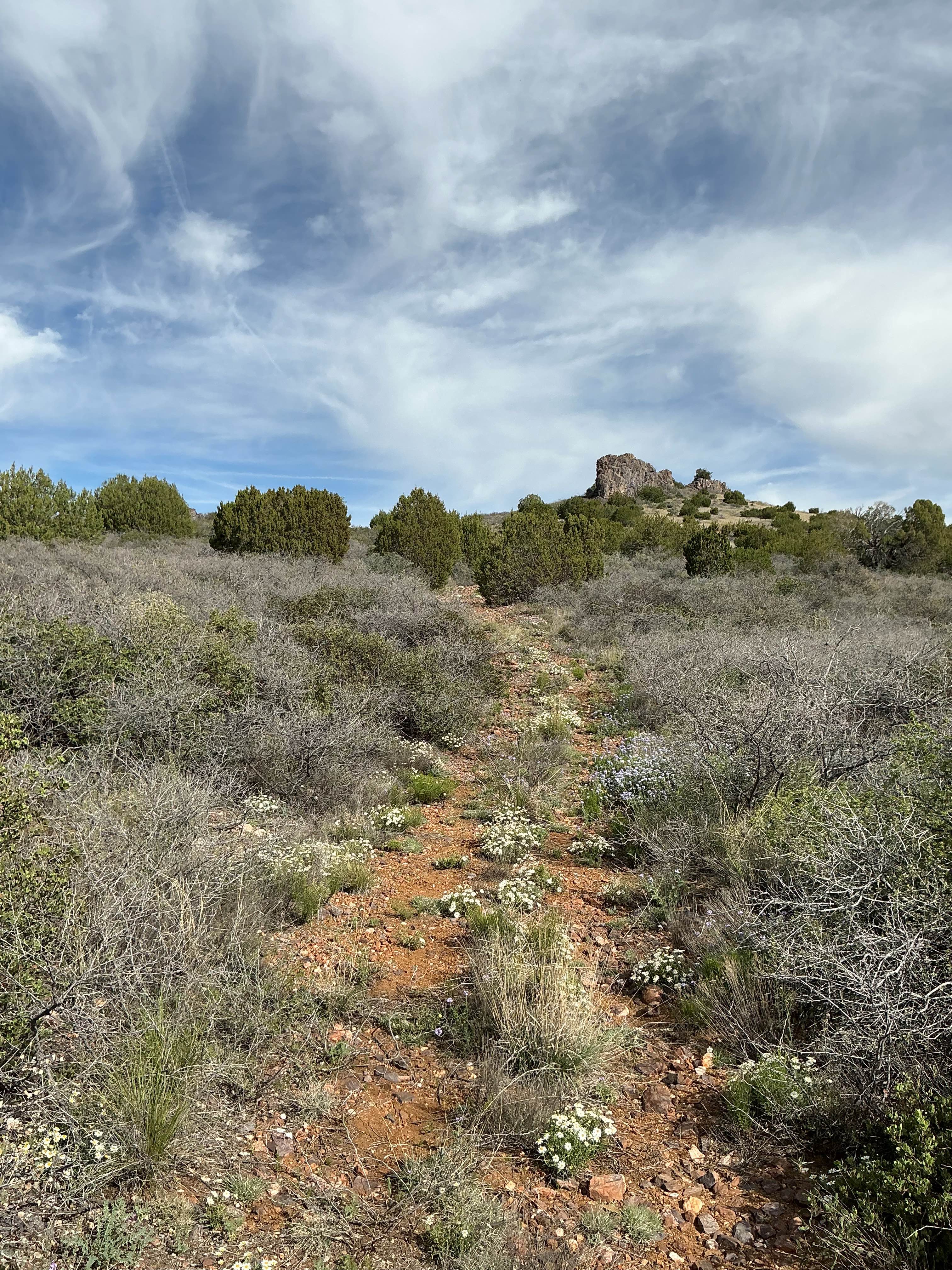
Bc1211 & Bc1212 Hill Climb
Total Miles
0.4
Tech Rating
Easy
Best Time
Spring, Fall, Winter
Learn more about Beale Wagon Road Main
Beale Wagon Road Main
Total Miles
5.2
Tech Rating
Easy
Best Time
Spring, Summer, Fall
Learn more about Beale's Wagon Road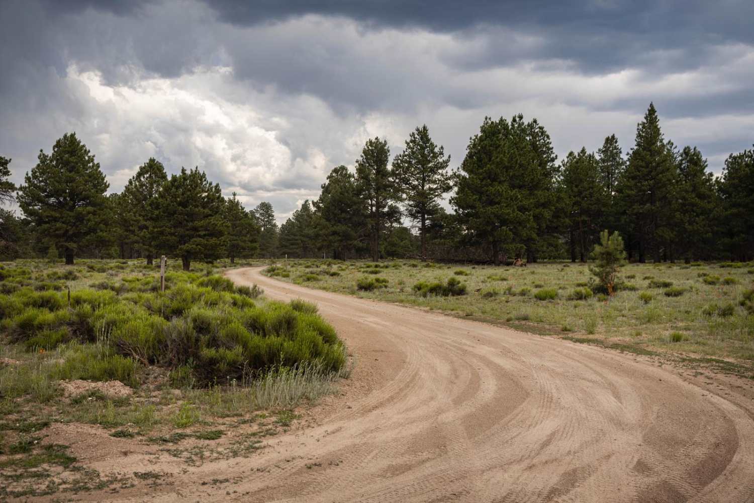
Beale's Wagon Road
Total Miles
2.4
Tech Rating
Easy
Best Time
Spring, Summer, Fall
Learn more about Bear Head Spring Segment
Bear Head Spring Segment
Total Miles
7.4
Tech Rating
Easy
Best Time
Spring
Learn more about Bear Head Springs Segment - FS 609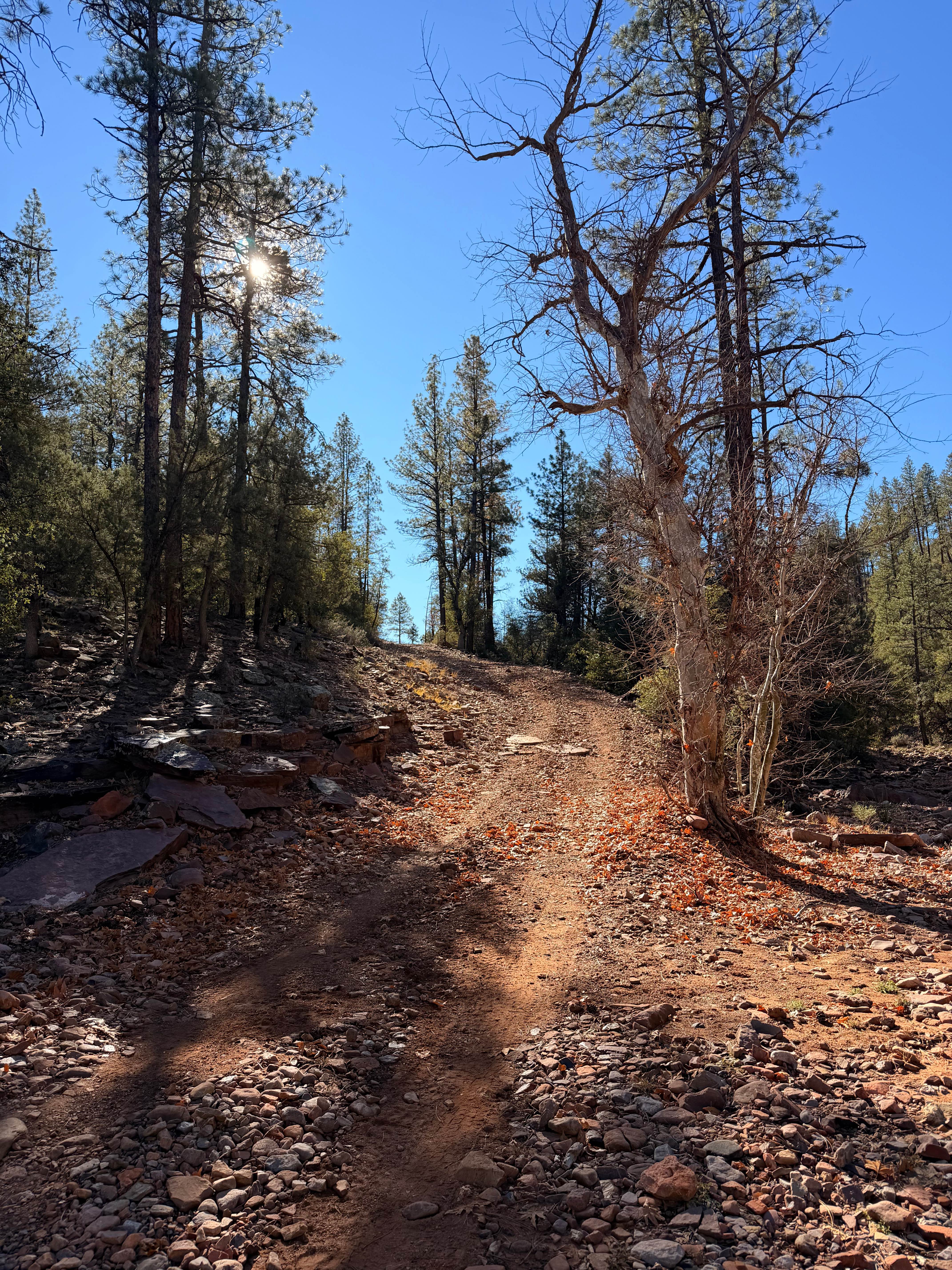
Bear Head Springs Segment - FS 609
Total Miles
18.3
Tech Rating
Easy
Best Time
Summer, Fall
Learn more about Bear Jaw Canyon
Bear Jaw Canyon
Total Miles
2.4
Tech Rating
Easy
Best Time
Spring, Summer, Fall
Learn more about Bear Springs Canyon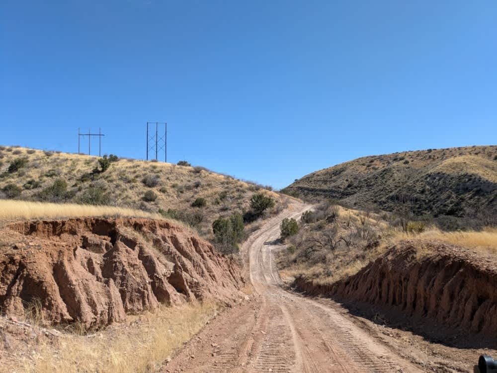
Bear Springs Canyon
Total Miles
4.7
Tech Rating
Easy
Best Time
Spring, Winter, Fall
Learn more about Beasley Flat Road
Beasley Flat Road
Total Miles
2.1
Tech Rating
Easy
Best Time
Spring, Summer, Fall, Winter
Learn more about Beehive Rock 
Beehive Rock
Total Miles
2.2
Tech Rating
Easy
Best Time
Winter, Fall, Spring
Learn more about Beeline Bypass
Beeline Bypass
Total Miles
4.4
Tech Rating
Moderate
Best Time
Spring, Summer, Fall, Winter
Learn more about Beer Bottle Wash
Beer Bottle Wash
Total Miles
5.5
Tech Rating
Easy
Best Time
Spring, Summer, Fall, Winter
ATV trails in Arizona
Learn more about Scrub Oak Bypass 
Scrub Oak Bypass
Total Miles
0.5
Tech Rating
Easy
Best Time
Spring, Summer, Fall


UTV/side-by-side trails in Arizona
Learn more about Scrub Oak Bypass
Scrub Oak Bypass
Total Miles
0.5
Tech Rating
Easy
Best Time
Spring, Summer, Fall
The onX Offroad Difference
onX Offroad combines trail photos, descriptions, difficulty ratings, width restrictions, seasonality, and more in a user-friendly interface. Available on all devices, with offline access and full compatibility with CarPlay and Android Auto. Discover what you’re missing today!