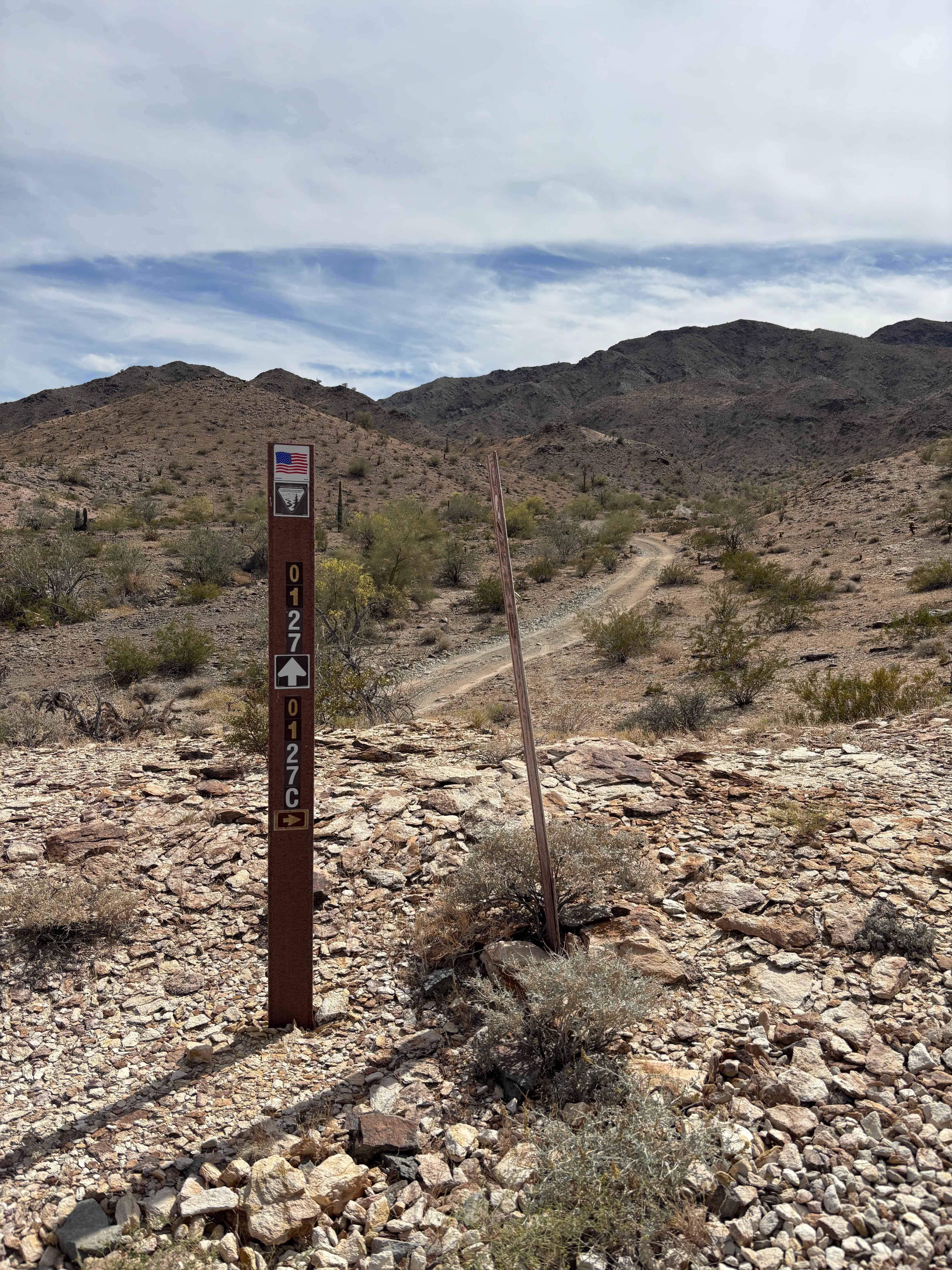
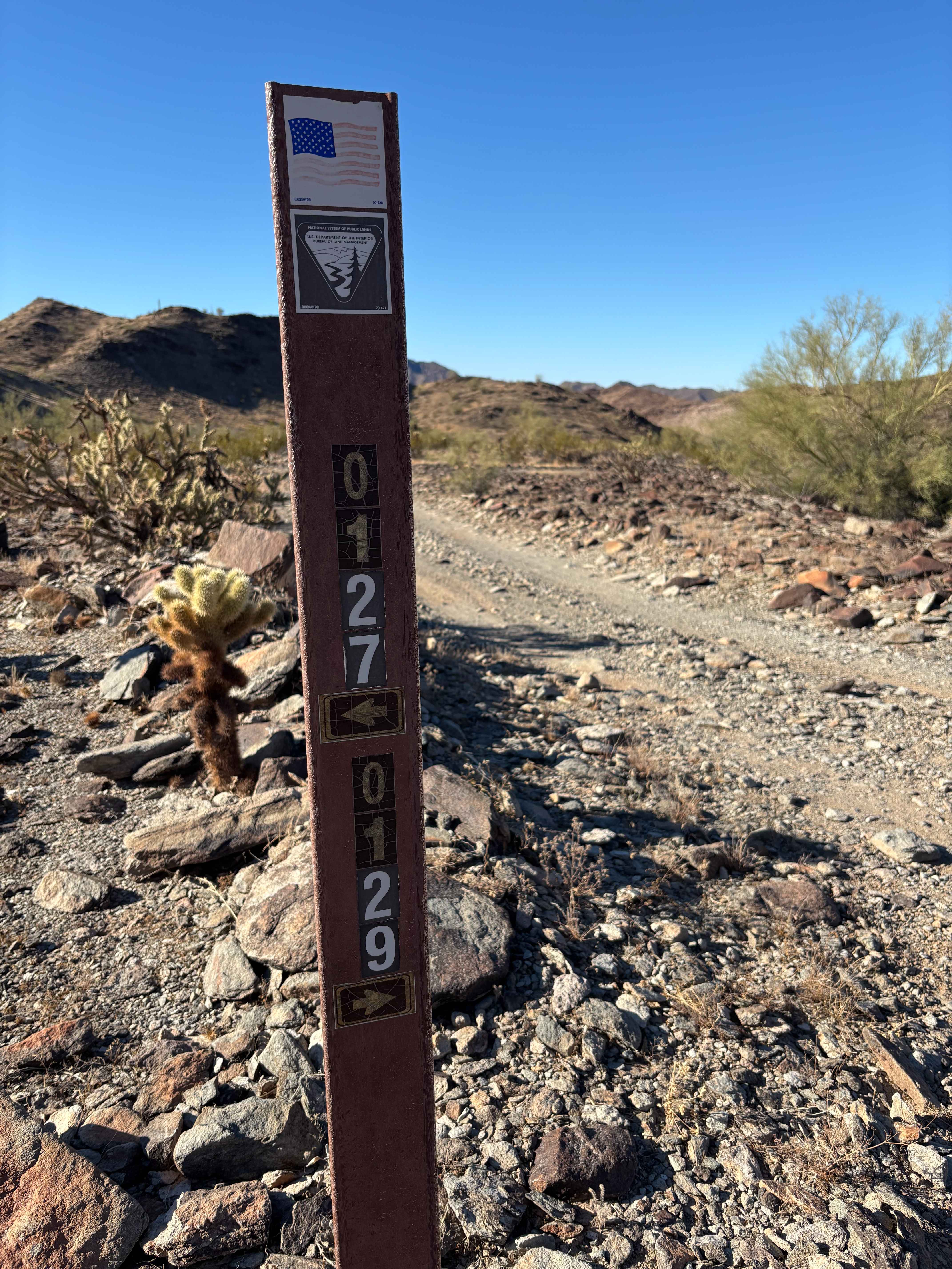
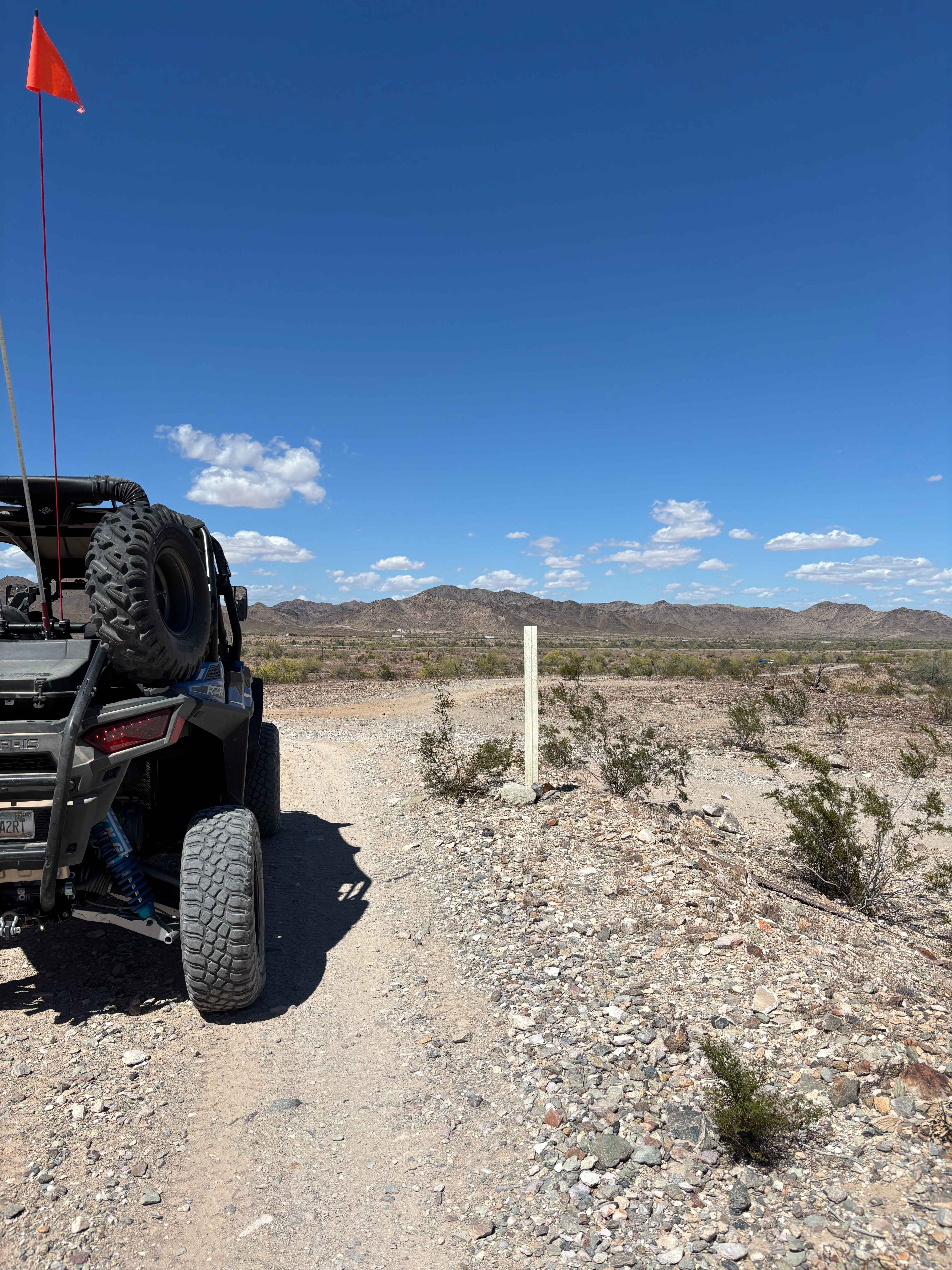
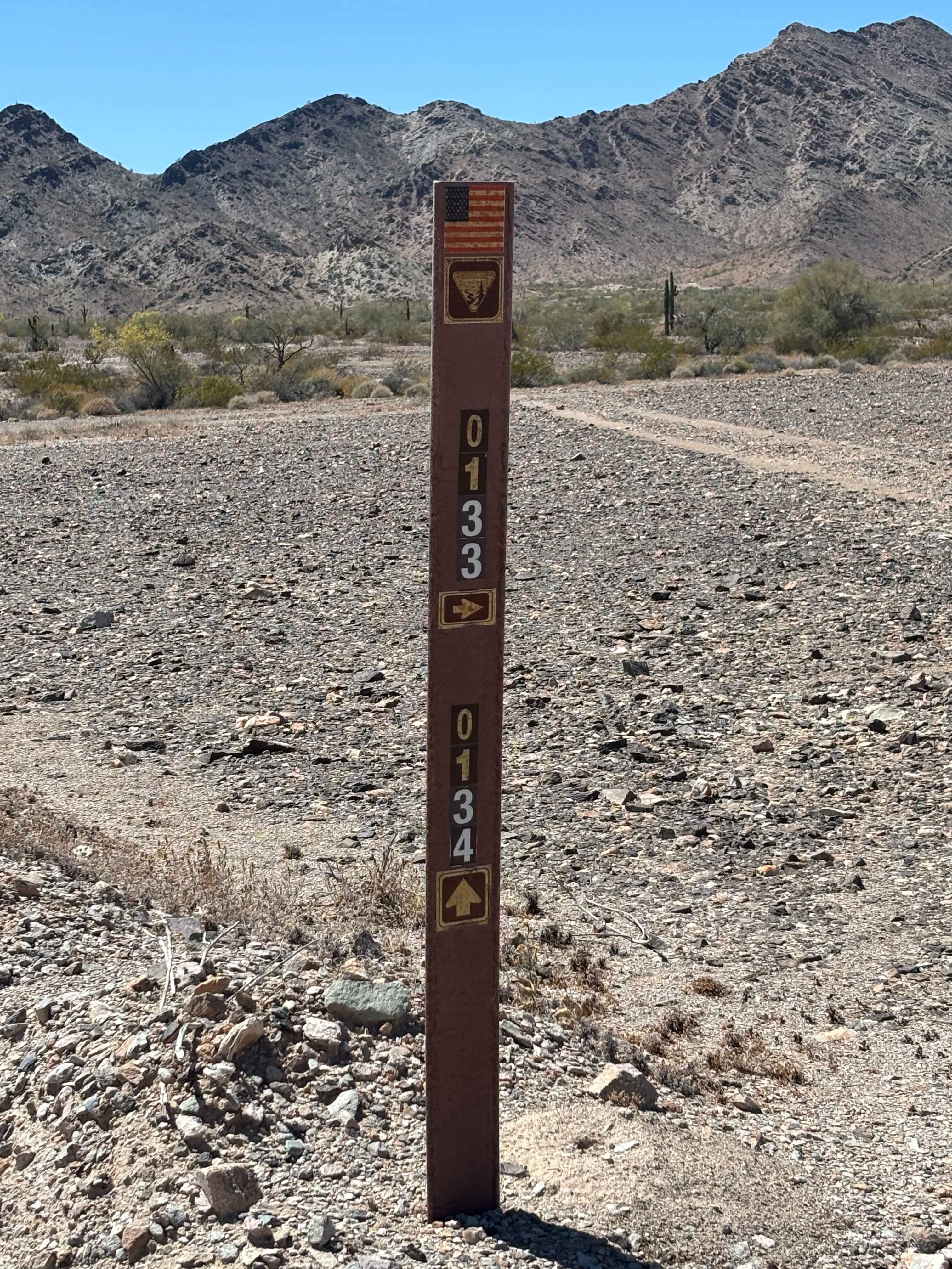
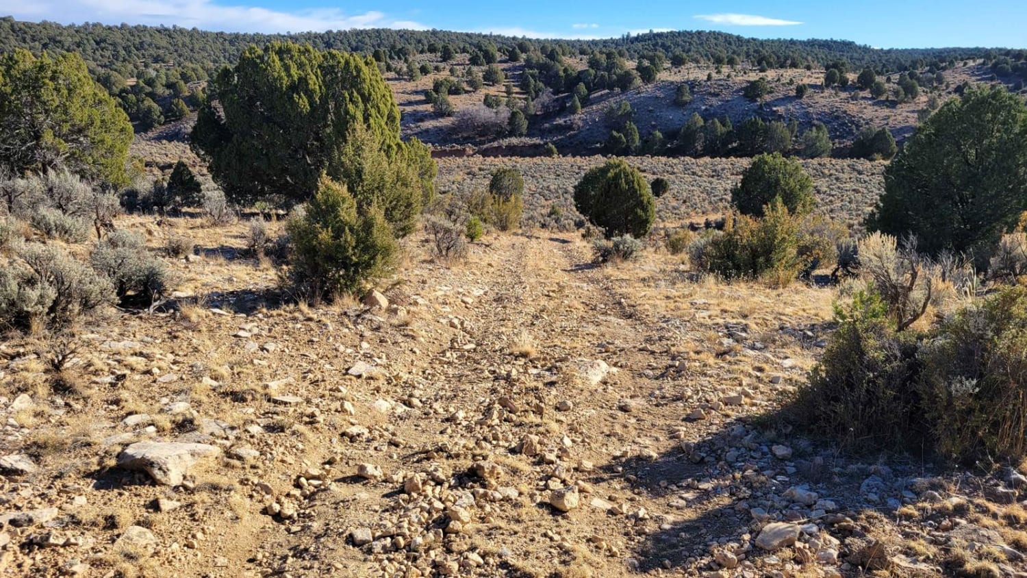
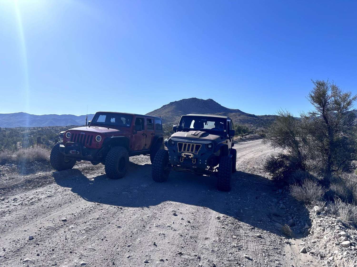
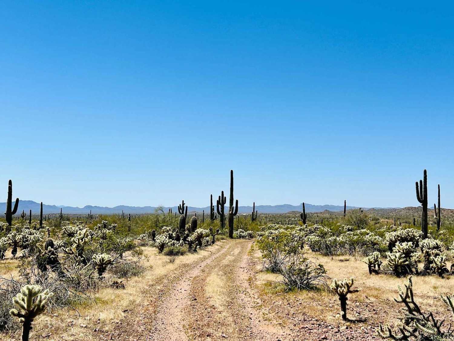
Off-Road Trails in Arizona
Discover off-road trails in Arizona
Learn more about BLM 1025 to House Rock Road
BLM 1025 to House Rock Road
Total Miles
23.3
Tech Rating
Easy
Best Time
Spring, Summer, Fall
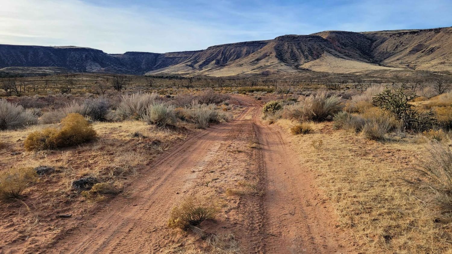
Learn more about BLM 1395 " The Cutover"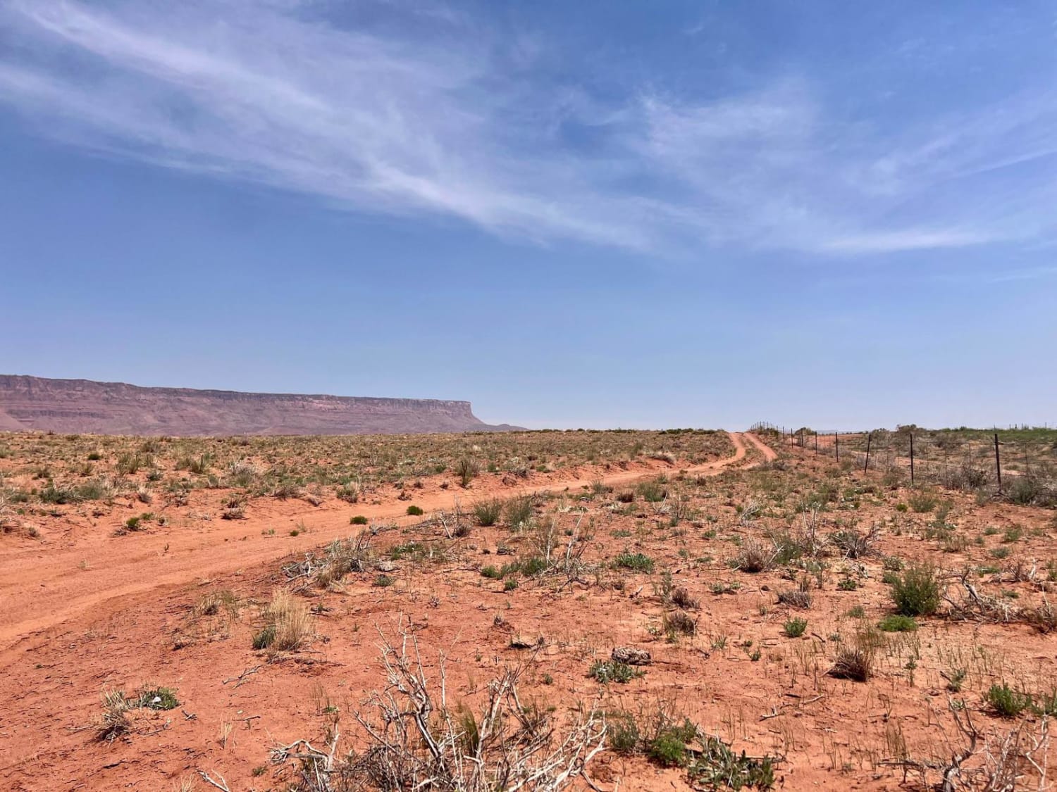
BLM 1395 " The Cutover"
Total Miles
1.5
Tech Rating
Easy
Best Time
Spring, Fall
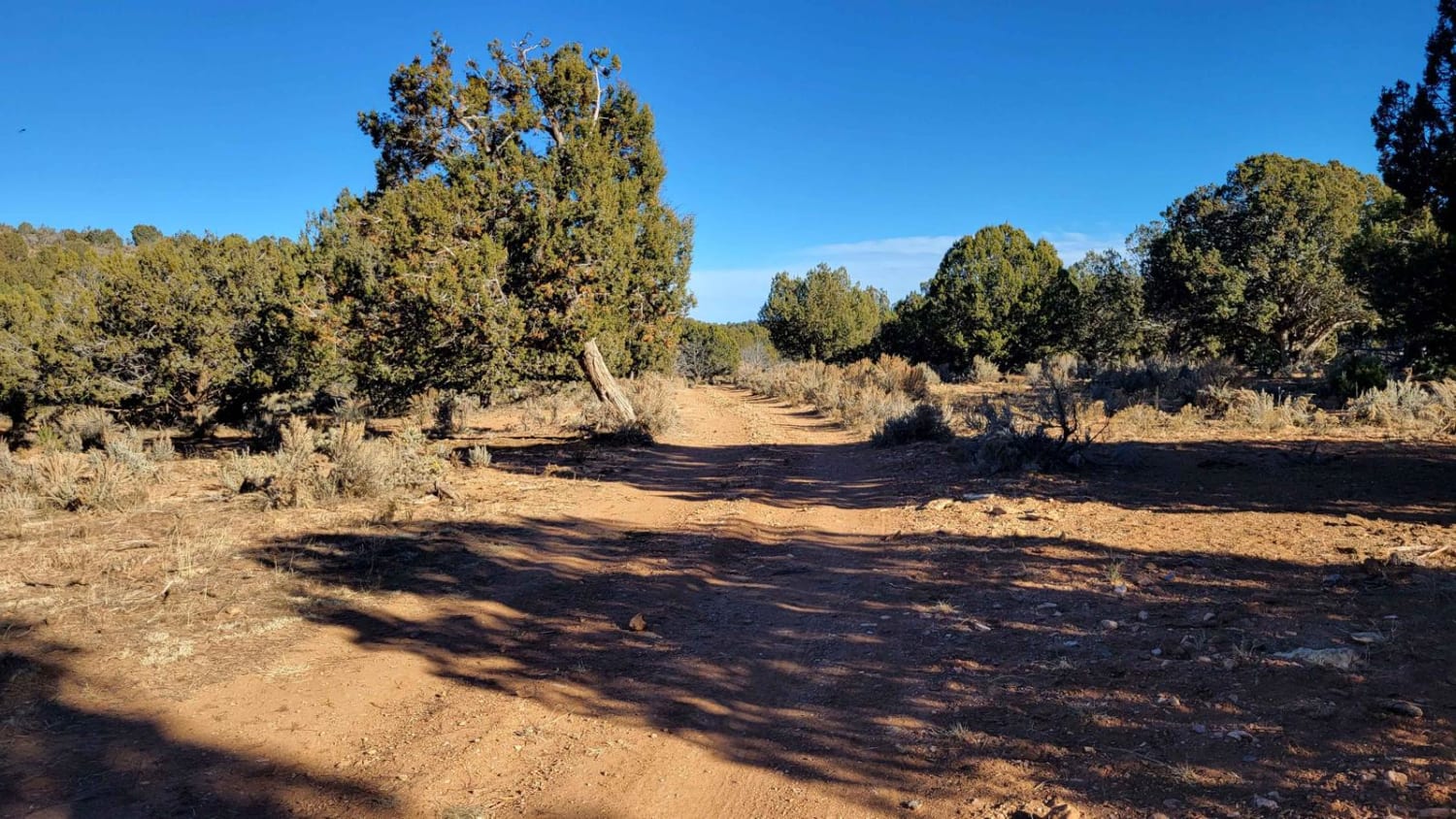
Learn more about BLM 2080/Sand Ridge 1055
BLM 2080/Sand Ridge 1055
Total Miles
11.6
Tech Rating
Easy
Best Time
Spring, Summer, Fall, Winter
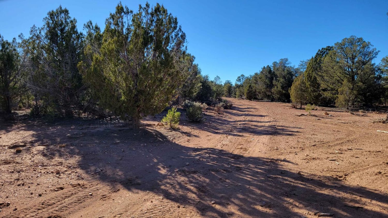
Learn more about BLM 2086A
BLM 2086A
Total Miles
3.5
Tech Rating
Easy
Best Time
Spring, Summer, Fall, Winter
Learn more about BLM 28063
BLM 28063
Total Miles
1.1
Tech Rating
Easy
Best Time
Spring, Summer, Fall, Winter

Learn more about BLM 7184
BLM 7184
Total Miles
6.1
Tech Rating
Moderate
Best Time
Fall, Spring, Winter, Summer
ATV trails in Arizona
Learn more about Scrub Oak Bypass 
Scrub Oak Bypass
Total Miles
0.5
Tech Rating
Easy
Best Time
Spring, Summer, Fall


UTV/side-by-side trails in Arizona
Learn more about Scrub Oak Bypass
Scrub Oak Bypass
Total Miles
0.5
Tech Rating
Easy
Best Time
Spring, Summer, Fall
The onX Offroad Difference
onX Offroad combines trail photos, descriptions, difficulty ratings, width restrictions, seasonality, and more in a user-friendly interface. Available on all devices, with offline access and full compatibility with CarPlay and Android Auto. Discover what you’re missing today!