Off-Road Trails in Arizona
Discover off-road trails in Arizona
Learn more about Boundary Old 320 Road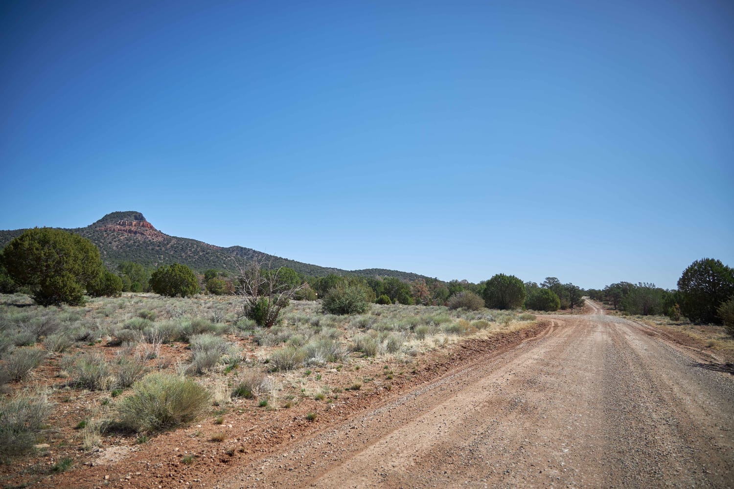
Boundary Old 320 Road
Total Miles
22.4
Tech Rating
Easy
Best Time
Spring, Fall, Summer
Learn more about Bovine Conspiracy
Bovine Conspiracy
Total Miles
2.5
Tech Rating
Easy
Best Time
Spring, Summer, Fall, Winter
Learn more about Box Canyon Access Trail
Box Canyon Access Trail
Total Miles
0.3
Tech Rating
Moderate
Best Time
Winter, Fall, Spring
Learn more about Box Canyon at Hassayampa River
Box Canyon at Hassayampa River
Total Miles
3.5
Tech Rating
Easy
Best Time
Spring, Summer, Fall
Learn more about Box Canyon Road
Box Canyon Road
Total Miles
13.9
Tech Rating
Easy
Best Time
Spring, Summer
Learn more about Box T #511
Box T #511
Total Miles
9.3
Tech Rating
Difficult
Best Time
Spring, Winter, Fall
Learn more about Box Wash 9056
Box Wash 9056
Total Miles
5.8
Tech Rating
Easy
Best Time
Winter, Fall, Spring
Learn more about Boyer Cabin - FS 895A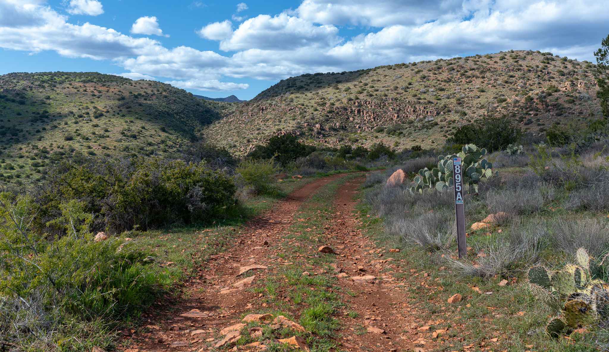
Boyer Cabin - FS 895A
Total Miles
3.9
Tech Rating
Moderate
Best Time
Spring, Fall, Winter
Learn more about Boynton Canyon Road 
Boynton Canyon Road
Total Miles
2.1
Tech Rating
Easy
Best Time
Spring, Fall, Summer, Winter
Learn more about Braddock Creek - FS 3274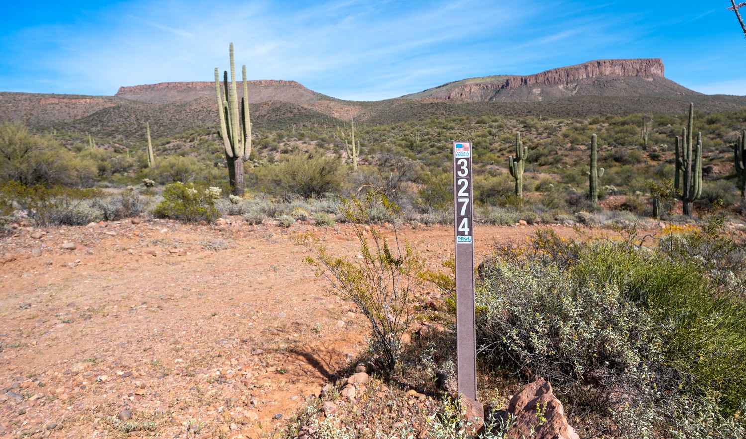
Braddock Creek - FS 3274
Total Miles
1.8
Tech Rating
Easy
Best Time
Spring, Fall, Winter
Learn more about Braddock Creek - FS 9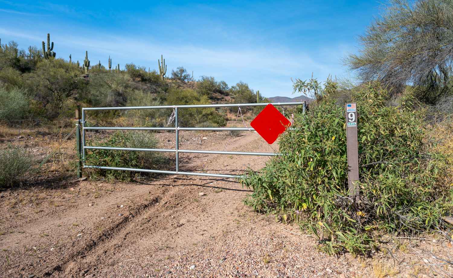
Braddock Creek - FS 9
Total Miles
1.8
Tech Rating
Easy
Best Time
Spring, Fall, Winter

Learn more about Brahma Tank Pass
Brahma Tank Pass
Total Miles
5.5
Tech Rating
Moderate
Best Time
Winter, Fall, Spring
Learn more about Bravo Wednesday
Bravo Wednesday
Total Miles
6.2
Tech Rating
Easy
Best Time
Spring, Summer, Fall
Learn more about Breezy Pines Road
Breezy Pines Road
Total Miles
9.7
Tech Rating
Easy
Best Time
Spring, Summer, Fall
ATV trails in Arizona
Learn more about Scrub Oak Bypass 
Scrub Oak Bypass
Total Miles
0.5
Tech Rating
Easy
Best Time
Spring, Summer, Fall


UTV/side-by-side trails in Arizona
Learn more about Scrub Oak Bypass
Scrub Oak Bypass
Total Miles
0.5
Tech Rating
Easy
Best Time
Spring, Summer, Fall
The onX Offroad Difference
onX Offroad combines trail photos, descriptions, difficulty ratings, width restrictions, seasonality, and more in a user-friendly interface. Available on all devices, with offline access and full compatibility with CarPlay and Android Auto. Discover what you’re missing today!