Off-Road Trails in Arizona
Discover off-road trails in Arizona
Learn more about Casner Mountain Trail
Casner Mountain Trail
Total Miles
6.6
Tech Rating
Moderate
Best Time
Spring, Summer, Fall
Learn more about Castaneda Hills
Castaneda Hills
Total Miles
8.8
Tech Rating
Easy
Best Time
Spring, Fall, Winter
Learn more about Castle Dome Mine to Big Eye Mine
Castle Dome Mine to Big Eye Mine
Total Miles
16.3
Tech Rating
Moderate
Best Time
Spring, Fall, Winter
Learn more about Castle Dome Mountains
Castle Dome Mountains
Total Miles
24.2
Tech Rating
Moderate
Best Time
Fall, Winter, Spring
Learn more about Castle Hot Springs Road
Castle Hot Springs Road
Total Miles
35.6
Tech Rating
Easy
Best Time
Summer, Fall, Spring
Learn more about Castle Rock Tank Loop
Castle Rock Tank Loop
Total Miles
5.7
Tech Rating
Easy
Best Time
Spring, Winter, Fall
Learn more about Cathedral Rock West Camp
Cathedral Rock West Camp
Total Miles
1.6
Tech Rating
Easy
Best Time
Spring, Fall
Learn more about Cattail Cove
Cattail Cove
Total Miles
7.7
Tech Rating
Moderate
Best Time
Fall, Winter, Spring
Learn more about Cattle Cactus Crawl
Cattle Cactus Crawl
Total Miles
5.2
Tech Rating
Easy
Best Time
Spring, Fall, Winter
Learn more about Cattle Tank to Washout 1
Cattle Tank to Washout 1
Total Miles
1.6
Tech Rating
Easy
Best Time
Spring, Fall, Winter
Learn more about Cave Creek Road
Cave Creek Road
Total Miles
14.4
Tech Rating
Easy
Best Time
Spring, Fall, Winter
Learn more about Cave Mine Mountain Site
Cave Mine Mountain Site
Total Miles
1.0
Tech Rating
Easy
Best Time
Spring, Fall
Learn more about CC Craigin (Blue Ridge) Reservoir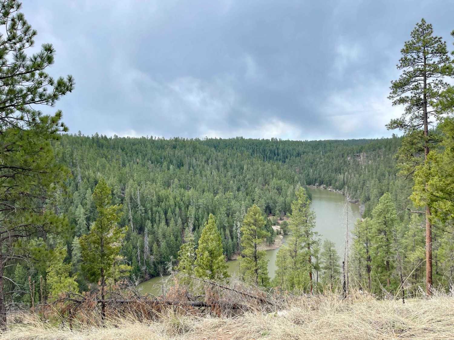
CC Craigin (Blue Ridge) Reservoir
Total Miles
5.8
Tech Rating
Easy
Best Time
Summer, Spring, Fall
Learn more about Cedar Flat- West FS 214
Cedar Flat- West FS 214
Total Miles
10.8
Tech Rating
Easy
Best Time
Spring, Summer, Fall
Learn more about Cedar Mesa - FS 322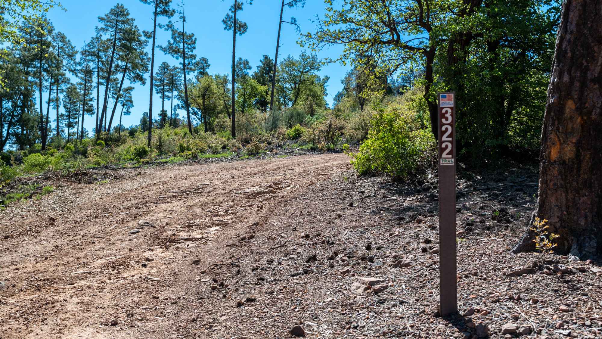
Cedar Mesa - FS 322
Total Miles
2.5
Tech Rating
Easy
Best Time
Spring, Summer, Fall, Winter
Learn more about Cedar Mountain 1094 
Cedar Mountain 1094
Total Miles
6.8
Tech Rating
Easy
Best Time
Spring, Winter, Fall
ATV trails in Arizona
Learn more about Scrub Oak Bypass 
Scrub Oak Bypass
Total Miles
0.5
Tech Rating
Easy
Best Time
Spring, Summer, Fall


UTV/side-by-side trails in Arizona
Learn more about Scrub Oak Bypass
Scrub Oak Bypass
Total Miles
0.5
Tech Rating
Easy
Best Time
Spring, Summer, Fall
The onX Offroad Difference
onX Offroad combines trail photos, descriptions, difficulty ratings, width restrictions, seasonality, and more in a user-friendly interface. Available on all devices, with offline access and full compatibility with CarPlay and Android Auto. Discover what you’re missing today!