Casner Mountain Trail
Total Miles
6.6
Technical Rating
Best Time
Spring, Summer, Fall
Trail Type
High-Clearance 4x4 Trail
Accessible By
Trail Overview
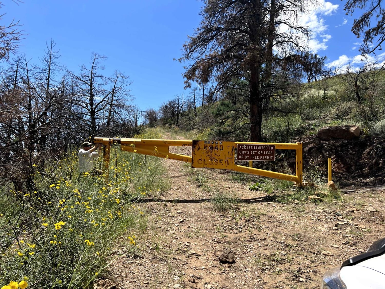
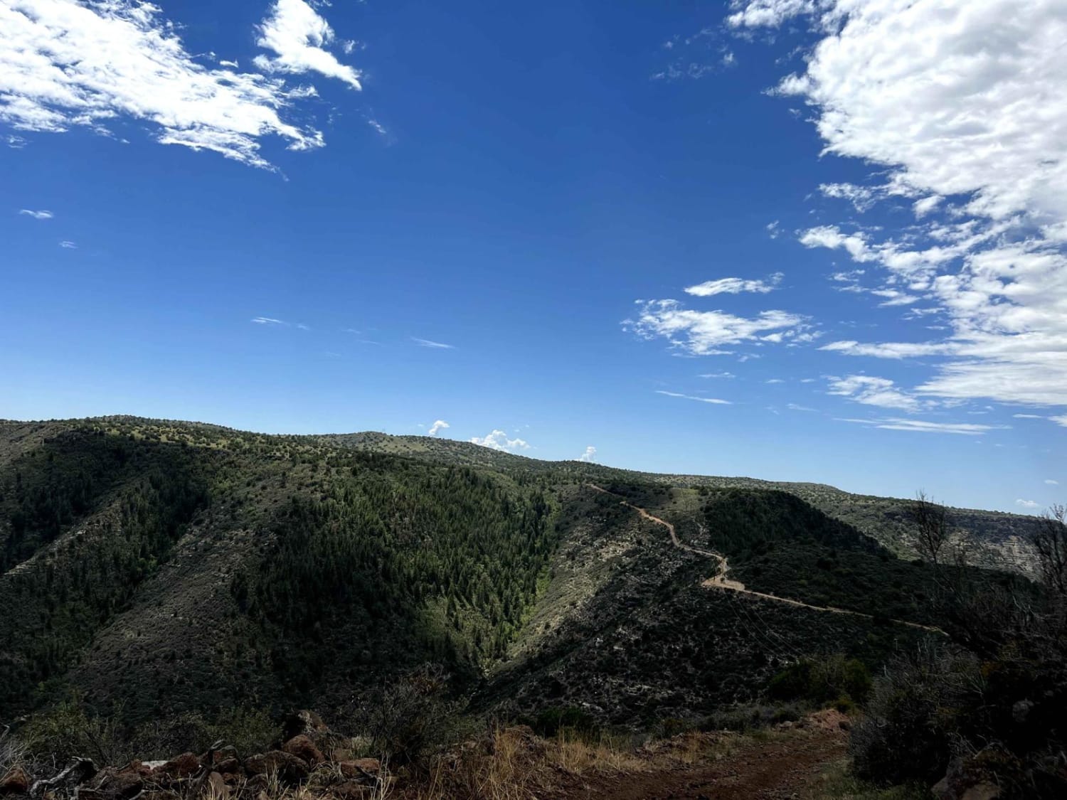
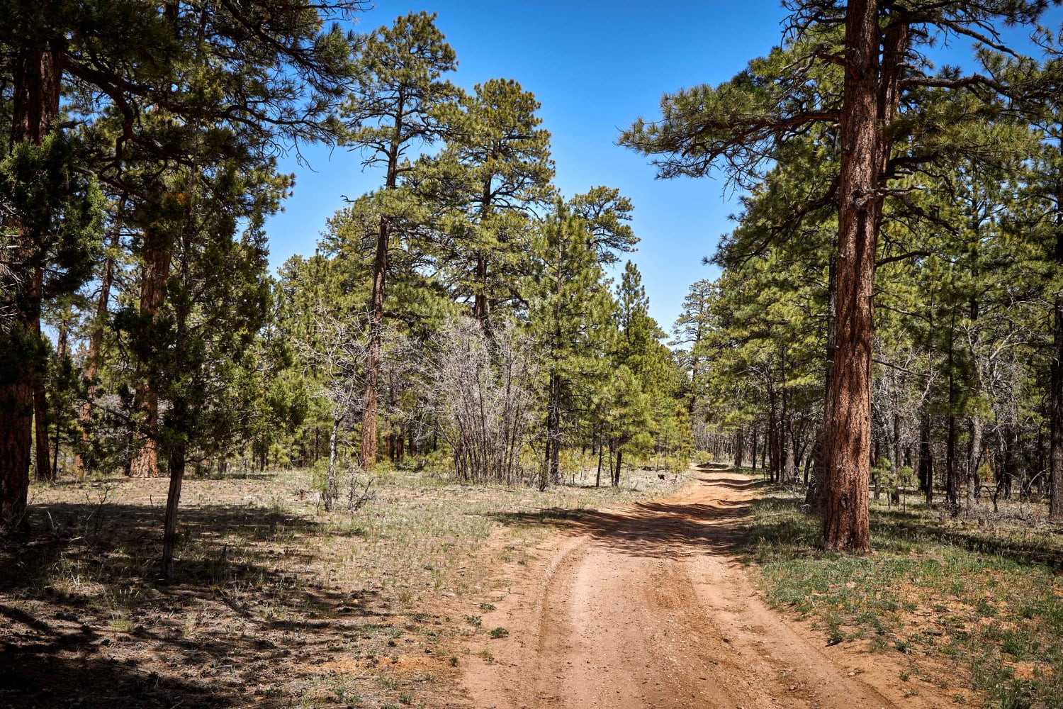
The north-to-south route provides possibly the best views of the Sedona Red Rocks and surrounding areas than any other trail. When traveling from south to north, the lower part of the trail becomes more technical than the reverse route. The switchbacks at the southernmost part of the trail take you on a steep climb from 4,364 feet to 6,821 feet in elevation on top of Casner Mountain, requiring high-clearance 4WDs. This trail is extremely narrow and primitive, so keep your eyes on the trail and bring your rig to a stop to enjoy the views. This trail requires a Coconino National Forest Permit issued twice a year on a first-come, first-serve basis. Please contact the Red Rock Ranger Station for procedures.
Photos of Casner Mountain Trail
Difficulty
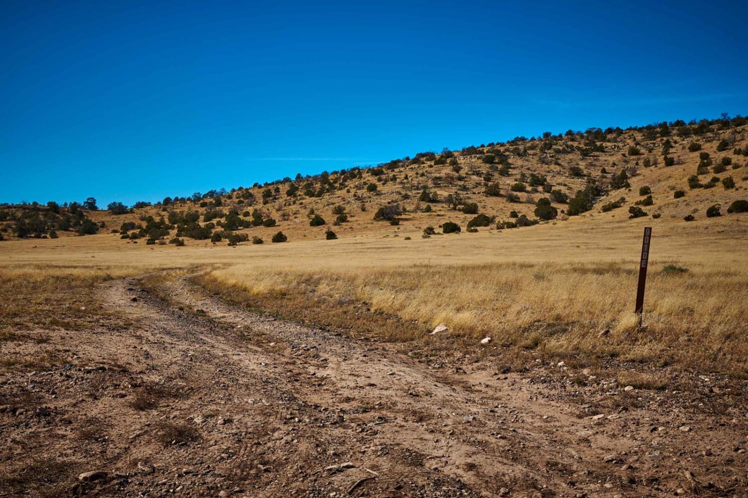
The top of the trail runs the entire mountain ridge with terrain similar to any powerline road, while the southernmost part of the trail has a series of switchbacks and ledges. When headed south to north, the trail is more technical, requiring navigation over steep grades and terrain made of large rocks and loose materials warranting the rating. Note that getting to the north gate of the trail requires traveling over more undulating terrain, washes, and forest roads.
Status Reports
Casner Mountain Trail can be accessed by the following ride types:
- High-Clearance 4x4
- SxS (60")
- ATV (50")
- Dirt Bike
Casner Mountain Trail Map
Popular Trails
Lower Scenic Loop Road

Slate Mountain Bypass
Lower Hull Tank Road
The onX Offroad Difference
onX Offroad combines trail photos, descriptions, difficulty ratings, width restrictions, seasonality, and more in a user-friendly interface. Available on all devices, with offline access and full compatibility with CarPlay and Android Auto. Discover what you’re missing today!