Castle Rock Tank Loop
Total Miles
5.7
Technical Rating
Best Time
Spring, Winter, Fall
Trail Type
Full-Width Road
Accessible By
Trail Overview
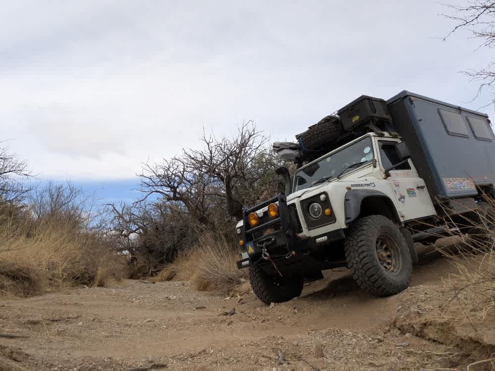
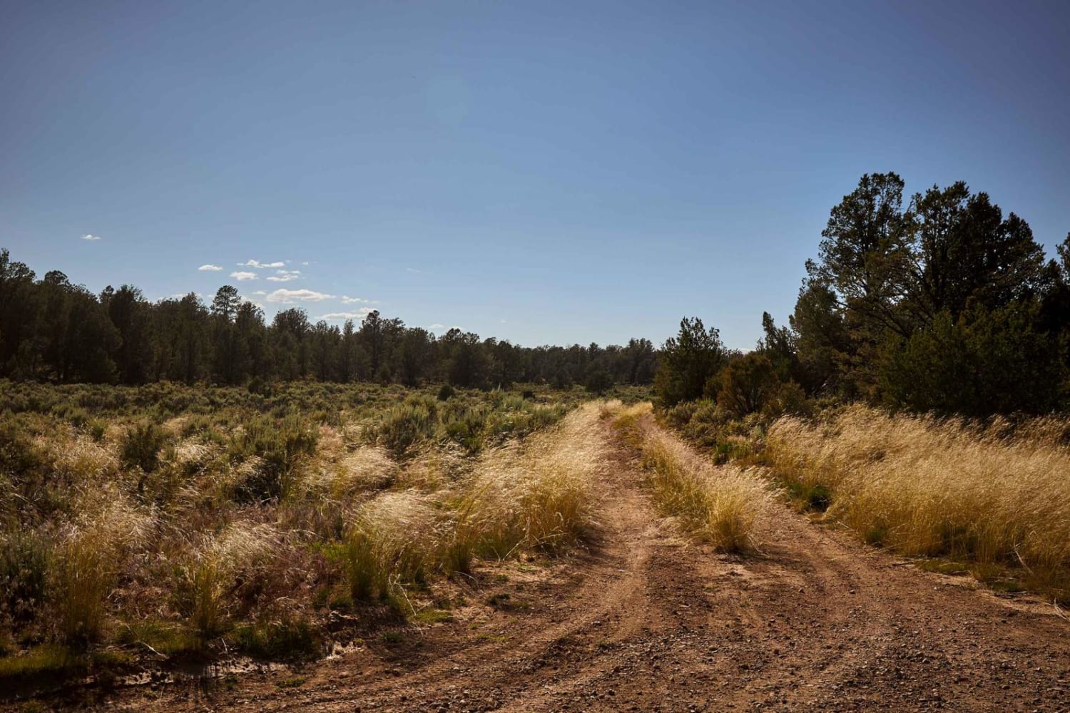
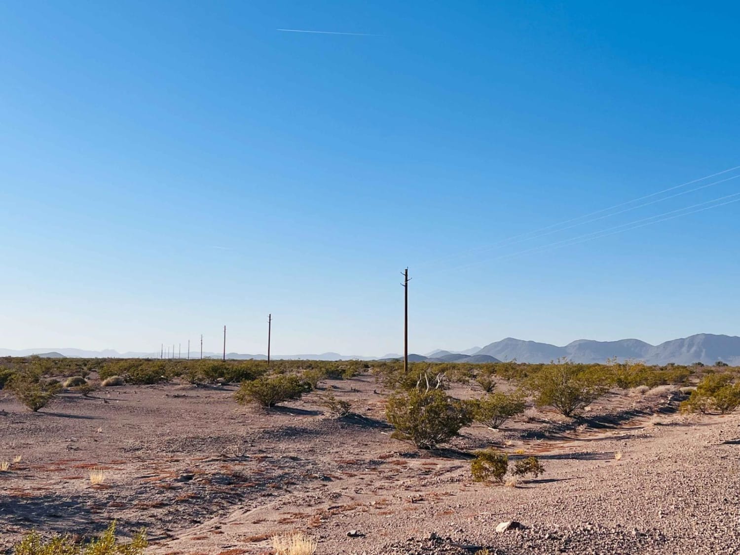
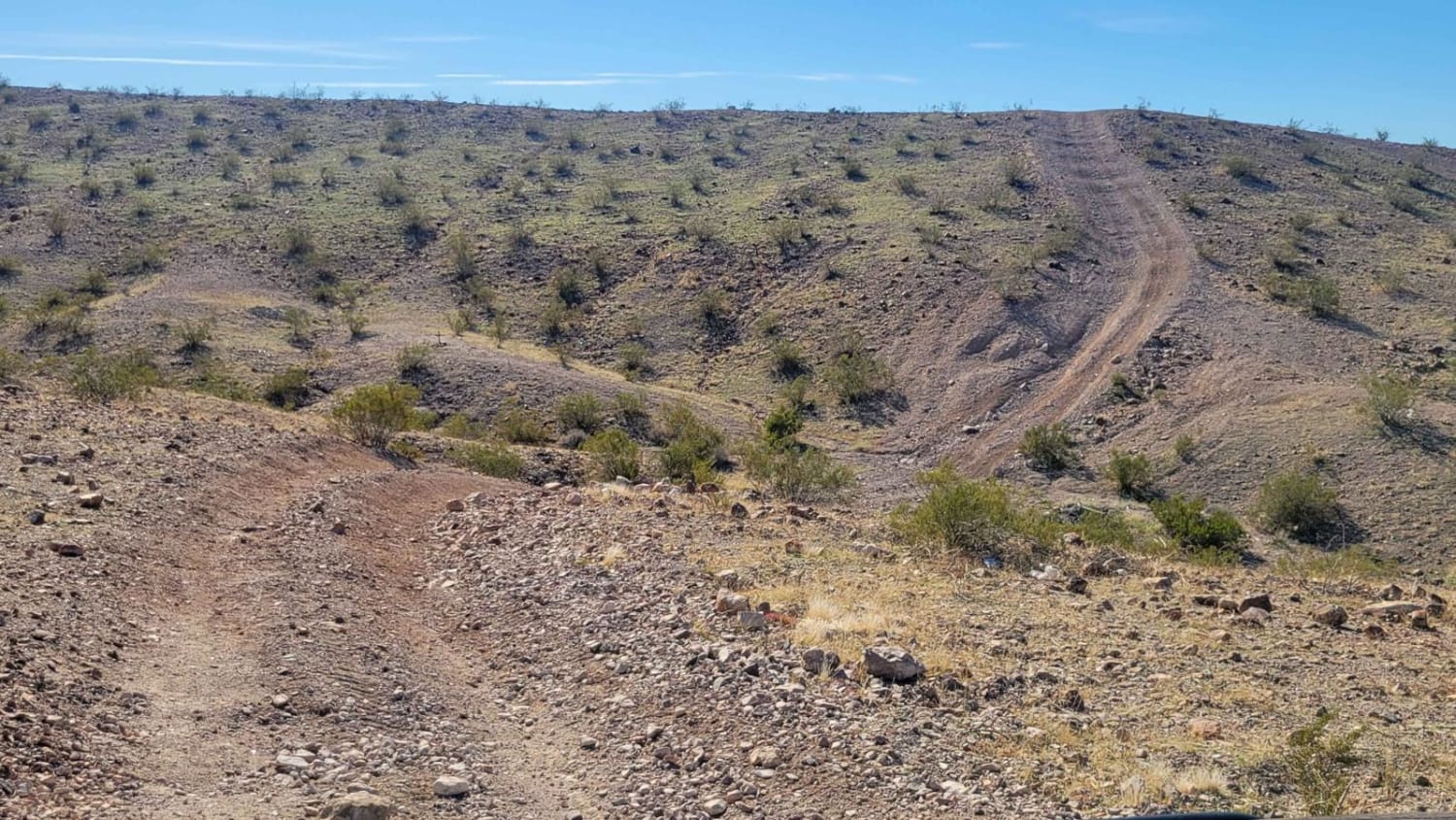
Castle Rock 4115 begins near Buenos Aires and leads into the Coronado National Forest, offering a rugged off-road experience. The trail starts off well-traveled with a heavily corrugated surface before passing a cattle guard, where the road becomes unmaintained. The surrounding landscape is dominated by a dense cactus forest filled with sharp, needle-covered plants. Border Patrol vehicles frequently patrol this route, and as the trail progresses, it becomes increasingly off-camber and narrow, winding through thick mesquite trees that make pinstriping unavoidable. Heavy rains can create deep washes, posing a challenge for vehicles attempting to navigate the route. The trail eventually dead-ends at a closed gate with a sign indicating access is restricted to service vehicles. While an alternative path exists, a large, potentially impassable wash blocks access to the connecting road, requiring a turnaround and a return along the same route. Cattle are a common sight throughout the area, adding to the untamed nature of the trail. The trail lacks amenities such as trash disposal, water supply, and there is cell service.
Photos of Castle Rock Tank Loop

Difficulty
Good dirt road but may be more difficult to traverse after rain. This is a single track.
Status Reports
Castle Rock Tank Loop can be accessed by the following ride types:
- High-Clearance 4x4
- SUV
- SxS (60")
- ATV (50")
- Dirt Bike
Castle Rock Tank Loop Map
Popular Trails
AZ Peace Trail Hovatter to Vicksburg Road
AZ Peace Trail Spur to Davis Camp (West)

Box Wash 9056
The onX Offroad Difference
onX Offroad combines trail photos, descriptions, difficulty ratings, width restrictions, seasonality, and more in a user-friendly interface. Available on all devices, with offline access and full compatibility with CarPlay and Android Auto. Discover what you’re missing today!