Off-Road Trails in Arizona
Discover off-road trails in Arizona
Learn more about Blue Bell Mine Road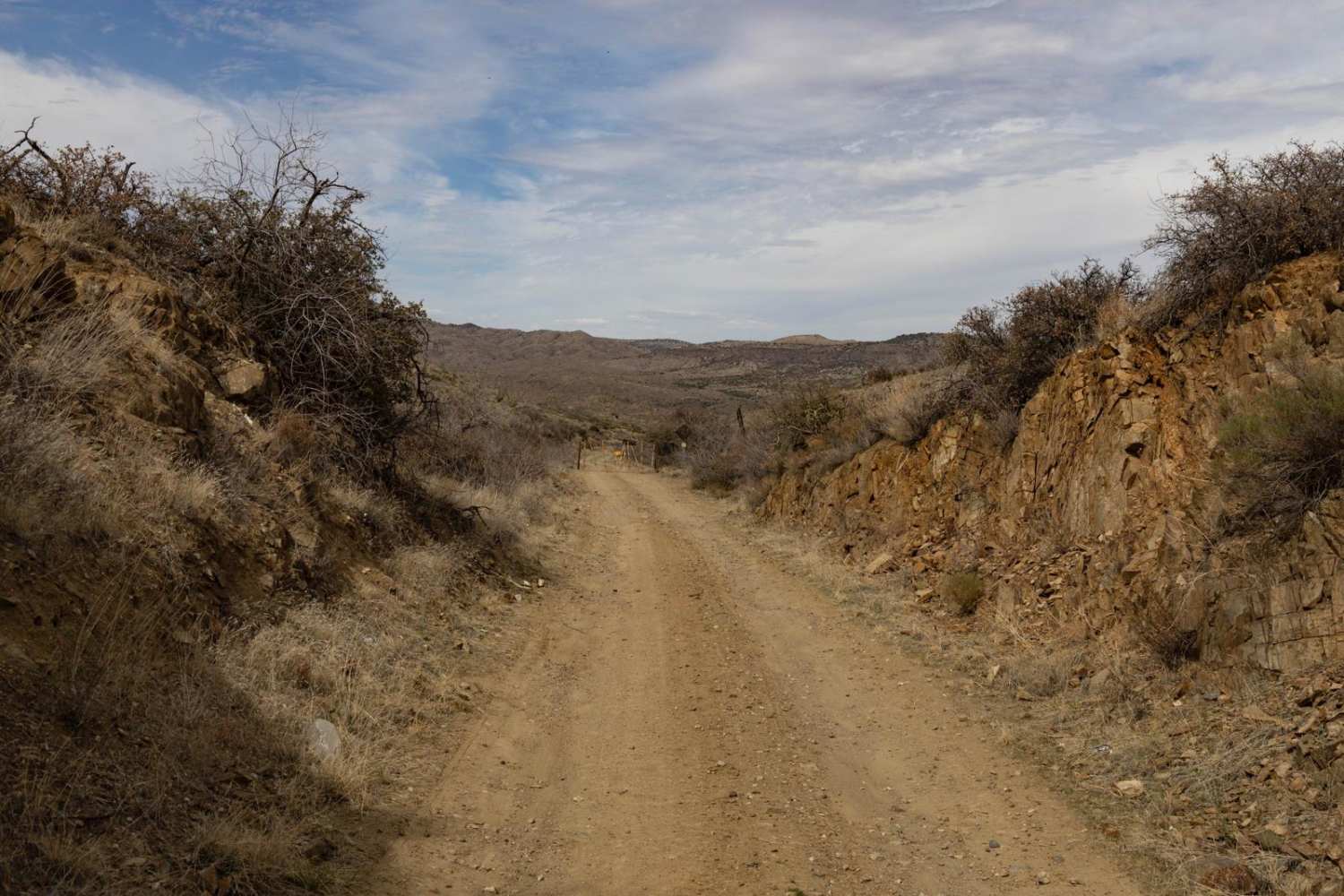
Blue Bell Mine Road
Total Miles
4.9
Tech Rating
Easy
Best Time
Spring, Summer, Fall, Winter
Learn more about Blue Monster
Blue Monster
Total Miles
7.8
Tech Rating
Moderate
Best Time
Spring, Summer, Fall
Learn more about Blue Monster Wash #526 
Blue Monster Wash #526
Total Miles
1.4
Tech Rating
Easy
Best Time
Spring, Fall, Winter
Learn more about Blue Peak Canyon
Blue Peak Canyon
Total Miles
1.7
Tech Rating
Difficult
Best Time
Spring, Fall, Winter
Learn more about Blue Ridge Campground
Blue Ridge Campground
Total Miles
3.5
Tech Rating
Moderate
Best Time
Spring, Summer, Fall
Learn more about Blue Rock Ridge 
Blue Rock Ridge
Total Miles
3.9
Tech Rating
Easy
Best Time
Spring, Summer, Fall, Winter
Learn more about Blue Stem Road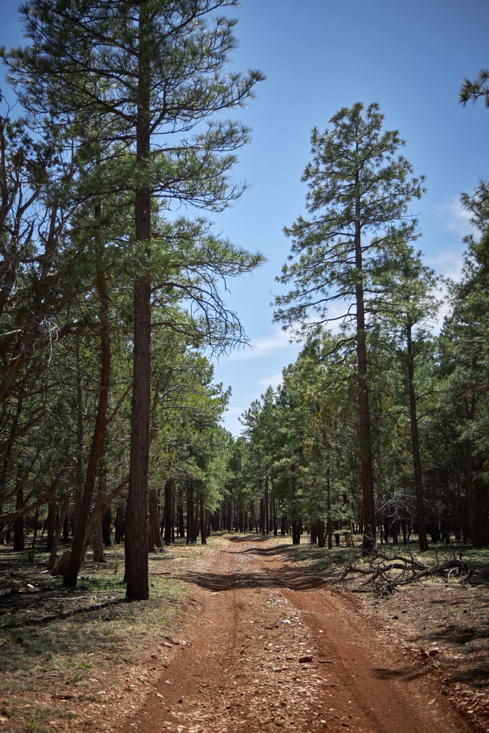
Blue Stem Road
Total Miles
4.9
Tech Rating
Easy
Best Time
Spring, Summer, Fall
Learn more about Blue Tree Road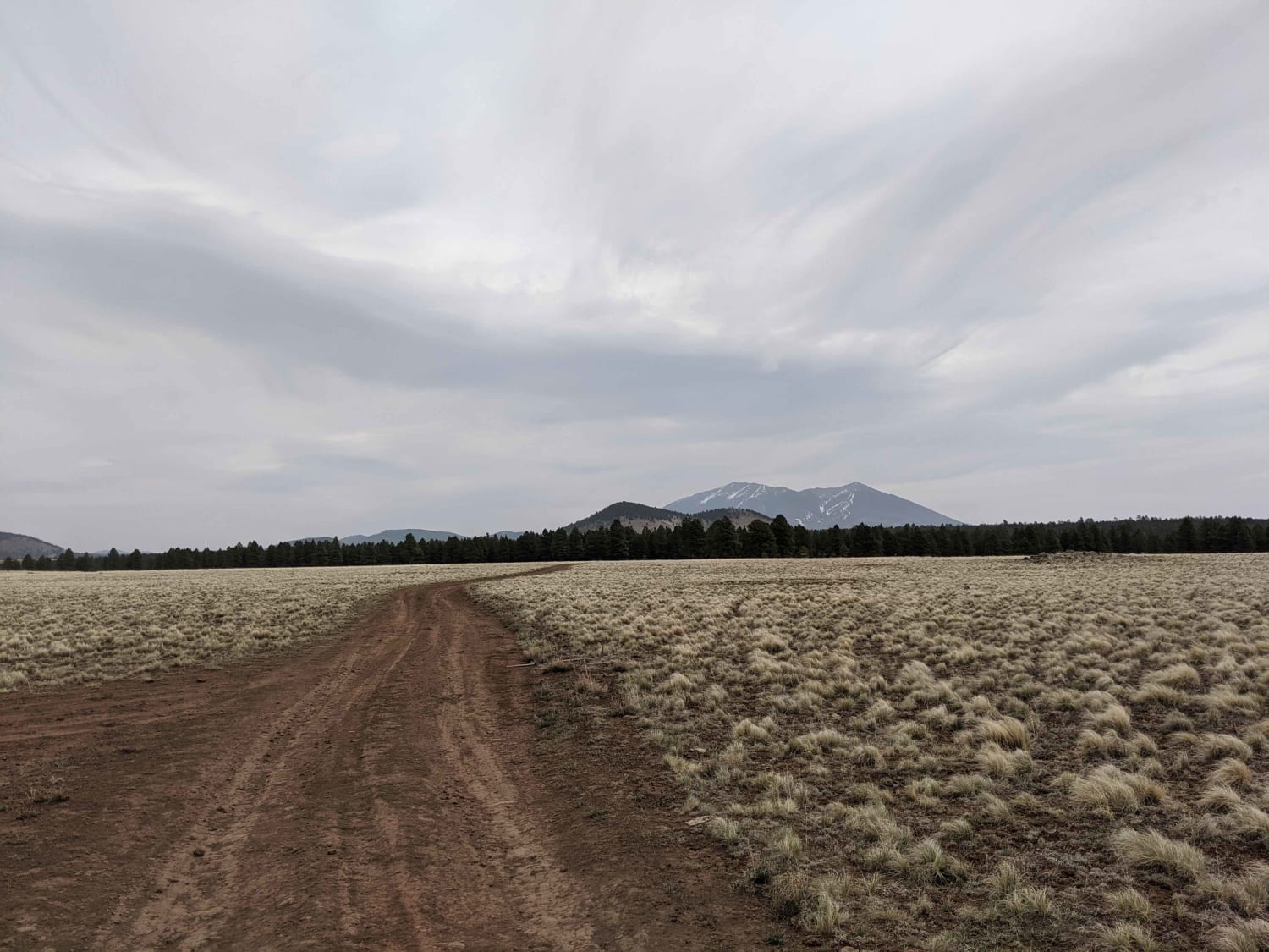
Blue Tree Road
Total Miles
3.9
Tech Rating
Easy
Best Time
Spring, Summer, Fall, Winter
Learn more about Blue Wash Mine
Blue Wash Mine
Total Miles
3.1
Tech Rating
Easy
Best Time
Spring, Fall, Winter
Learn more about Bob E. Tank / 164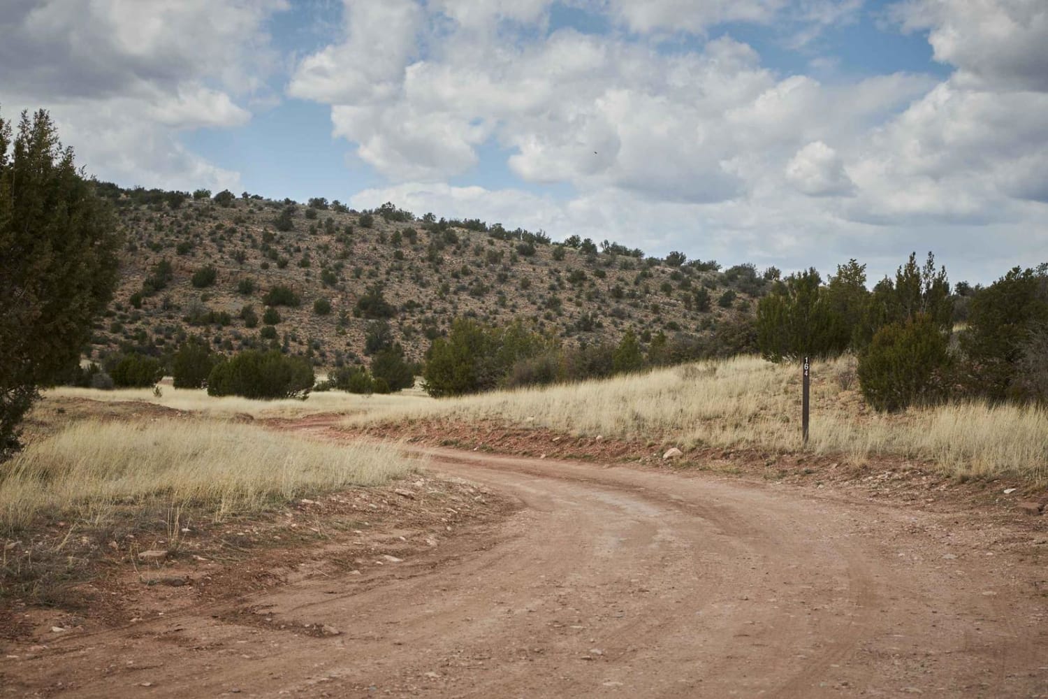
Bob E. Tank / 164
Total Miles
8.8
Tech Rating
Easy
Best Time
Spring, Fall, Winter
Learn more about Bogard Boulevard
Bogard Boulevard
Total Miles
3.7
Tech Rating
Easy
Best Time
Spring, Fall, Winter
Learn more about Bonanza Mine
Bonanza Mine
Total Miles
4.3
Tech Rating
Moderate
Best Time
Spring, Summer, Fall, Winter
Learn more about Bonelli Landing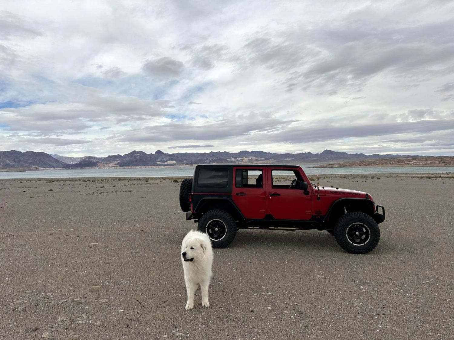
Bonelli Landing
Total Miles
7.3
Tech Rating
Easy
Best Time
Spring, Summer, Fall, Winter
Learn more about Booth Hills Trail
Booth Hills Trail
Total Miles
4.2
Tech Rating
Moderate
Best Time
Spring, Fall, Winter
Learn more about Border Road
Border Road
Total Miles
2.6
Tech Rating
Easy
Best Time
Spring, Summer, Fall, Winter
Learn more about Boulder Creek
Boulder Creek
Total Miles
6.0
Tech Rating
Moderate
Best Time
Spring, Summer, Fall
Learn more about Boulder Gulch
Boulder Gulch
Total Miles
4.1
Tech Rating
Easy
Best Time
Fall, Summer, Spring
Learn more about Boulders ATV 
Boulders ATV
Total Miles
2.8
Tech Rating
Moderate
Best Time
Spring, Fall, Winter
Learn more about Boulders Trail
Boulders Trail
Total Miles
0.5
Tech Rating
Easy
Best Time
Spring, Fall, Winter
Learn more about Boulevard
Boulevard
Total Miles
6.5
Tech Rating
Easy
Best Time
Spring, Summer, Fall, Winter
ATV trails in Arizona
Learn more about Scrub Oak Bypass 
Scrub Oak Bypass
Total Miles
0.5
Tech Rating
Easy
Best Time
Spring, Summer, Fall


UTV/side-by-side trails in Arizona
Learn more about Scrub Oak Bypass
Scrub Oak Bypass
Total Miles
0.5
Tech Rating
Easy
Best Time
Spring, Summer, Fall
The onX Offroad Difference
onX Offroad combines trail photos, descriptions, difficulty ratings, width restrictions, seasonality, and more in a user-friendly interface. Available on all devices, with offline access and full compatibility with CarPlay and Android Auto. Discover what you’re missing today!