Trail Overview
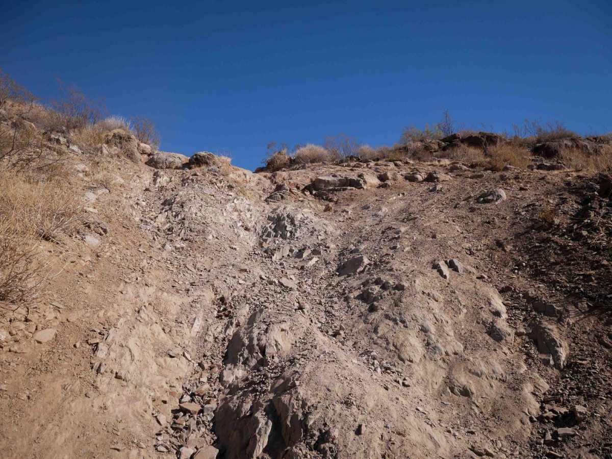
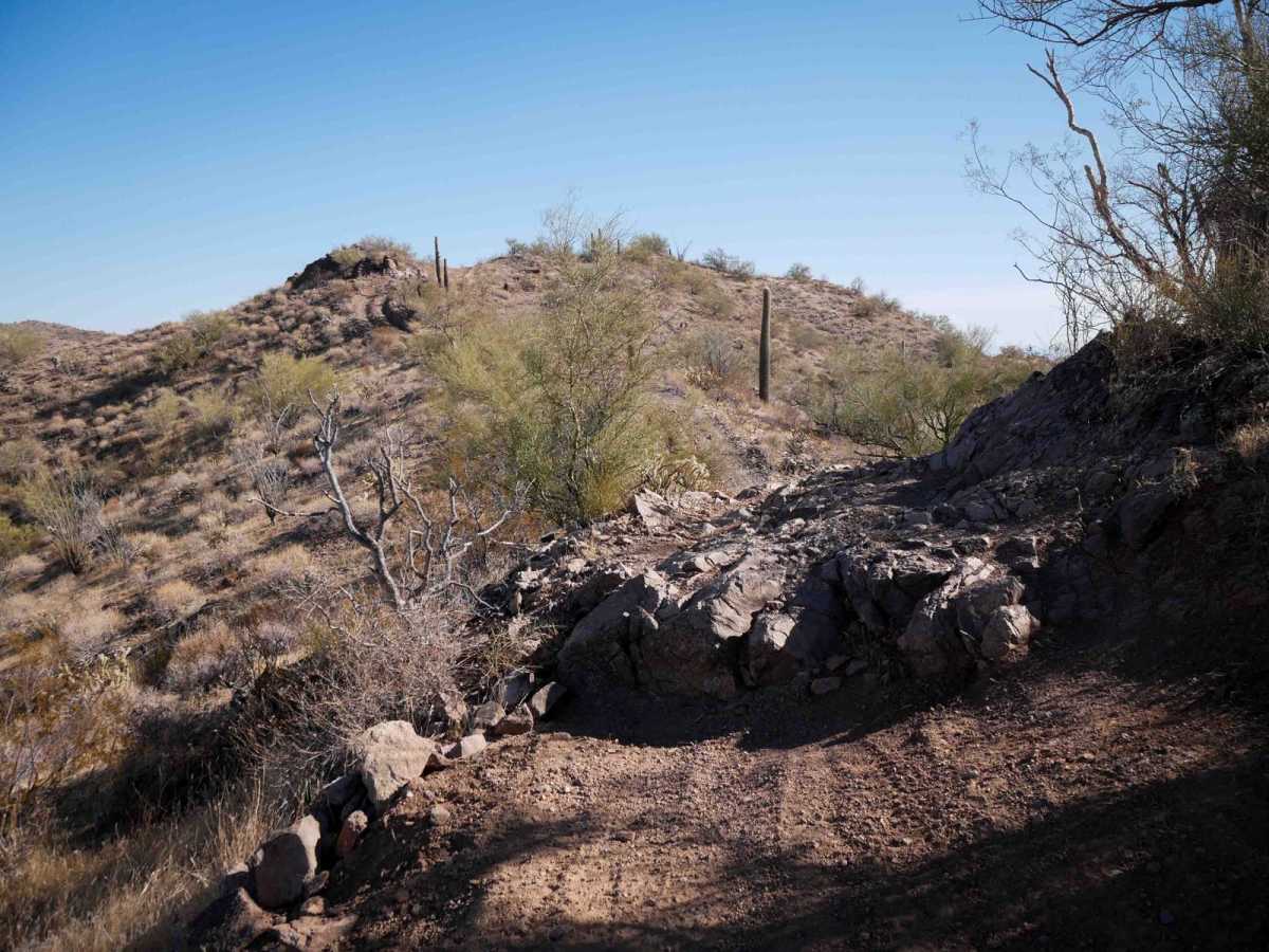
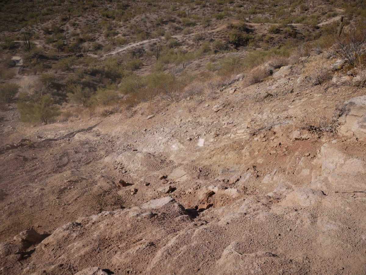
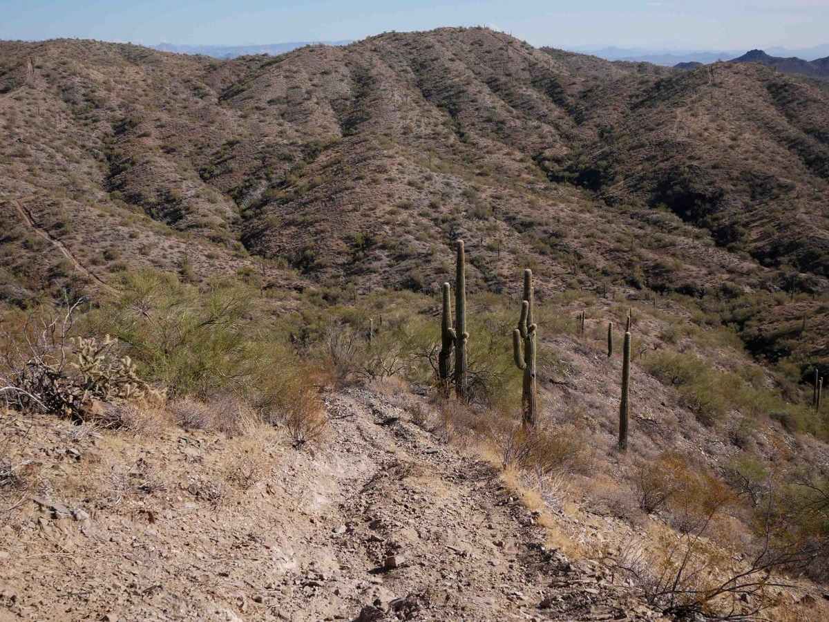
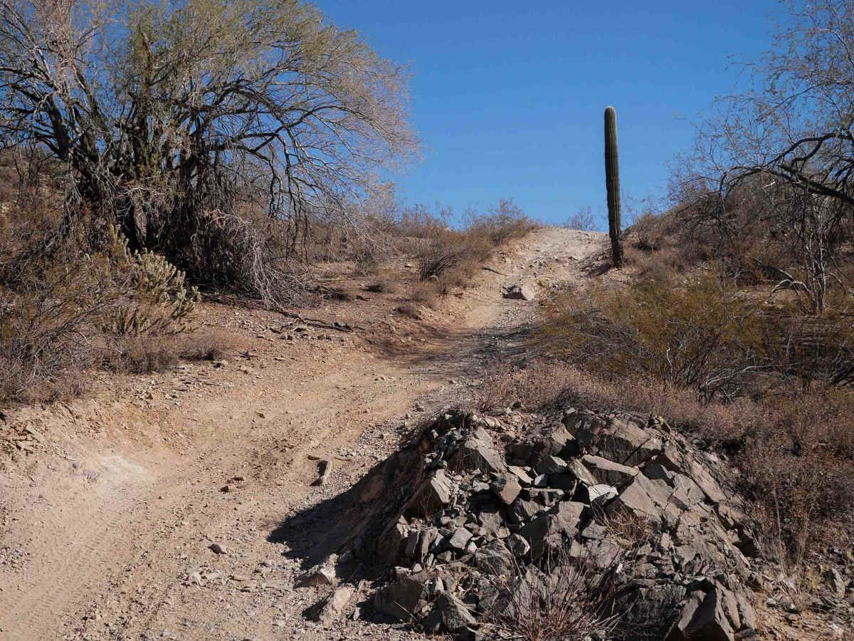
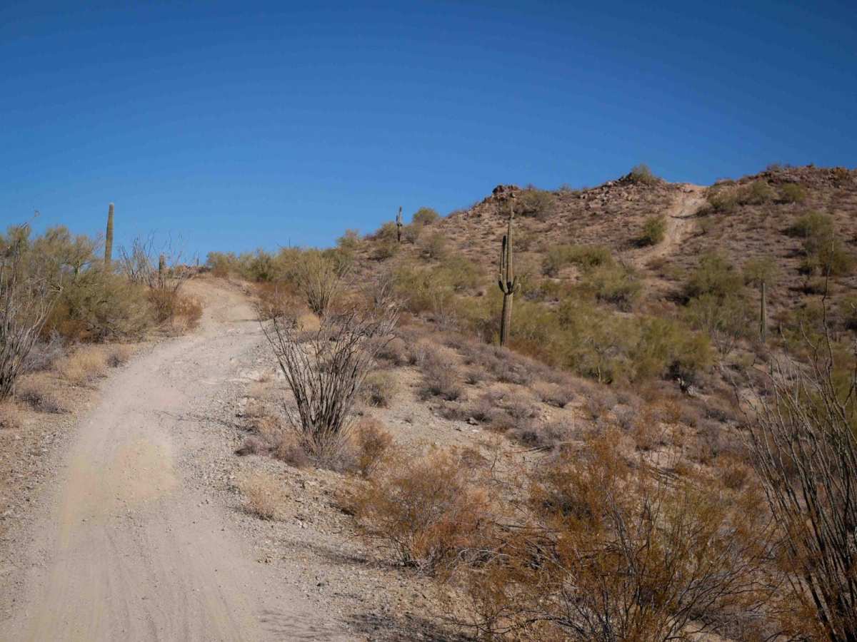
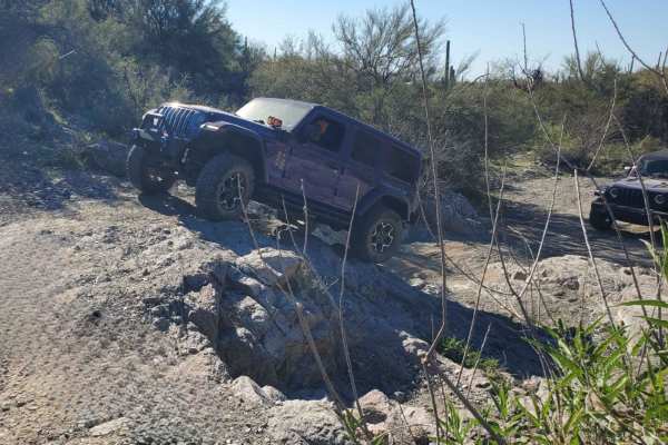
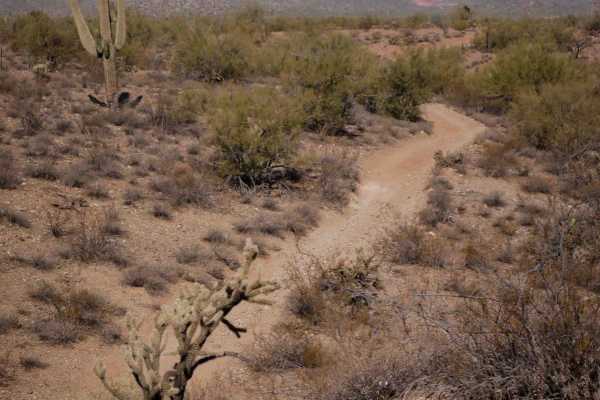
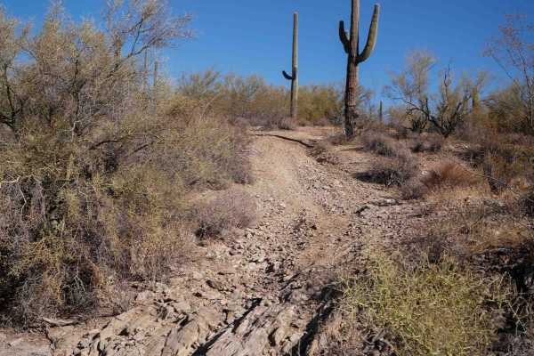
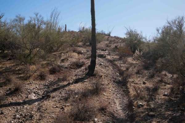
This is an intermediate ATV trail through the Boulders OHV Area. The south entrance is not very obvious, as it is a sliver of the trail heading into a wash that most riders might miss as they hook around a berm in the road. It starts between narrow, scraggly bushes and drops down to a wash for a moment but climbs out of the wash pretty quickly on a steep, loose hill. It crosses several roads and continues on a wide two-track with ruts and whoops through the desert terrain. It constantly goes up and over the small hills, crossing rocky washes and past tall saguaro cacti. It has big wide corners and lots of small loose rocks. There are tons of intersections and other tracks. It gets up on a small ridge line on the tops of the small hills, with some steeper hilly spots with embedded rocks and ledges. It's a bit exposed, narrow, and off-camber in places where the trail's edges have been eroded, or one side is lower. The last mile is more challenging, with a big hill climb that is very steep and loose and some significant rock layers embedded at the top that make it tricky. It's hard to maintain traction, plus it's rutted. The ledges are less than a foot tall but at the climb's crux and off-camber. There's another off-camber rock ledge later in a narrow section of trail on the edge of the hillside that will need to be approached cautiously, as there is little room for error. It is rutted out at the bottom of the hill climbs like riders are spinning their wheels to get up the climbs. The north end ends when it drops into a wash.