BLM 1025 to House Rock Road
Total Miles
23.3
Technical Rating
Best Time
Spring, Summer, Fall
Trail Type
Full-Width Road
Accessible By
Trail Overview
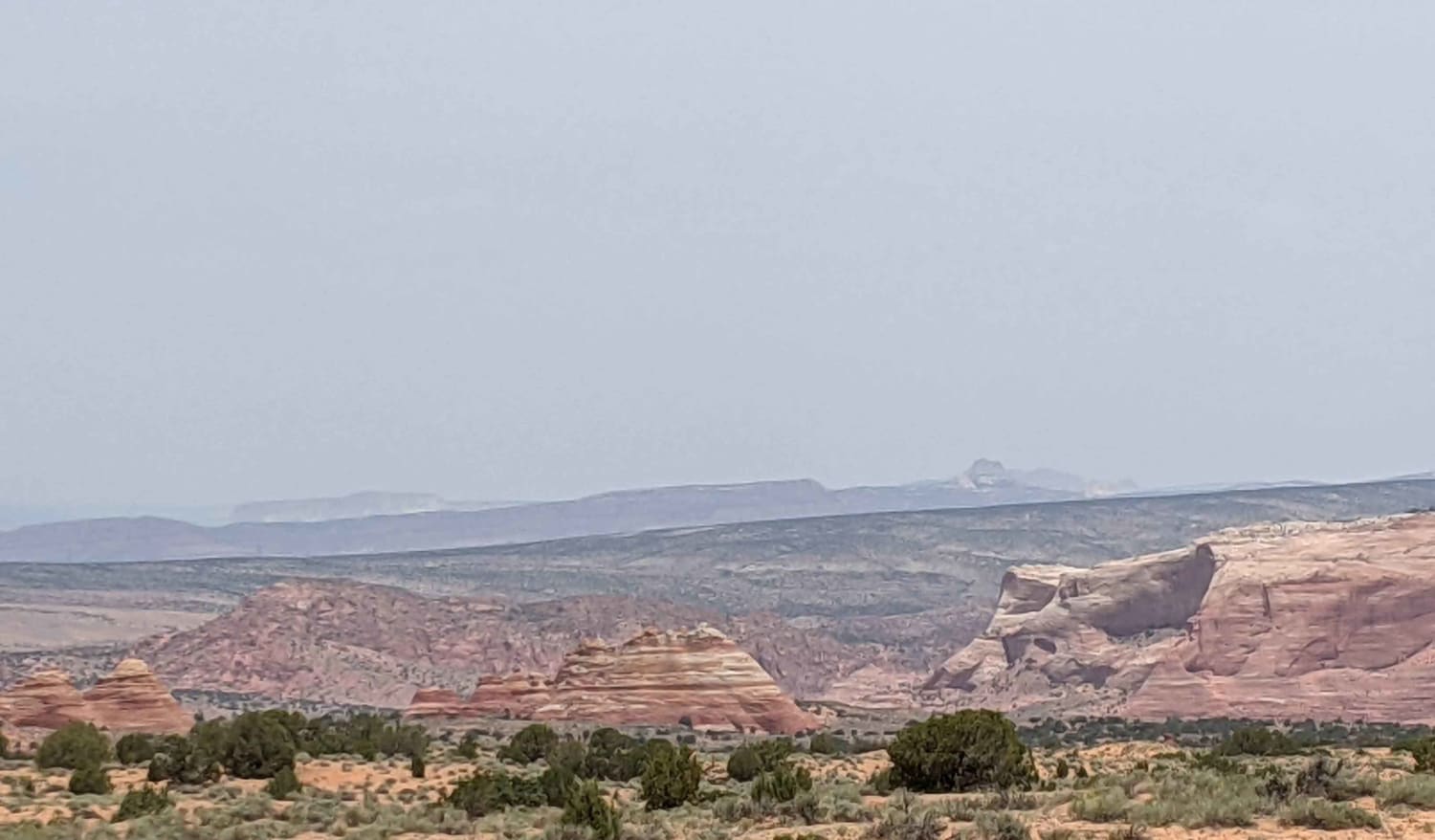
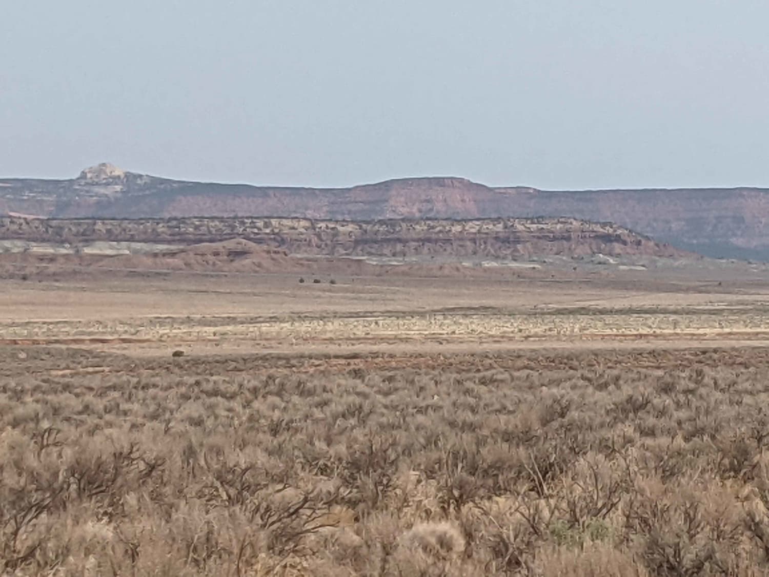
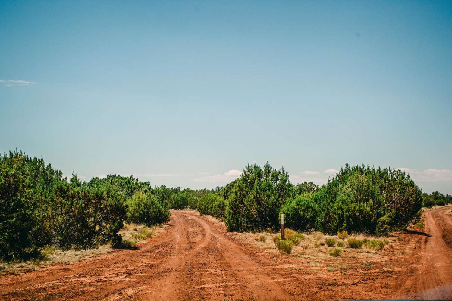
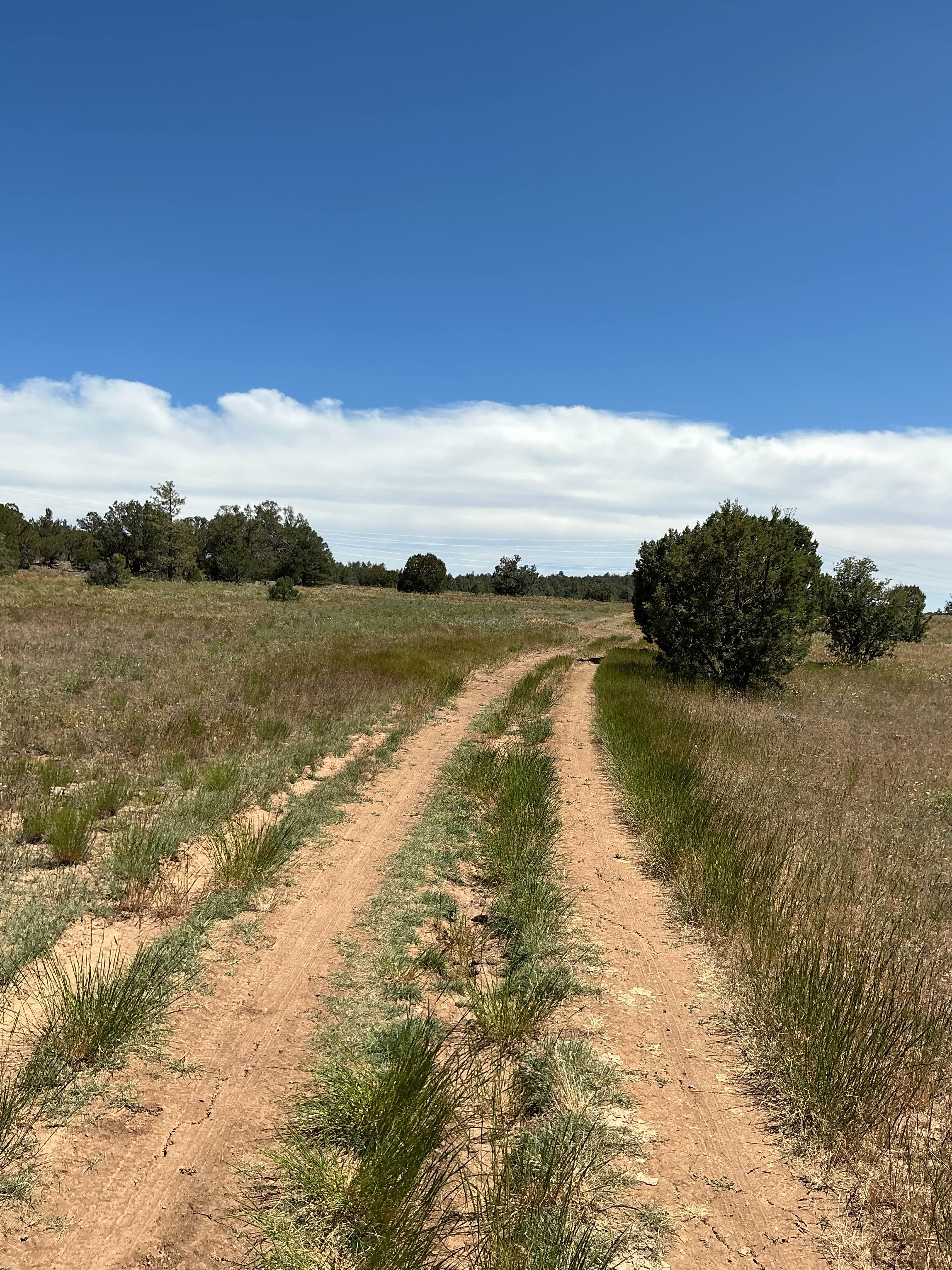
Extremely scenic route with fairly easy accessibility, but not advisable for any 2WD during any sort of weather. Trails leading off can have many obstacles and deep sand that, if dry, never ends. This trail skirts the edge of Vermilion Cliffs National Monument Wilderness Area. You must have a permit for wilderness area if hiking in that area, but not to ride on this trail.
Photos of BLM 1025 to House Rock Road
Difficulty
Access to many other trails.
Status Reports
BLM 1025 to House Rock Road can be accessed by the following ride types:
- High-Clearance 4x4
- SUV
- SxS (60")
- ATV (50")
- Dirt Bike
BLM 1025 to House Rock Road Map
Popular Trails

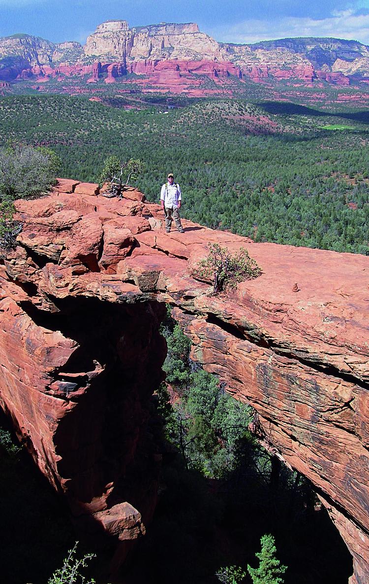
Devil's Bridge, Van Deren Cabin
The onX Offroad Difference
onX Offroad combines trail photos, descriptions, difficulty ratings, width restrictions, seasonality, and more in a user-friendly interface. Available on all devices, with offline access and full compatibility with CarPlay and Android Auto. Discover what you’re missing today!