BLM 1647
Total Miles
4.7
Technical Rating
Best Time
Spring, Fall, Winter
Trail Type
Full-Width Road
Accessible By
Trail Overview
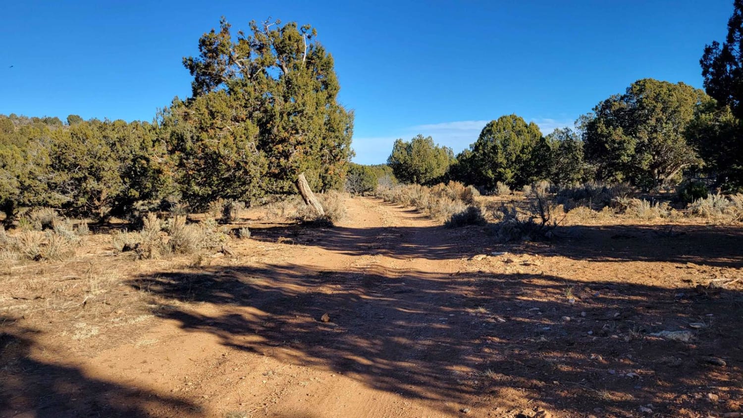
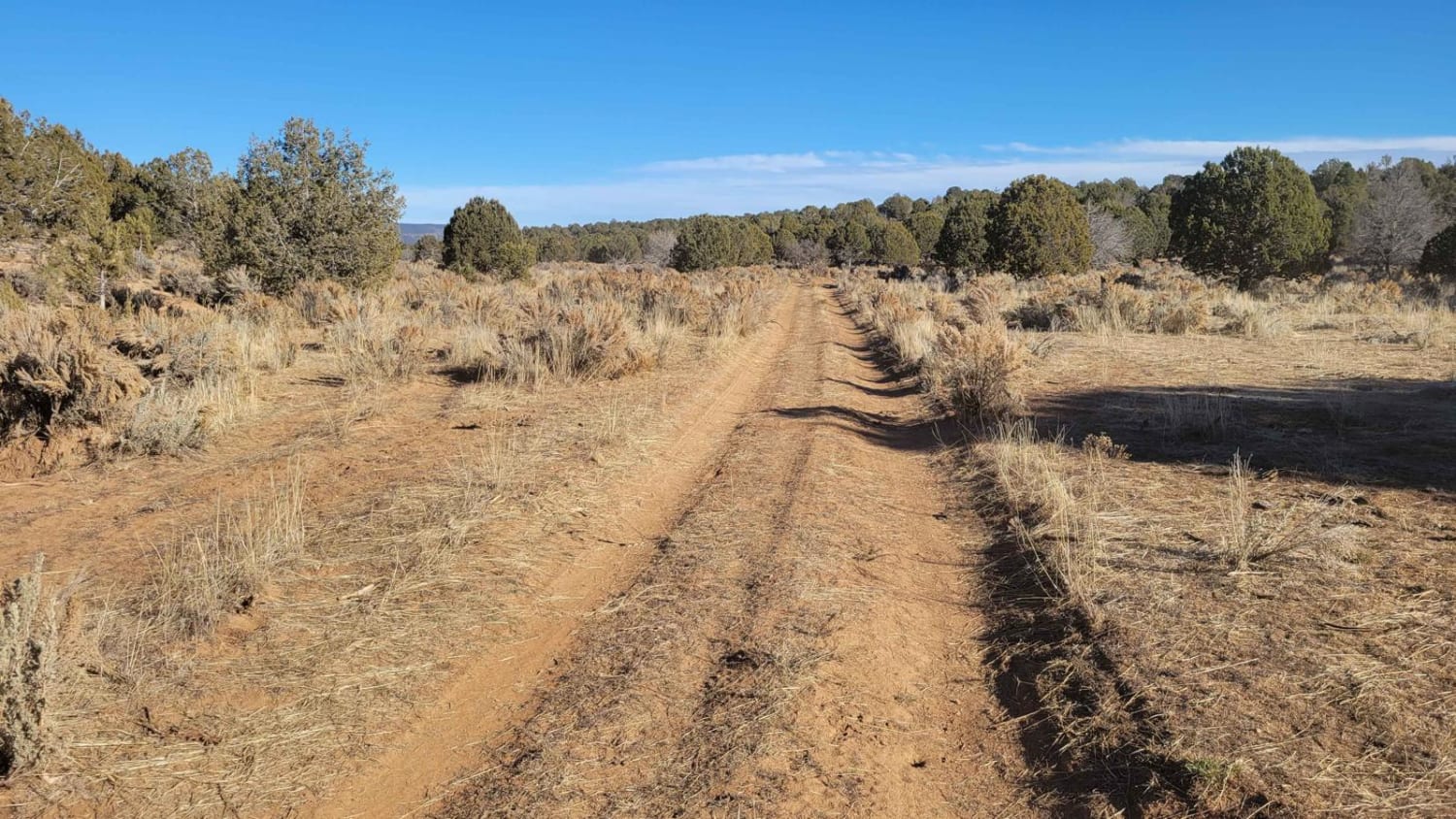
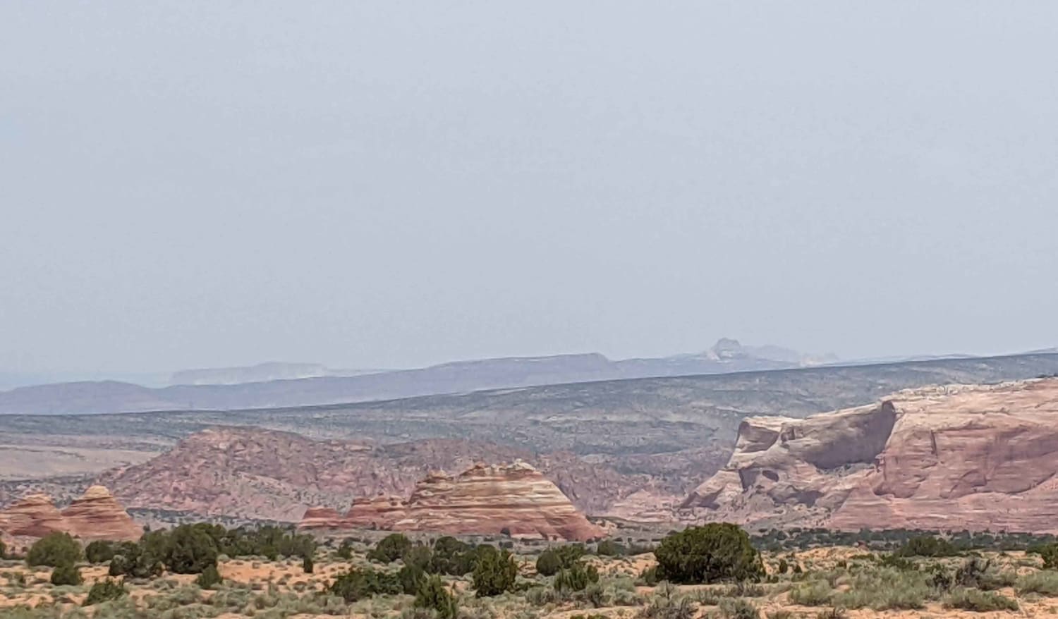
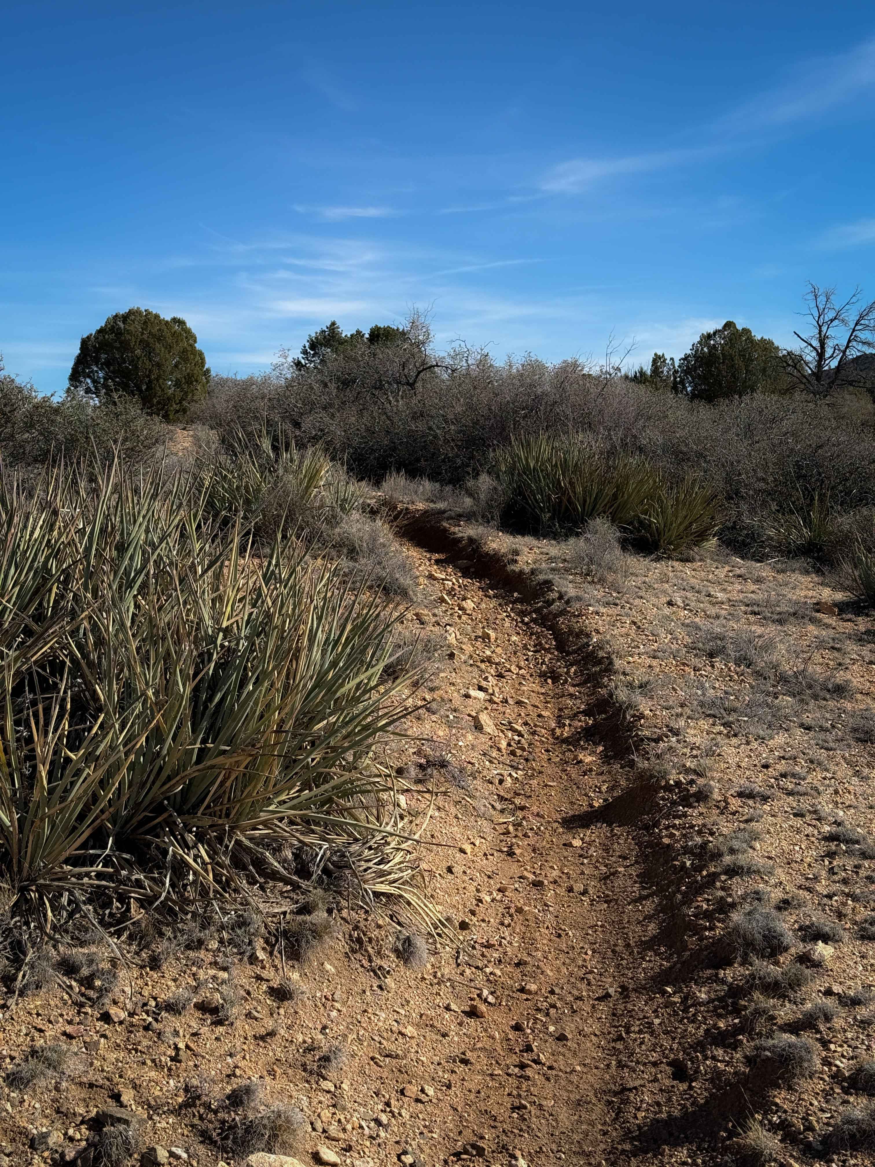
BLM 1647 is an unmarked (no trail markers) connector trail between County Highway 103 and BLM 1648/Grassy Point Road (BLM 1046). This route is a wide two-track trail that is suitable for full-size vehicles and is an alternative route for BLM 1648. Beginning off County Highway 103, the trail is easy and simple as it meanders its way through the desert grasslands, gradually making its way up into the hills. Once into the hills, the trail becomes a little more rough with a few erosion ruts and uneven terrain. A prominent livestock gate will be encountered on your way up/down the hill--please be sure to close it once you pass. Livestock are free-roaming and can be on the trail so be on the lookout. As a reminder, the Arizona Strip is incredibly remote with no service and hardly any visitors. Summer months will reach triple-digit temperatures and freezing temperatures in the winter months. Be prepared when venturing out here.
Photos of BLM 1647
Difficulty
This route is a wide two-track trail that is suitable for full-size vehicles. Beginning off County Highway 103, the trail is easy and simple as it meanders its way through the desert grasslands, gradually making its way up into the hills. Once into the hills, the trail becomes a little more rough with a few erosion ruts and uneven terrain.
Status Reports
BLM 1647 can be accessed by the following ride types:
- High-Clearance 4x4
- SUV
- SxS (60")
- ATV (50")
- Dirt Bike
BLM 1647 Map
Popular Trails
BLM 1025 to House Rock Road
Alternate Imperial Dam/Hidden Shores AZ Peace Trail
Hualapai Singletrack

Side by Side Bypass
The onX Offroad Difference
onX Offroad combines trail photos, descriptions, difficulty ratings, width restrictions, seasonality, and more in a user-friendly interface. Available on all devices, with offline access and full compatibility with CarPlay and Android Auto. Discover what you’re missing today!