Back Road to Wikieup
Total Miles
14.4
Technical Rating
Best Time
Spring, Summer, Fall, Winter
Trail Type
Full-Width Road
Accessible By
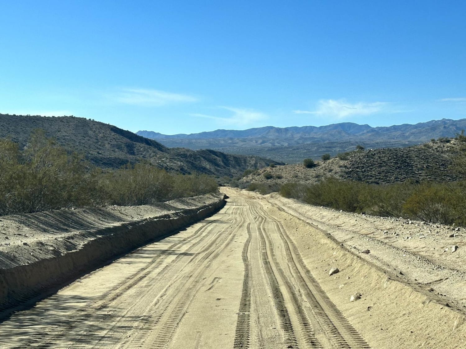
Trail Overview
This 14.4-mile point-to-point trail is a maintained county road with access to several other trails. This is a small section of the Arizona Peace Trail which is a 675-mile off-road trail that loops through Mohave, La Paz, and Yuma Counties in Western Arizona. This portion of the Arizona Peace Trail is passable by any 2WD vehicle.
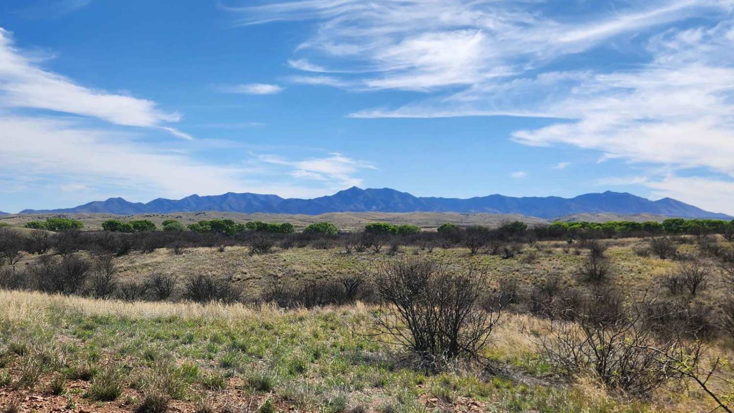
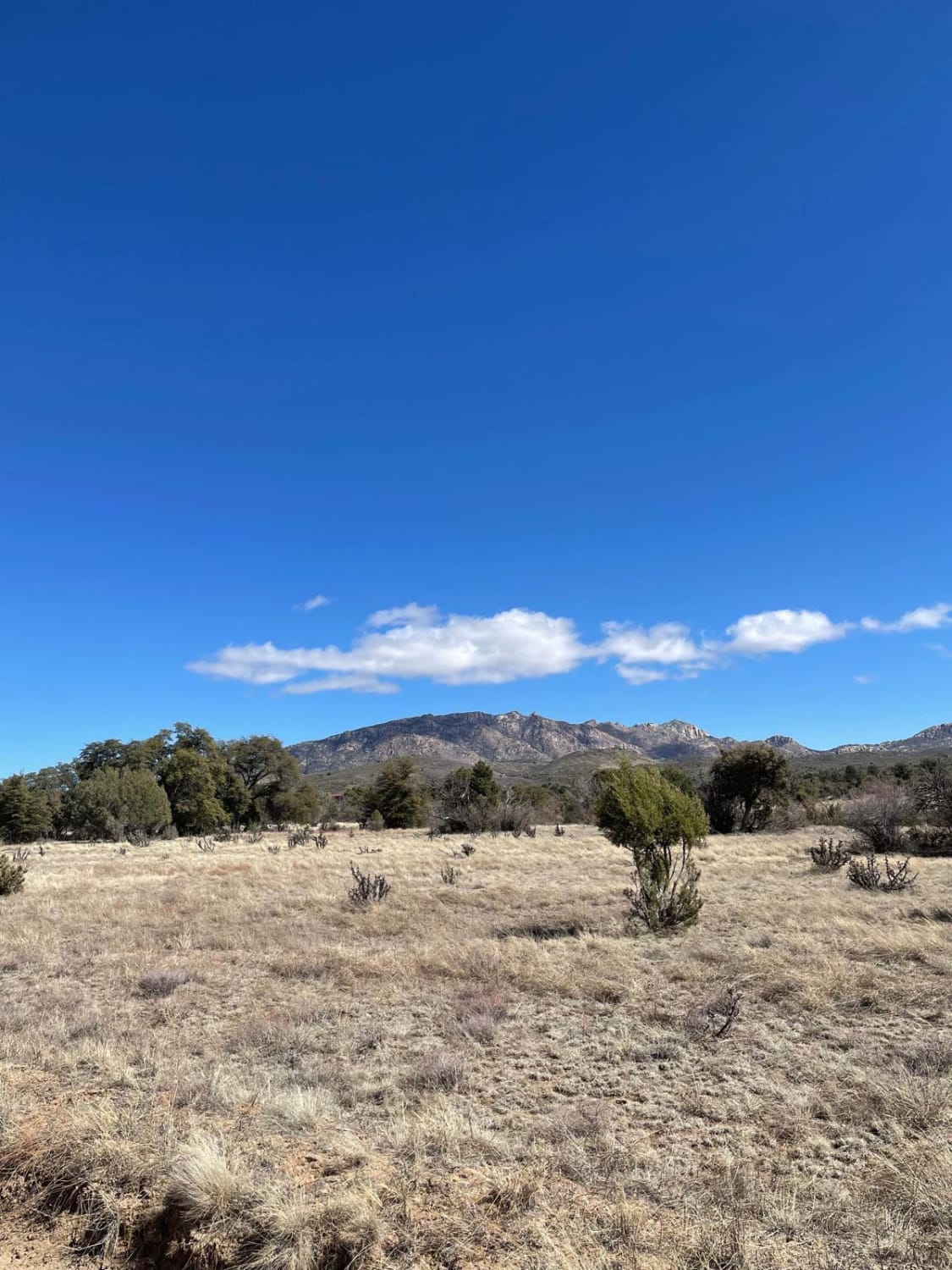
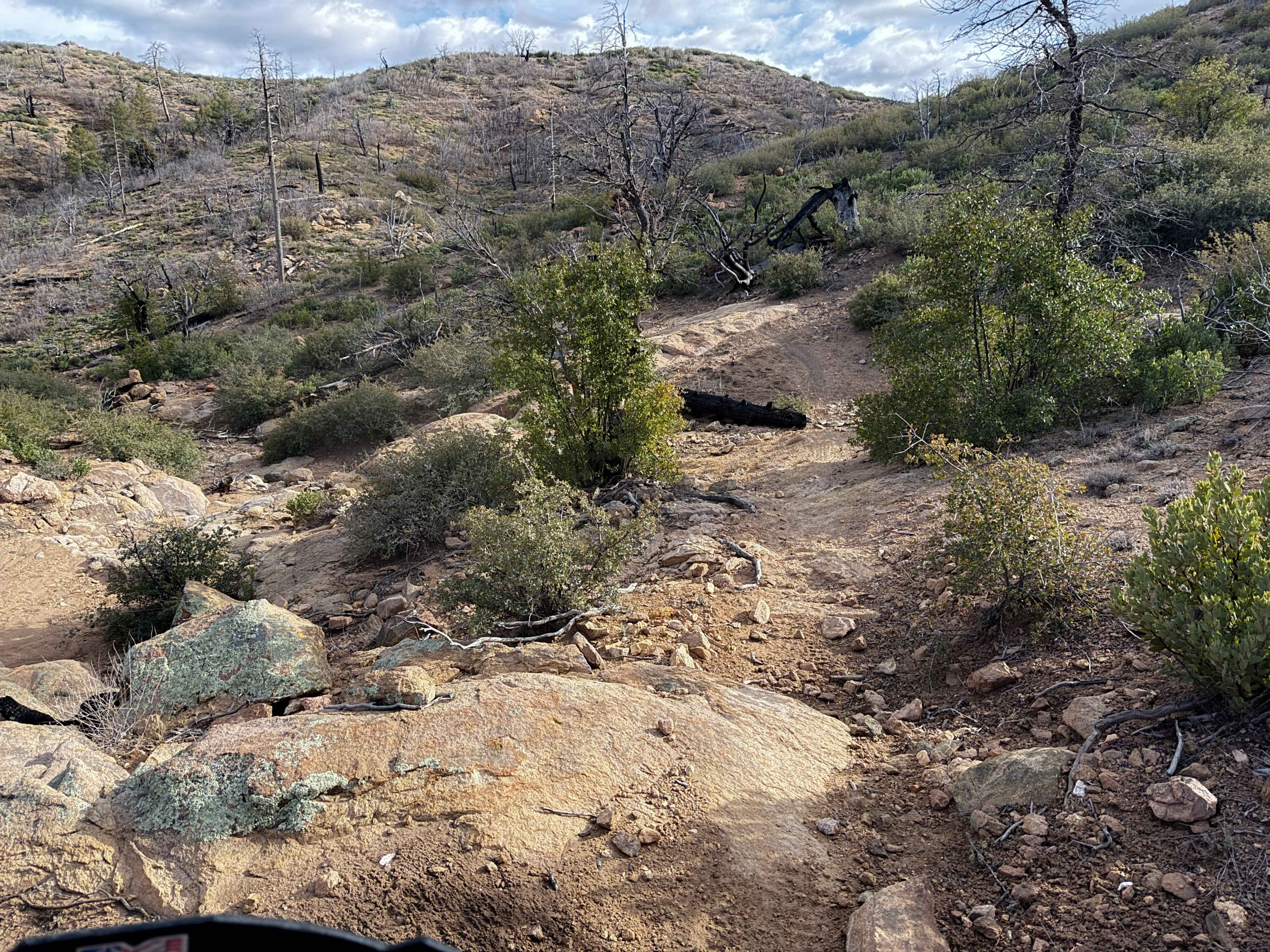
Photos of Back Road to Wikieup

Difficulty
Maintained County Road passable by any vehicle.
Status Reports
Back Road to Wikieup can be accessed by the following ride types:
- High-Clearance 4x4
- SUV
- SxS (60")
- ATV (50")
- Dirt Bike
Back Road to Wikieup Map
Popular Trails

Experimental and Rocky
Andrada Tank Loop FR 6905
Tonto Road
Cottonwood Trail #8 (ATV)
The onX Offroad Difference
onX Offroad combines trail photos, descriptions, difficulty ratings, width restrictions, seasonality, and more in a user-friendly interface. Available on all devices, with offline access and full compatibility with CarPlay and Android Auto. Discover what you’re missing today!