Backway To Bloody Basin
Total Miles
1.5
Technical Rating
Best Time
Spring, Summer, Fall, Winter
Trail Type
Full-Width Road
Accessible By
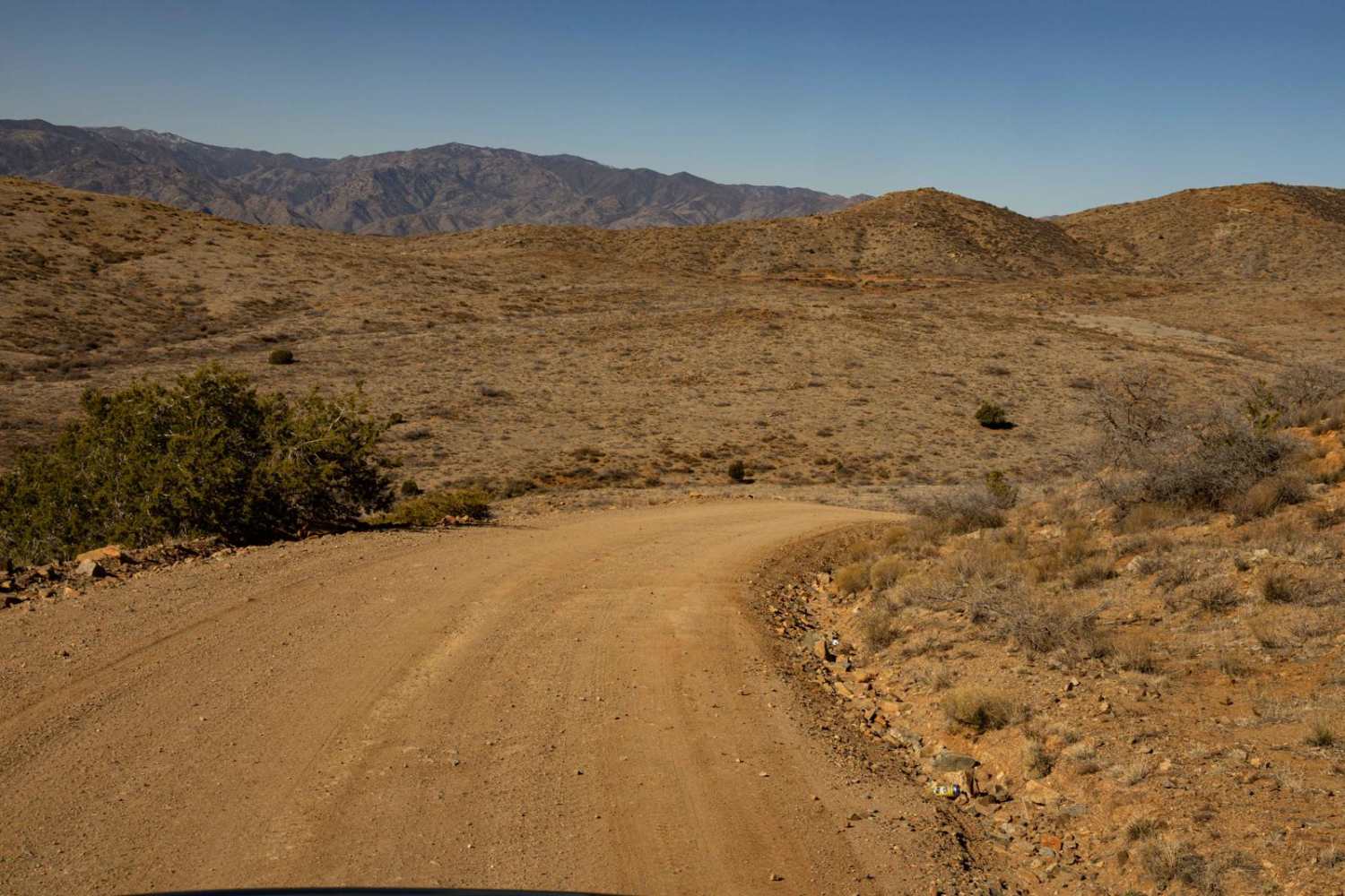
Trail Overview
Backway to Bloody Basin is a wide and easily navigable trail with no obstacles, making for a smooth and scenic ride. It's important to note that this route stems from a neighborhood, so traffic rules apply - please be courteous and travel safely as this is a residential area. Also, this is NOT a bypass for I-17 closures. Numerous campsites along the route provide great spots to set up and enjoy the surroundings. Some of these campsites are large and level and can accommodate vehicles and trailers of varying sizes. With no cell service in the area, be sure to download offline maps before heading out.
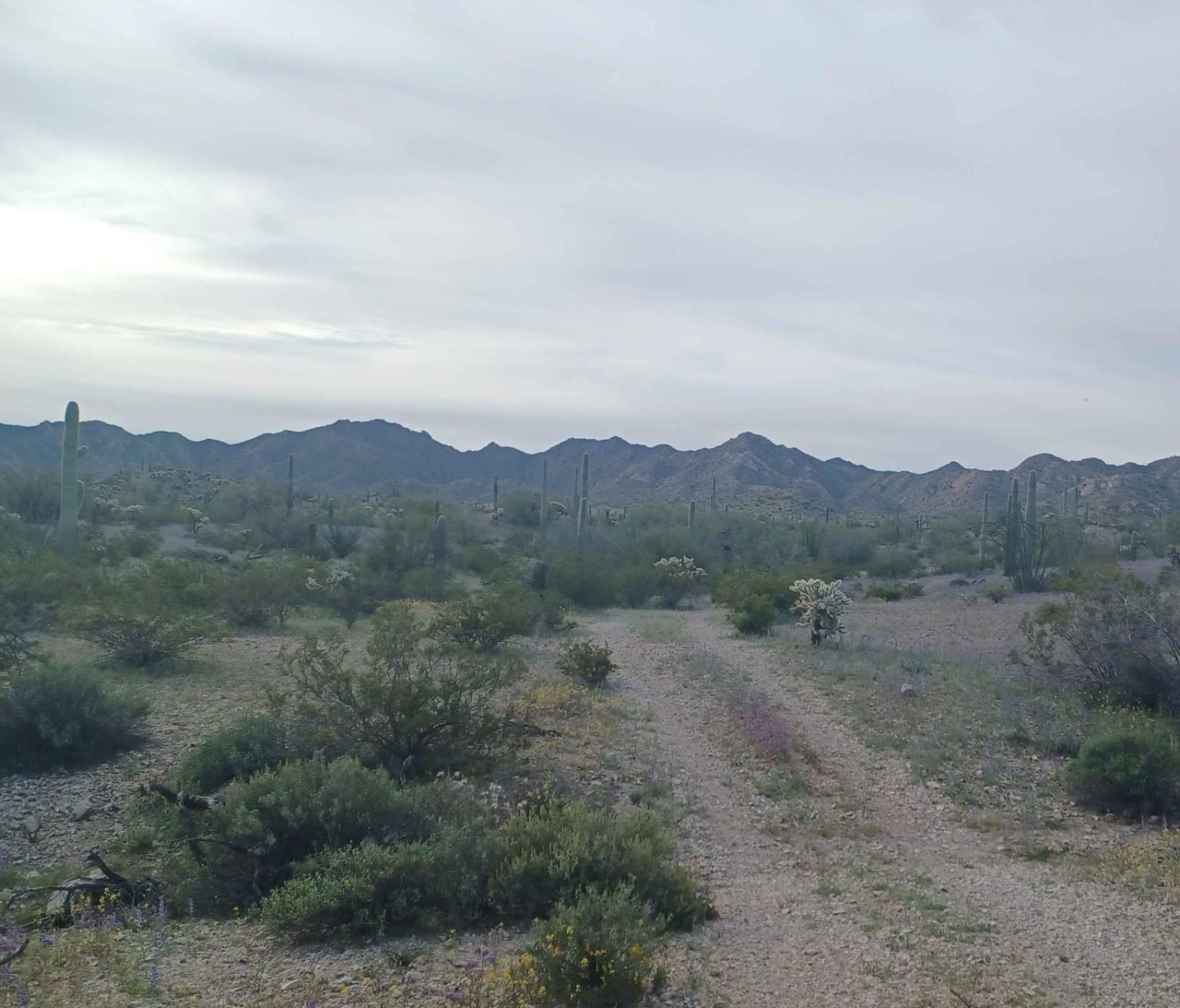
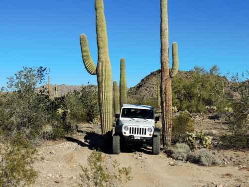
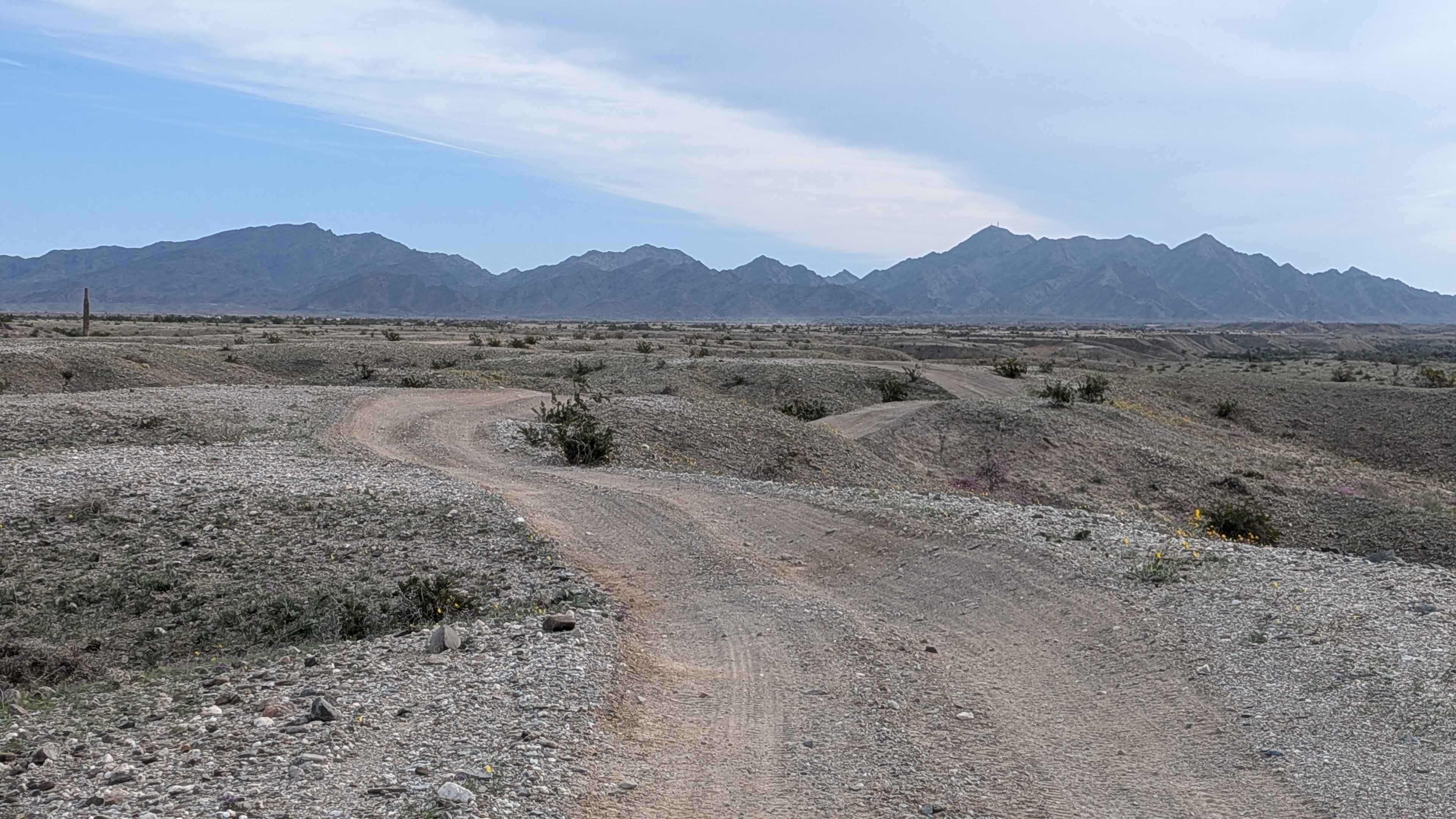
Photos of Backway To Bloody Basin

Difficulty
This is a semi-maintained road that has no major obstacles. There are sections of washboard, though it is not known how often this road is graded. There are campsites of varying sizes along this route, some with primitive rock fire rings. If you do decide to have a fire, please check local and county regulations as this area is prone to large uncontrollable wildfires. This road is an access route to Bloody Basin Road, one of the premier trails in the area. There are many offshoot trails off of Bloody Basin Road, with access to vast amounts of the Agua Fria National Monument. This road is not to be used as an alternative to I-17 highway closures.
Status Reports
Backway To Bloody Basin can be accessed by the following ride types:
- High-Clearance 4x4
- SUV
- SxS (60")
- ATV (50")
- Dirt Bike
Backway To Bloody Basin Map
Popular Trails
Hidden Camp

Ritter Tank Trail
The onX Offroad Difference
onX Offroad combines trail photos, descriptions, difficulty ratings, width restrictions, seasonality, and more in a user-friendly interface. Available on all devices, with offline access and full compatibility with CarPlay and Android Auto. Discover what you’re missing today!