AZPT I-10 to Royal Arch Loop Trail
Total Miles
19.5
Technical Rating
Best Time
Spring, Fall, Winter
Trail Type
High-Clearance 4x4 Trail
Accessible By
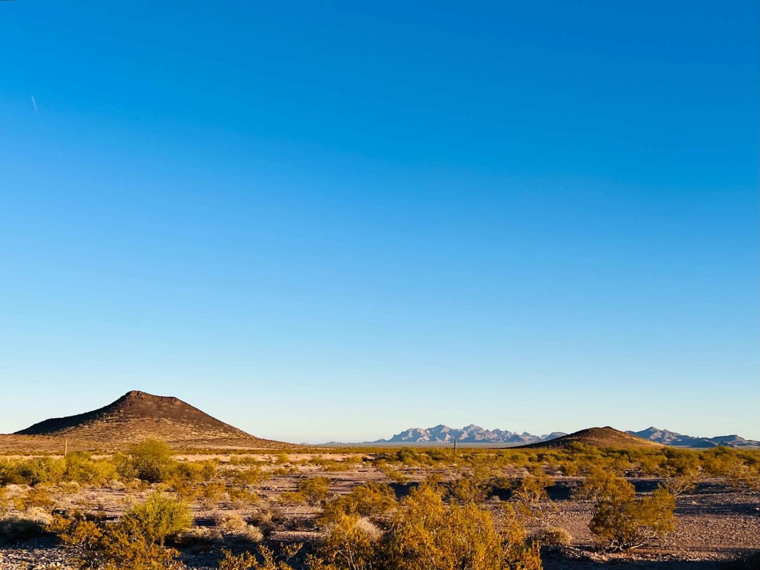
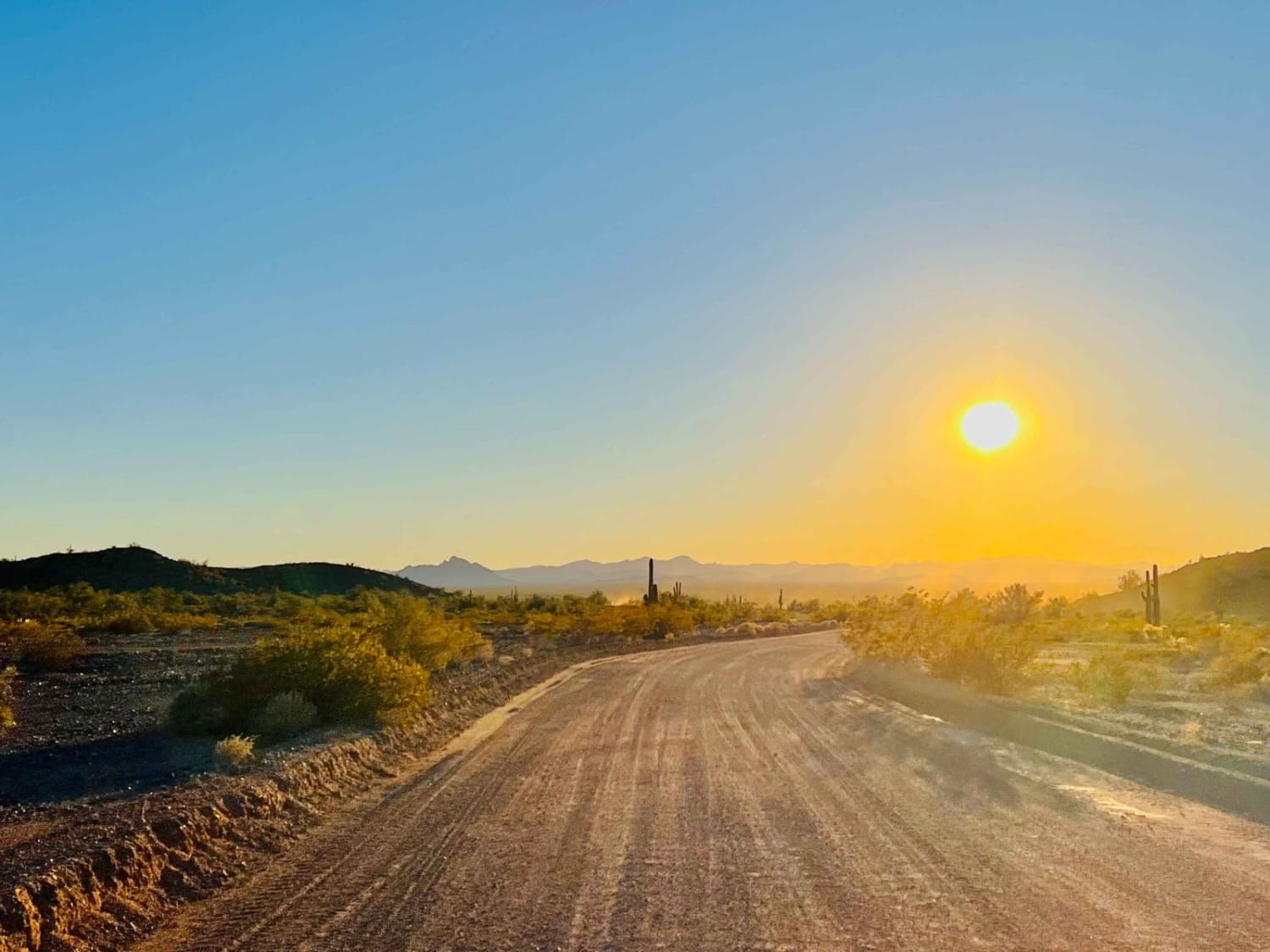
Trail Overview
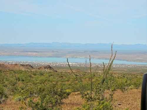
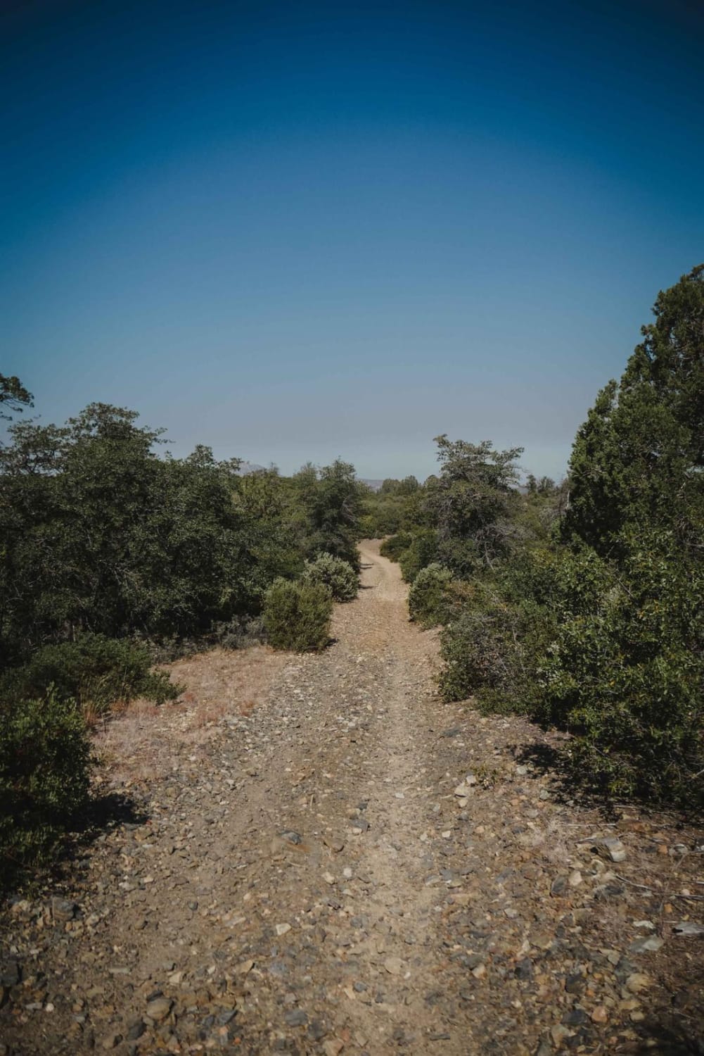
This section of the AZPT runs from Interstate 10 at the north to the southern entrance of the Royal Arch Loop Spur. Primarily the trail is a well-maintained grader. There are a few spots where it narrows and some sandier sections early on, and then it becomes graded again. Some parts pass through powdery silt beds, and there's one approximately 2-mile section of very deep sand. Being aired down would greatly help, or one could take the 4-mile bypass for an easier run. There are ample opportunities for wild camping and offshoot trail exploration in the area. The trail runs right alongside the Bob Crowder memorial dam, which has provided water to livestock and wild game since the 1960s. This is a wild and remote part of the Sonoran desert. Be sure to bring lots of water and download your offline maps before you come. There's good Verizon cell service in the north until right around the damn. Then none as you continue south.
Photos of AZPT I-10 to Royal Arch Loop Trail
Difficulty
Primarily wide, washboard, and well-graded. Except for the approximately two miles of very deep sand.
Status Reports
AZPT I-10 to Royal Arch Loop Trail can be accessed by the following ride types:
- High-Clearance 4x4
- SxS (60")
- ATV (50")
- Dirt Bike
AZPT I-10 to Royal Arch Loop Trail Map
Popular Trails
FS 635" The Locked Gate"
Happy Valley FR 35
Highline
The onX Offroad Difference
onX Offroad combines trail photos, descriptions, difficulty ratings, width restrictions, seasonality, and more in a user-friendly interface. Available on all devices, with offline access and full compatibility with CarPlay and Android Auto. Discover what you’re missing today!