9066
Total Miles
0.6
Technical Rating
Best Time
Spring, Summer, Fall, Winter
Trail Type
Full-Width Road
Accessible By
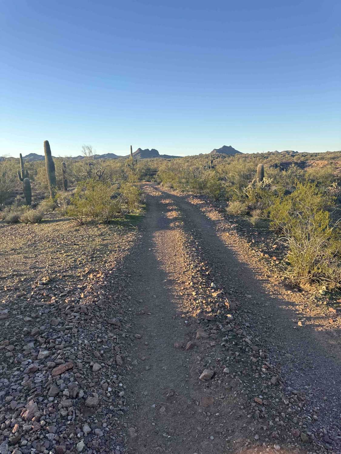
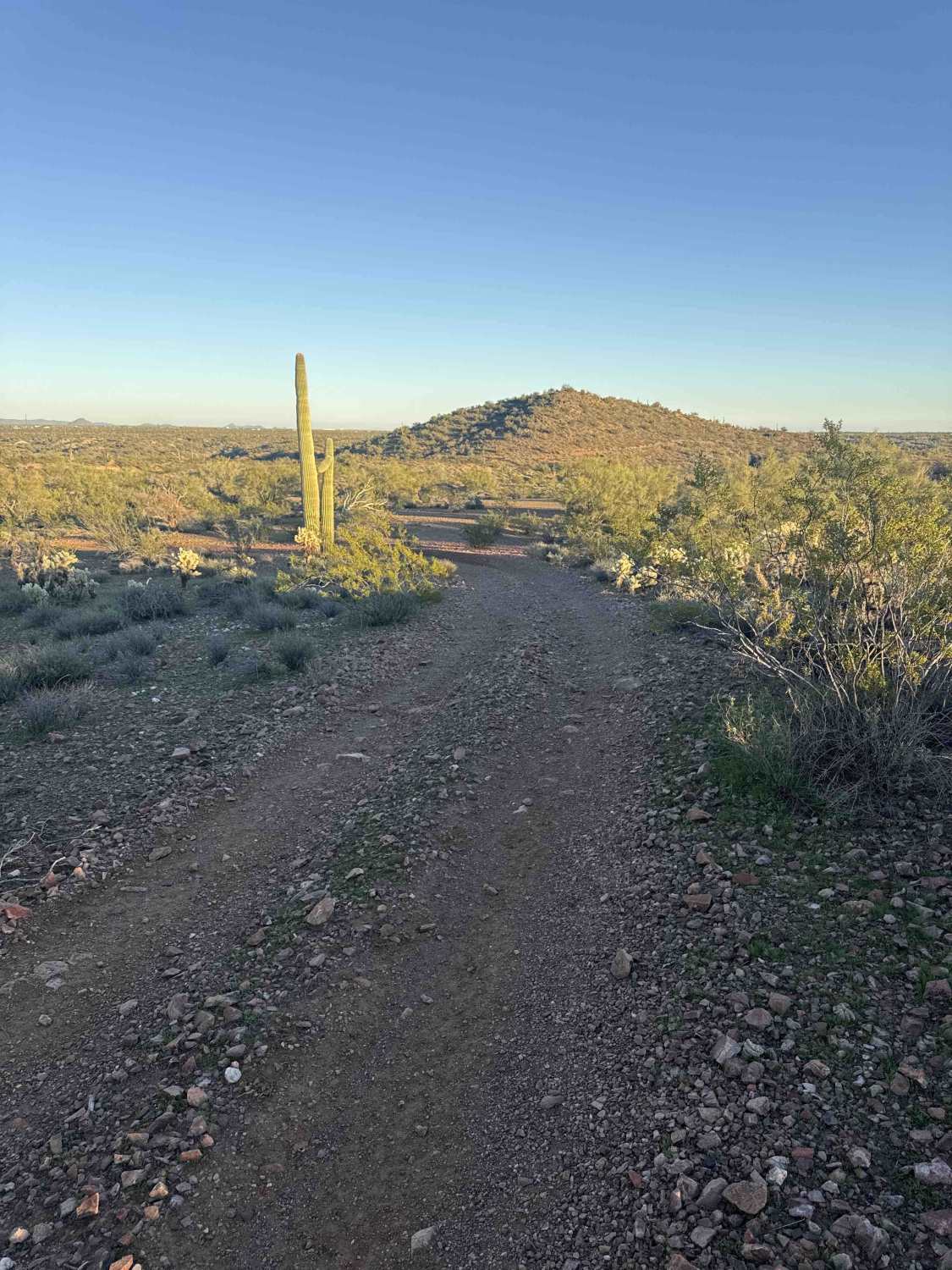
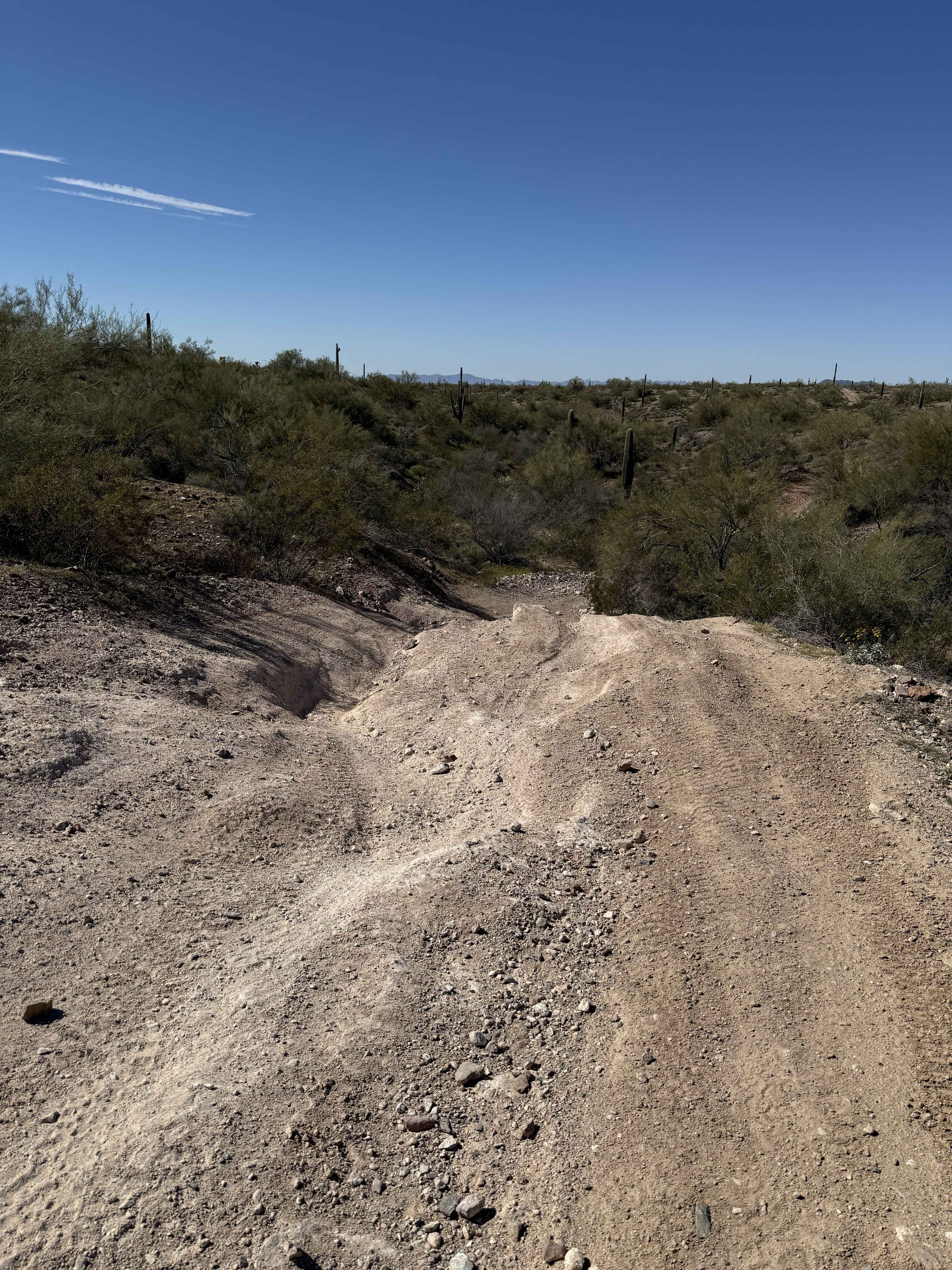
Trail Overview
At the intersection, Trail 9066 turns left and climbs a rocky gravel road that winds up to the top of a hill. Although the trail technically ends on the map, the road continues as a dirt road. High-clearance vehicles are recommended. The trail is only 0.6 miles long and leads to another intersection. There are no obstacles or technical sections, making it an easy drive, and the view at the top offers a great spot to watch the sunset. Trails go onto state trust land, where a Permit is required.
Photos of 9066
Difficulty
This is an easy trail that provides straightforward navigation to the next trail sections.
Status Reports
9066 can be accessed by the following ride types:
- High-Clearance 4x4
- SUV
- SxS (60")
- ATV (50")
- Dirt Bike
9066 Map
Popular Trails
Journey to Trilby Wash

Ferry Swale Road
The onX Offroad Difference
onX Offroad combines trail photos, descriptions, difficulty ratings, width restrictions, seasonality, and more in a user-friendly interface. Available on all devices, with offline access and full compatibility with CarPlay and Android Auto. Discover what you’re missing today!