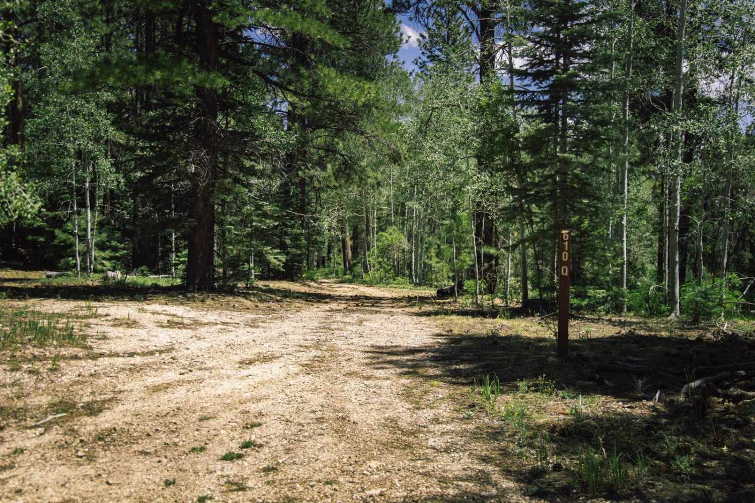
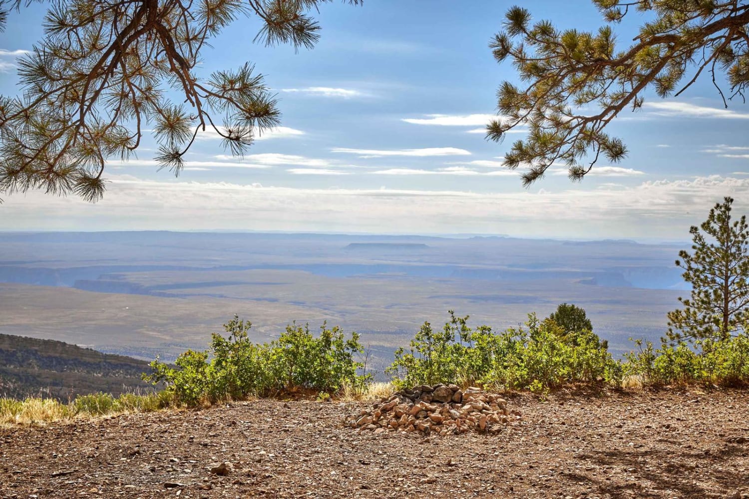
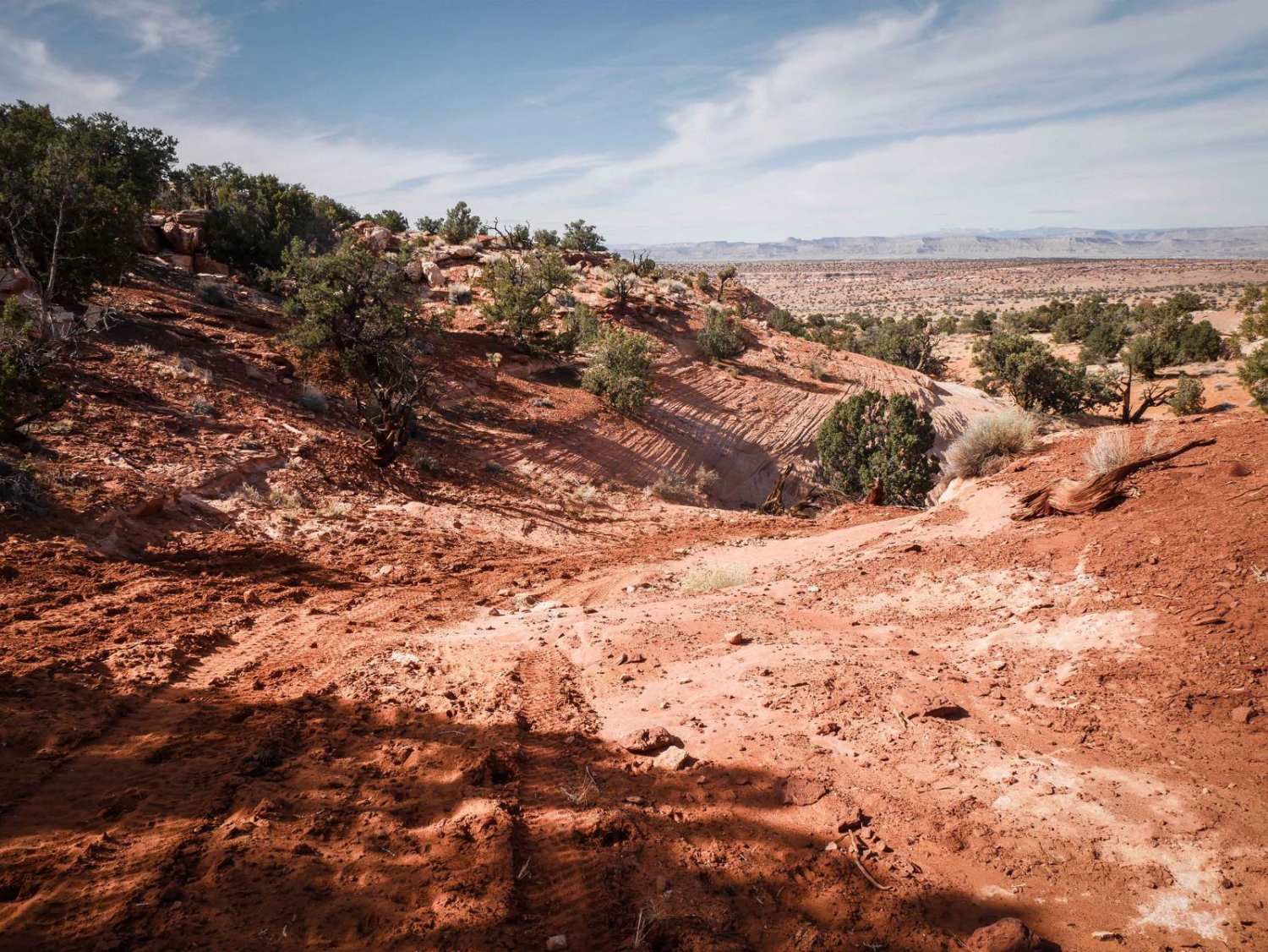
Off-Road Trails in Arizona
Discover off-road trails in Arizona
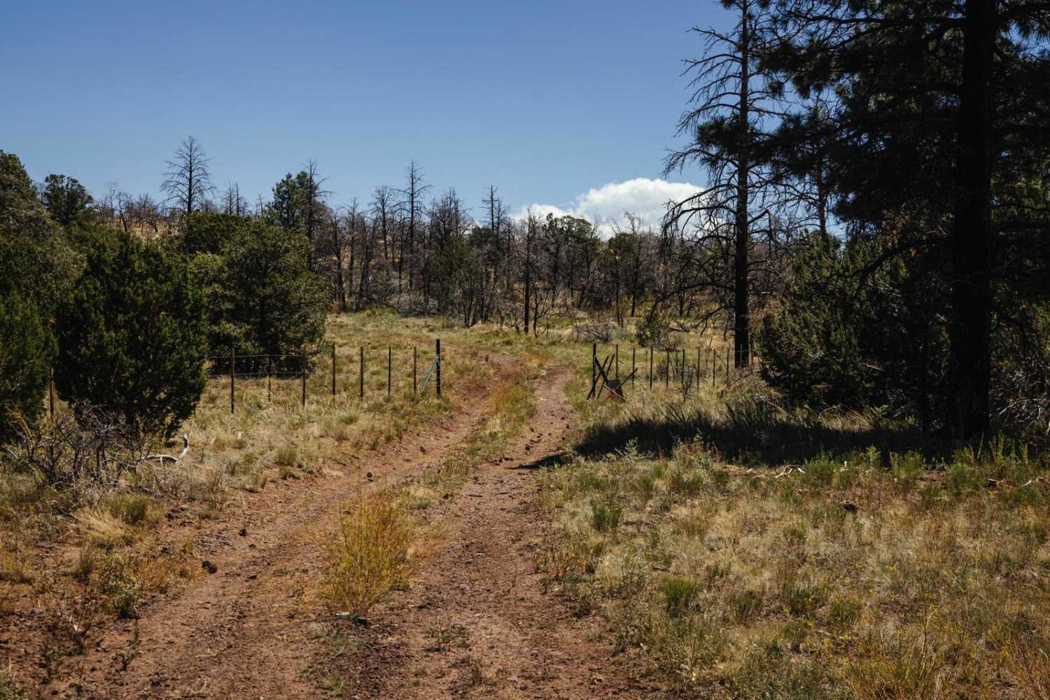
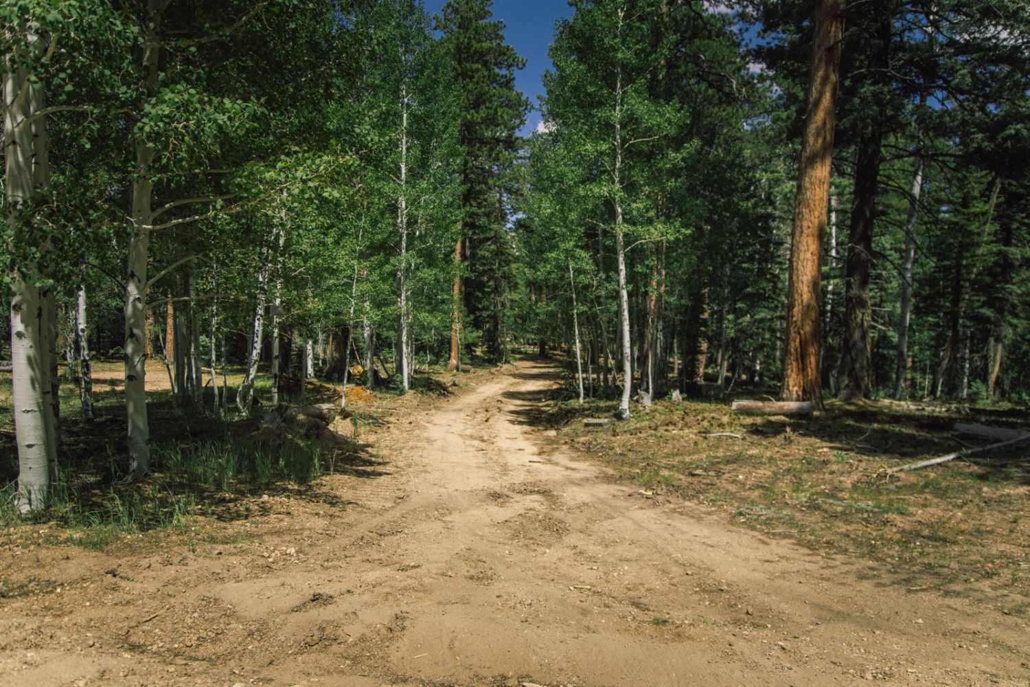
Learn more about 50 Year Trail Loop 
50 Year Trail Loop
Total Miles
5.1
Tech Rating
Easy
Best Time
Spring, Fall, Winter
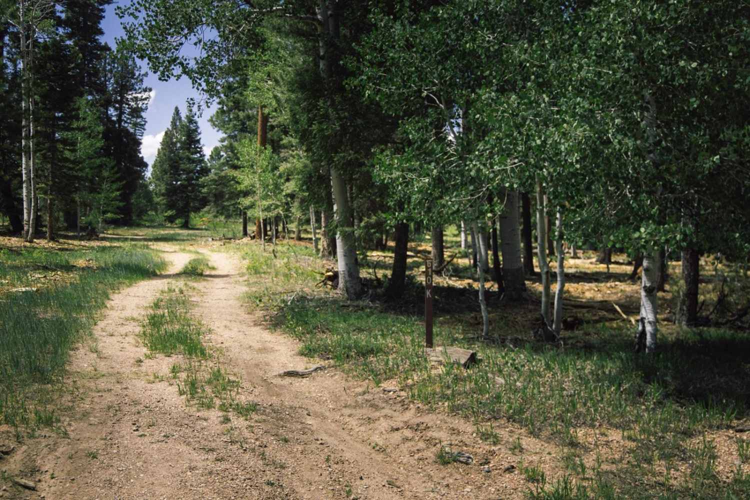
Learn more about 504 to Pole Line
504 to Pole Line
Total Miles
1.2
Tech Rating
Easy
Best Time
Fall, Summer, Spring
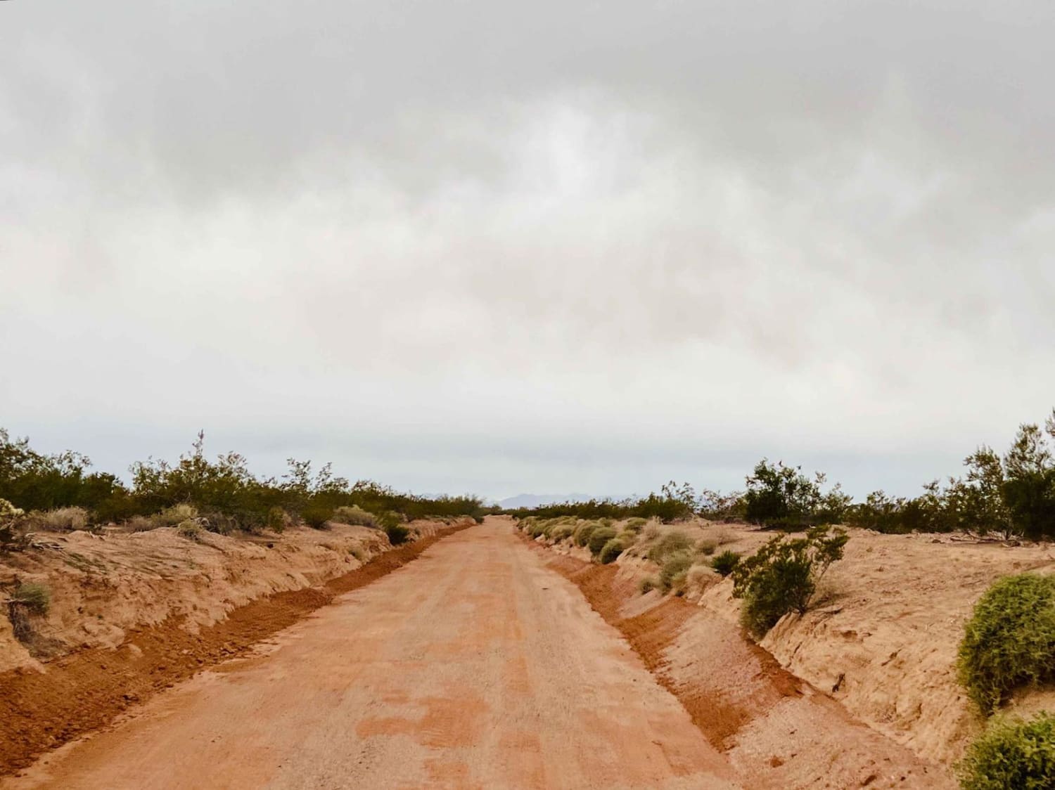
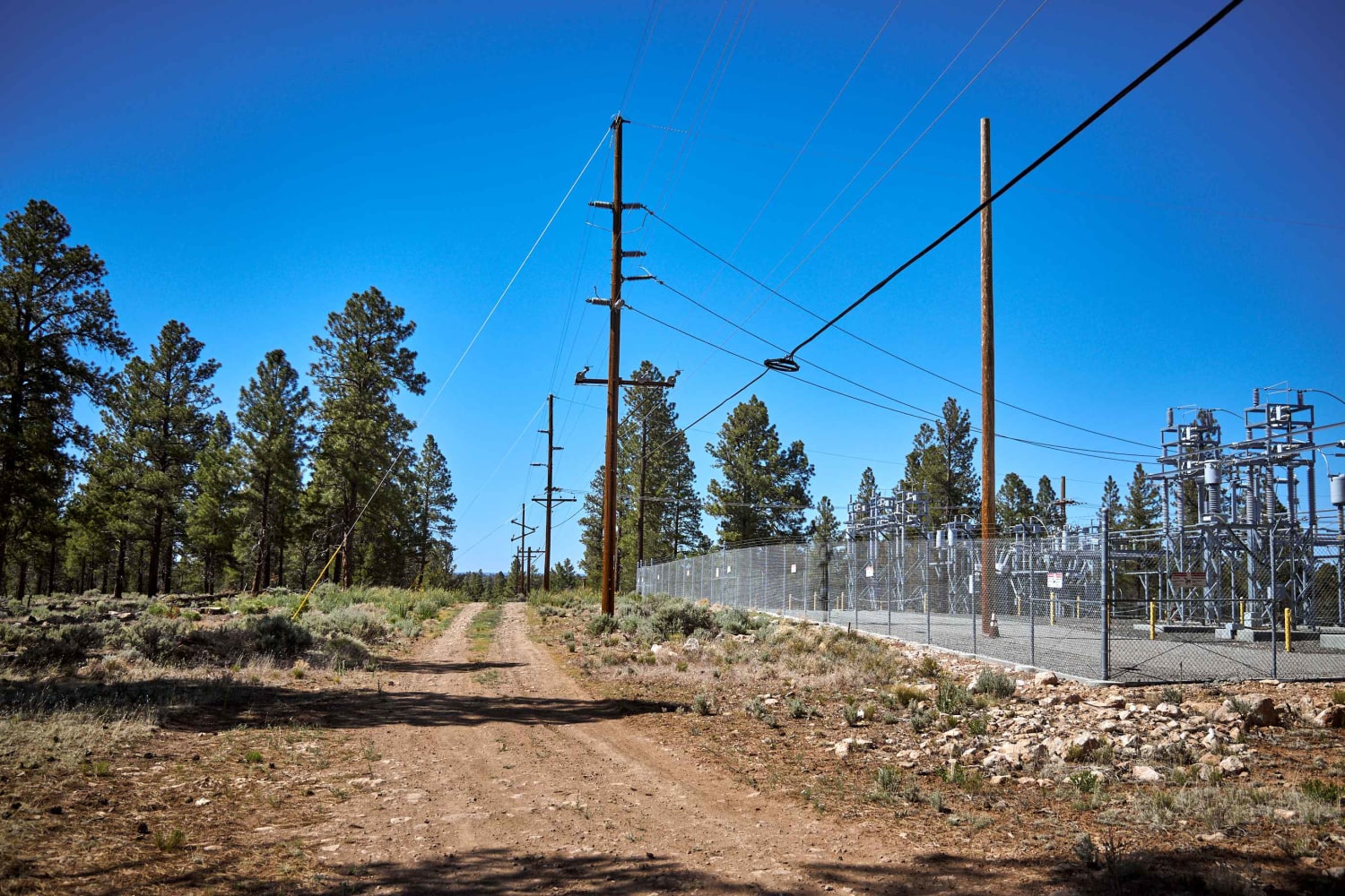
Learn more about 51000 Zonia Mine Rd
51000 Zonia Mine Rd
Total Miles
2.0
Tech Rating
Easy
Best Time
Spring, Summer, Fall, Winter


Learn more about 525 to 795 Palatki Heritage Site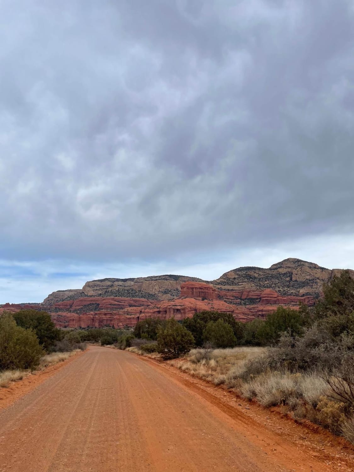
525 to 795 Palatki Heritage Site
Total Miles
7.5
Tech Rating
Easy
Best Time
Spring, Summer, Fall, Winter
Learn more about 6 Mile Crossing to West Burro Creek Road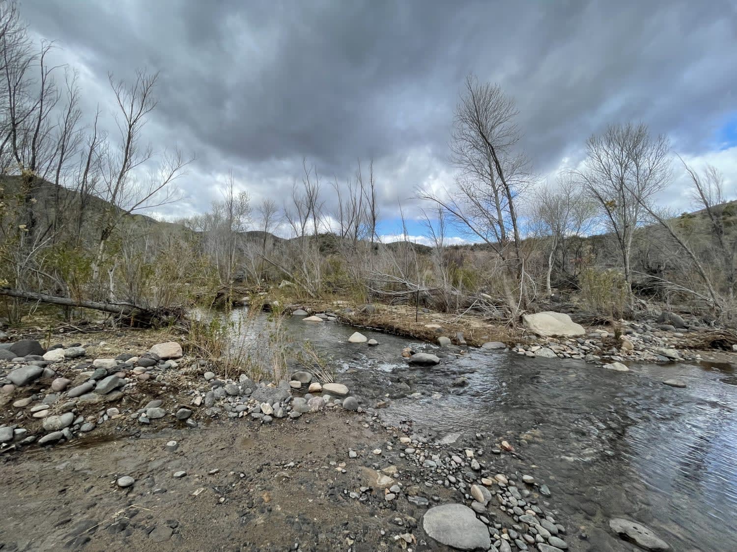
6 Mile Crossing to West Burro Creek Road
Total Miles
3.3
Tech Rating
Moderate
Best Time
Spring, Fall, Winter
Learn more about 60 to the Tracks
60 to the Tracks
Total Miles
4.2
Tech Rating
Easy
Best Time
Spring, Fall, Winter
ATV trails in Arizona
Learn more about Scrub Oak Bypass 
Scrub Oak Bypass
Total Miles
0.5
Tech Rating
Easy
Best Time
Spring, Summer, Fall


UTV/side-by-side trails in Arizona
Learn more about Scrub Oak Bypass
Scrub Oak Bypass
Total Miles
0.5
Tech Rating
Easy
Best Time
Spring, Summer, Fall
The onX Offroad Difference
onX Offroad combines trail photos, descriptions, difficulty ratings, width restrictions, seasonality, and more in a user-friendly interface. Available on all devices, with offline access and full compatibility with CarPlay and Android Auto. Discover what you’re missing today!