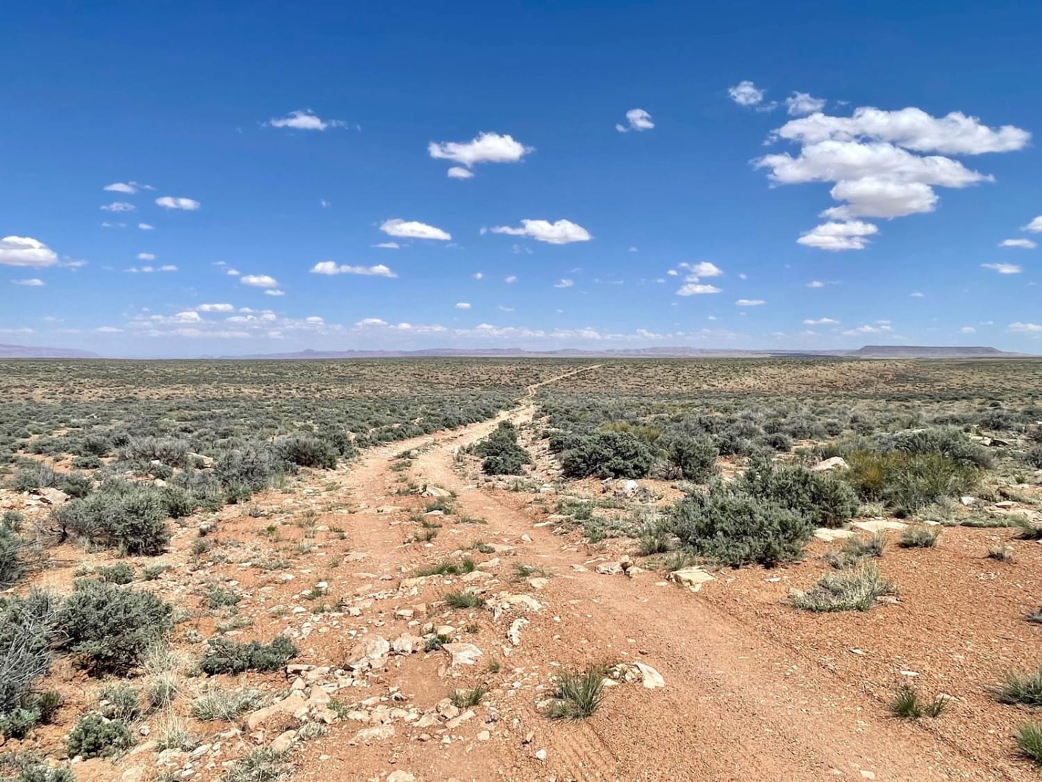
Off-Road Trails in Arizona
Discover off-road trails in Arizona


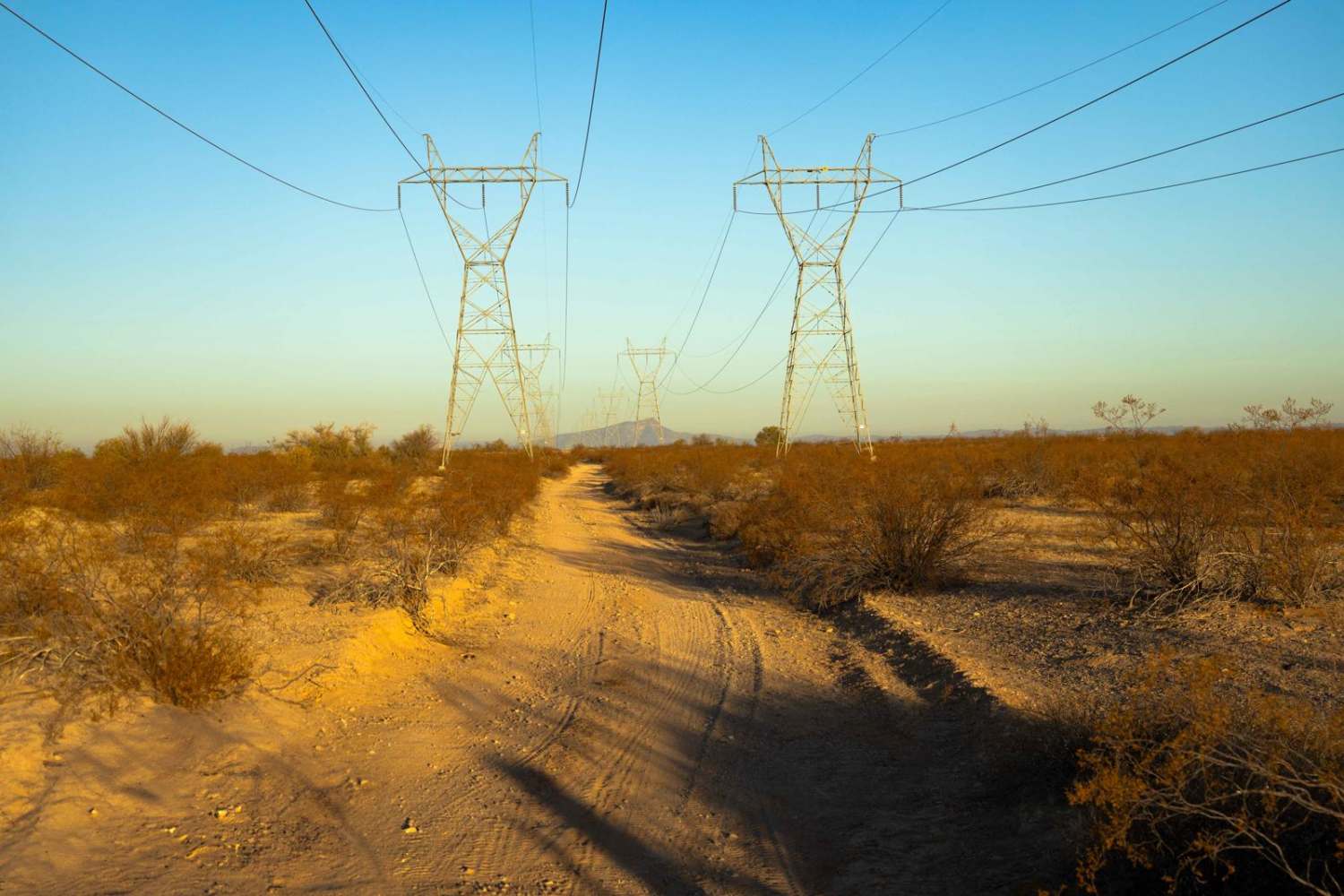
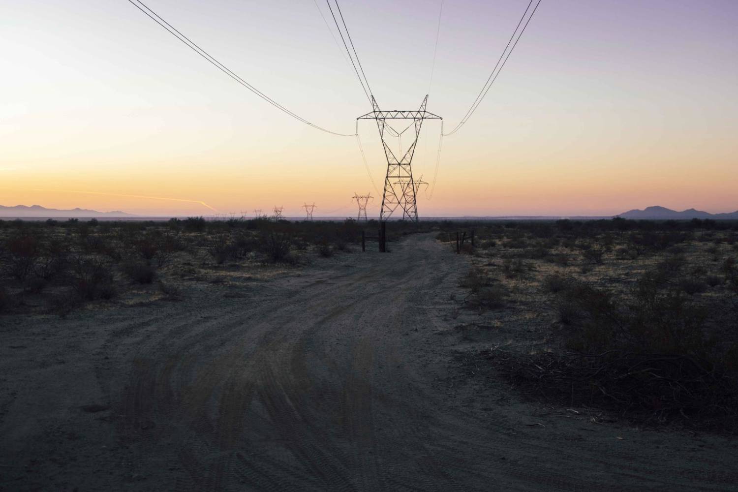
Learn more about 398 Powerline 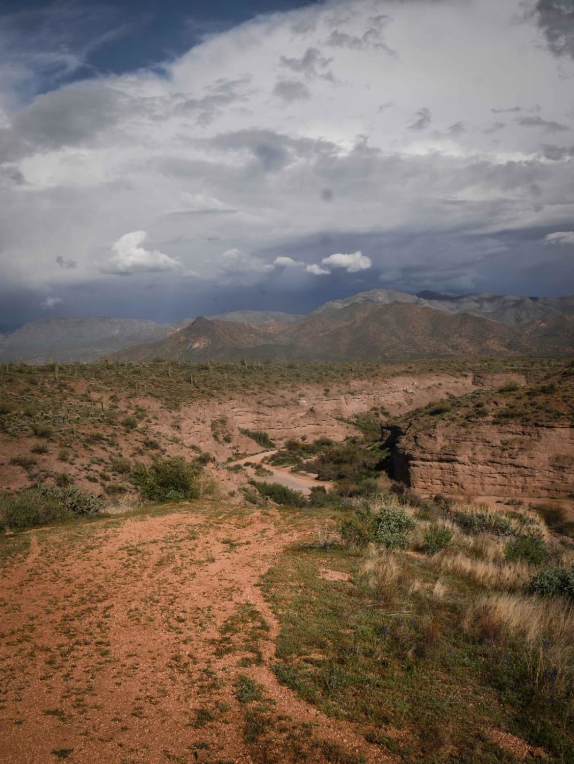
398 Powerline
Total Miles
4.6
Tech Rating
Easy
Best Time
Spring, Winter, Fall
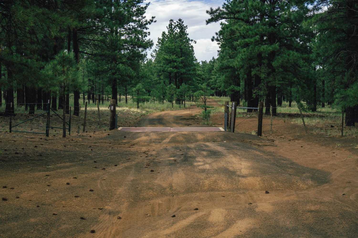
Learn more about 3M Ranch Road
3M Ranch Road
Total Miles
2.6
Tech Rating
Easy
Best Time
Spring, Summer, Fall, Winter
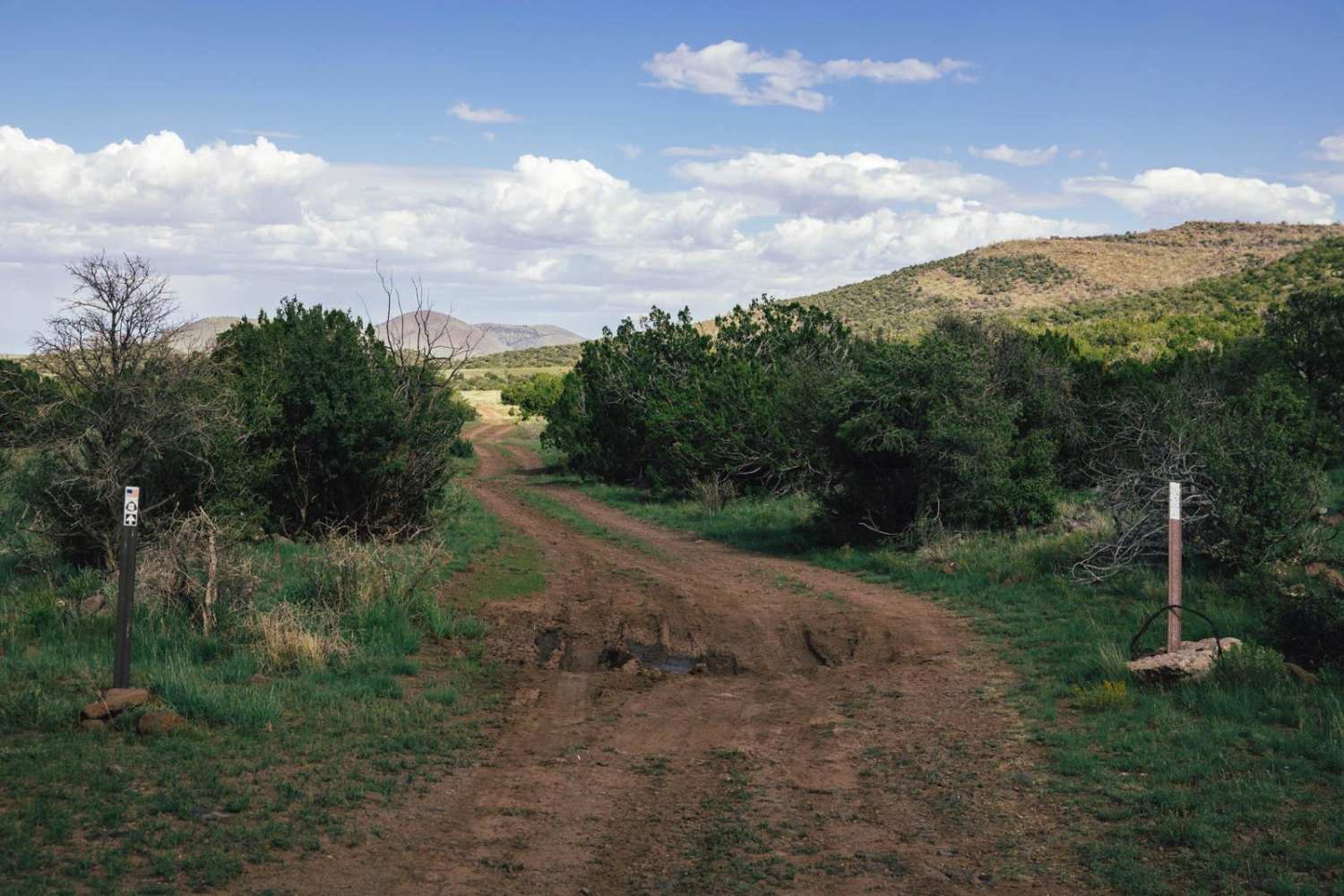
Learn more about 400 - Power Fence
400 - Power Fence
Total Miles
4.5
Tech Rating
Easy
Best Time
Spring, Summer, Fall, Winter
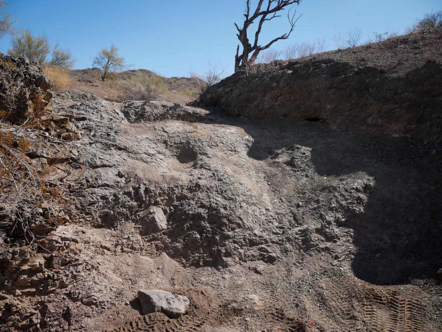
Learn more about 40065 Trail
40065 Trail
Total Miles
2.8
Tech Rating
Easy
Best Time
Spring, Summer, Fall, Winter
Learn more about 4169/Red Point
4169/Red Point
Total Miles
1.9
Tech Rating
Easy
Best Time
Spring, Summer, Fall
Learn more about 43021 Power
43021 Power
Total Miles
4.2
Tech Rating
Easy
Best Time
Spring, Summer, Fall, Winter
Learn more about 460--Soup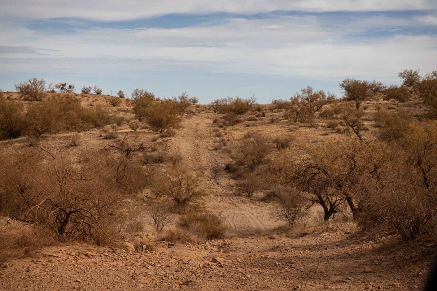
460--Soup
Total Miles
3.1
Tech Rating
Easy
Best Time
Spring, Summer, Fall, Winter
Learn more about 46066 Wash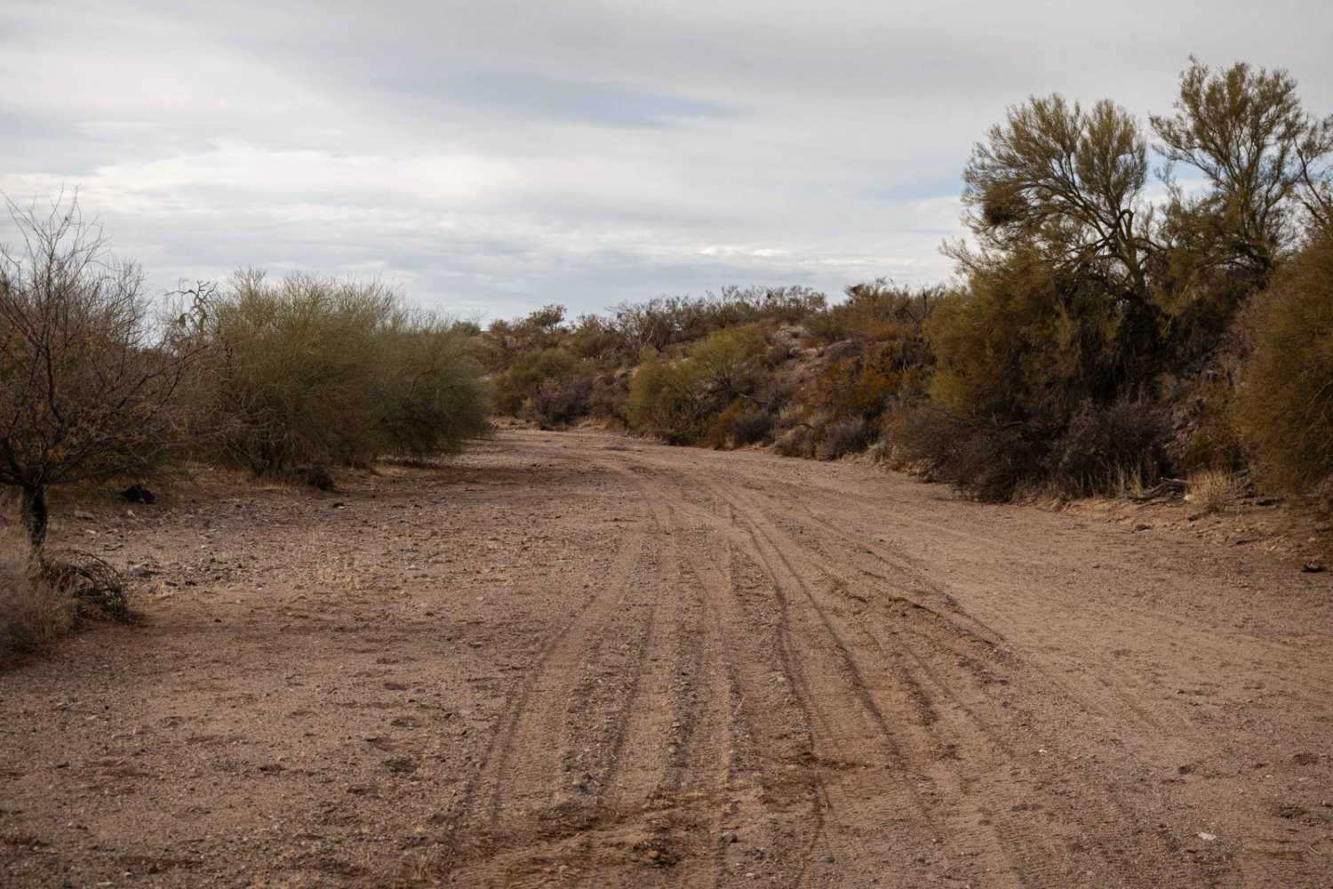
46066 Wash
Total Miles
1.2
Tech Rating
Easy
Best Time
Spring, Summer, Fall, Winter
ATV trails in Arizona
Learn more about Scrub Oak Bypass 
Scrub Oak Bypass
Total Miles
0.5
Tech Rating
Easy
Best Time
Spring, Summer, Fall


UTV/side-by-side trails in Arizona
Learn more about Scrub Oak Bypass
Scrub Oak Bypass
Total Miles
0.5
Tech Rating
Easy
Best Time
Spring, Summer, Fall
The onX Offroad Difference
onX Offroad combines trail photos, descriptions, difficulty ratings, width restrictions, seasonality, and more in a user-friendly interface. Available on all devices, with offline access and full compatibility with CarPlay and Android Auto. Discover what you’re missing today!