460--Soup
Total Miles
3.1
Technical Rating
Best Time
Spring, Summer, Fall, Winter
Trail Type
Full-Width Road
Accessible By
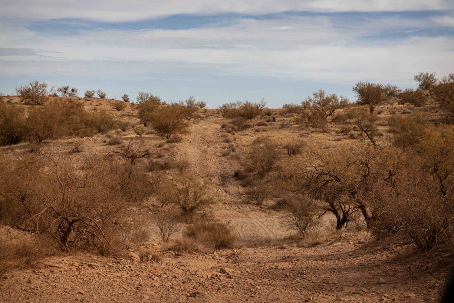
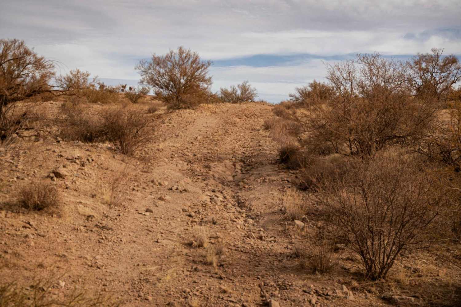
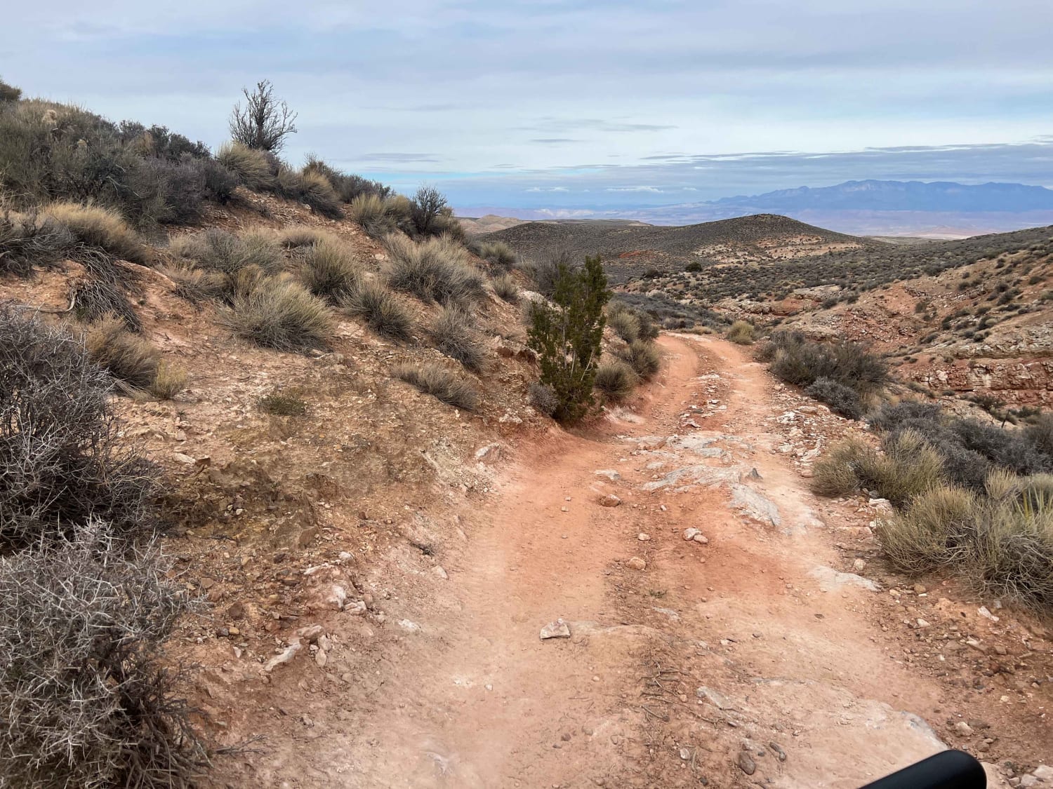
Trail Overview
The 460--Soup Trail lives up to its quirky name with a blend of rugged charm and straightforward navigation. In the rock section, you'll pass sporadic campsites and old mineshafts that throw back to the historical significance of this desert. There are wash crossings with steep entrances and exits, as well as the standard erosion and water damage that is frequently associated on trails in this area, as this land is perpetually shaped by wind and water. This narrow path meanders through rocky terrain, offering a classic off-road experience without any major obstacles to contend with. While the trail's compact width may demand careful driving in spots, it's a manageable and enjoyable route for enthusiasts seeking a slightly technical yet approachable adventure. The trail does drop into a wash, with narrow rock choke points and deep soft sand. Perfect for a casual outing with a bit of character!
Photos of 460--Soup
Difficulty
This is an unmaintained trail of varying terrain. The rocky section has short, steep hills, and wash crossings with steep entrances and exits. The wash section has deep soft sand that is perfect for getting stuck. There is no cell service in the area, so offline maps are essential.
Status Reports
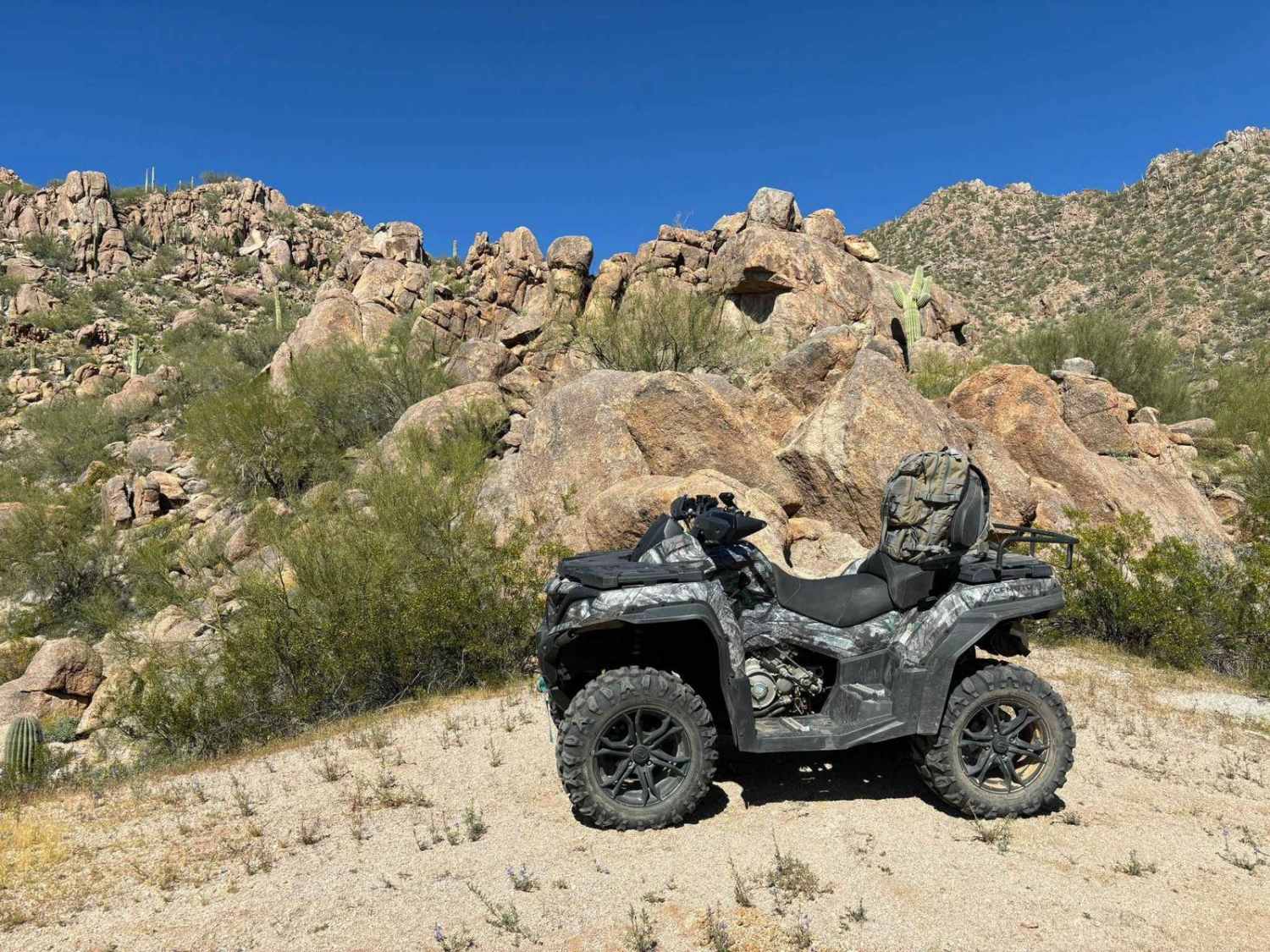
460--Soup can be accessed by the following ride types:
- High-Clearance 4x4
- SUV
- SxS (60")
- ATV (50")
- Dirt Bike
460--Soup Map
Popular Trails

West Silverbell Mountain Loop
Segmiller Mountain - Sunshine Trail Interconnect
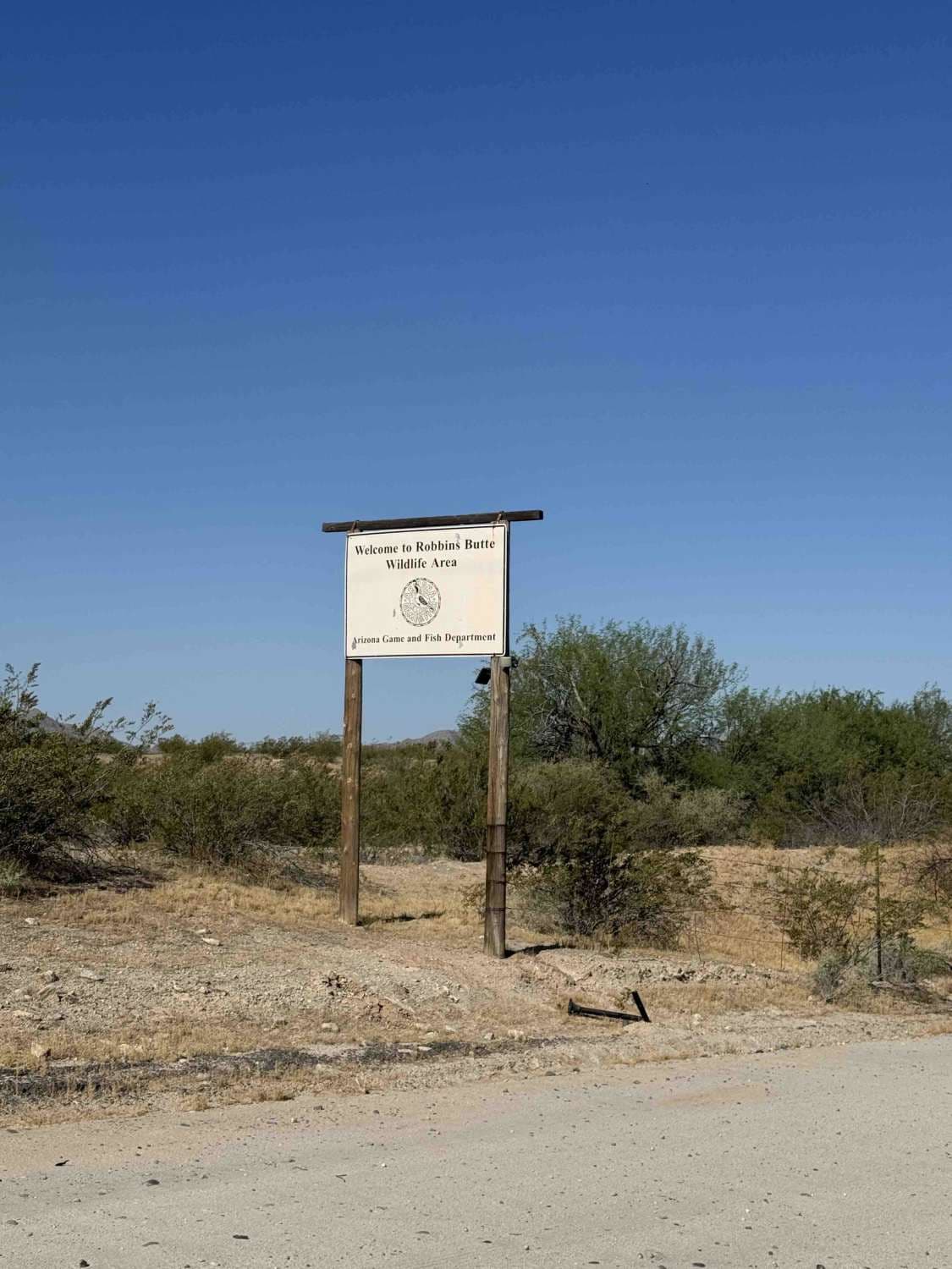
Robbins Butte Trail
The onX Offroad Difference
onX Offroad combines trail photos, descriptions, difficulty ratings, width restrictions, seasonality, and more in a user-friendly interface. Available on all devices, with offline access and full compatibility with CarPlay and Android Auto. Discover what you’re missing today!