398 Powerline
Total Miles
4.6
Technical Rating
Best Time
Spring, Winter, Fall
Trail Type
High-Clearance 4x4 Trail
Accessible By
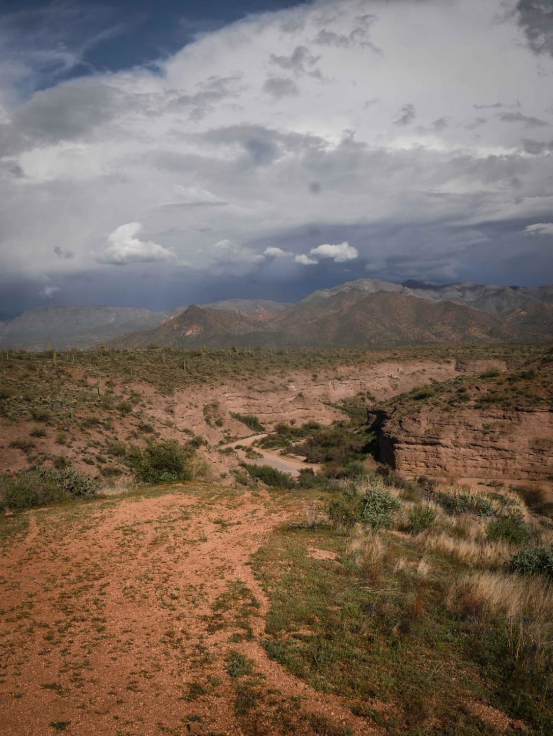
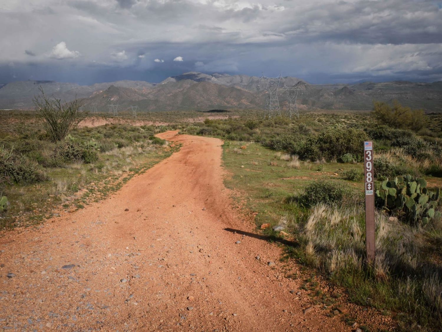
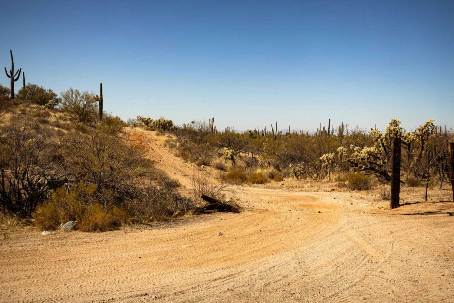
Trail Overview
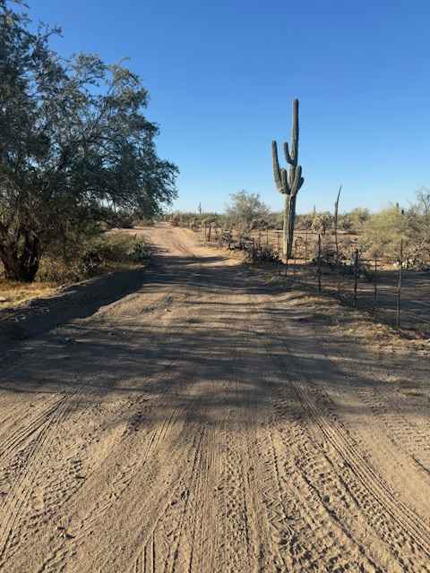
398 is a longer powerline trail in the Tonto National Forest near Camp Creek, Arizona. It's a main route from the west entrance to this OHV area off of North 14th Street and runs east, accessing tons of 4x4 trails before ending at an overlook of the canyon that is Camp Creek. A lot of it is a wide and easy dirt road beneath the powerlines on top of a wide-open mesa, sometimes on a rim overlooking the valley below. But it also has to go up and down a bunch of small hills to follow the powerline route. The small hills are often rutted and covered in loose rocks with washouts on the side of the trail to watch out for, which adds some difficulty. Although probably mostly taken to access other trails, it does have pretty cool views above the valley.
Photos of 398 Powerline
Difficulty
This is a relatively easy powerline trail with some ruts, slight grades, and washouts.
Status Reports
398 Powerline can be accessed by the following ride types:
- High-Clearance 4x4
- SxS (60")
- ATV (50")
- Dirt Bike
398 Powerline Map
Popular Trails
Paisano's Pathway

Nacho's Bar Cutover Tight Squeeze
The onX Offroad Difference
onX Offroad combines trail photos, descriptions, difficulty ratings, width restrictions, seasonality, and more in a user-friendly interface. Available on all devices, with offline access and full compatibility with CarPlay and Android Auto. Discover what you’re missing today!