Off-Road Trails in Arizona
Discover off-road trails in Arizona
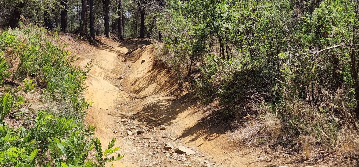
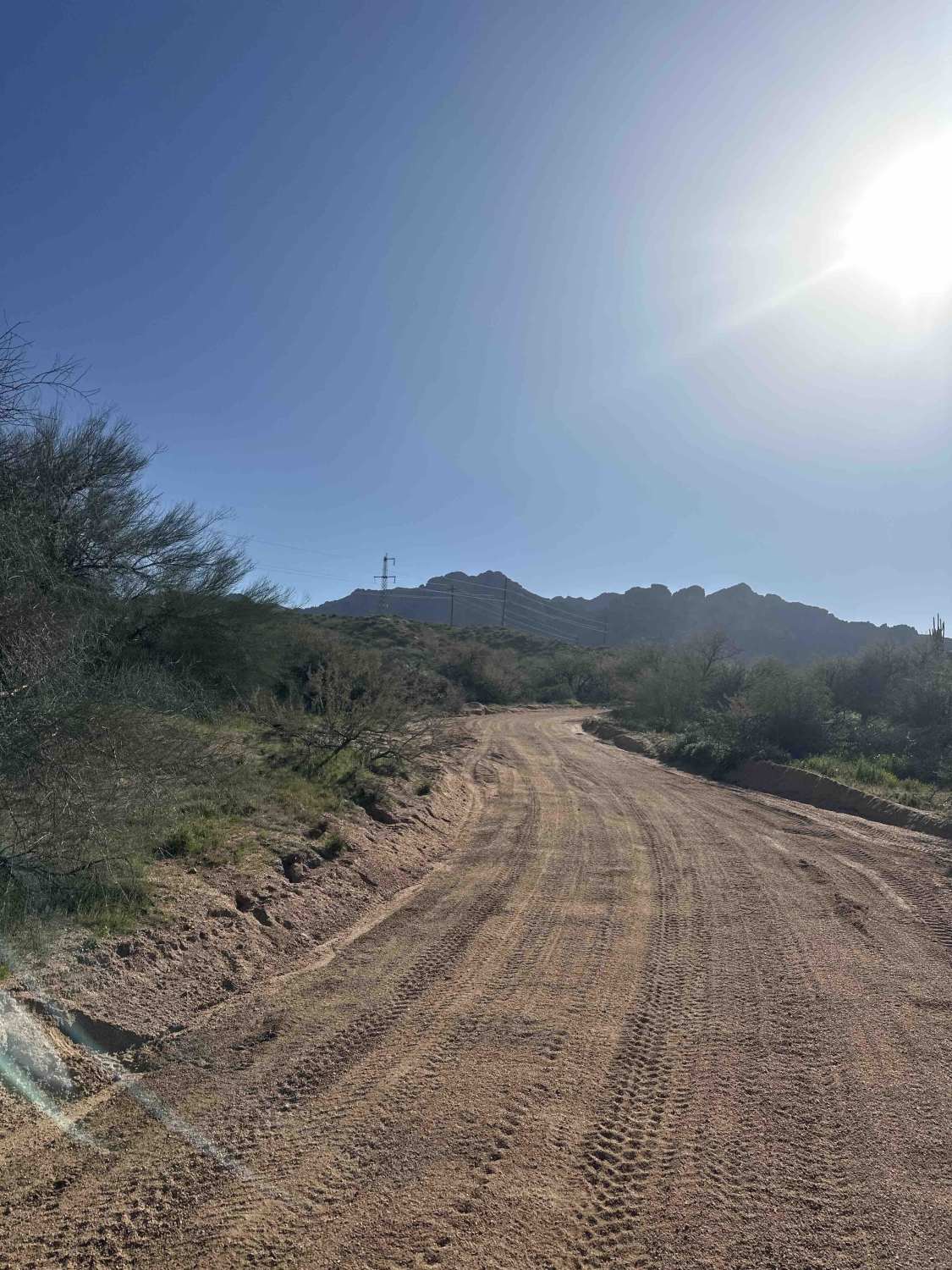
Learn more about 7 Mile Tank Road
7 Mile Tank Road
Total Miles
1.4
Tech Rating
Easy
Best Time
Spring, Summer, Fall
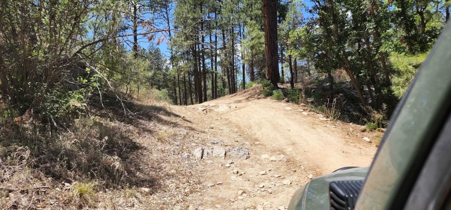
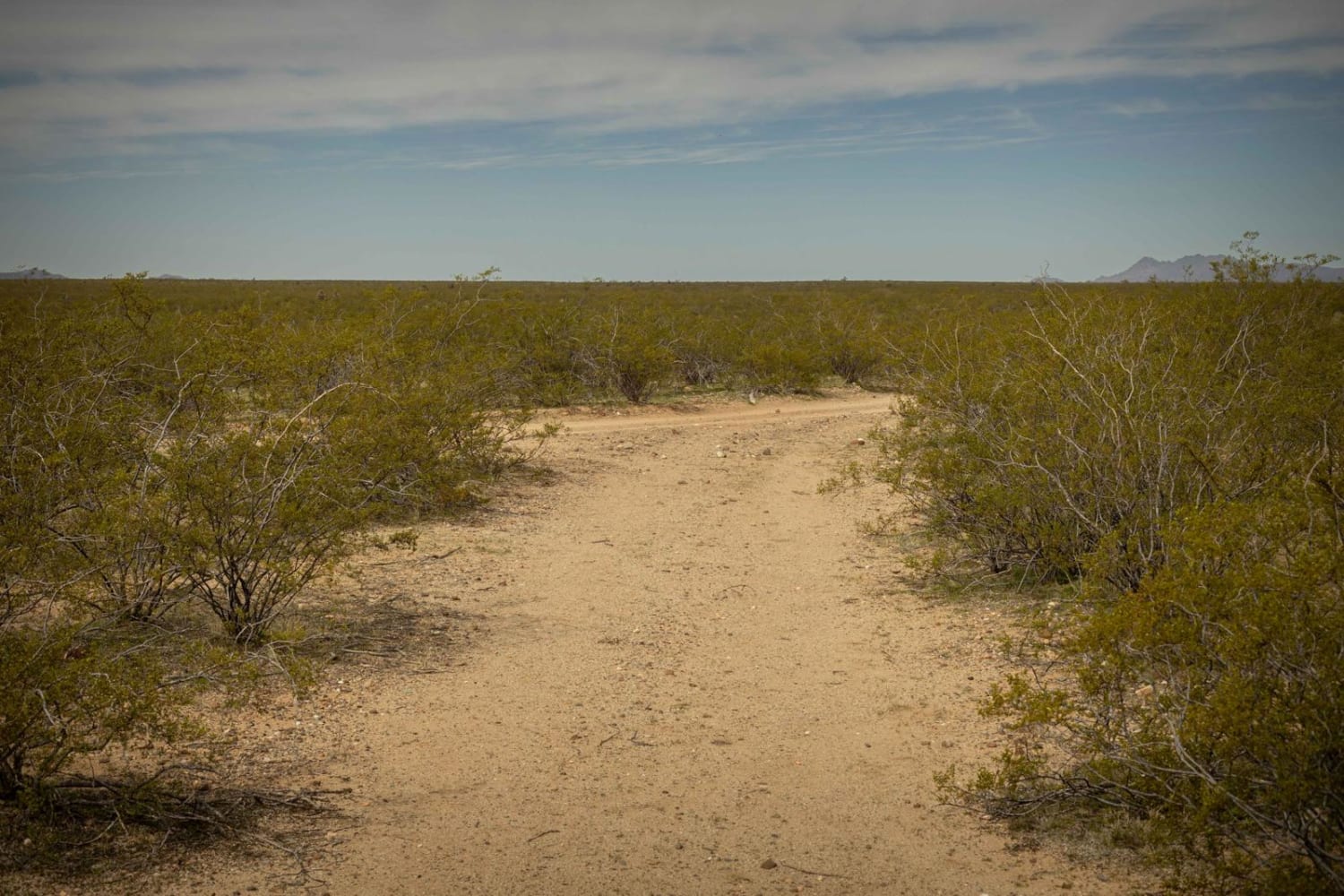
Learn more about 71 Powerlines to the Railroad
71 Powerlines to the Railroad
Total Miles
7.1
Tech Rating
Easy
Best Time
Spring, Fall, Winter
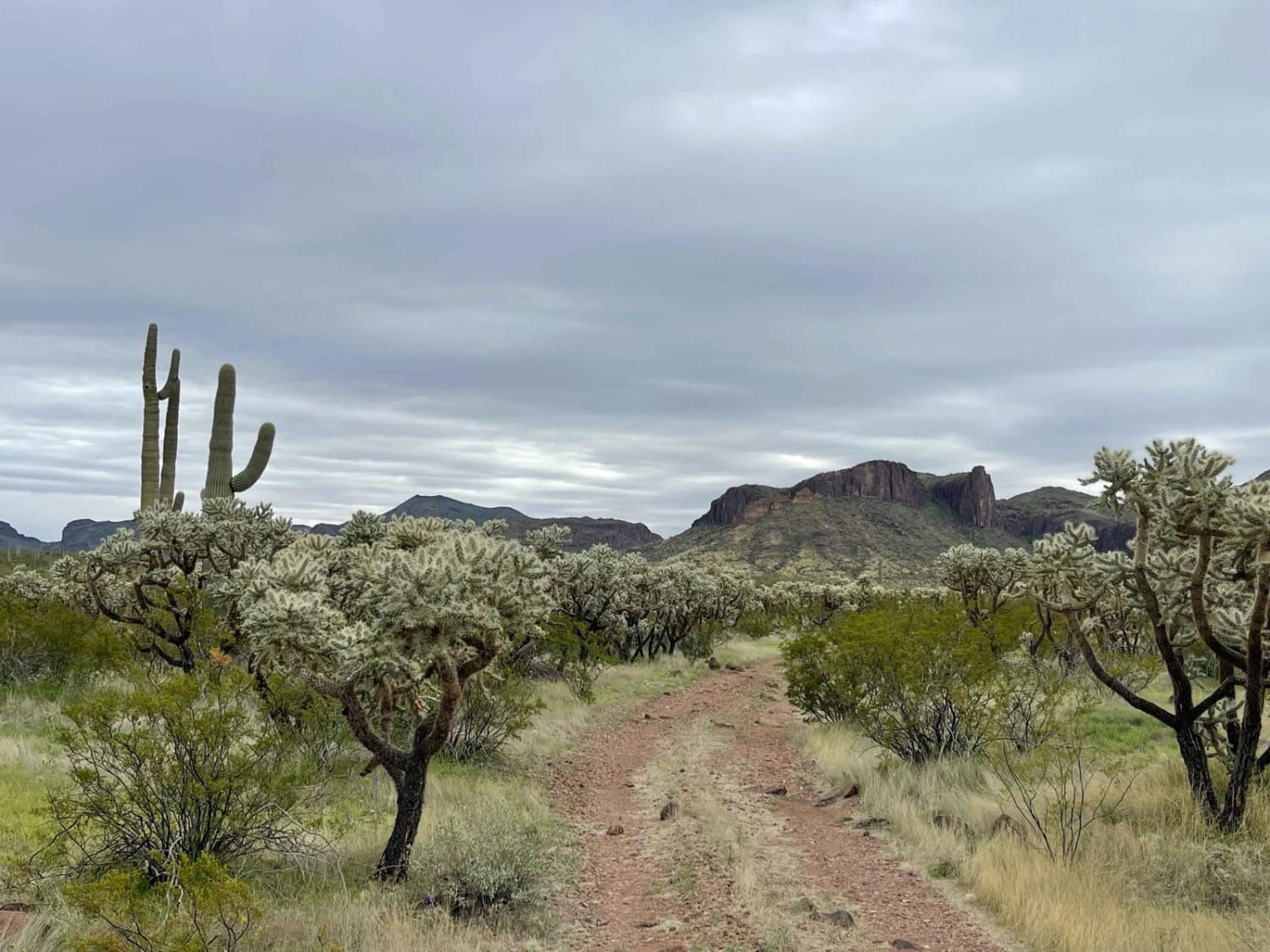
Learn more about 74B Connector
74B Connector
Total Miles
1.4
Tech Rating
Easy
Best Time
Spring, Summer, Fall
Learn more about 776 / Powerline Road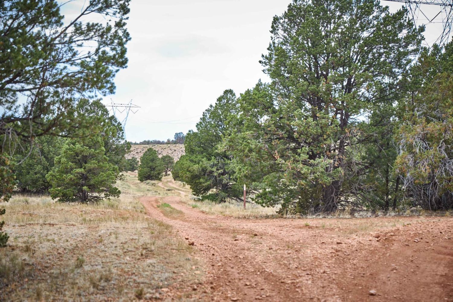
776 / Powerline Road
Total Miles
4.5
Tech Rating
Easy
Best Time
Spring, Summer, Fall
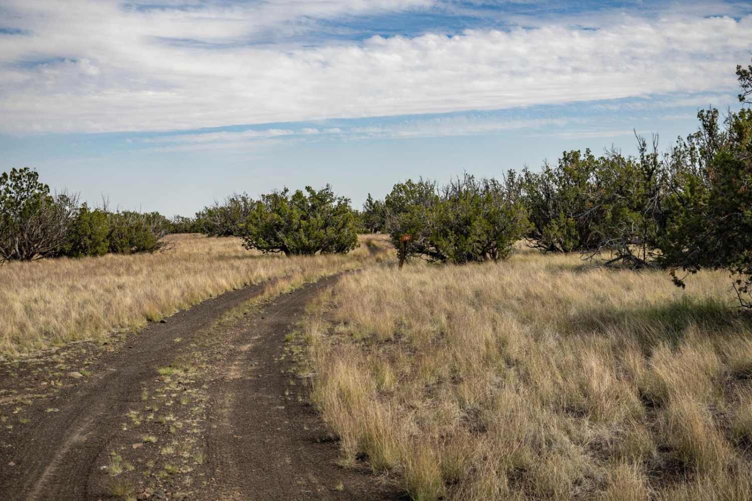
Learn more about 8011 to Papago Indian Chief Mine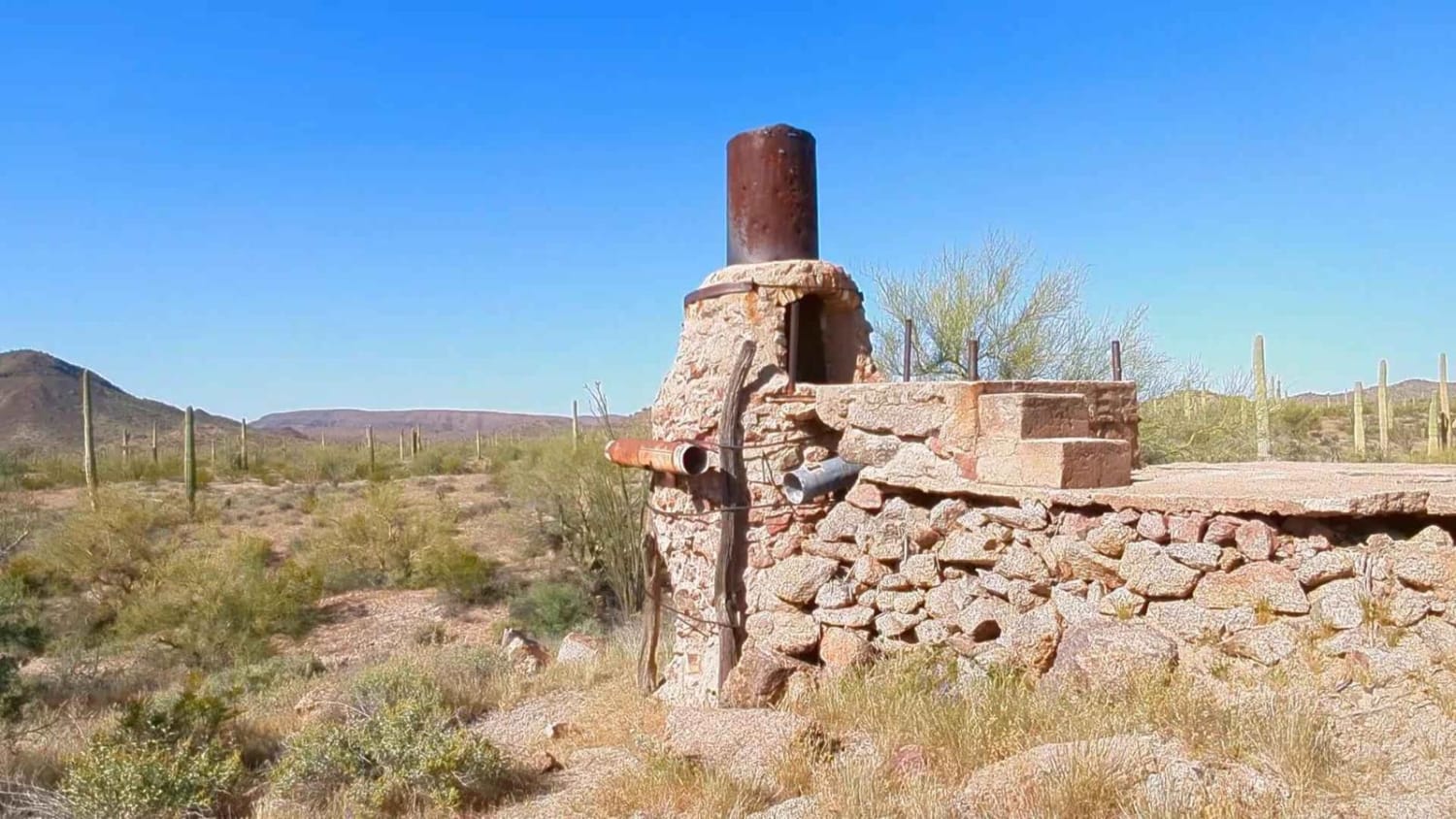
8011 to Papago Indian Chief Mine
Total Miles
17.1
Tech Rating
Moderate
Best Time
Spring, Fall, Winter


ATV trails in Arizona
Learn more about Scrub Oak Bypass 
Scrub Oak Bypass
Total Miles
0.5
Tech Rating
Easy
Best Time
Spring, Summer, Fall


UTV/side-by-side trails in Arizona
Learn more about Scrub Oak Bypass
Scrub Oak Bypass
Total Miles
0.5
Tech Rating
Easy
Best Time
Spring, Summer, Fall
The onX Offroad Difference
onX Offroad combines trail photos, descriptions, difficulty ratings, width restrictions, seasonality, and more in a user-friendly interface. Available on all devices, with offline access and full compatibility with CarPlay and Android Auto. Discover what you’re missing today!