481
Total Miles
2.0
Technical Rating
Best Time
Winter, Spring, Fall
Trail Type
Single Track
Accessible By
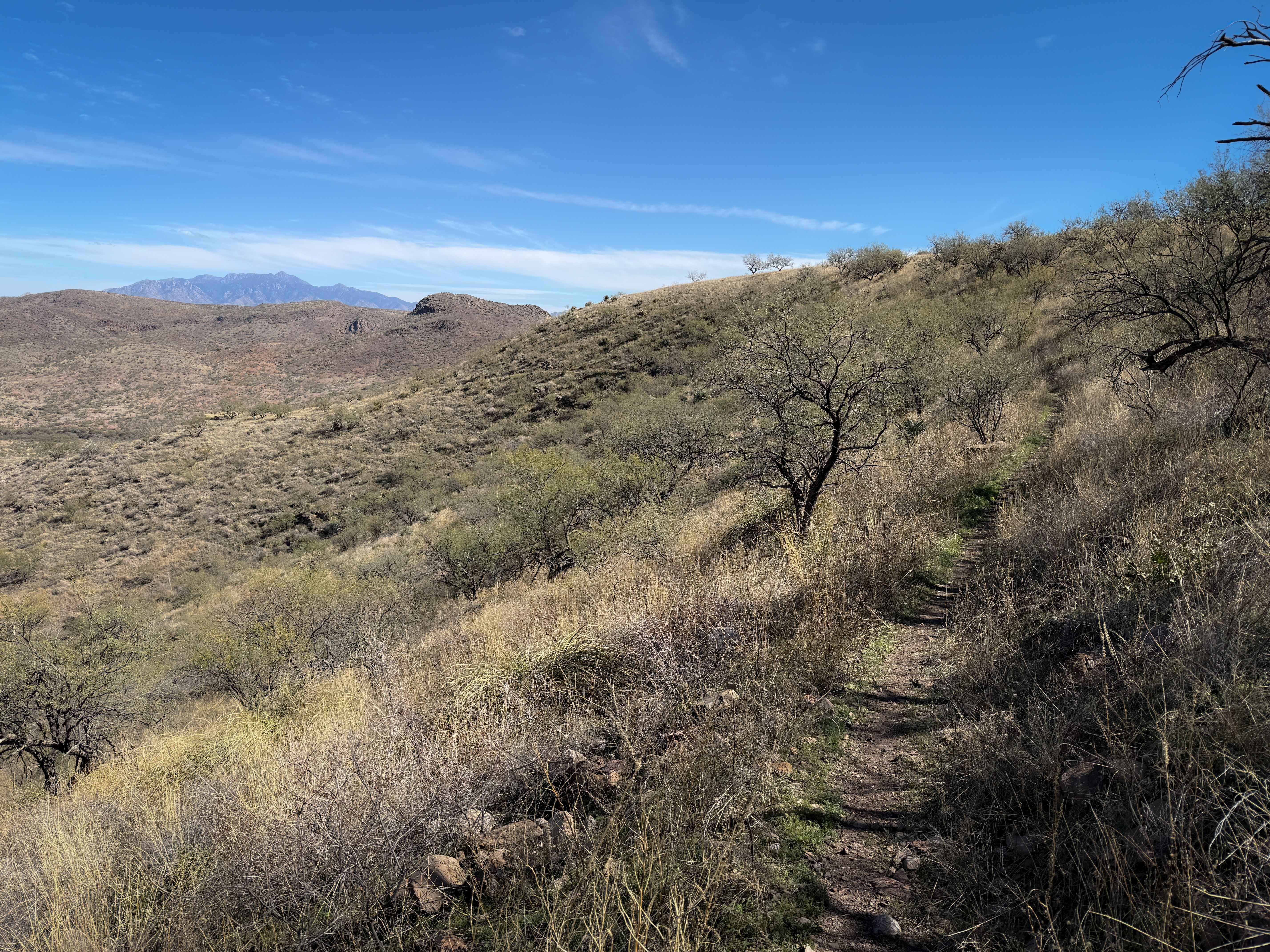
Trail Overview
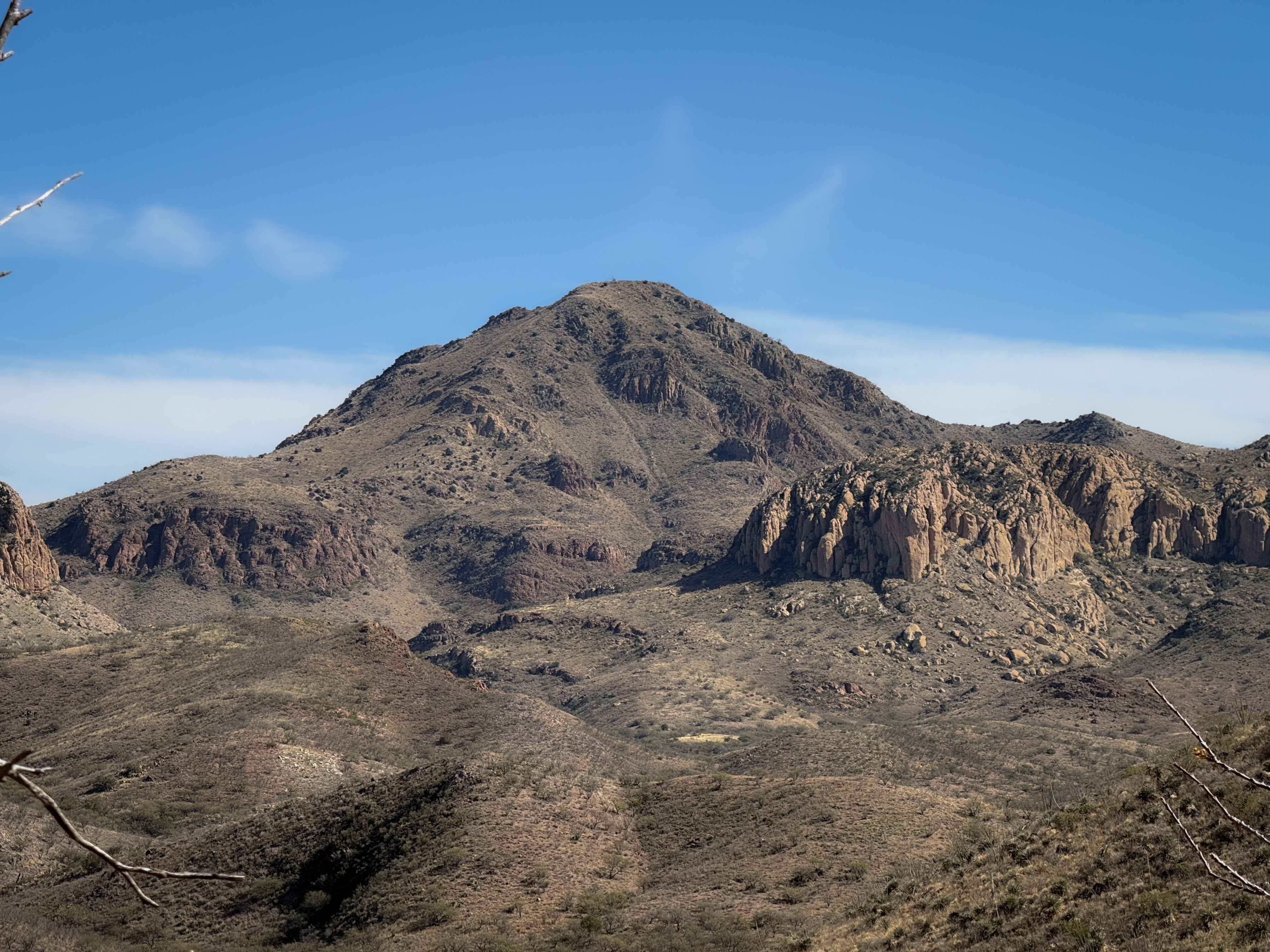
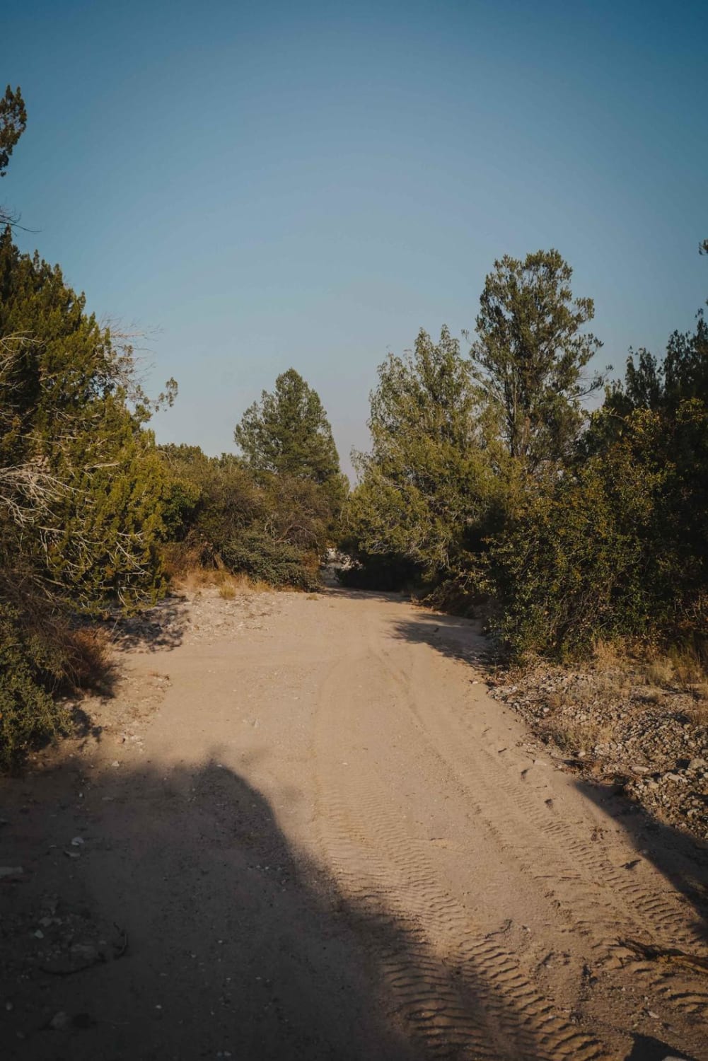
The west end of this trail starts as road-width, winding through the mesquite trees, over a layer of small loose rocks. The trail starts to climb up the rolling desert hill along a fence line, with ruts and baby head rocks, riding past prickly pear cactus and ocotillos. At the top of the hill, the trail turns left through the fence at a metal grate pinch point. From here, the trail turns back into true single track and starts side-hilling across a grassy slope. You get great views from here out towards the distant rugged desert peaks with jagged rocky outcroppings. The single track is narrow, with ocotillos and other spiky plants encroaching over the trail, and is constantly full of loose rocks. It has small climbs up and down, and a steeper descent on the east end down to the intersection with 482.
Photos of 481
Difficulty
Despite some mild side-hilling, frequent loose rocks, and a few steeper, loose climbs and descents, this is still an easy trail that is more approachable for less experienced riders compared to the many intermediate trails in the trail system. The west half is an easy road-width trail.
Status Reports
481 can be accessed by the following ride types:
- Dirt Bike
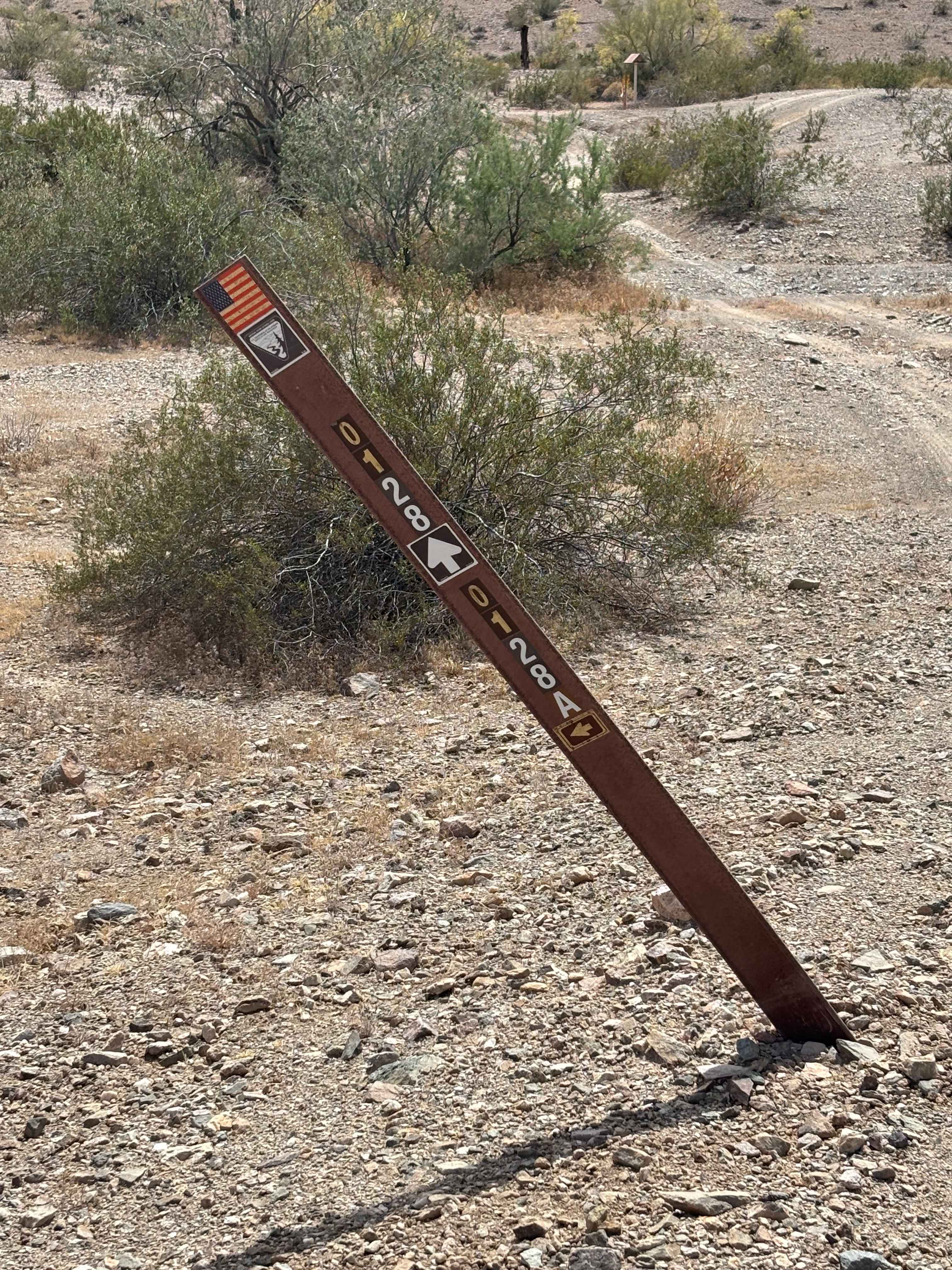
481 Map
Popular Trails

71 Powerlines to the Railroad
Hieroglyphic Mountain Loop
Middle Wash #525
The onX Offroad Difference
onX Offroad combines trail photos, descriptions, difficulty ratings, width restrictions, seasonality, and more in a user-friendly interface. Available on all devices, with offline access and full compatibility with CarPlay and Android Auto. Discover what you’re missing today!