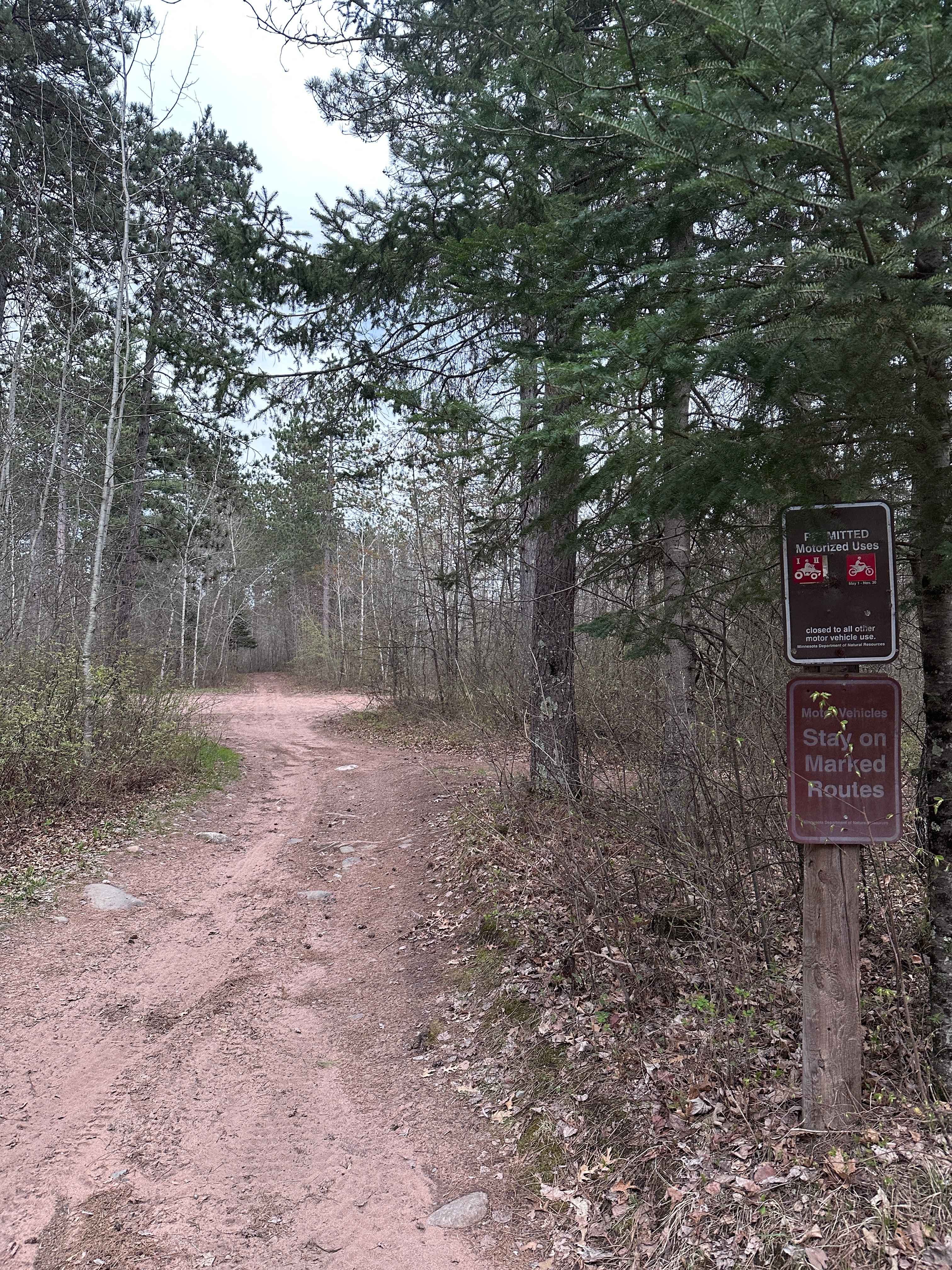
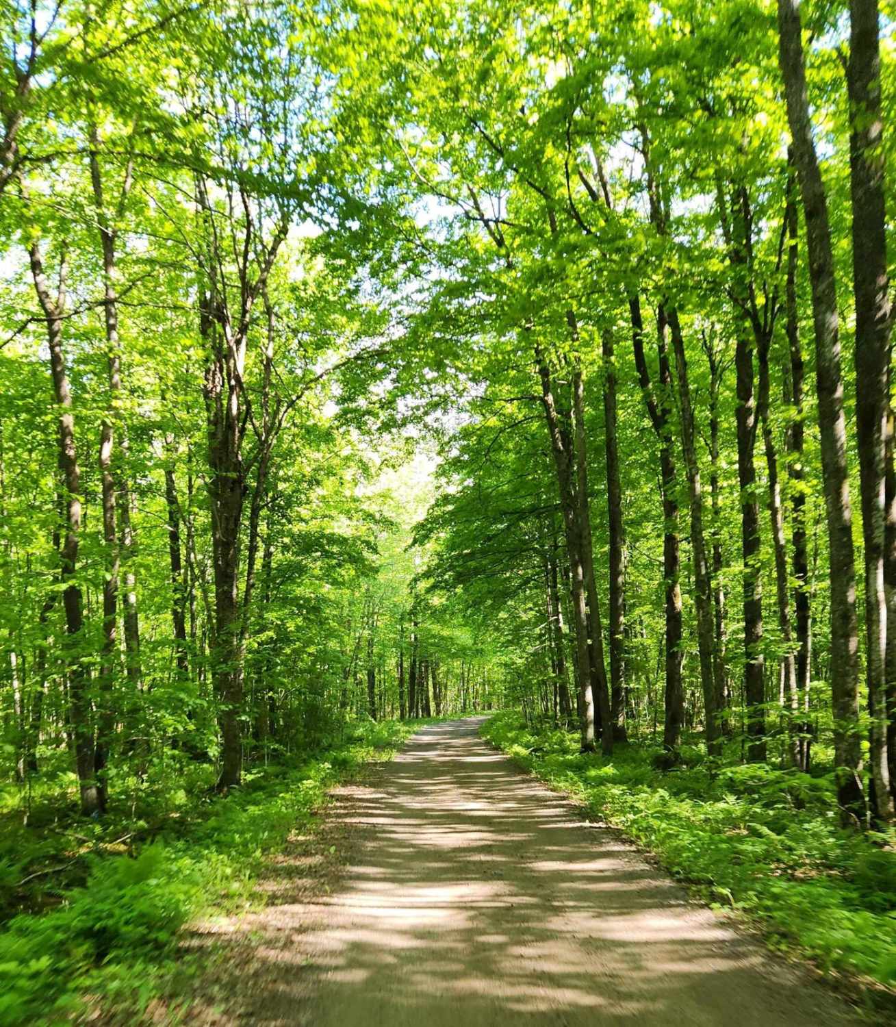
Off-Road Trails in Wisconsin
Discover off-road trails in Wisconsin
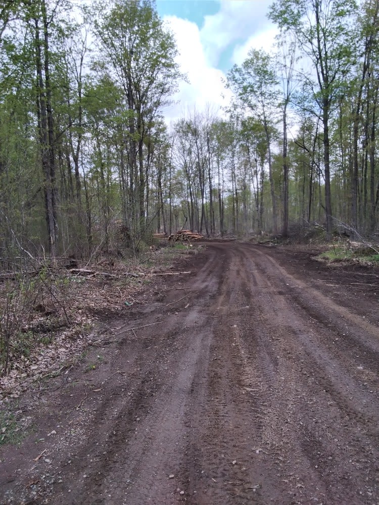
Learn more about Goodman Park Road - FS 2136
Goodman Park Road - FS 2136
Total Miles
10.7
Tech Rating
Easy
Best Time
Spring, Summer, Fall
Learn more about Half Nelson - West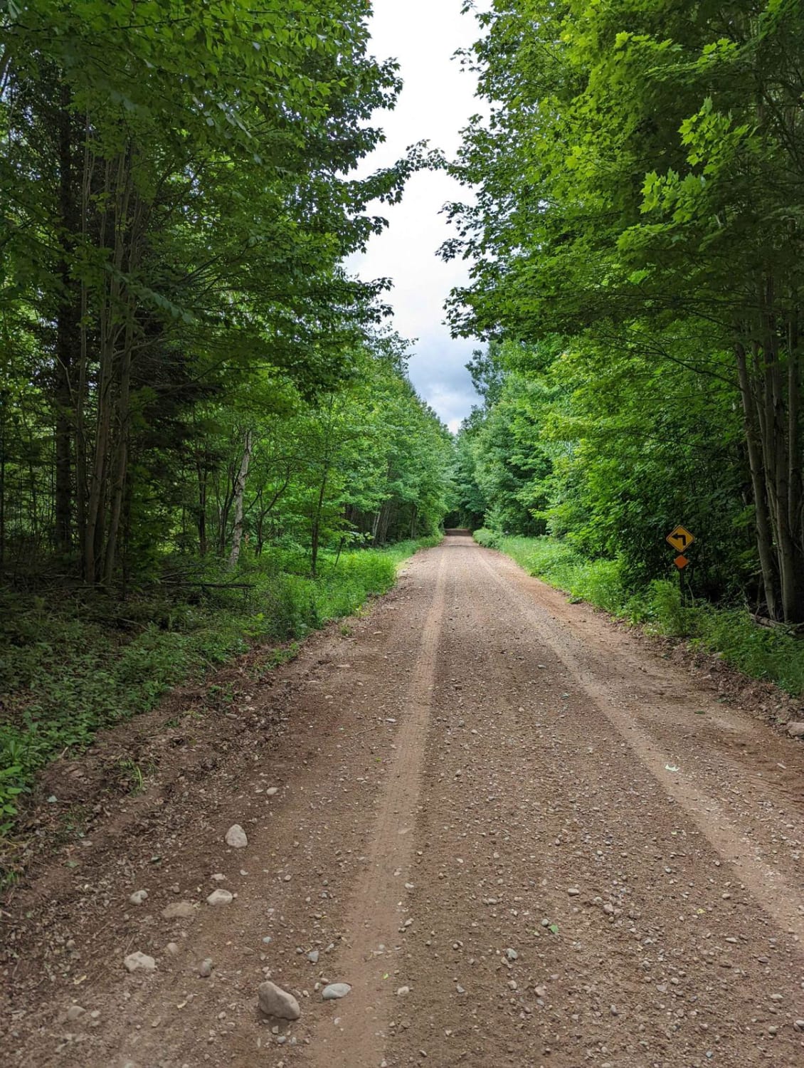
Half Nelson - West
Total Miles
4.5
Tech Rating
Easy
Best Time
Fall, Summer, Spring
Learn more about Harrison Hills ATV West Branch
Harrison Hills ATV West Branch
Total Miles
15.2
Tech Rating
Moderate
Best Time
Fall
Learn more about Harrison Hills Trails
Harrison Hills Trails
Total Miles
65.0
Tech Rating
Moderate
Best Time
Spring, Summer, Fall
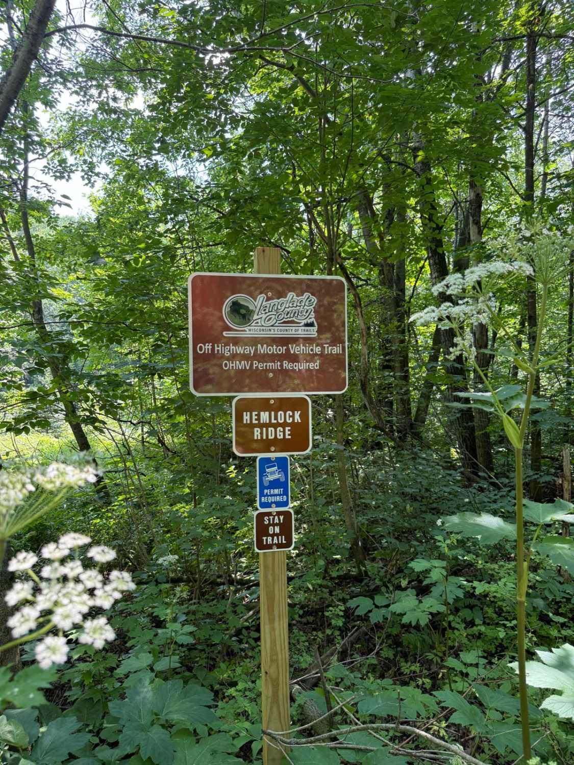
Learn more about Hemlock North/South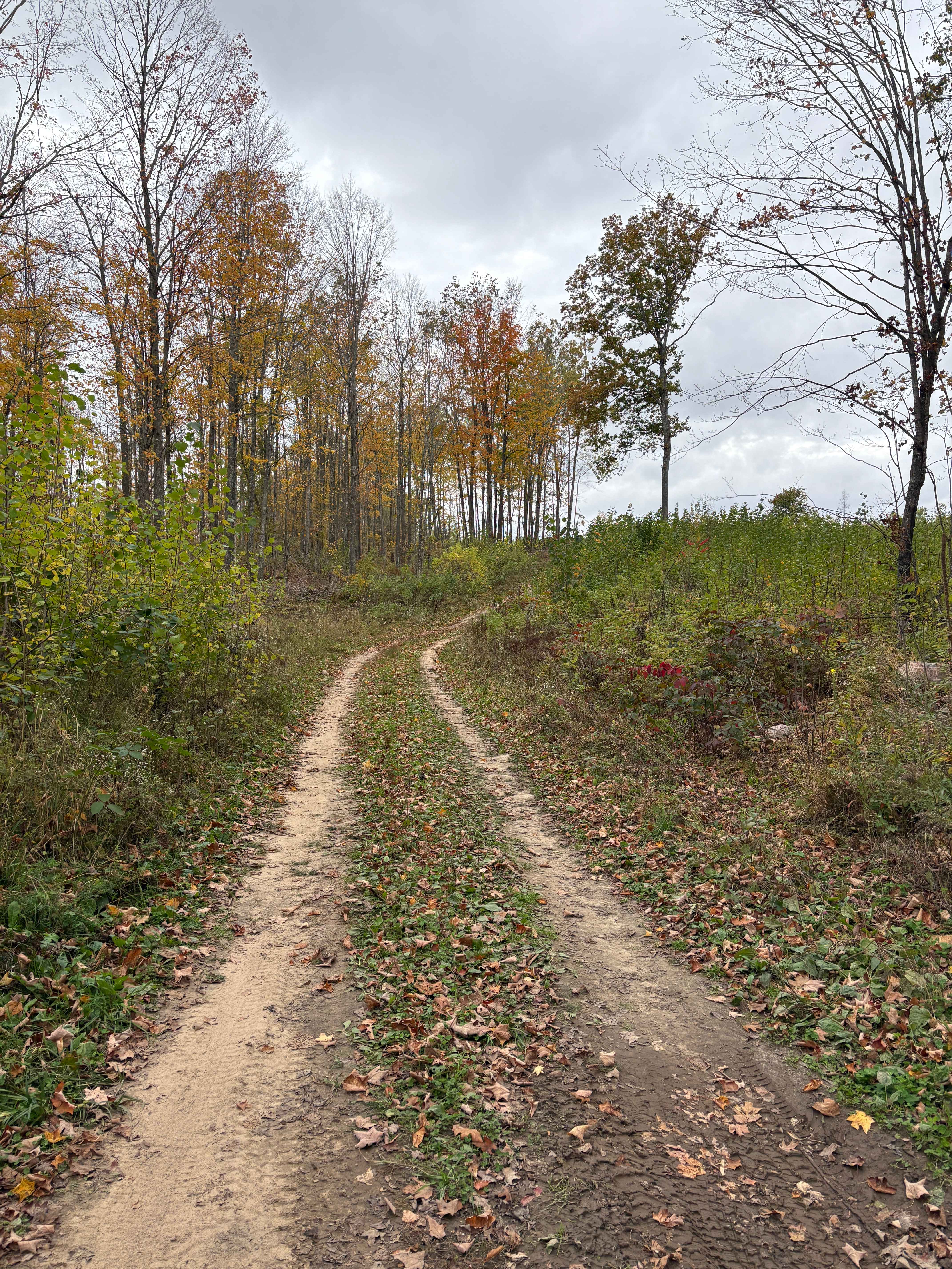
Hemlock North/South
Total Miles
0.7
Tech Rating
Easy
Best Time
Spring, Fall, Summer
Learn more about Horseshoe Lake
Horseshoe Lake
Total Miles
7.2
Tech Rating
Easy
Best Time
Fall, Summer, Spring
Learn more about Indian Market Road - FS 2139
Indian Market Road - FS 2139
Total Miles
4.9
Tech Rating
Easy
Best Time
Spring, Summer, Fall
Learn more about Jack Pine Camp Road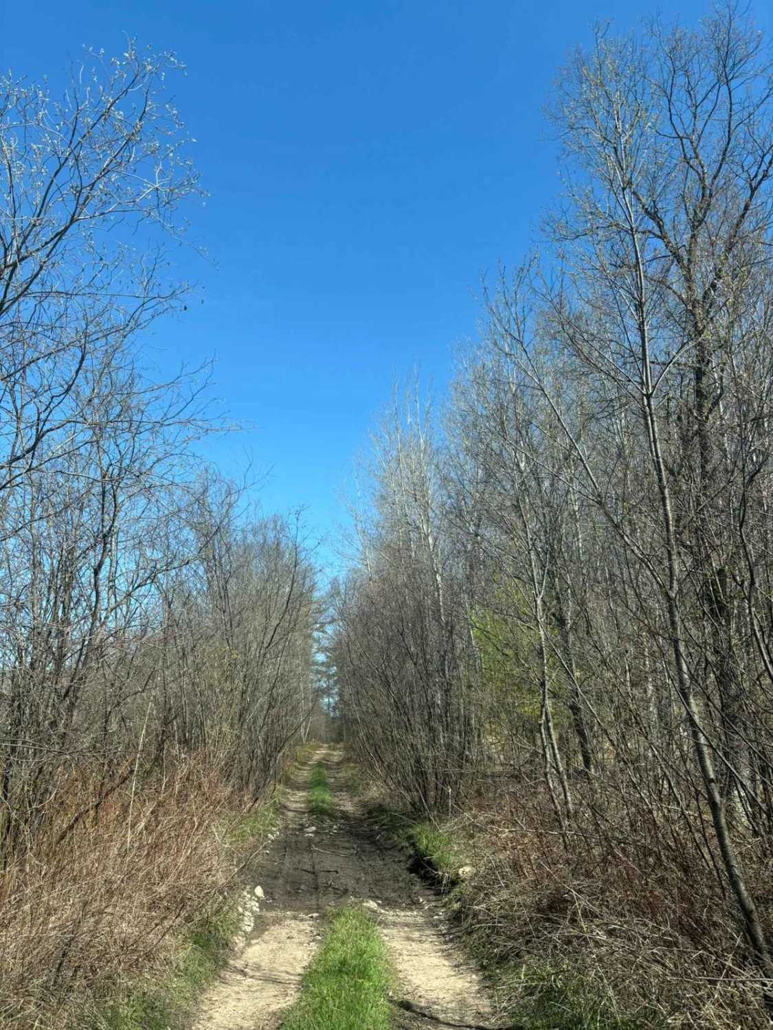
Jack Pine Camp Road
Total Miles
1.5
Tech Rating
Easy
Best Time
Spring, Summer, Fall
Learn more about Jim Hausinger Memorial Trail
Jim Hausinger Memorial Trail
Total Miles
3.8
Tech Rating
Moderate
Best Time
Spring, Summer, Fall
Learn more about Jones Dam FR 2177
Jones Dam FR 2177
Total Miles
4.3
Tech Rating
Easy
Best Time
Spring, Summer, Fall
Learn more about Keyes Lake Loop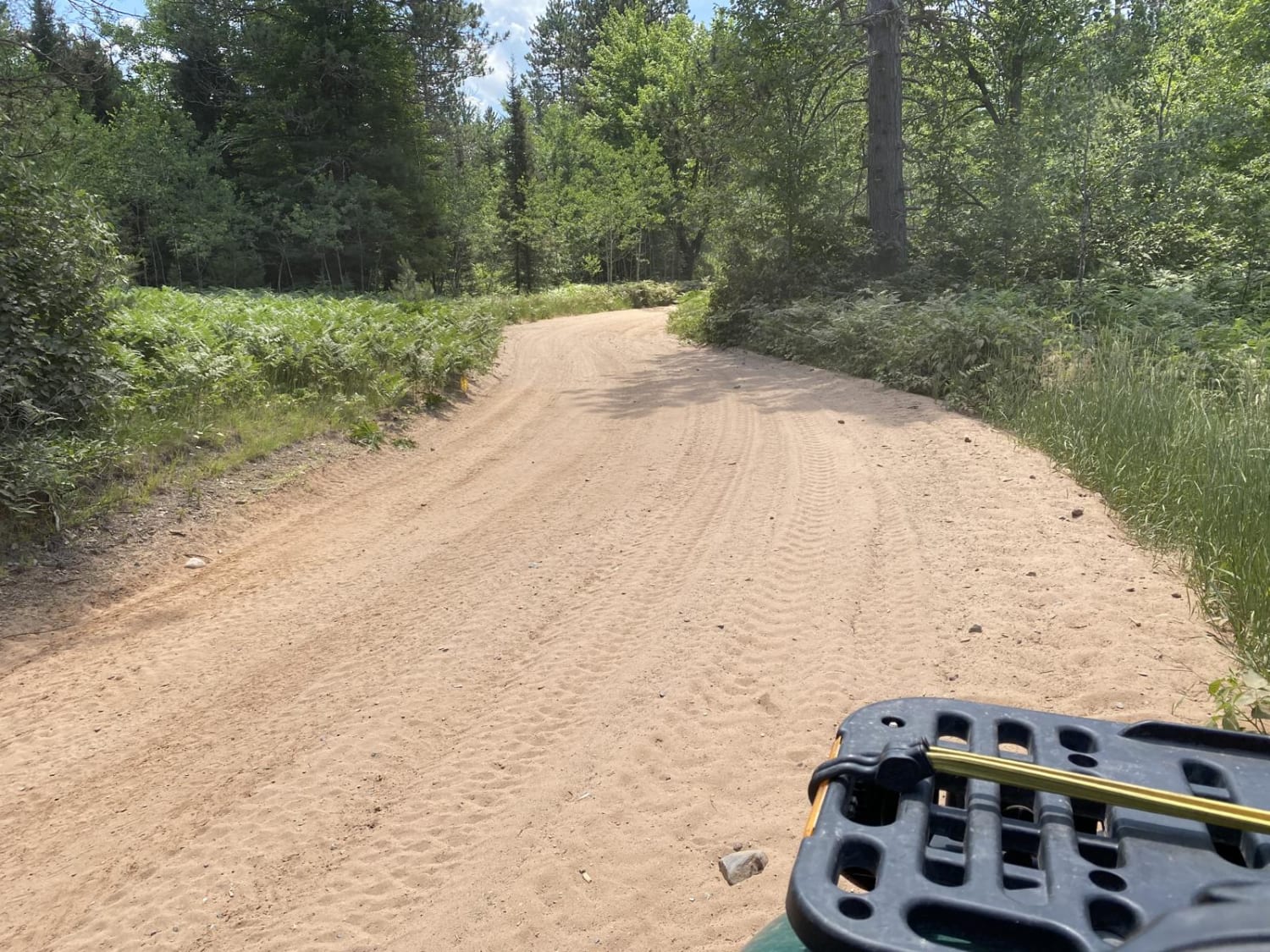
Keyes Lake Loop
Total Miles
4.2
Tech Rating
Easy
Best Time
Spring, Summer, Fall
Learn more about La Salle Trail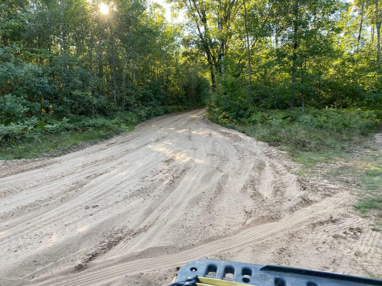
La Salle Trail
Total Miles
22.9
Tech Rating
Easy
Best Time
Spring, Summer, Fall
Learn more about Lake Emily to Spread Eagle
Lake Emily to Spread Eagle
Total Miles
17.1
Tech Rating
Easy
Best Time
Spring, Summer, Fall
Learn more about Long Lake Road - FS 2168
Long Lake Road - FS 2168
Total Miles
6.0
Tech Rating
Easy
Best Time
Spring, Summer, Fall, Winter
Learn more about Marinette County 16E/W Pembine 
Marinette County 16E/W Pembine
Total Miles
8.2
Tech Rating
Easy
Best Time
Spring, Summer, Fall
ATV trails in Wisconsin
Learn more about #409-425 Pipeline Road to HWY 64 East
#409-425 Pipeline Road to HWY 64 East
Total Miles
31.2
Tech Rating
Easy
Best Time
Spring, Summer, Fall
Learn more about Barrens Loop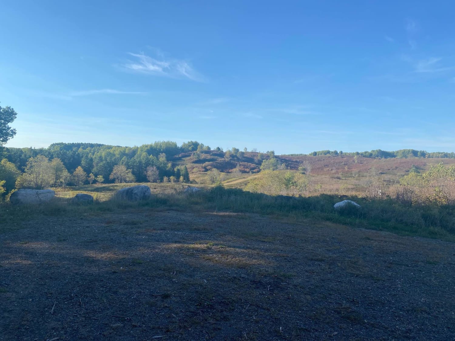
Barrens Loop
Total Miles
2.7
Tech Rating
Easy
Best Time
Summer, Winter, Fall, Spring
Learn more about Bayfield Timber Trail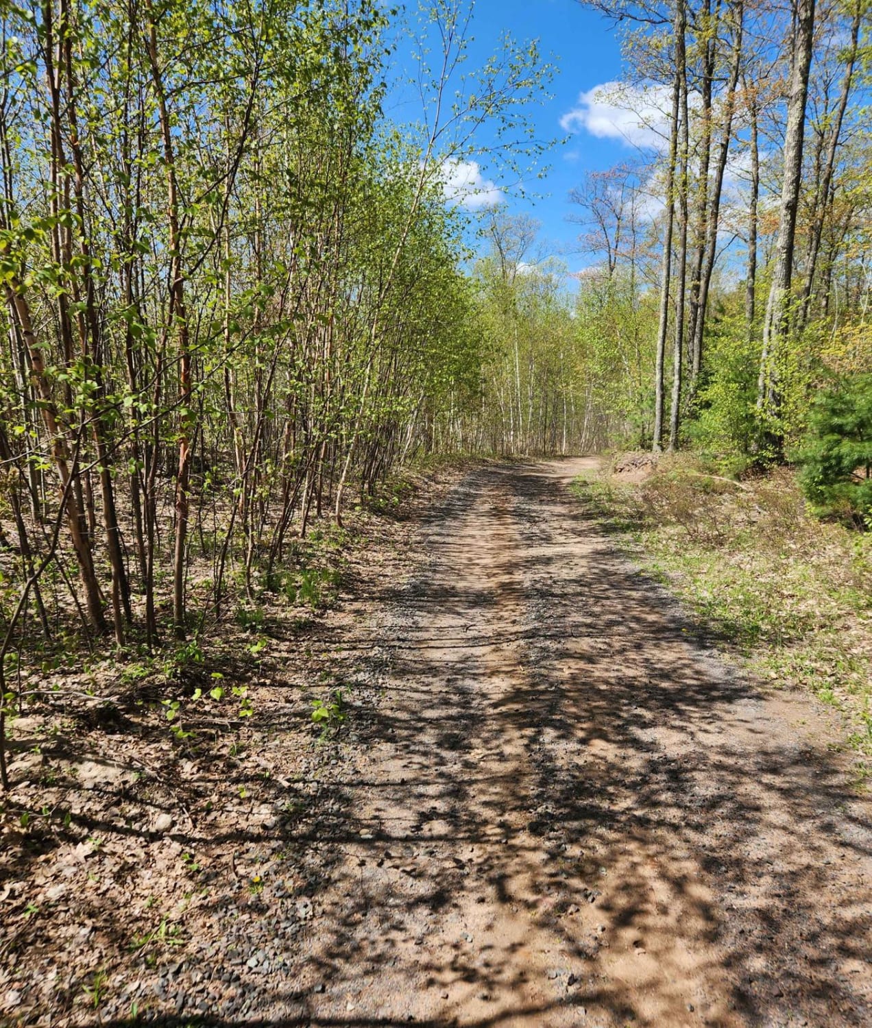
Bayfield Timber Trail
Total Miles
4.2
Tech Rating
Easy
Best Time
Fall, Summer, Spring
UTV/side-by-side trails in Wisconsin
Learn more about #409-425 Pipeline Road to HWY 64 East
#409-425 Pipeline Road to HWY 64 East
Total Miles
31.2
Tech Rating
Easy
Best Time
Spring, Summer, Fall
Learn more about Barrens Loop
Barrens Loop
Total Miles
2.7
Tech Rating
Easy
Best Time
Summer, Winter, Fall, Spring
Learn more about Barron to Cameron - Blueberry Trail Extension
Barron to Cameron - Blueberry Trail Extension
Total Miles
7.2
Tech Rating
Easy
Best Time
Summer, Fall
The onX Offroad Difference
onX Offroad combines trail photos, descriptions, difficulty ratings, width restrictions, seasonality, and more in a user-friendly interface. Available on all devices, with offline access and full compatibility with CarPlay and Android Auto. Discover what you’re missing today!