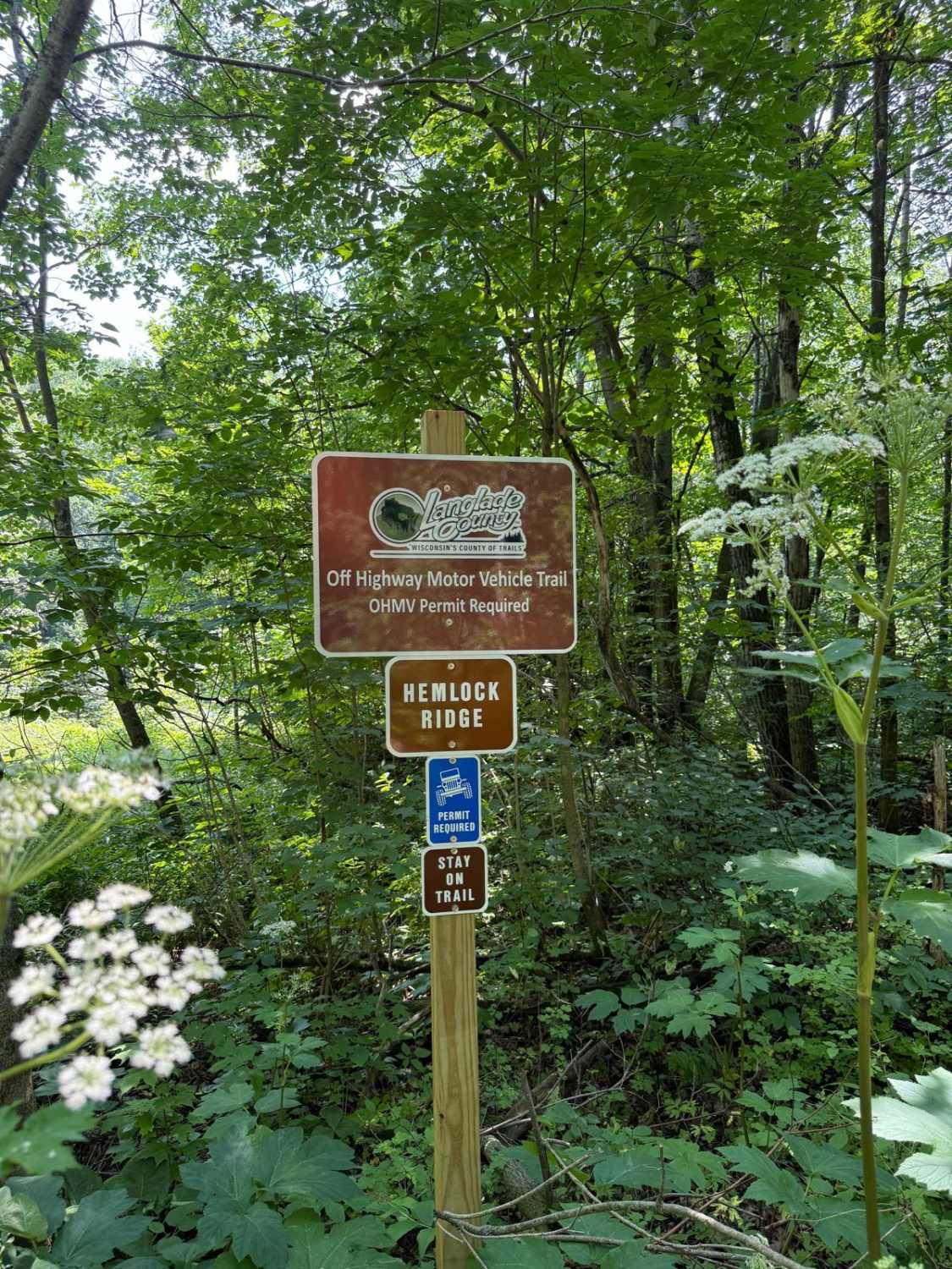
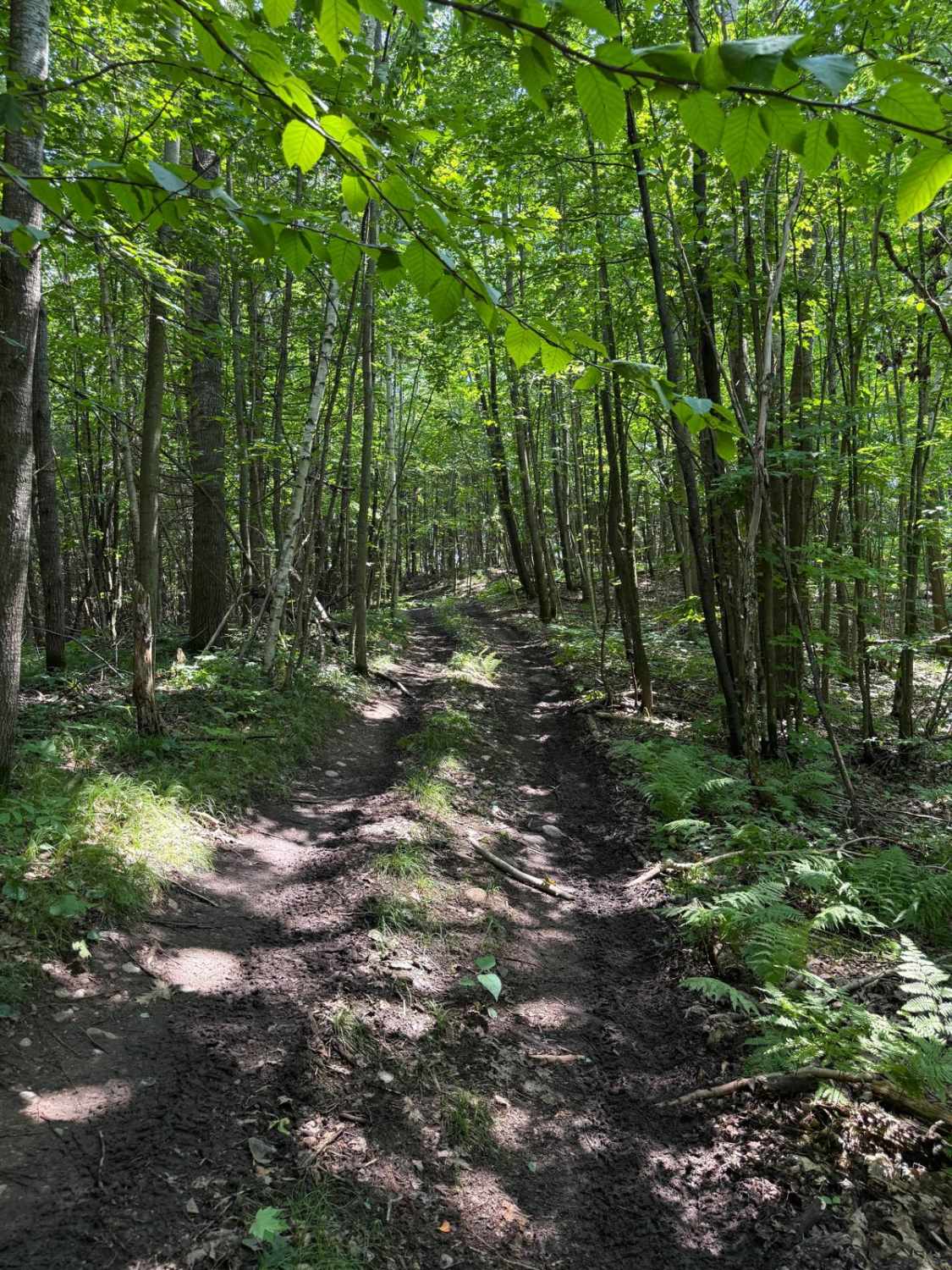
Hemlock Ridge
Total Miles
0.6
Technical Rating
Best Time
Fall, Summer
Trail Type
Full-Width Road
Accessible By
Trail Overview
Steep hills with small to medium-sized rocks, some larger rocks here and there, the hills are pretty slippery after a rain. A good amount of off-camber areas where a locker would be helpful. This is a through trail that ends at a T-intersection, to the right at the intersection is Hemlock North, and to the left is Hemlock South. This trail is rated intermediate by Langlade County.
Photos of Hemlock Ridge
Difficulty
There is a couple of hill climbs with larger rocks up to 2 feet, mixed with mud. Some off camber areas and some water holes around 18" deep. The trail is very slippery when wet. A couple of the rocks obstacles require careful lines with risk of body damage
History
This trail system was recently made official by the 4 Lakes 4 Wheelers Off-Road Club. It is owned by Langlade County, and the trails were originally logging roads.
Status Reports
Hemlock Ridge can be accessed by the following ride types:
- High-Clearance 4x4
- SUV
Hemlock Ridge Map
Popular Trails

Marinette County 16E/W Pembine

Pembine 16 East Trail Head FR 1006
The onX Offroad Difference
onX Offroad combines trail photos, descriptions, difficulty ratings, width restrictions, seasonality, and more in a user-friendly interface. Available on all devices, with offline access and full compatibility with CarPlay and Android Auto. Discover what you’re missing today!