Marinette County 16E/W Pembine
Total Miles
8.2
Technical Rating
Best Time
Spring, Summer, Fall
Trail Type
60" Trail
Accessible By
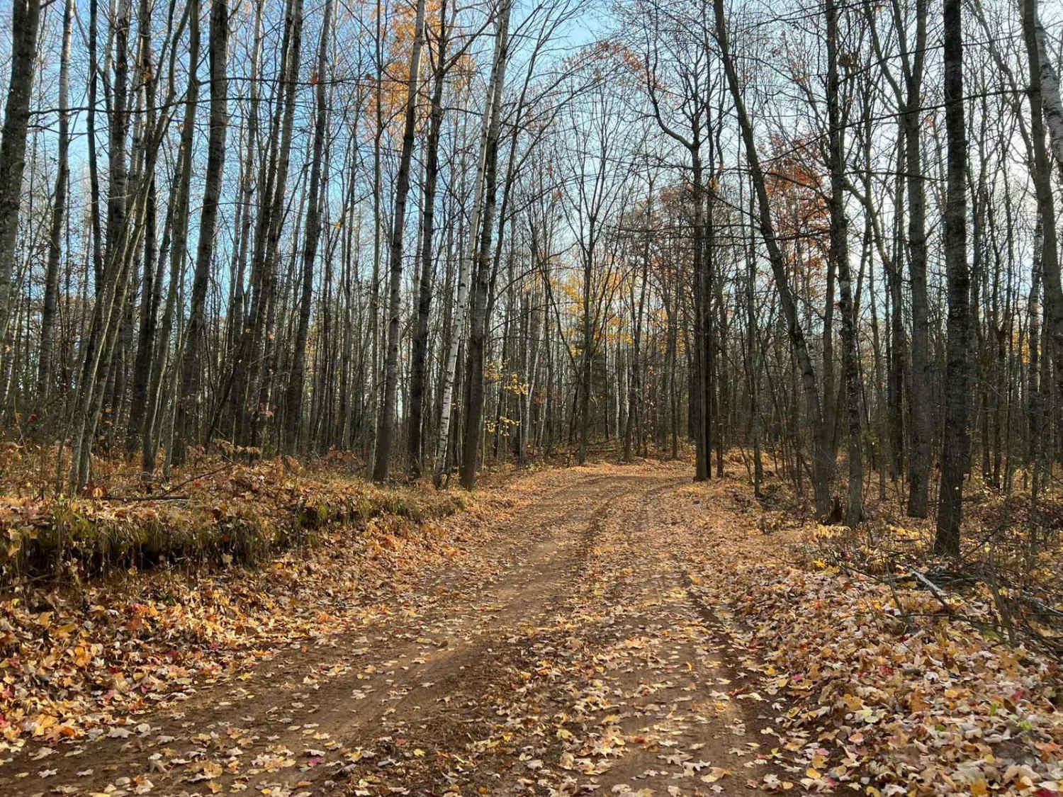
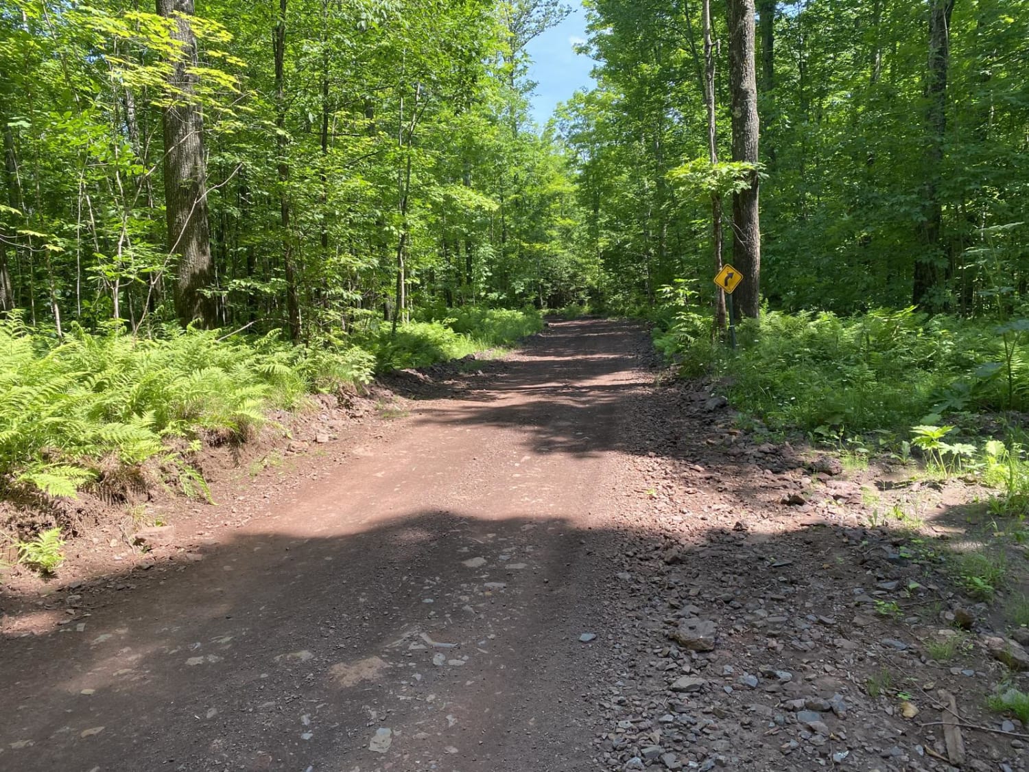
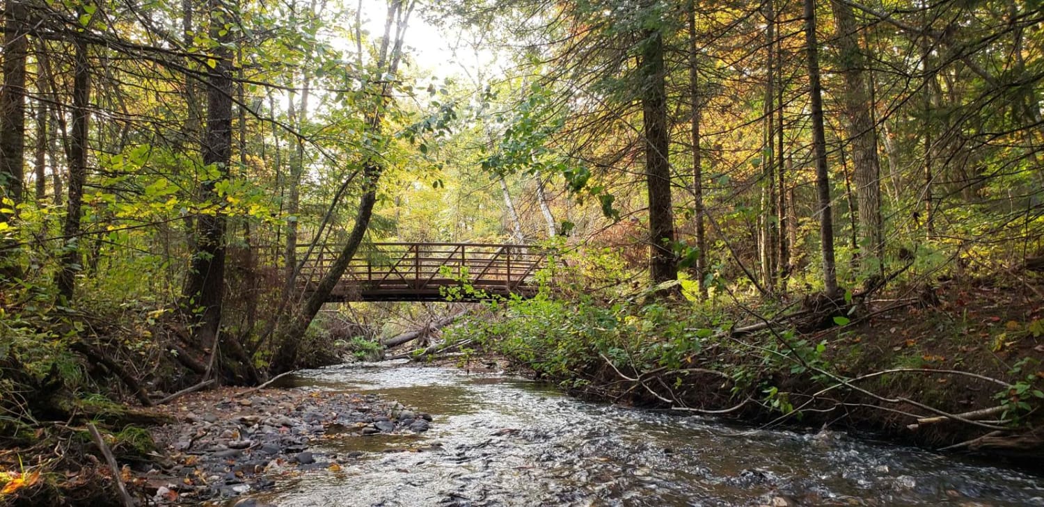
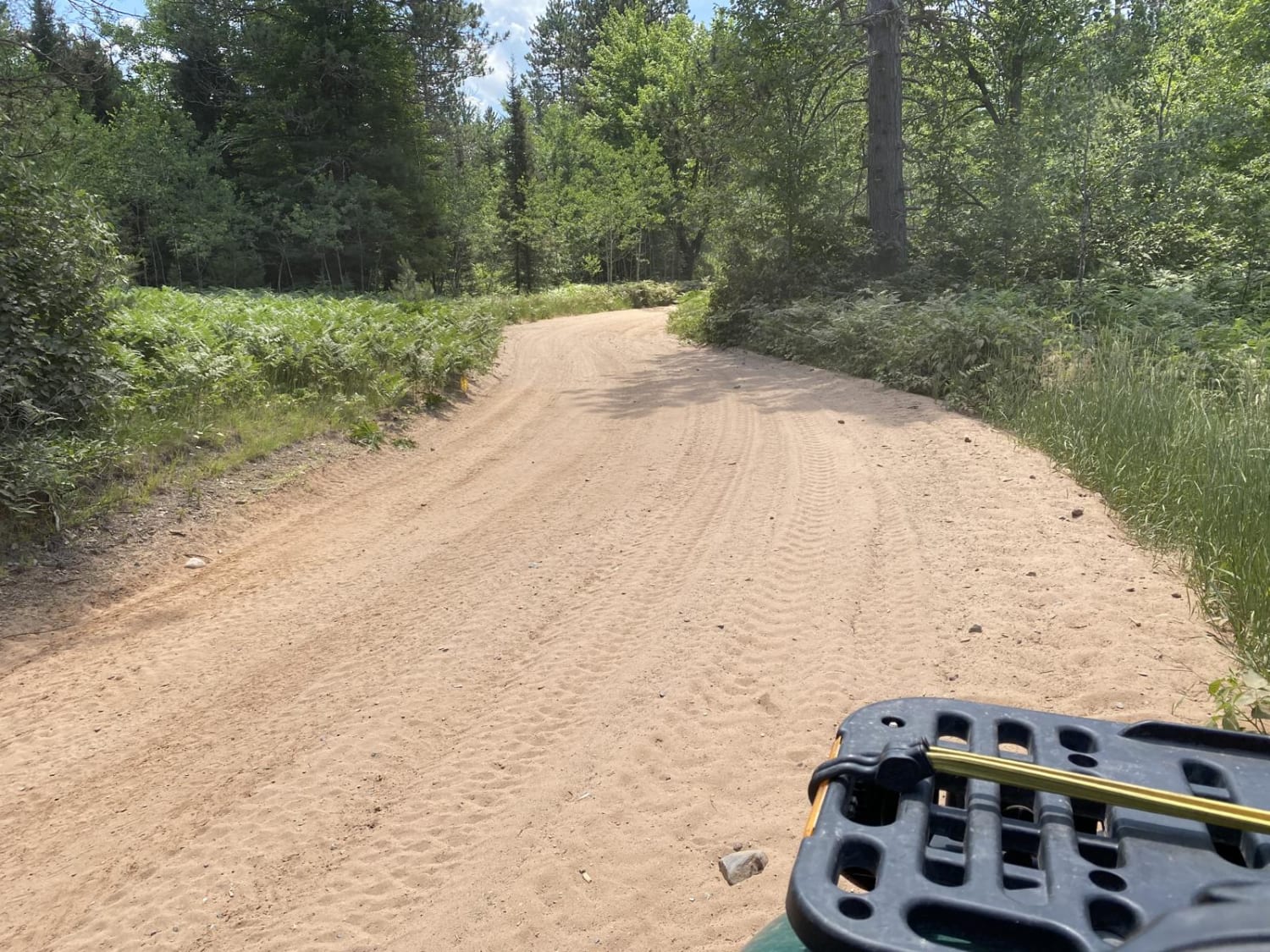
Trail Overview
This is Marinette County ATV trail 16E/W Intersections 119 to 112. This trail runs from the town of Dunbar to the intersection of the Pembine loop. This trail is well maintained with a surface that is primarily sand. Scenery along this trail is excellent as it navigates through areas with large Jack pines, and various other types of large pines, as well as other tree types. This trail is roughly one and a half vehicle widths wide in its entirety. This trail is open to vehicle traffic in several areas.
Photos of Marinette County 16E/W Pembine

Difficulty
This trail can be completed by riders of all skill level. Like most trails in this area, it is frequently groomed (Grooming operations take place day and night). This helps the trail to be very kind to new riders. Occasionally after a hard rain, there will be some areas of ruts from washouts on hill sides. There is also typically logging in this area. Locations where the trail is impacted are well marked, although caution will still need to be taken. The logging Semi's also tend to leave large ruts in the trail.
Status Reports
Marinette County 16E/W Pembine can be accessed by the following ride types:
- SxS (60")
- ATV (50")
Marinette County 16E/W Pembine Map
Popular Trails

Trans Wisconsin Adventure Trail (Central Portion)
Lake Emily to Spread Eagle
Trail 31 - Part 1
Keyes Lake Loop
The onX Offroad Difference
onX Offroad combines trail photos, descriptions, difficulty ratings, width restrictions, seasonality, and more in a user-friendly interface. Available on all devices, with offline access and full compatibility with CarPlay and Android Auto. Discover what you’re missing today!