Pembine 16 East Trail Head FR 1006
Total Miles
6.4
Technical Rating
Best Time
Spring, Summer, Fall
Trail Type
60" Trail
Accessible By
Trail Overview
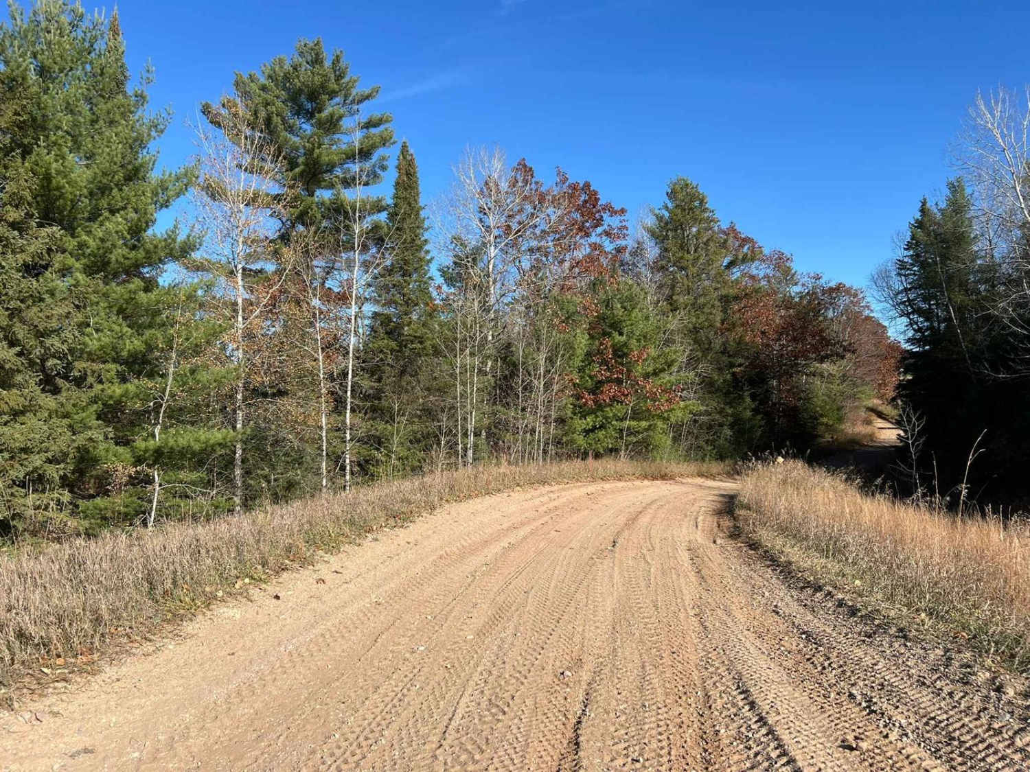
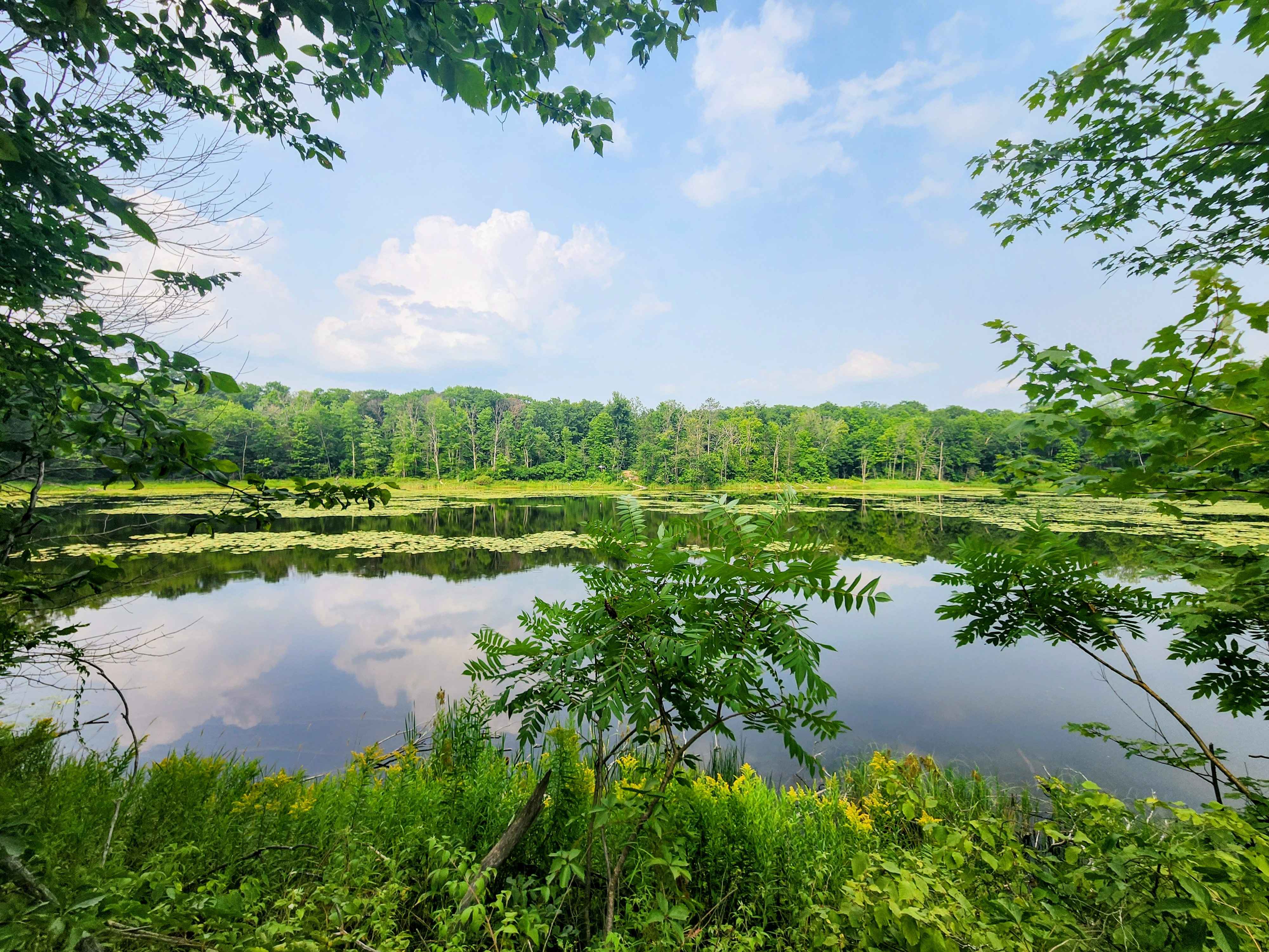
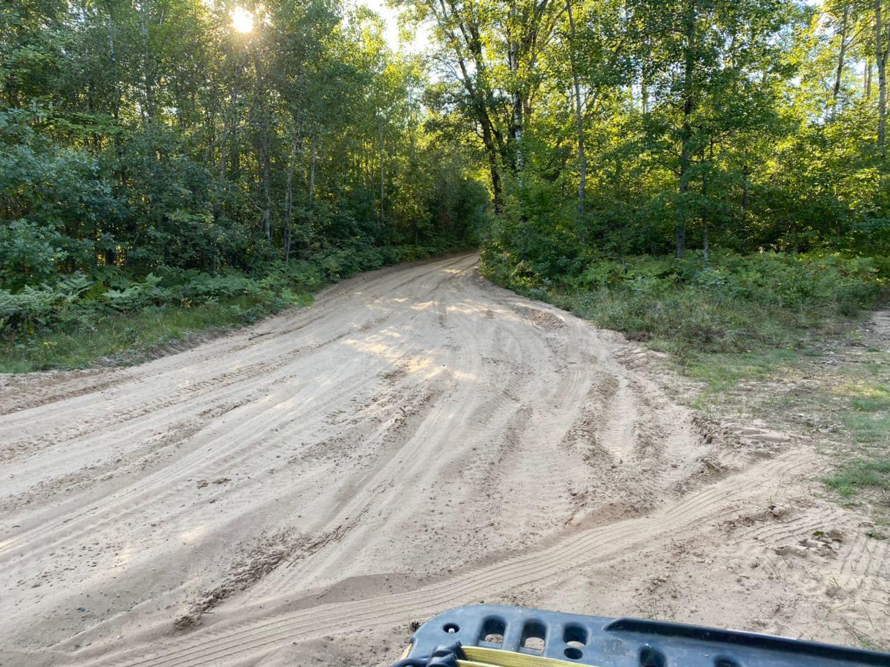
This is Marinette County Trail 16 East Intersection 104 to 102. This trail runs from the town of Pembine to the trail system known as the Marinette County East Trail System. If coming from Pembine, this trail is very scenic,, passing a large rock formation and a small,, slightly technical hill climb. From here, the trail mostly runs sand through pine forests. The trail will pass the east trail system park and ride before crossing US HWY 141. From here, the trail runs along a tight easement until it turns onto US FR 1006. The remainder of the trail is a wide gravel forest road. Offering spectacular views as the trail winds through the approaching landscape.
Photos of Pembine 16 East Trail Head FR 1006

Difficulty
This trail can be completed by riders of all skill levels. One short section is very steep and has a couple of off-camber rocks/ ruts that need to be climbed. These are less than 12 inches in height. There is also a bypass trail that can be taken, which is less steep, and technical to avoid this section. There is one section of the trail that runs along a tight easement, and caution should be taken when on this portion of the trail. The remainder of the trail is two vehicle widths wide with excellent site lines of the oncoming terrain, as well as traffic.
Status Reports
Pembine 16 East Trail Head FR 1006 can be accessed by the following ride types:
- SxS (60")
- ATV (50")
Pembine 16 East Trail Head FR 1006 Map
Popular Trails

Long Lake Road - FS 2168

Michigan Creek Road - FS 2134
La Salle Trail
The onX Offroad Difference
onX Offroad combines trail photos, descriptions, difficulty ratings, width restrictions, seasonality, and more in a user-friendly interface. Available on all devices, with offline access and full compatibility with CarPlay and Android Auto. Discover what you’re missing today!