Off-Road Trails in Wisconsin
Discover off-road trails in Wisconsin
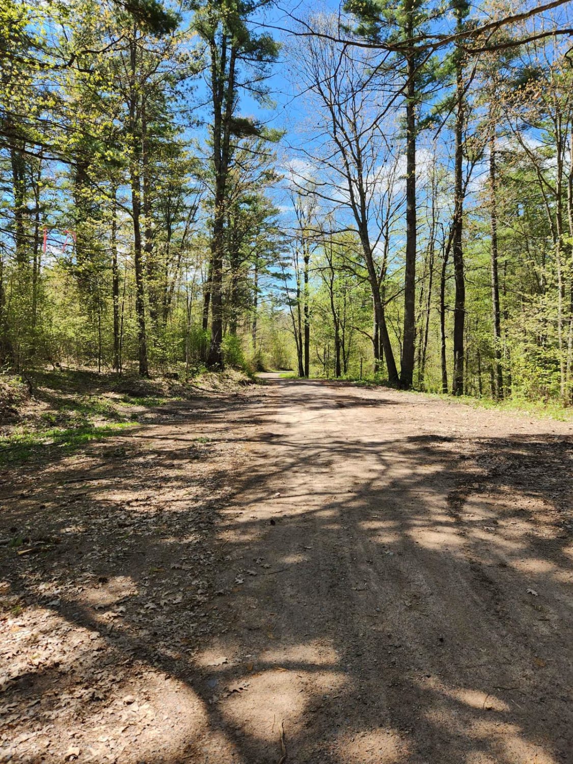
Learn more about Trail 31 - Part 1
Trail 31 - Part 1
Total Miles
6.0
Tech Rating
Easy
Best Time
Fall, Summer
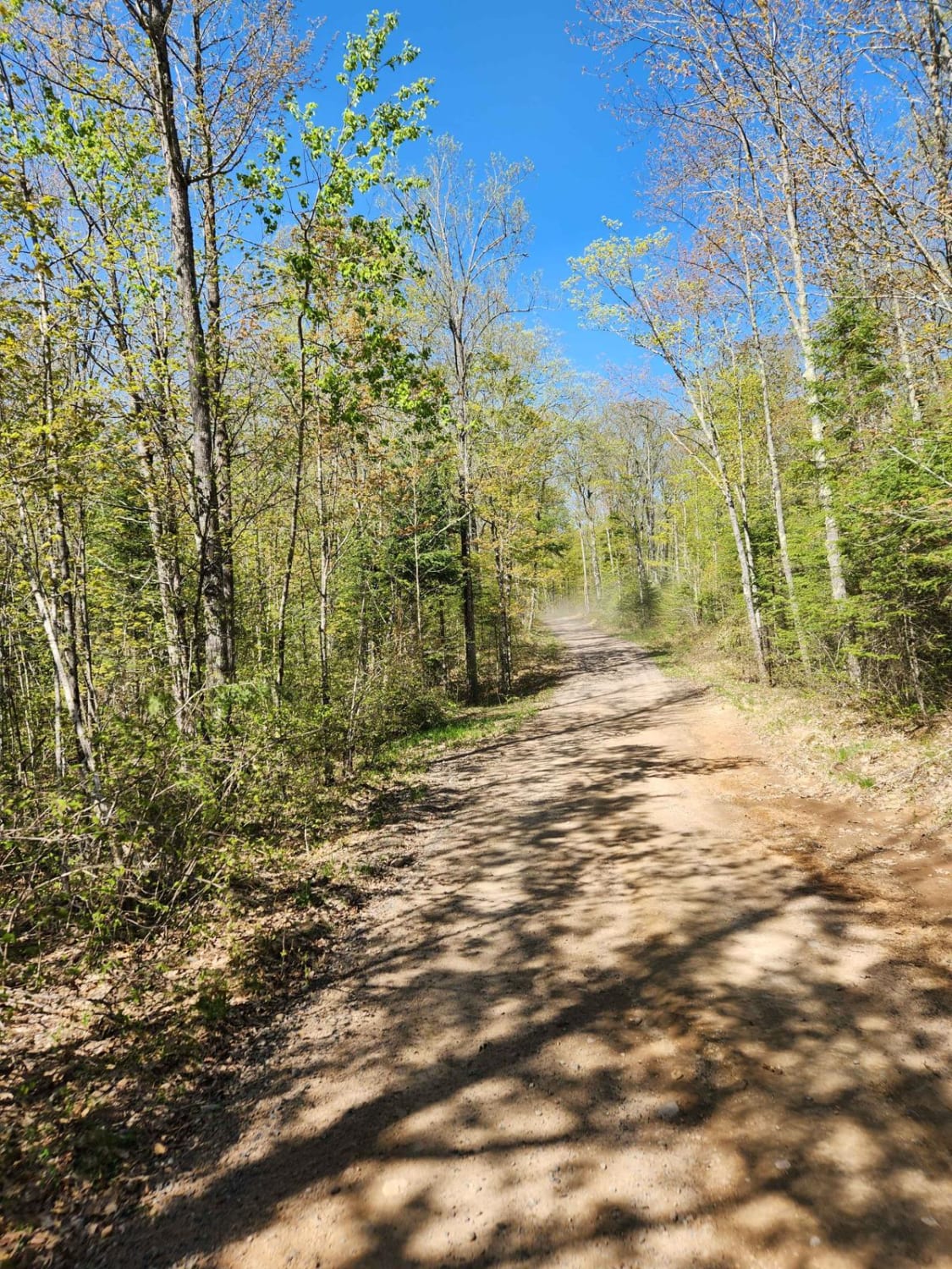
Learn more about Trail 31 Segment 2
Trail 31 Segment 2
Total Miles
3.8
Tech Rating
Easy
Best Time
Summer, Fall
Learn more about Trail 5 Southeastern Section
Trail 5 Southeastern Section
Total Miles
6.0
Tech Rating
Easy
Best Time
Spring, Summer, Fall
Learn more about Trail 5- Forest Road 219
Trail 5- Forest Road 219
Total Miles
7.2
Tech Rating
Easy
Best Time
Spring, Summer, Fall
Learn more about Trail 5- Forest Road 508
Trail 5- Forest Road 508
Total Miles
7.1
Tech Rating
Easy
Best Time
Fall, Spring, Summer
Learn more about Trail G - Forest Road 208
Trail G - Forest Road 208
Total Miles
10.5
Tech Rating
Easy
Best Time
Spring, Fall, Summer, Winter
Learn more about Trail G Highline Views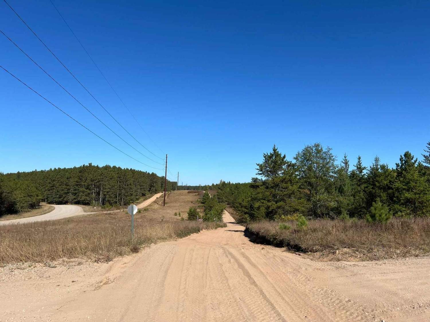
Trail G Highline Views
Total Miles
4.4
Tech Rating
Easy
Best Time
Spring, Summer, Fall
Learn more about Trail G Marinette County Fall Color Tour
Trail G Marinette County Fall Color Tour
Total Miles
16.4
Tech Rating
Easy
Best Time
Spring, Summer, Fall
Learn more about Trans Wisconsin Adventure Trail (Central Portion)
Trans Wisconsin Adventure Trail (Central Portion)
Total Miles
276.0
Tech Rating
Moderate
Best Time
Summer
Learn more about Trans Wisconsin Adventure Trail (Northern Portion)
Trans Wisconsin Adventure Trail (Northern Portion)
Total Miles
108.8
Tech Rating
Moderate
Best Time
Summer
Learn more about Trans Wisconsin Adventure Trail (Southern Portion)
Trans Wisconsin Adventure Trail (Southern Portion)
Total Miles
245.8
Tech Rating
Easy
Best Time
Summer
Learn more about Trestle Road - FS 2696
Trestle Road - FS 2696
Total Miles
1.9
Tech Rating
Easy
Best Time
Summer, Fall, Spring
Learn more about Tuscobia State Trail - Park Falls to Loretta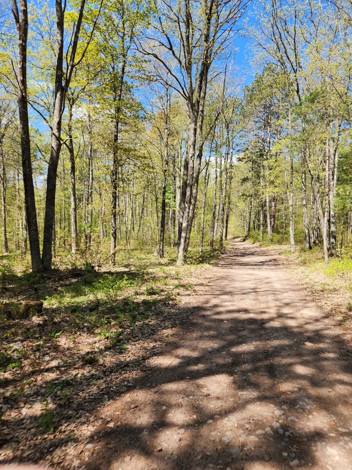
Tuscobia State Trail - Park Falls to Loretta
Total Miles
19.5
Tech Rating
Easy
Best Time
Summer
Learn more about West Elcho Bypass
West Elcho Bypass
Total Miles
3.8
Tech Rating
Easy
Best Time
Fall, Summer, Spring
Learn more about West Elcho/Lily Mill Pass Through
West Elcho/Lily Mill Pass Through
Total Miles
3.4
Tech Rating
Easy
Best Time
Fall, Summer, Spring
Learn more about White Birch/ Firelane Road 
White Birch/ Firelane Road
Total Miles
3.7
Tech Rating
Easy
Best Time
Spring, Summer, Fall
ATV trails in Wisconsin
Learn more about #409-425 Pipeline Road to HWY 64 East
#409-425 Pipeline Road to HWY 64 East
Total Miles
31.2
Tech Rating
Easy
Best Time
Spring, Summer, Fall
Learn more about Barrens Loop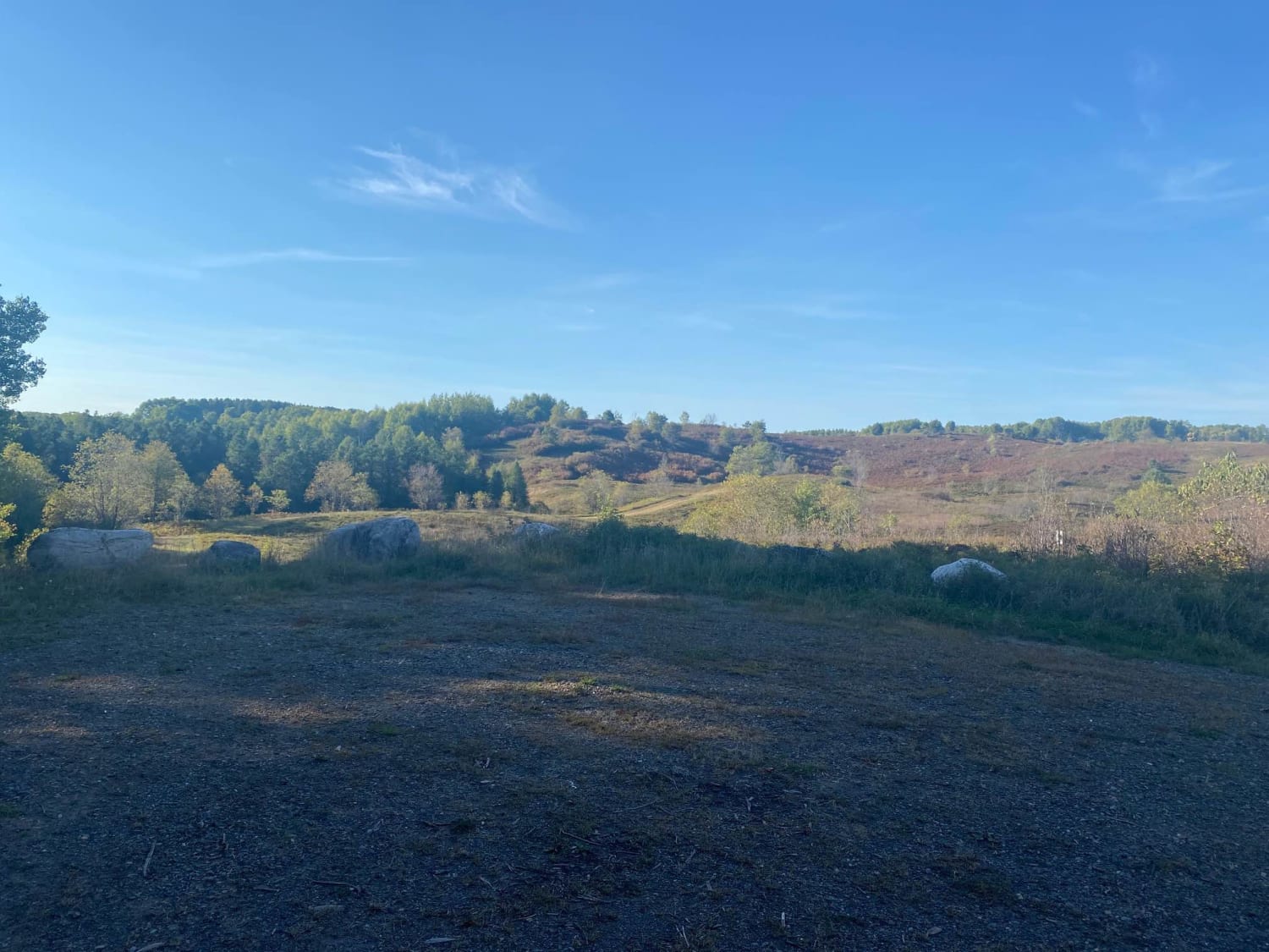
Barrens Loop
Total Miles
2.7
Tech Rating
Easy
Best Time
Summer, Winter, Fall, Spring
Learn more about Bayfield Timber Trail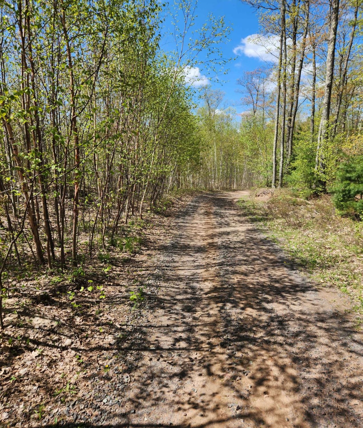
Bayfield Timber Trail
Total Miles
4.2
Tech Rating
Easy
Best Time
Fall, Summer, Spring
UTV/side-by-side trails in Wisconsin
Learn more about #409-425 Pipeline Road to HWY 64 East
#409-425 Pipeline Road to HWY 64 East
Total Miles
31.2
Tech Rating
Easy
Best Time
Spring, Summer, Fall
Learn more about Barrens Loop
Barrens Loop
Total Miles
2.7
Tech Rating
Easy
Best Time
Summer, Winter, Fall, Spring
Learn more about Barron to Cameron - Blueberry Trail Extension
Barron to Cameron - Blueberry Trail Extension
Total Miles
7.2
Tech Rating
Easy
Best Time
Summer, Fall
The onX Offroad Difference
onX Offroad combines trail photos, descriptions, difficulty ratings, width restrictions, seasonality, and more in a user-friendly interface. Available on all devices, with offline access and full compatibility with CarPlay and Android Auto. Discover what you’re missing today!