Wolf River State Trail
Total Miles
7.5
Technical Rating
Best Time
Spring, Fall, Summer
Trail Type
60" Trail
Accessible By
Trail Overview
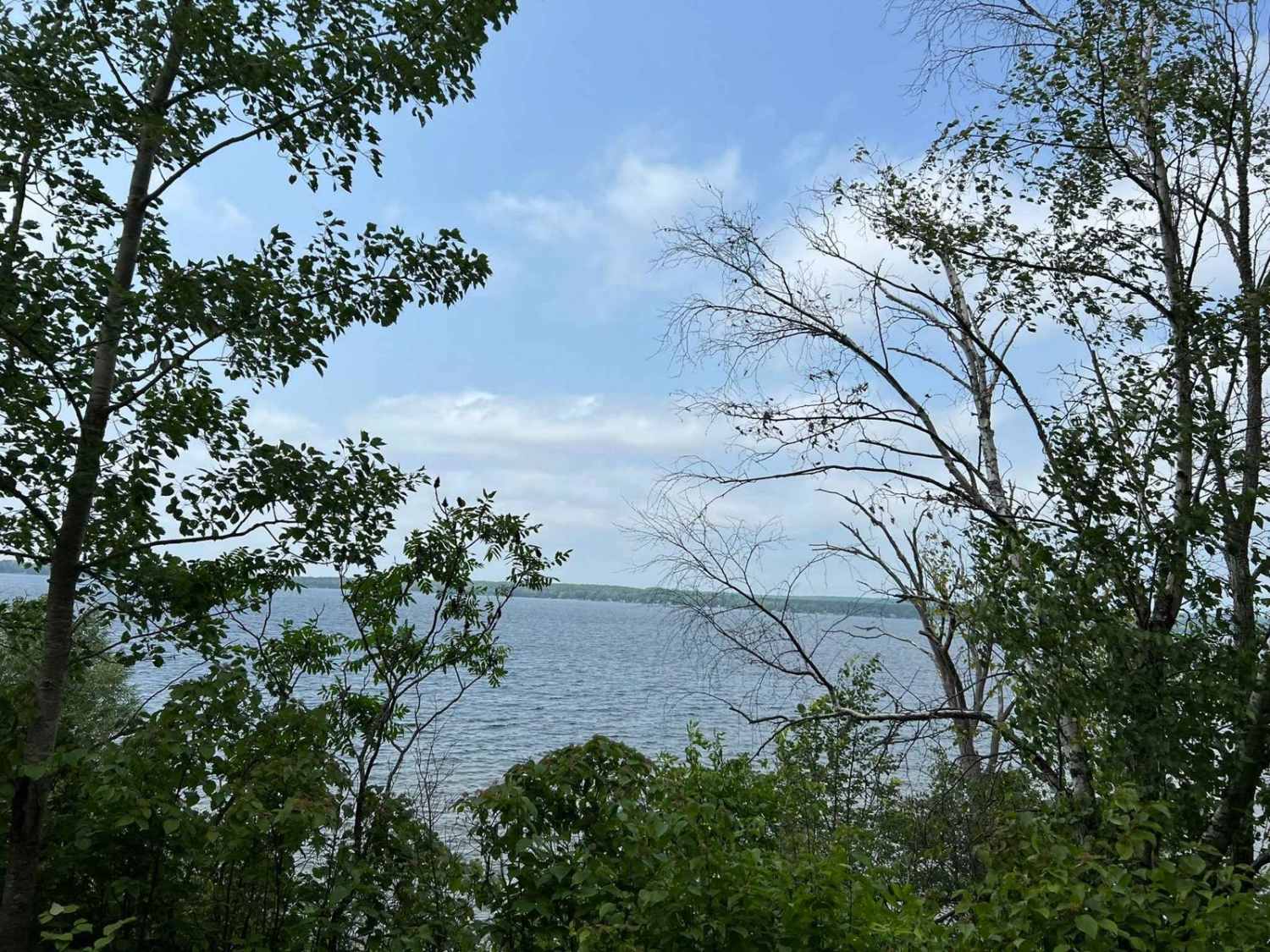
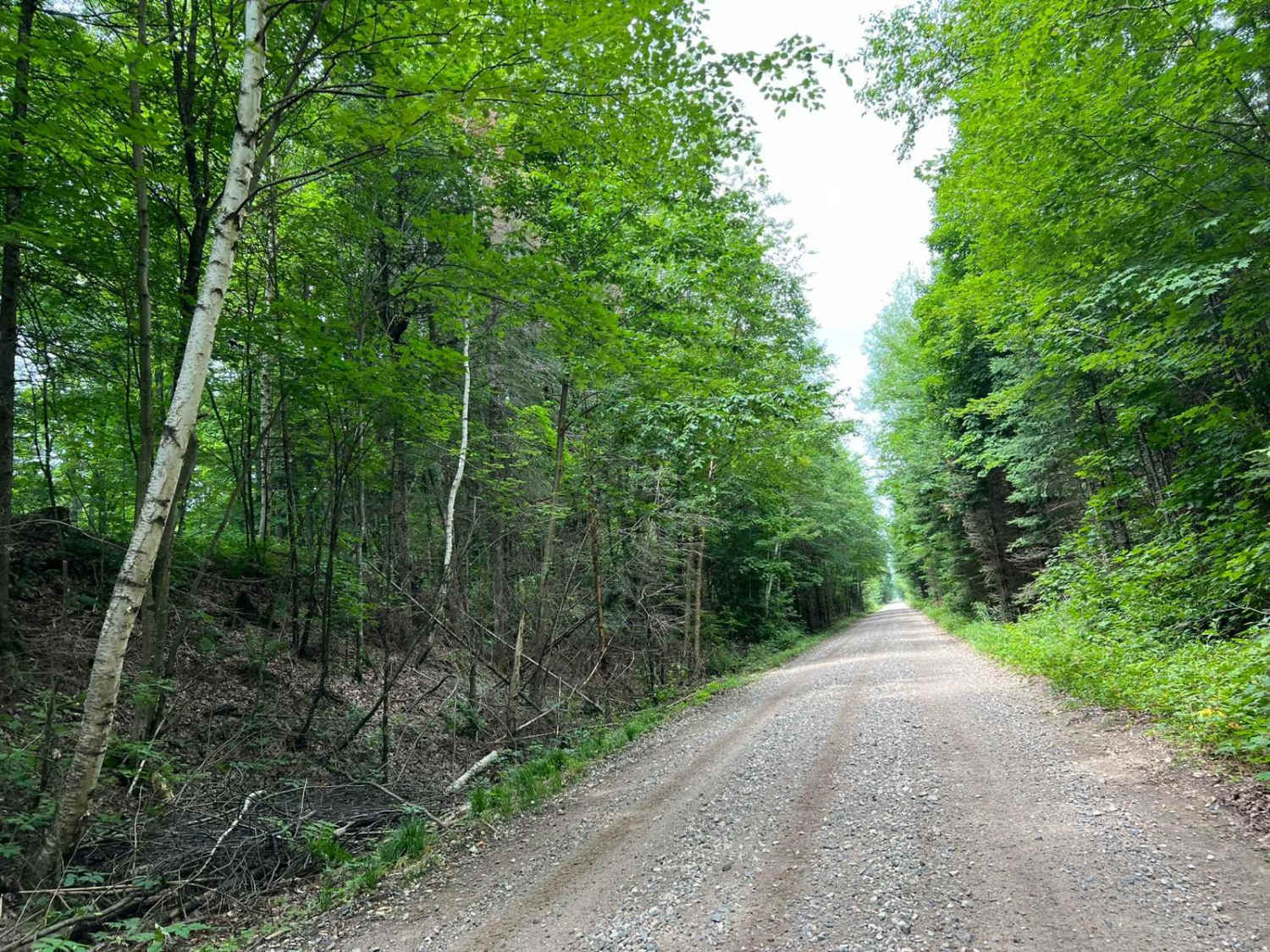
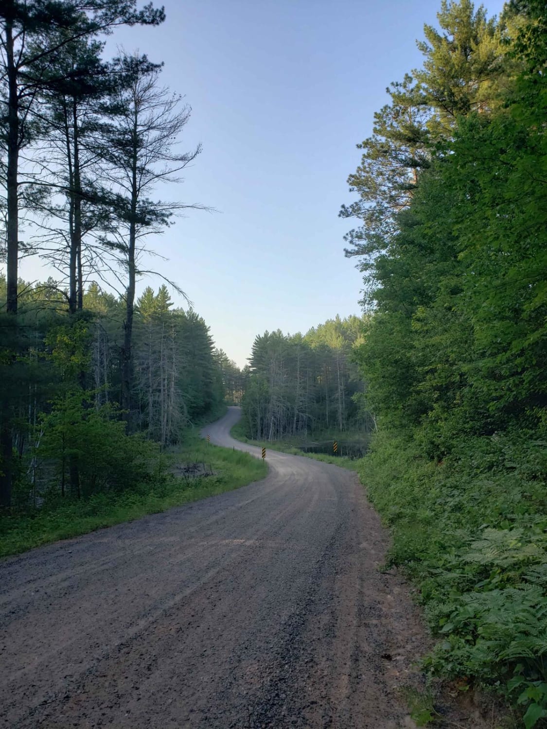
This portion of the Wolf River State Trail will run from County Road Q into the town of Crandon. This portion of the railroad grade passes several residential areas with a posted speed limit of 10 MPH to help with dust control. There are also several great viewing spots to overlook Lake Metonga. Several areas of this trail have medium loose rock, making traveling at speed while maintaining full control difficult. When coming into town there will be a local gas station, a grocery store, and a hardware store that are accessible just off the trail. The route through town is paved but is well marked in order to reconnect with the trail on the northwest end of town.
Photos of Wolf River State Trail
Difficulty
This trail is achievable by all ATV and SxS riders. There are some areas where the trail surface is loose rock. This can create times when a machine is difficult to maintain proper control of. In dry times this trail can also become excessively dusty. Be sure to ride for the conditions and obey all posted speed limits.
Status Reports
Wolf River State Trail can be accessed by the following ride types:
- SxS (60")
- ATV (50")
Wolf River State Trail Map
Popular Trails
Bayfield Timber Trail
Florence County F6 North Horseshoe
Phipps Fire Lane

Double Bend FR 2166
The onX Offroad Difference
onX Offroad combines trail photos, descriptions, difficulty ratings, width restrictions, seasonality, and more in a user-friendly interface. Available on all devices, with offline access and full compatibility with CarPlay and Android Auto. Discover what you’re missing today!
