McArthur Pine FR 2167
Total Miles
8.6
Technical Rating
Best Time
Summer, Fall, Spring
Trail Type
Full-Width Road
Accessible By
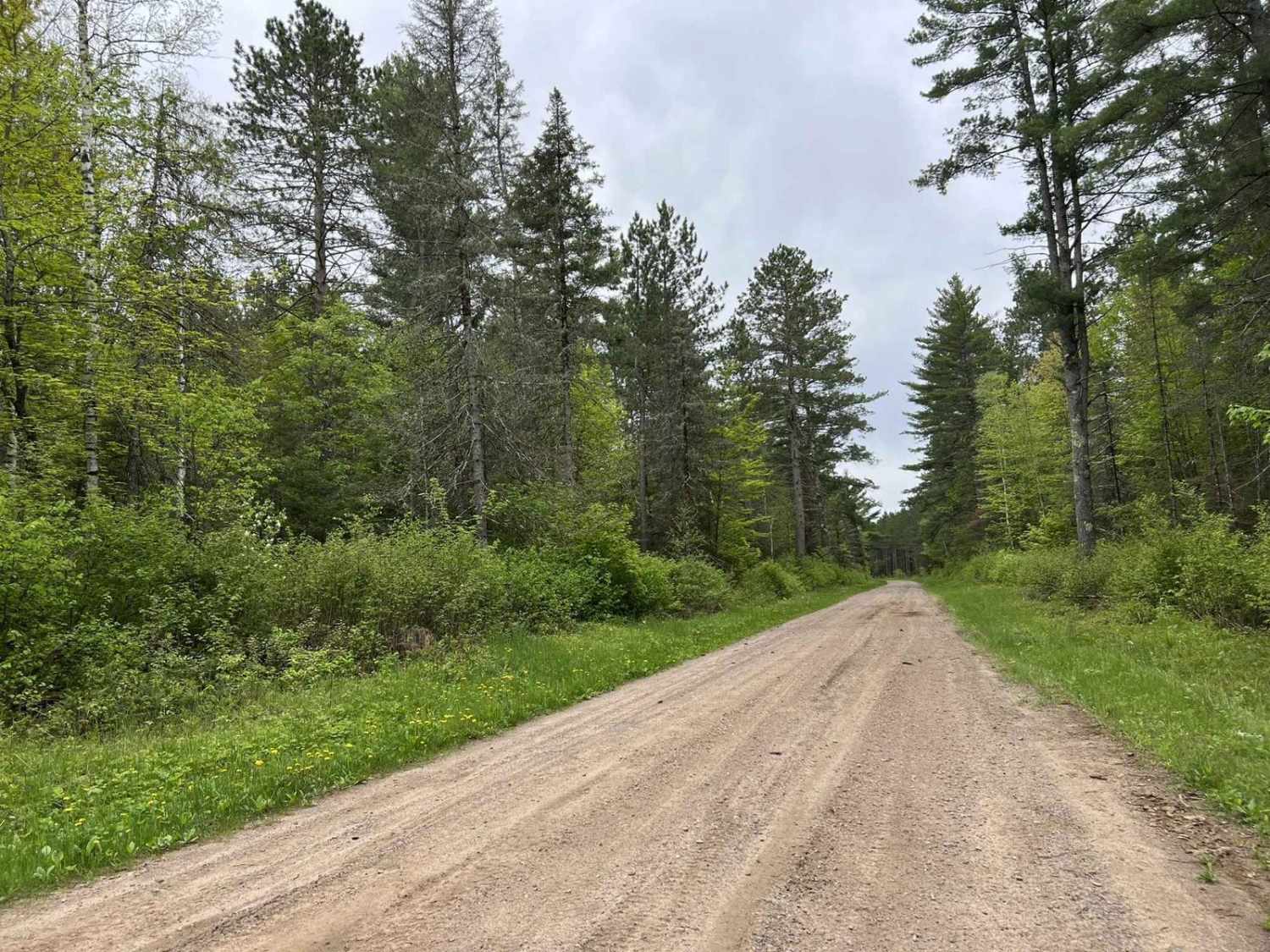
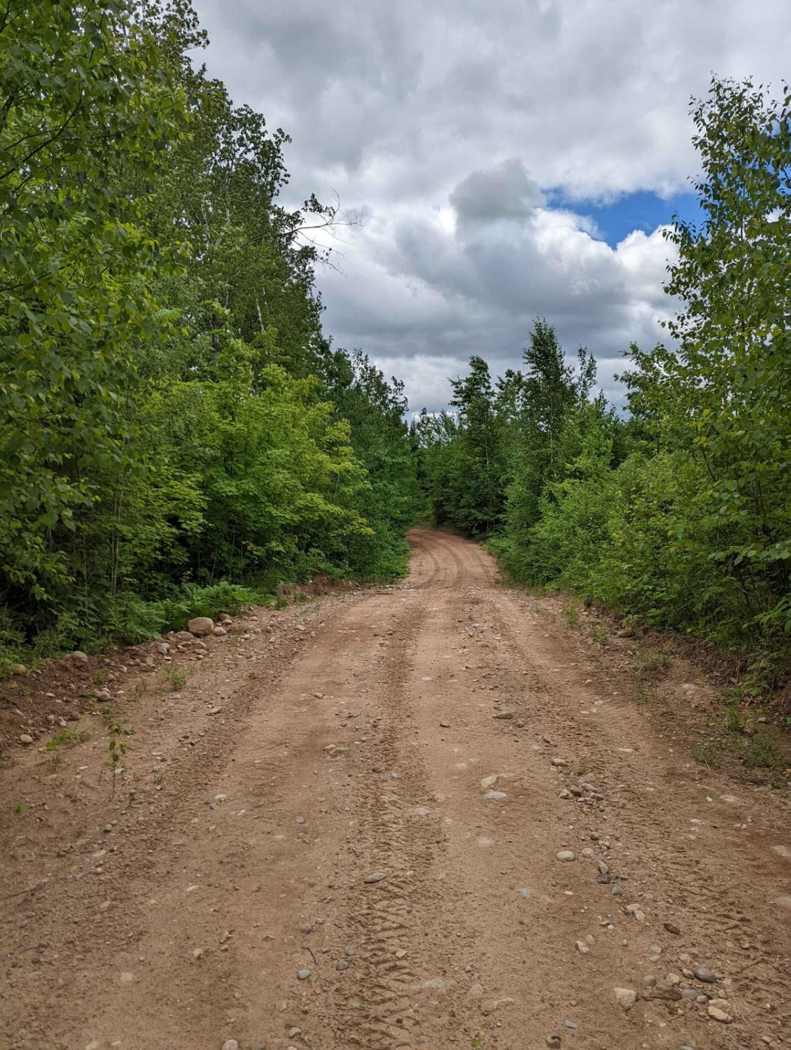
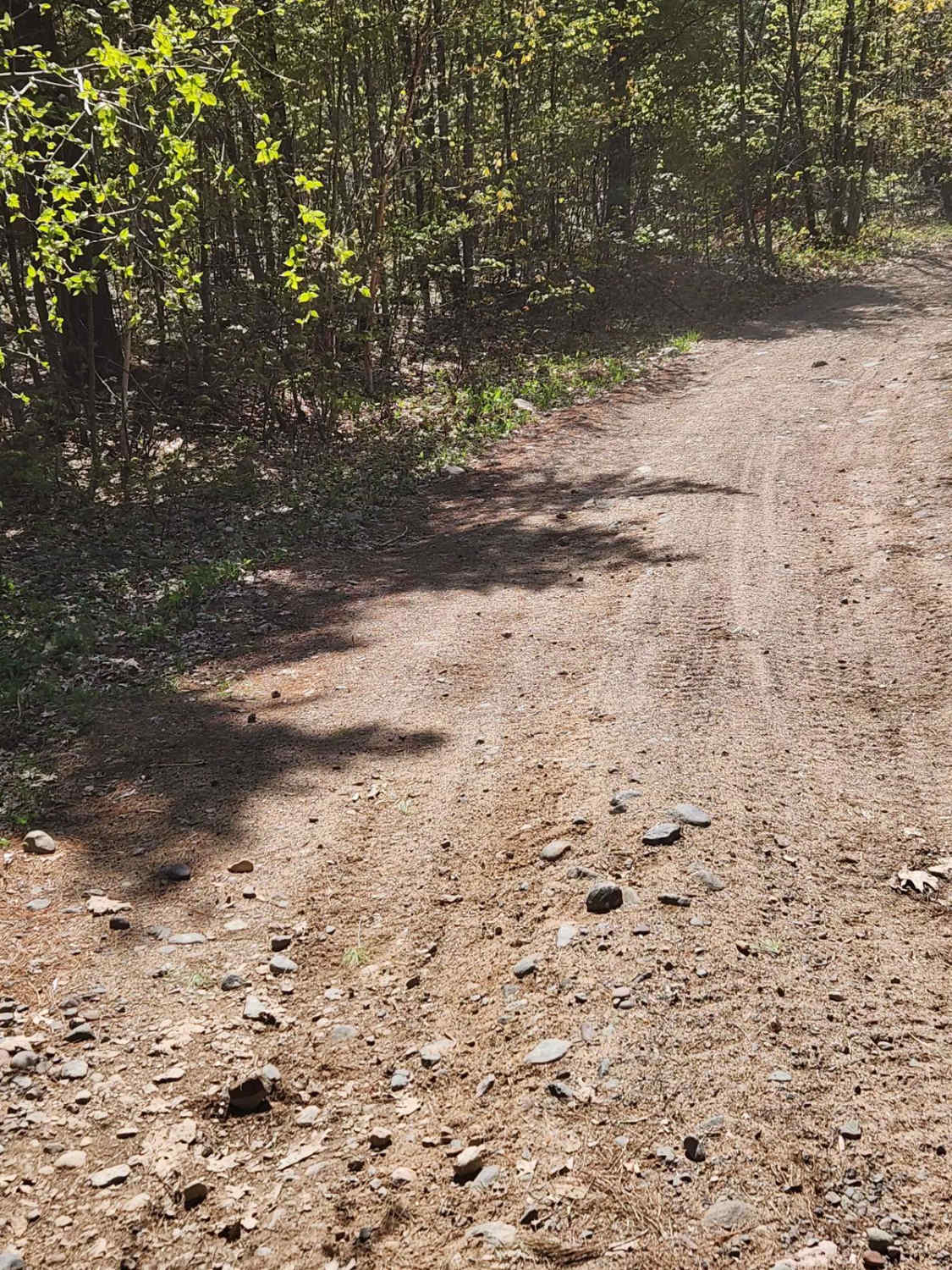
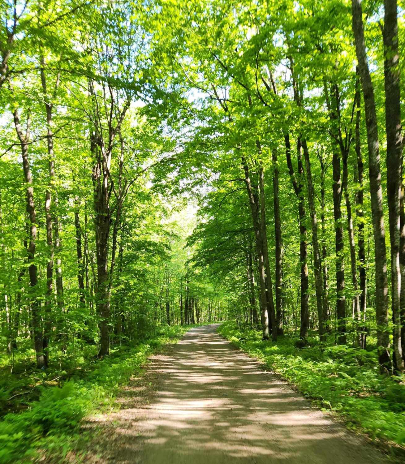
Trail Overview
This trail, like many others in the area, is a good mix of elevation changes as well as medium to long sweeping corners. Sight lines in these corners are also exceptional due to the extra runoff on each side of the trail. This trail is a great detour for ATV and SxS traffic traveling on the Nicolet State Trail and looking for a change of pace over the railroad grade. This trail also intersects with several other trails and trail systems all in the Nicolet National Forest. The trail is accessible by an ATV, SxS, or capable road-going vehicle. The primary road surface is gravel but on some corners, there are small to medium-sized rocks that will need to be traversed if there is traffic in both directions.
Photos of McArthur Pine FR 2167

Difficulty
This trail can be easily completed by an ATV, SxS, or capable high-clearance 2WD vehicle. The trail will become dusty when conditions are dryer, causing decreased visibility. Corners and sight lines are exceptional due to the runoff on each side of the trail. Small to medium-sized rocks can be found in some corners but can be easily traversed as long as traffic is not oncoming.
Status Reports
McArthur Pine FR 2167 can be accessed by the following ride types:
- High-Clearance 4x4
- SUV
- SxS (60")
- ATV (50")
McArthur Pine FR 2167 Map
Popular Trails
Nicolet State Trail - Bushafer to Wabeno

Jim Hausinger Memorial Trail
The onX Offroad Difference
onX Offroad combines trail photos, descriptions, difficulty ratings, width restrictions, seasonality, and more in a user-friendly interface. Available on all devices, with offline access and full compatibility with CarPlay and Android Auto. Discover what you’re missing today!