Trail G Highline Views
Total Miles
4.4
Technical Rating
Best Time
Spring, Summer, Fall
Trail Type
60" Trail
Accessible By
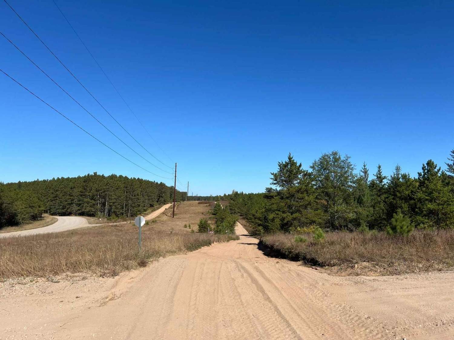
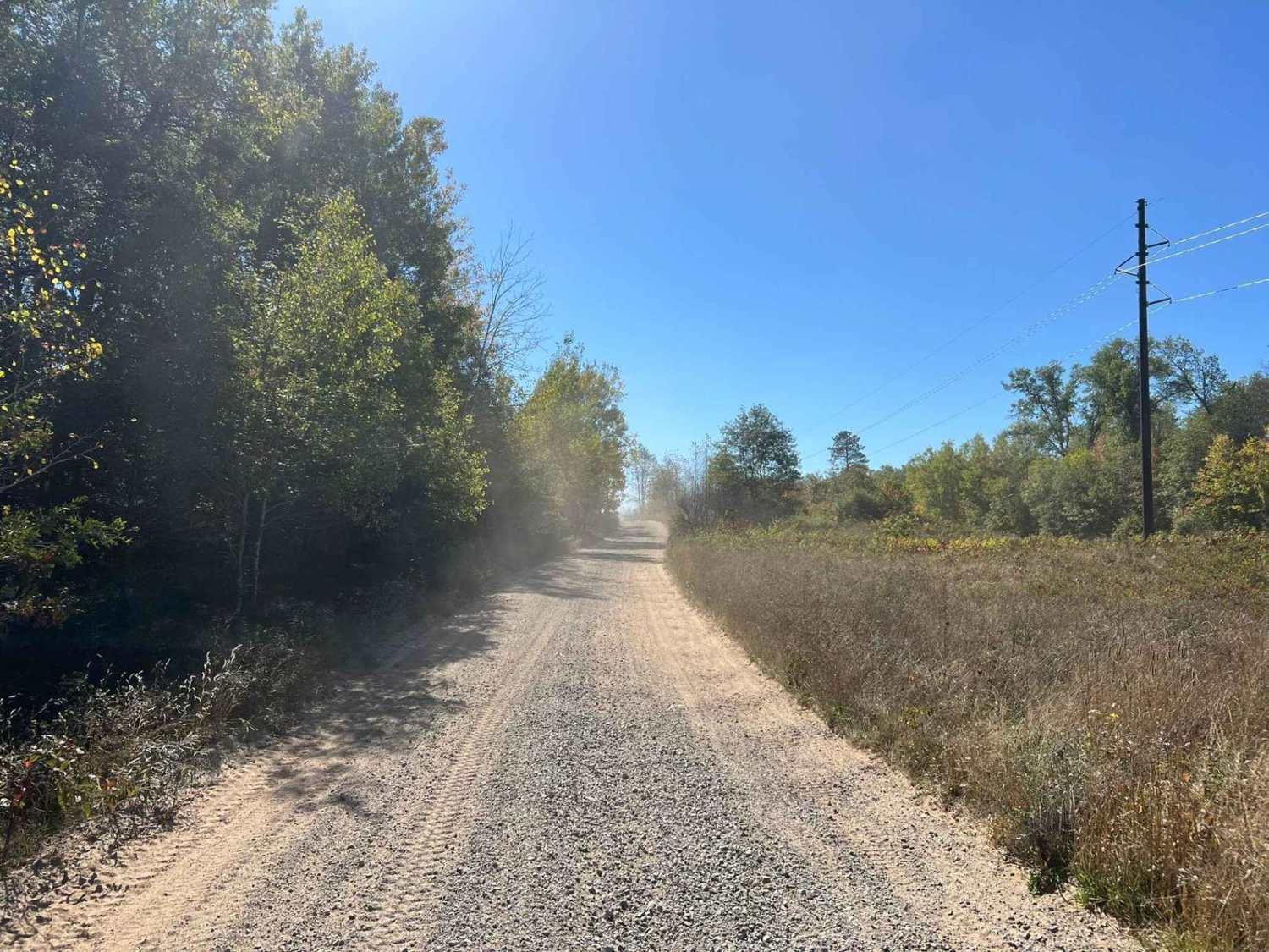
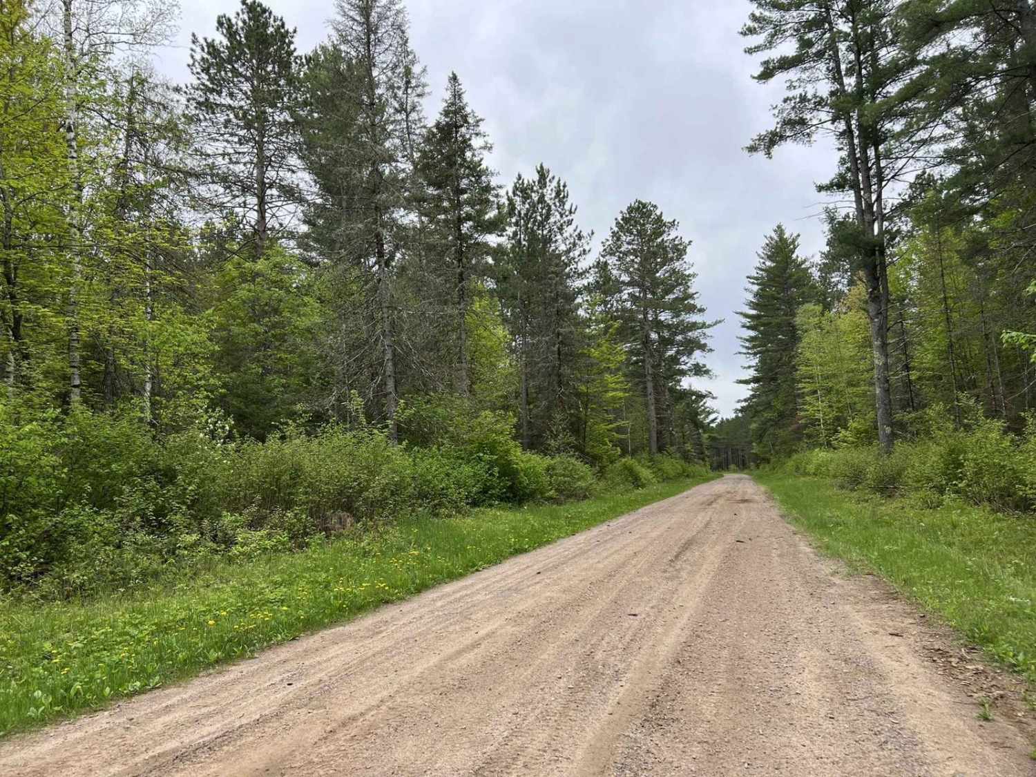
Trail Overview
Starting on the southern end, this trail runs through a long section of High Lines, finishing in a tighter wooded area on the northern end. Sight lines are excellent as the trail navigates through the winding corners and rolling hills. The trail surface is primarily a sand base with small rocks mixed in throughout. This can be an enjoyable trail for riders of all skill levels, excellent sight lines help to aid in the fun that can be had on this trail. The sand stays soft most of the time helping to eliminate the washboard effect that can be experienced on other trails in the area.
Photos of Trail G Highline Views
Difficulty
This trail is conquerable by riders of all skill levels. The more experience a rider has the more enjoyment they will get from the trail. The sand on this trail unlike sand on some of the other trails in this area is relatively forgiving, not locking a machine into tracks set by previous machines. It also remains relatively dust and washboard-free. With that being said this sand is soft and will consume power and fuel. Along most edges of the trail, there are walls from where the trail was carved into the landscape. Caution needs to be taken with these as some are taller than what can easily be crossed by a machine if needed to get out of the way. Caution also needs to be taken in some of the sharp corners. While this sand is forgiving when it comes to not holding a line it also means it can cause machines to push through corners when taken at excessive speeds.
Status Reports
Trail G Highline Views can be accessed by the following ride types:
- SxS (60")
- ATV (50")
Trail G Highline Views Map
Popular Trails
Parrish Mini Loop
McArthur Pine FR 2167

Pembine North Loop Trail 3

Florence County F15 North
The onX Offroad Difference
onX Offroad combines trail photos, descriptions, difficulty ratings, width restrictions, seasonality, and more in a user-friendly interface. Available on all devices, with offline access and full compatibility with CarPlay and Android Auto. Discover what you’re missing today!