Trail G - Forest Road 208
Total Miles
10.5
Technical Rating
Best Time
Spring, Fall, Summer, Winter
Trail Type
60" Trail
Accessible By
Trail Overview
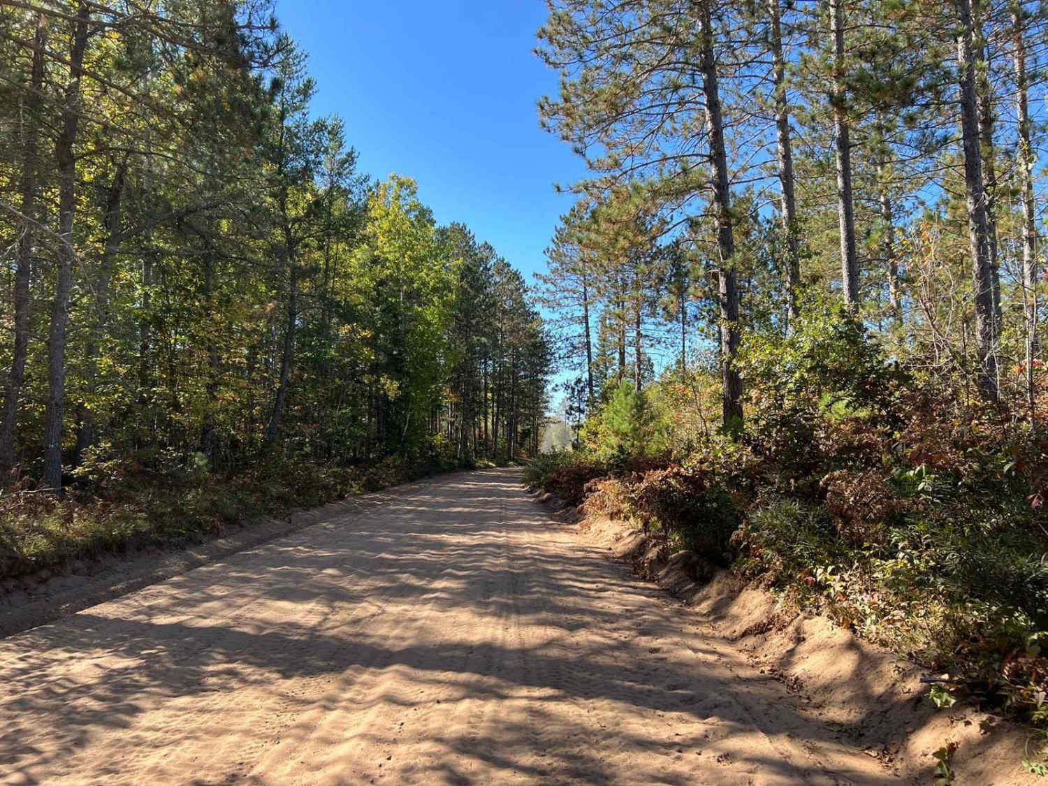
This trail runs east to west through the southern portion of the Dungood trail system. While some portions are ATV and SxS specific only, others are mixed-use with road-going vehicles and OHM. The scenery on this trail is excellent as it navigates through the rolling landscape of Marinette County. The terrain is a good mix of tight wooded sections, along with opening up into a few more wide-open areas. The trail surface consists of mostly sand with some areas of small rocks mixed in throughout.
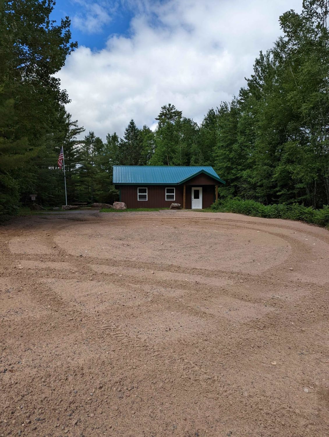
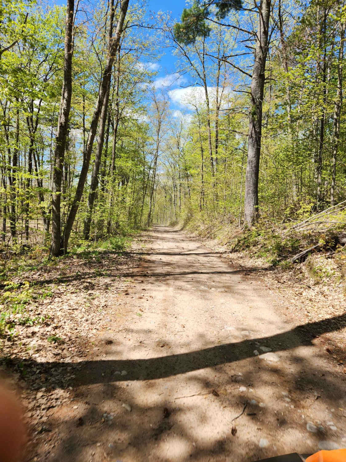
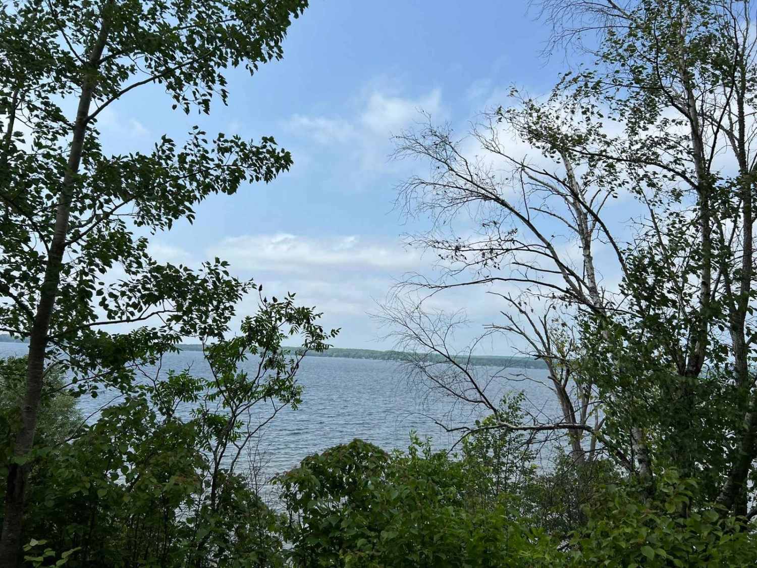
Photos of Trail G - Forest Road 208

Difficulty
This trail can be completed by riders of all skill levels. Sight lines throughout the trail are okay to good in all places, with the worst spots being on some tight blind corners. The trail surface is made up of sand with some areas of small to mid-size rocks mixed in throughout. Some areas of the sand on the trail can become quite soft causing less control when traversing the terrain. This trail also has several long straights with sharp corners at the end. The signs for these corners can be easily missed so take caution in these areas. After rain, portions of this trail can experience excessive washouts which will remain until the trail has been re-groomed. Grooming operations take place year-round and can happen day or night.
Status Reports
Trail G - Forest Road 208 can be accessed by the following ride types:
- SxS (60")
- ATV (50")
Trail G - Forest Road 208 Map
Popular Trails
Parrish Mini Loop
Bushafer 3876
Wolf River State Trail

Michigan Creek Road - FS 2134
The onX Offroad Difference
onX Offroad combines trail photos, descriptions, difficulty ratings, width restrictions, seasonality, and more in a user-friendly interface. Available on all devices, with offline access and full compatibility with CarPlay and Android Auto. Discover what you’re missing today!