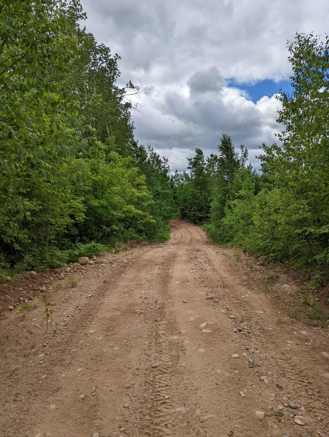
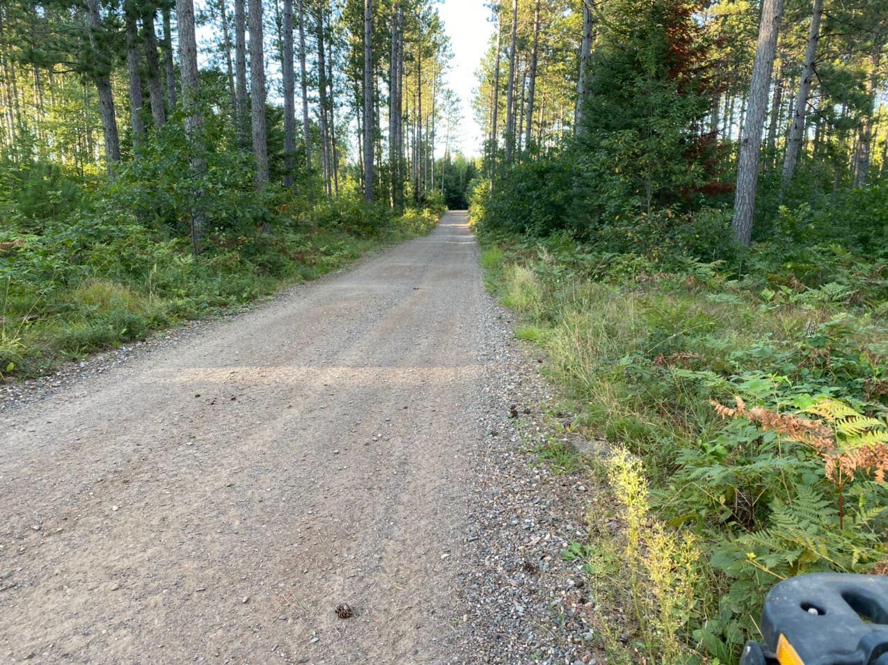
Off-Road Trails in Wisconsin
Discover off-road trails in Wisconsin
Learn more about CCRT - Browntown to South Wayne
CCRT - Browntown to South Wayne
Total Miles
4.8
Tech Rating
Easy
Best Time
Spring, Summer, Fall, Winter
Learn more about CCRT - Calamine to Mineral Point
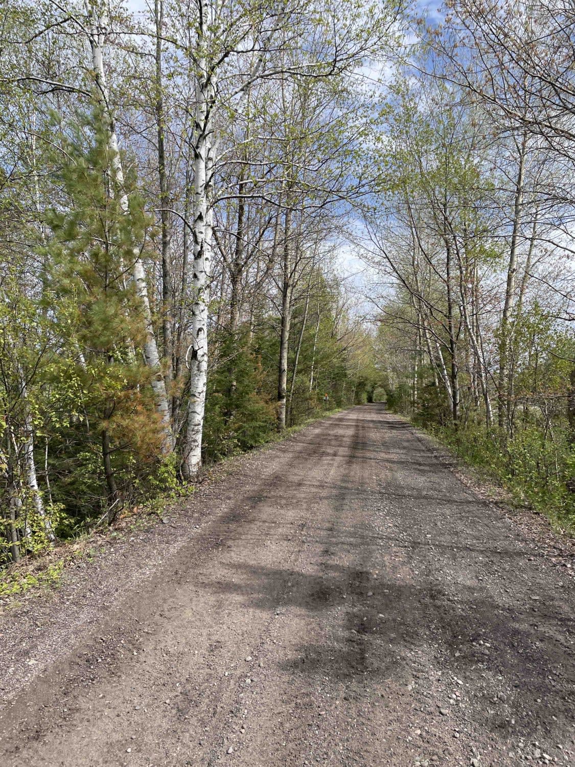
CCRT - Calamine to Mineral Point
Total Miles
9.4
Tech Rating
Easy
Best Time
Summer, Spring, Fall, Winter
Learn more about CCRT - Darlington to Calamine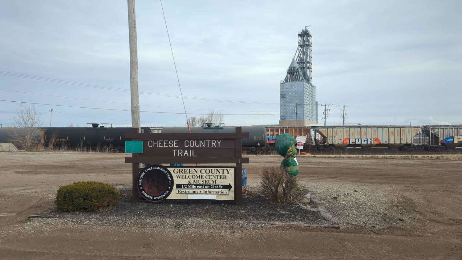
CCRT - Darlington to Calamine
Total Miles
5.8
Tech Rating
Easy
Best Time
Spring, Summer, Fall, Winter
Learn more about CCRT - Gratiot to Darlington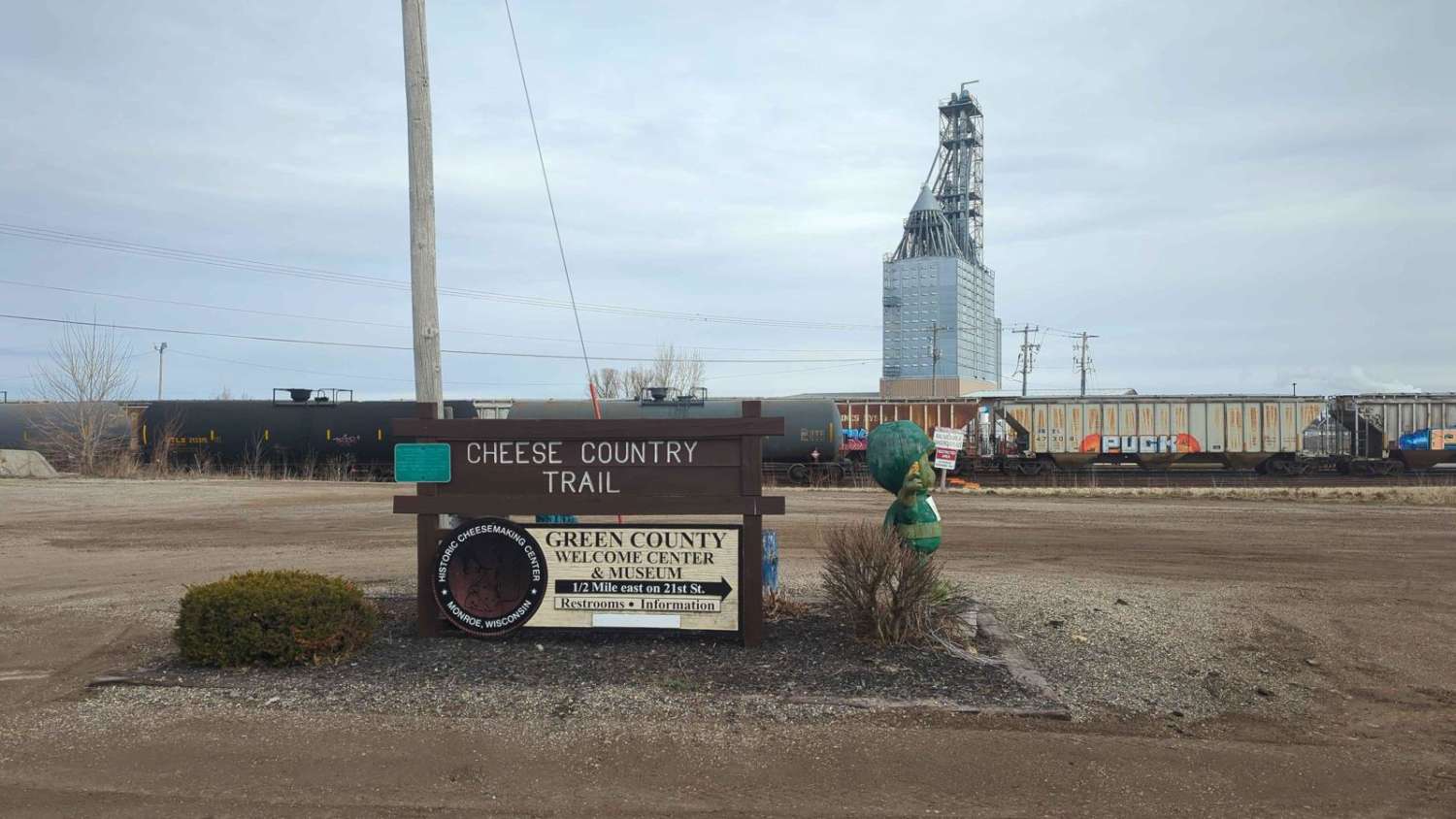
CCRT - Gratiot to Darlington
Total Miles
10.1
Tech Rating
Easy
Best Time
Spring, Summer, Fall, Winter
Learn more about CCRT - Monroe to Browntown
CCRT - Monroe to Browntown
Total Miles
7.3
Tech Rating
Easy
Best Time
Spring, Summer, Fall, Winter
Learn more about CCRT - South Wayne to Gratiot
CCRT - South Wayne to Gratiot
Total Miles
9.3
Tech Rating
Easy
Best Time
Spring, Summer, Fall, Winter
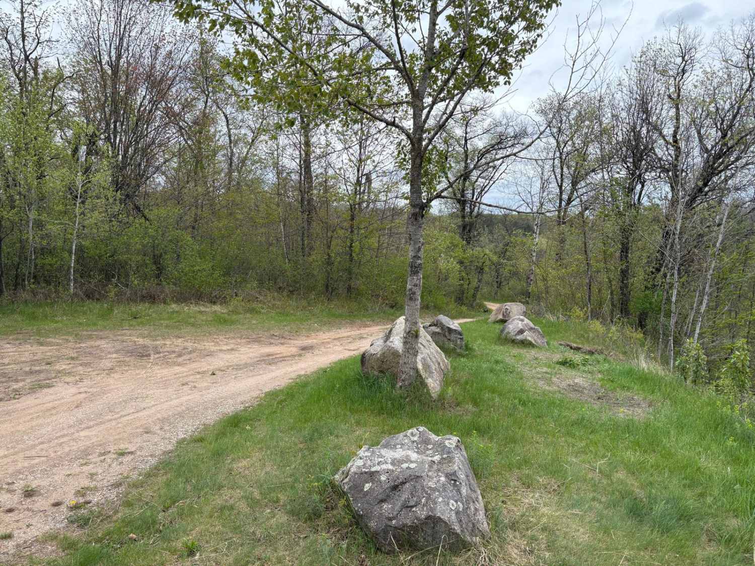
Learn more about Chequamegon-Nicolet National Forest - Knowles Creek Road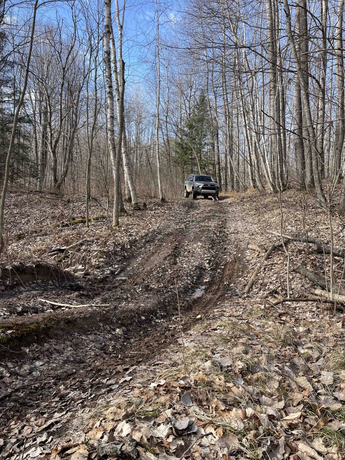
Chequamegon-Nicolet National Forest - Knowles Creek Road
Total Miles
33.3
Tech Rating
Easy
Best Time
Summer
Learn more about Crandon Highway 8 Trail
Crandon Highway 8 Trail
Total Miles
11.5
Tech Rating
Easy
Best Time
Spring, Summer, Fall
Learn more about Dead End Road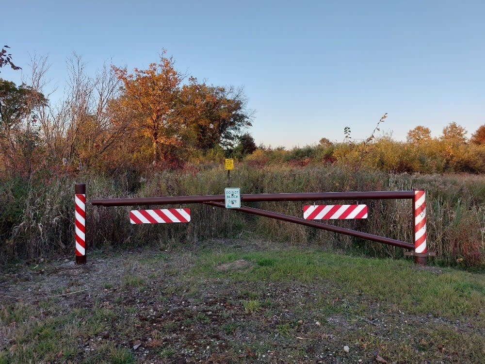
Dead End Road
Total Miles
0.9
Tech Rating
Easy
Best Time
Spring, Summer, Fall, Winter

Learn more about Double Bend FR 2166
Double Bend FR 2166
Total Miles
9.1
Tech Rating
Easy
Best Time
Summer, Fall, Spring
Learn more about Dungood Trail
Dungood Trail
Total Miles
8.3
Tech Rating
Easy
Best Time
Summer, Spring, Fall
Learn more about East Butler Rock Road - FS 5556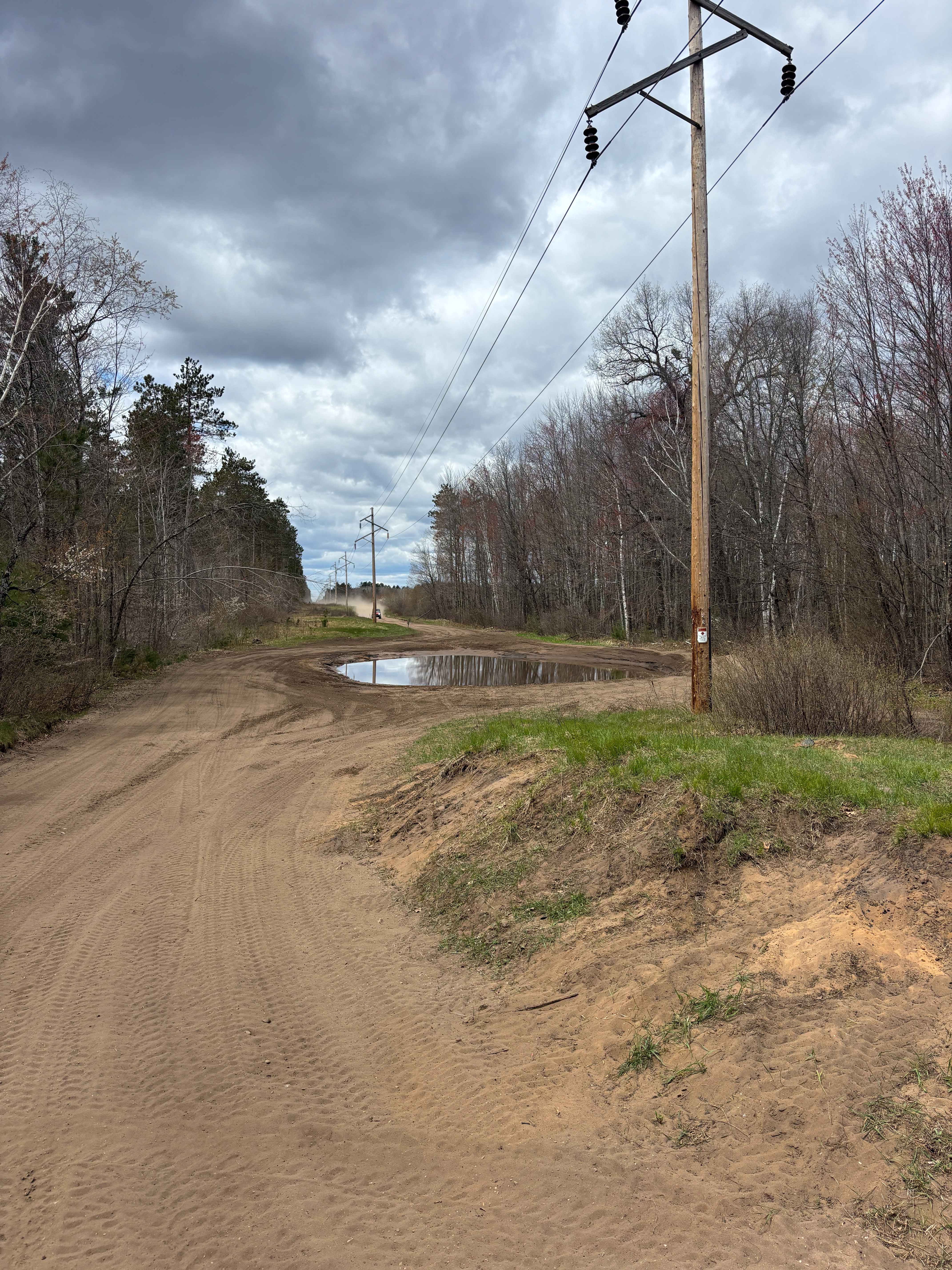
East Butler Rock Road - FS 5556
Total Miles
14.6
Tech Rating
Easy
Best Time
Spring, Summer, Fall
Learn more about Florence County F15
Florence County F15
Total Miles
8.6
Tech Rating
Easy
Best Time
Spring, Summer, Fall
Learn more about Florence County F15 North 
Florence County F15 North
Total Miles
5.4
Tech Rating
Easy
Best Time
Spring, Summer, Fall
Learn more about Florence County F16/6 Barrens Natural Area Trail
Florence County F16/6 Barrens Natural Area Trail
Total Miles
7.5
Tech Rating
Easy
Best Time
Spring, Summer, Fall
Learn more about Florence County F2 Lake Emily
Florence County F2 Lake Emily
Total Miles
5.8
Tech Rating
Easy
Best Time
Spring, Summer, Fall
ATV trails in Wisconsin
Learn more about #409-425 Pipeline Road to HWY 64 East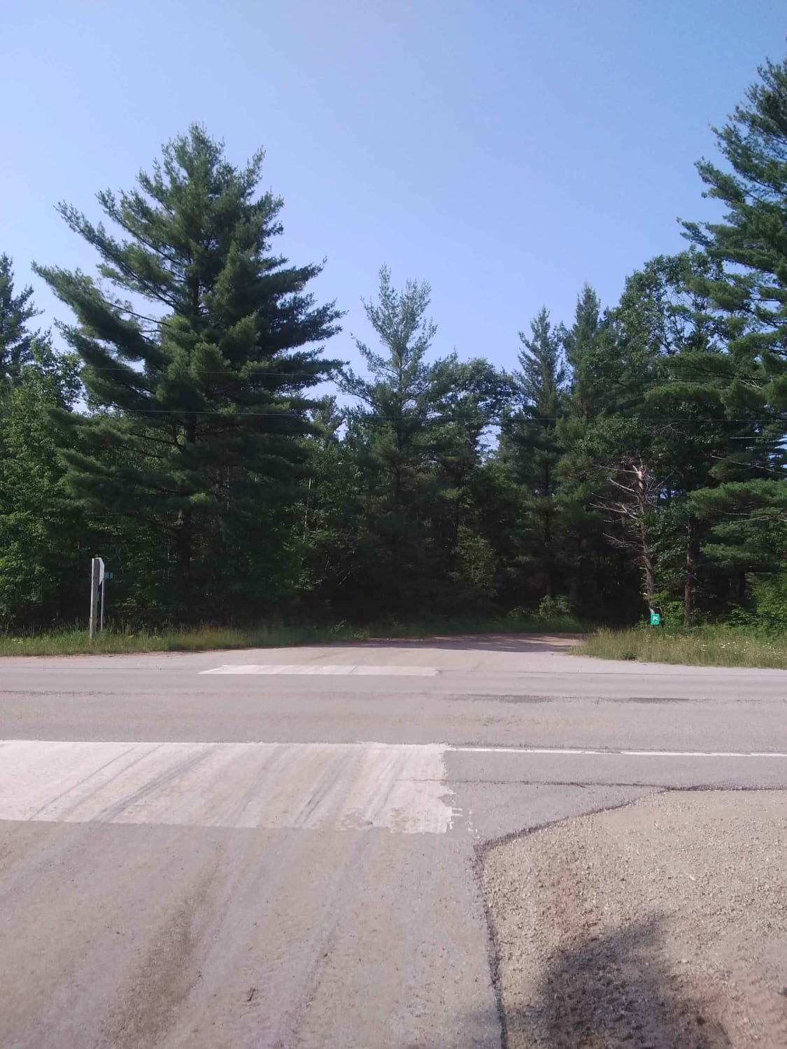
#409-425 Pipeline Road to HWY 64 East
Total Miles
31.2
Tech Rating
Easy
Best Time
Spring, Summer, Fall
Learn more about Barrens Loop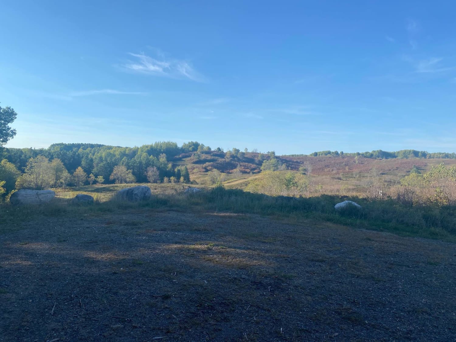
Barrens Loop
Total Miles
2.7
Tech Rating
Easy
Best Time
Summer, Winter, Fall, Spring
Learn more about Bayfield Timber Trail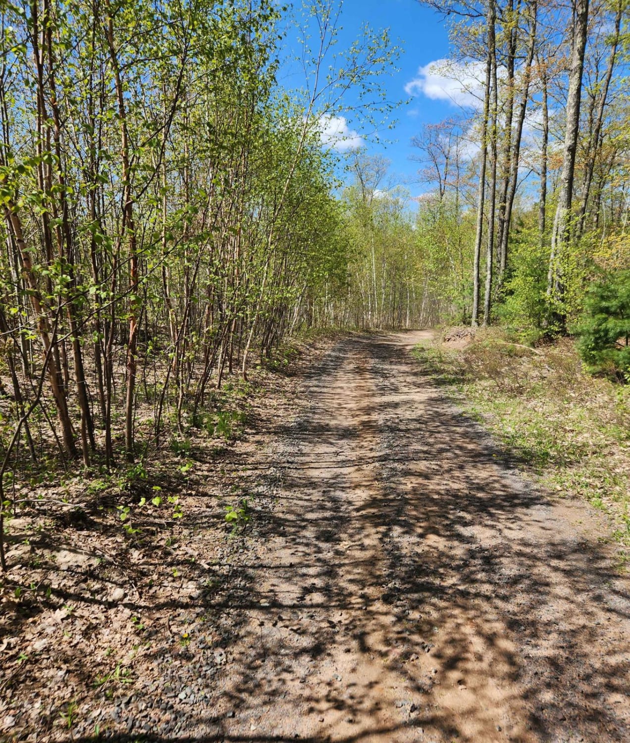
Bayfield Timber Trail
Total Miles
4.2
Tech Rating
Easy
Best Time
Fall, Summer, Spring
UTV/side-by-side trails in Wisconsin
Learn more about #409-425 Pipeline Road to HWY 64 East
#409-425 Pipeline Road to HWY 64 East
Total Miles
31.2
Tech Rating
Easy
Best Time
Spring, Summer, Fall
Learn more about Barrens Loop
Barrens Loop
Total Miles
2.7
Tech Rating
Easy
Best Time
Summer, Winter, Fall, Spring
Learn more about Barron to Cameron - Blueberry Trail Extension
Barron to Cameron - Blueberry Trail Extension
Total Miles
7.2
Tech Rating
Easy
Best Time
Summer, Fall
The onX Offroad Difference
onX Offroad combines trail photos, descriptions, difficulty ratings, width restrictions, seasonality, and more in a user-friendly interface. Available on all devices, with offline access and full compatibility with CarPlay and Android Auto. Discover what you’re missing today!