Crandon Highway 8 Trail
Total Miles
11.5
Technical Rating
Best Time
Spring, Summer, Fall
Trail Type
60" Trail
Accessible By
Trail Overview
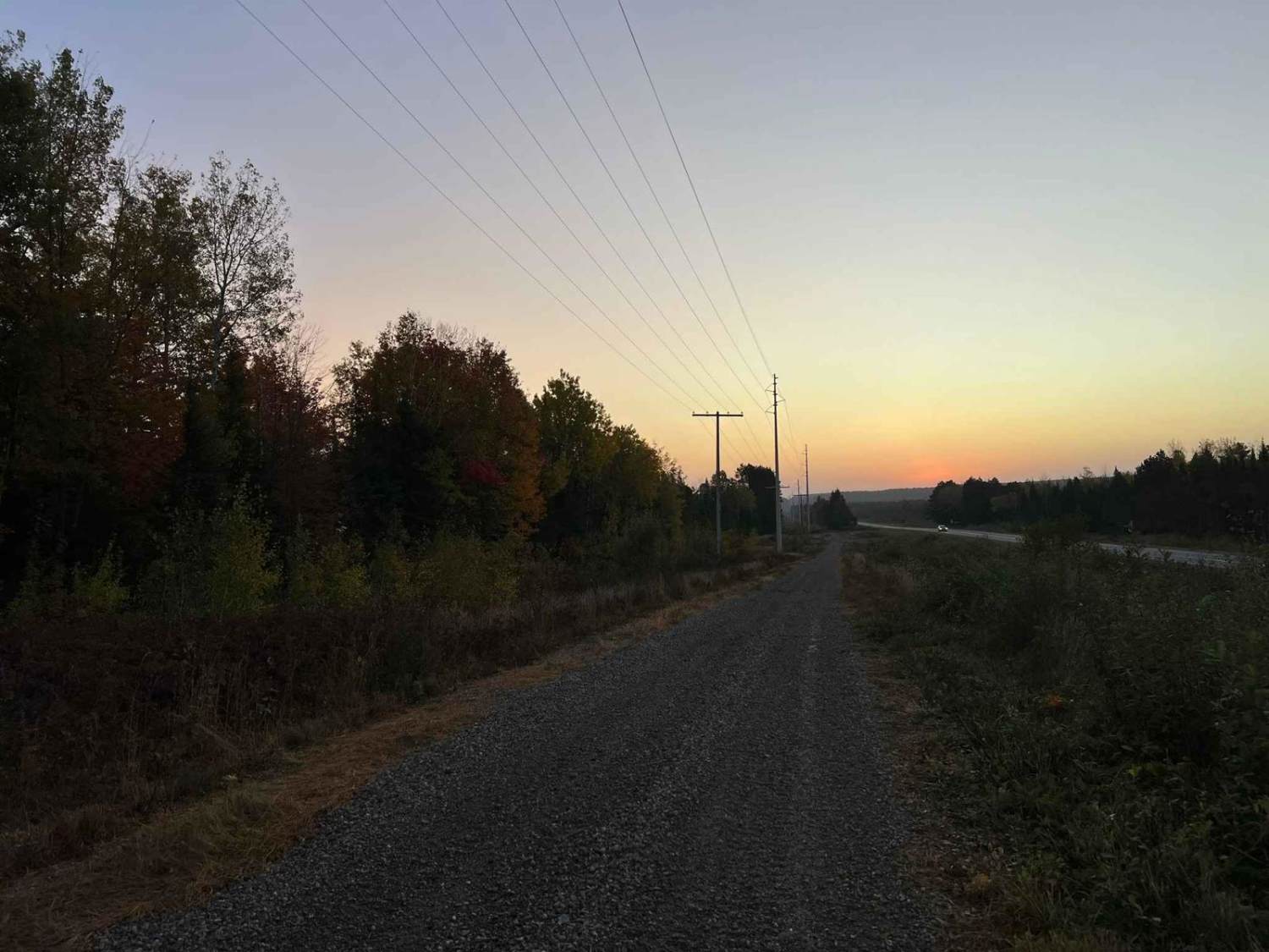
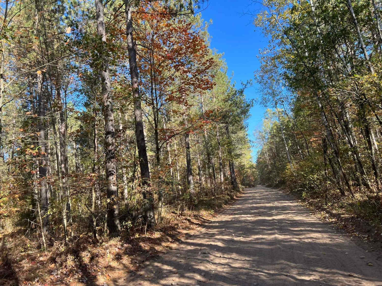
This ATV/ SxS trail runs from the town of Crandon to the town of Monico alongside US Highway 8. This trail serves as a great access point to the Crandon area trail systems, as well as the Enterprise/ Pelican Lake, and Harrison Hills Trails. This trail has several speed-restricted areas along the way, as well as frequent stops due to the driveways, and roads the trail crosses. The trail surface is primarily packed gravel. Sights along the way are excellent as this trail navigates some of the many hills in the area, allowing for excellent viewing of, Crandon, Lucus Oil Stadium/ Race Track, and Oneida County.
Photos of Crandon Highway 8 Trail

Difficulty
This trail can be navigated by riders of any skill level. Sightlines are excellent for the oncoming traffic, as well as being exceptionally signed. Some portions of this trail are just under one and a half vehicle widths wide, but most range from two vehicle widths wide.
Status Reports
Crandon Highway 8 Trail can be accessed by the following ride types:
- SxS (60")
- ATV (50")
Crandon Highway 8 Trail Map
Popular Trails
Trail 5- Forest Road 219

Florence County F2 Lake Emily
BRST: Sturm to Eleva
The onX Offroad Difference
onX Offroad combines trail photos, descriptions, difficulty ratings, width restrictions, seasonality, and more in a user-friendly interface. Available on all devices, with offline access and full compatibility with CarPlay and Android Auto. Discover what you’re missing today!