Florence County F2 Lake Emily
Total Miles
5.8
Technical Rating
Best Time
Spring, Summer, Fall
Trail Type
60" Trail
Accessible By
Trail Overview
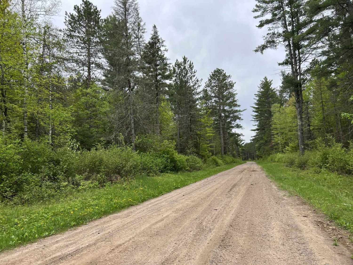
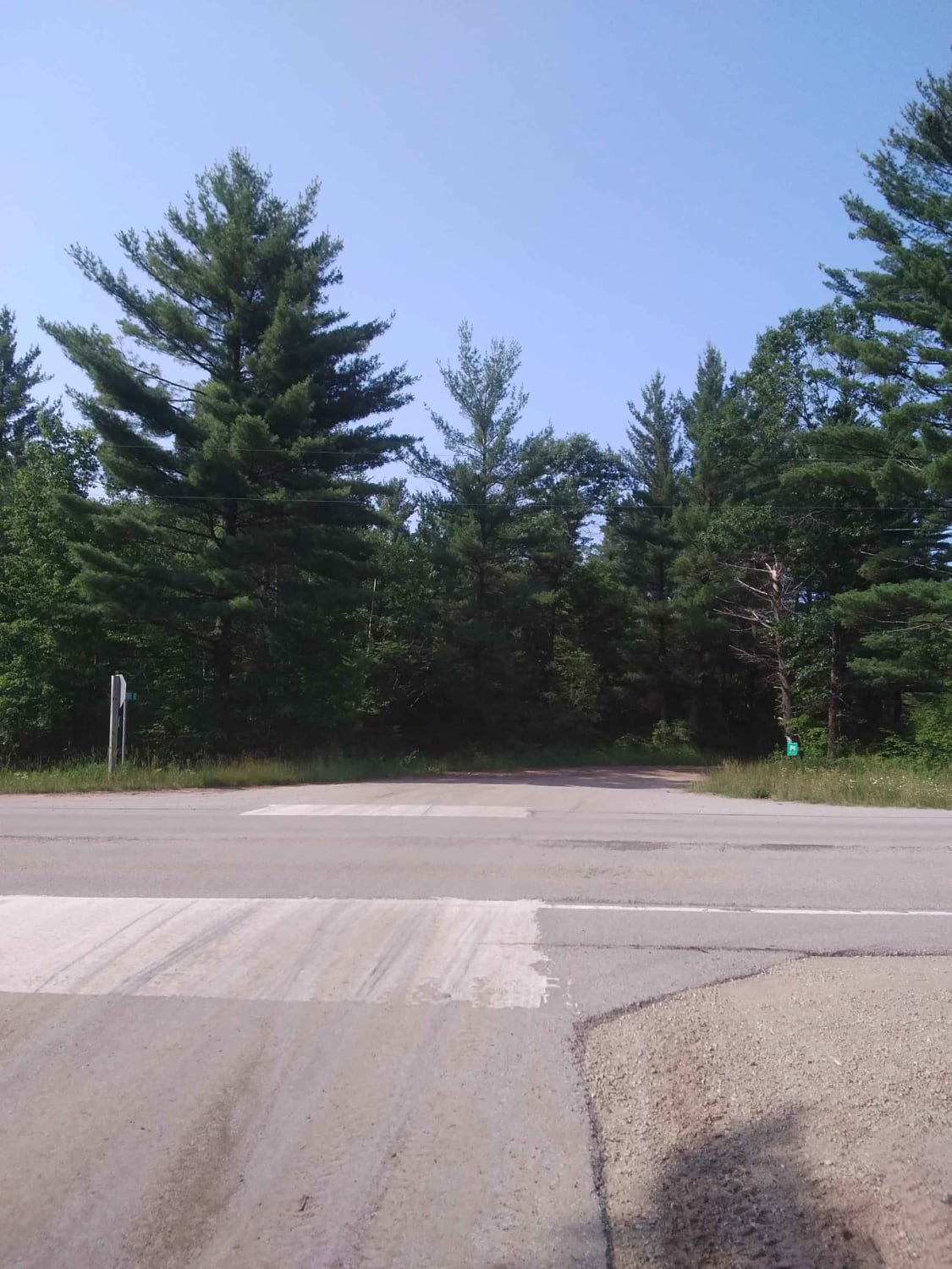
This seven-mile stretch of trail runs along part of the Florence County F2 Trail. Starting at Intersection 18 and ending at Intersection 17. If traveling from Intersection 17 North, this trail will begin as hard-packed clay/ gravel, much like what many other trails in the area offer. Certain spots on the trail have stretches of soft sand. Some of these sandy areas will have water holes that may need to be crossed after periods of heavy rain. The scenery along this trail is excellent as it winds through mature forests with a good mix of tree types. Portions of this trail are accessible by road-going vehicles, so be cautious when approaching blind areas. The trail navigates through sections of Florence County public lands, and some timber company lands.
Photos of Florence County F2 Lake Emily


Difficulty
Riders of all skill levels can navigate this trail. The terrain is very forgiving with okay to good sight lines throughout. The trail is mostly one and a half vehicle widths wide, with a couple of spots that open up to two vehicles wide for easy passing. This trail is typically unmaintained after periods of rain, this can leave some areas of washout on the trail, as well as water spots in some areas. These areas are usually easy to navigate. The trail surface provides a good base for water crossings helping to reduce the risk of becoming stuck.
Status Reports
Florence County F2 Lake Emily can be accessed by the following ride types:
- SxS (60")
- ATV (50")
Florence County F2 Lake Emily Map
Popular Trails
McArthur Pine FR 2167
#409-425 Pipeline Road to HWY 64 East

White Birch/ Firelane Road
The onX Offroad Difference
onX Offroad combines trail photos, descriptions, difficulty ratings, width restrictions, seasonality, and more in a user-friendly interface. Available on all devices, with offline access and full compatibility with CarPlay and Android Auto. Discover what you’re missing today!