Florence County F16/6 Barrens Natural Area Trail
Total Miles
7.5
Technical Rating
Best Time
Spring, Summer, Fall
Trail Type
60" Trail
Accessible By
Trail Overview
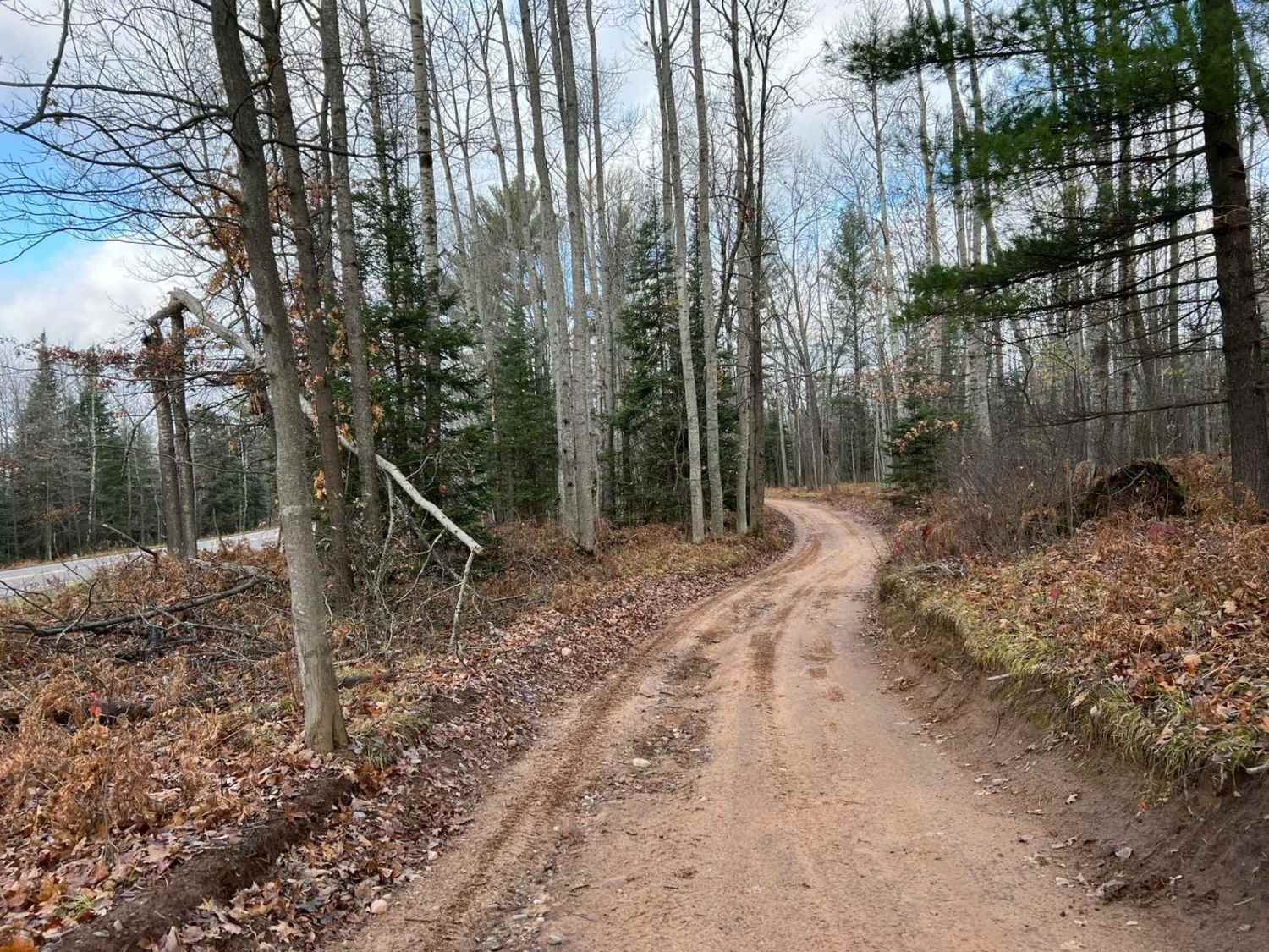
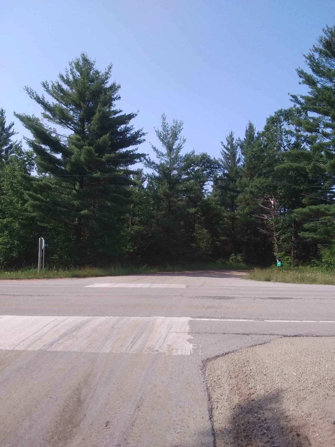
This trail runs from Florence County F15 north to Stateline Route 2. The trail was mapped on 11/24. If you ride north to south, this trail will navigate alongside County Rd N. The trail winds through some of the scenic and rolling landscape along the highway. It provides excellent views of the area from atop hills on the trail. The trail will continue to run along County Rd N for a couple of miles, passing by a river with parking and fishing access and a parking spot for hiking trails. Once the trail departs from County N, it will enter the Barrens Natural area. The trail in this area is truly something spectacular. It twists and winds through all of the rolling hills in this area. The scenery on this trail is some of the best in the area. There are road-going vehicles allowed in the Barren's natural area; be sure to watch for them--the trail surface changes quite regularly from gravel to clay and even some spots of sand. On average, the trail stays roughly one and a half machines wide when alongside County Road M. Once in the Barrens Natural Area, it opens up to at least two vehicles wide.
Photos of Florence County F16/6 Barrens Natural Area Trail

Difficulty
Riders of all skill levels can easily ride this trail. The portion of trail located along County Rd N, will have some low spots that will fill with no more than 12" of water after a heavy rain. Sight lines on this section of the trail are Poor to okay, as the trail is relatively tight, and has a fair amount of corners that block views of oncoming traffic. Once in the Barrens Natural area sight lines are excellent, and the trail surface is excellent.
History
Spread Eagle Barrens State Natural Area (SEBSNA) was established in 1995 to protect an extensive landscape of bracken grassland or 'barrens'. Bracken grassland is a regionally unique type of pine barrens that is only present in northeastern Wisconsin. Consisting of a mosaic of six different natural communities, SEBSNA includes bracken grassland habitat and associated flora and fauna that require large expanses of open vegetation. The lower reaches of the Pine River, a designated Wild River, traverse the site, and the Menominee River forms the property's eastern boundary. The property encompasses 8,418 acres, including a 1,305-acre easement owned by We Energies. Sourced from the Florence County website: https://www.exploreflorencecounty.com/tourism/featured-destinations/spread-eagle-barrens-state-natural-area/
Status Reports
Florence County F16/6 Barrens Natural Area Trail can be accessed by the following ride types:
- SxS (60")
- ATV (50")
Florence County F16/6 Barrens Natural Area Trail Map
Popular Trails
#409-425 Pipeline Road to HWY 64 East

National Forest Road 1510

Roberts Lake Road - FS 2144 - Northern Half

Jones Dam FR 2177
The onX Offroad Difference
onX Offroad combines trail photos, descriptions, difficulty ratings, width restrictions, seasonality, and more in a user-friendly interface. Available on all devices, with offline access and full compatibility with CarPlay and Android Auto. Discover what you’re missing today!